
Quick report
- Cracking
- isolated
- Collapsing
- isolated
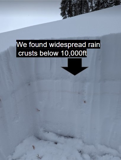
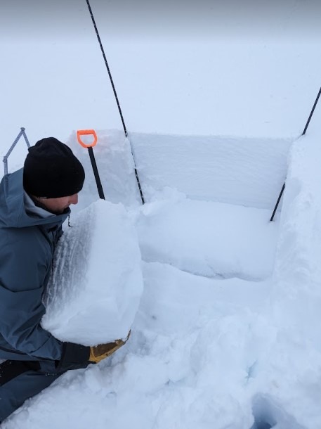
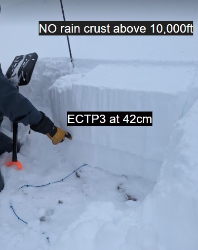
We toured the Sonora Pass area on the north ridge of Voodoo Bowl. We made our way through low-angle terrain to get a feel for how the recent snow/ rain event impacted the area. We found the rain-snow line to be around 10,000ft and a rain crust within the snowpack. We dug a pit below the tree line and did not have any propagation in our test results. Above 10,000 ft we did not see signs of a rain crust or saturated snow. New snow was wet and heavy, with new snow totals around 4 inches. We dug a pit on a North Face at 10,177 to see how the new snow was affecting the early November snow which has now faceted.
Stability Test Results:
- ECTP 3 at 42cm
- ECTP 5 at 42cm
- PST 23/100 End
- PST 11/100 End
Test reuslts indicated an unstable snowpack, We skied the mellow ridgeline back down, avoiding avalanche terrain. With all the new snow/ loading onto the persistent weak layer, we not only have a persistent slab problem but now a rain crust that may impact stability further as we continue to get more snow.
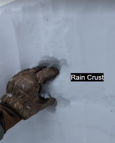
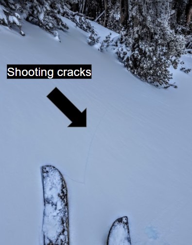
Localized cracking and whumpfing on the skin track, recent rain has created a rain crust below 10,000 ft. The rain crust was unsupportable and caused cracking in the upper levels of the snowpack. We heard whumpfing within the snowpack above 10,000ft where the rain crust didn't exist. The collapse of the weak facet layers under the new snow caused whumpfing.
Weather
- Air Temp
- 30
- Cloud Cover
- obscured
- Wind Loading
- none
- Rain Elevation
- 10000
- Snow Avail For Transport
- small smounts
Cloudy and windless day. The day started with tempatures above freezeing at 5am above 10, 000ft. The day gradually gave way to colder air temps and air tempatures dropped below 32F in the afternoon.
Snowpack
There is still a very meager snowpack in the forecast region, but areas that do have enough snow for recreation have developed a persistent slab problem. Weak layers from early November storms are the base of our snowpack right now and they have been covered by new snow creating dangerous avalanche conditions. To add to the persistent slab, a high-elevation rain event has saturated the snowpack below 10,000ft. creating a rain crust between the early season facets and new snow. Height of snow ranges from 1-2 ft deep and up to 4 ft deep in sheltered terrain.