Low Danger is not No Danger
Dec 28th, 2023 3:00 PM
keith
Tutshi
Details
Type
quick
Coordinates
49.761490, -117.200450
Quick Observation
Avalanche Information
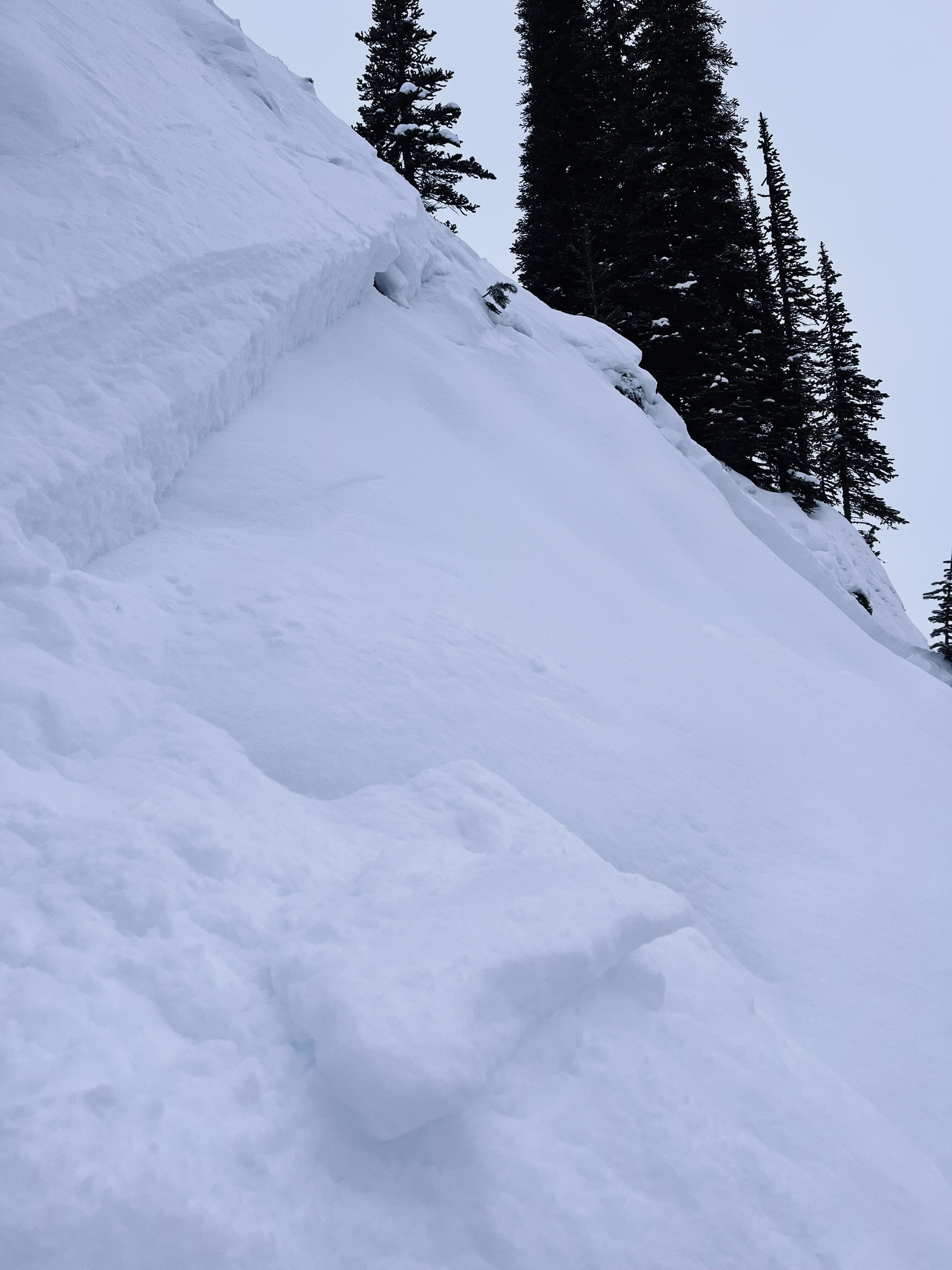
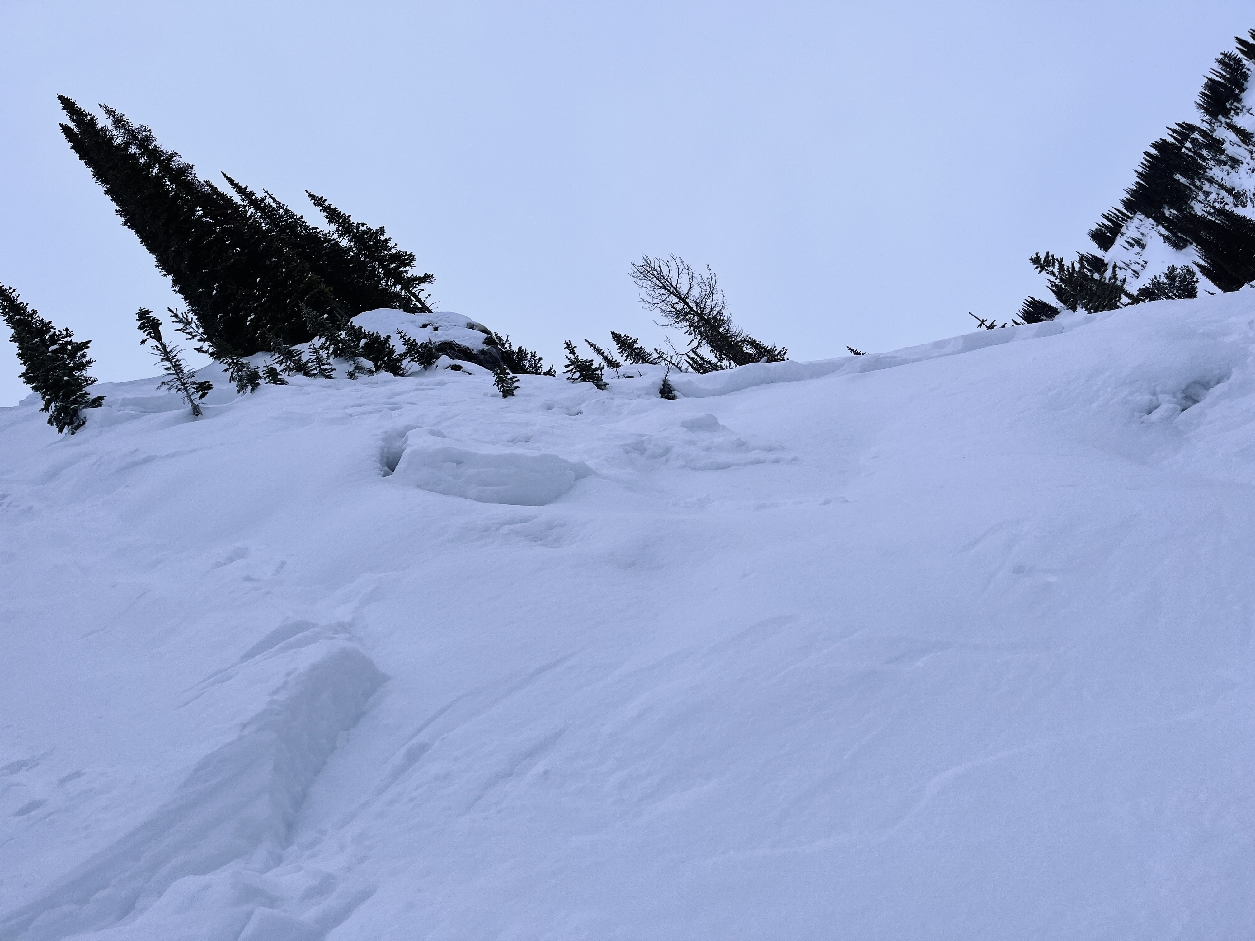
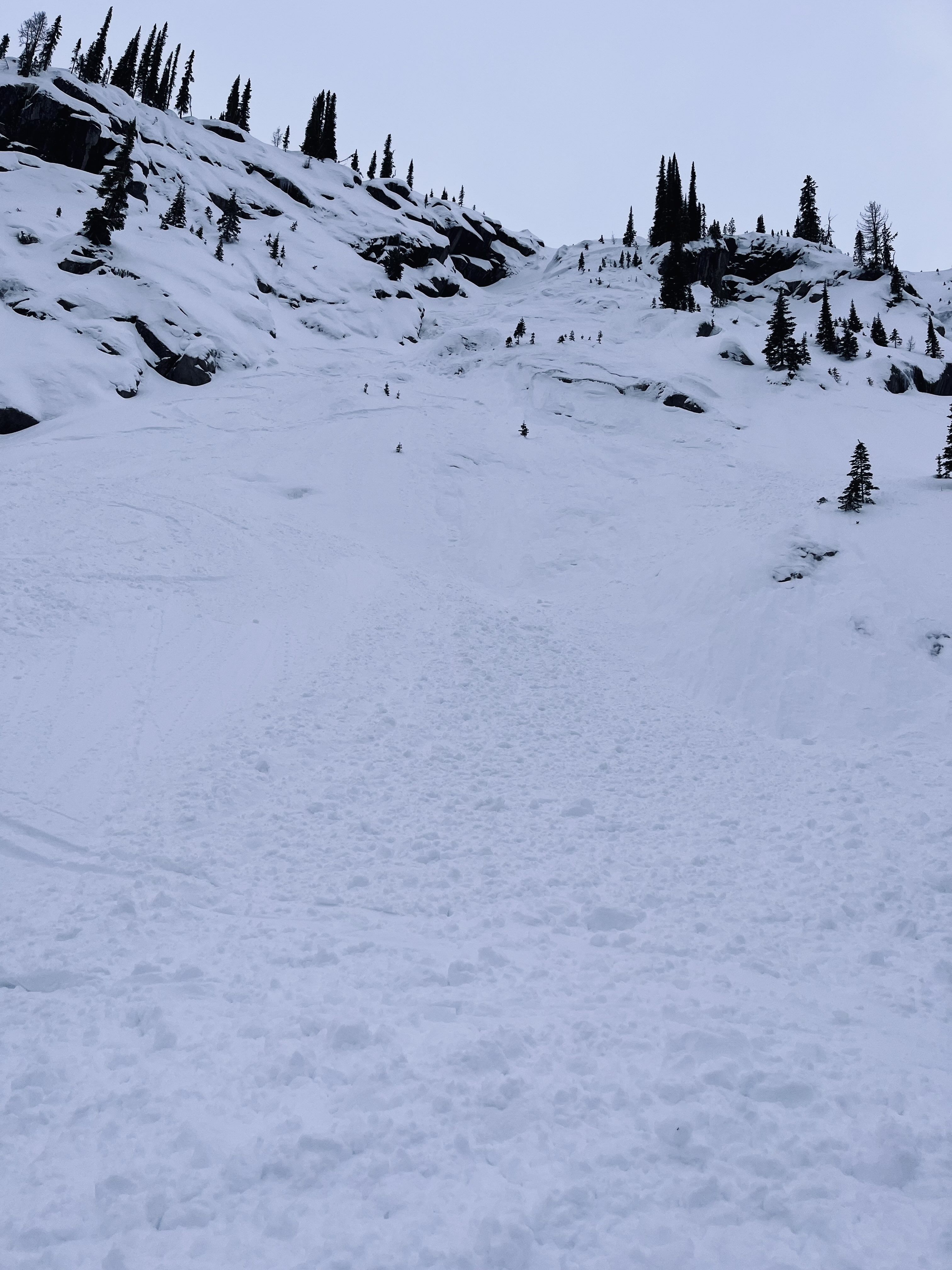
Failure plane was the top of the Dec 06 rain crust (10cm thick). Though the debris ran to the bottom of the slope, it is suspected that the primary slab release was about 40m long. This slab scrubbed surface snow during its descent to the runout. No involvement. Slab released just below the skier's tracks. Associated video made for State of the Snowpack and Kootenay Avalanche Courses YouTube Channel:
https://www.youtube.com/channel/UCTMfxxWAPxAO0YNzwmS1SmA
Photos (3)