
Quick report
Surfaces were softening early in the morning, but stayed supportable into midday. We saw no signs of instability or avalanches aside from one small wet loose off the rocks in the northwest bowl of Galena Peak.
Weather
- Air Temp
- >32
- Cloud Cover
- clear
- Wind Loading
- previous
- Snow Avail For Transport
- none
It was a warm day with calm to light winds.
Snowpack
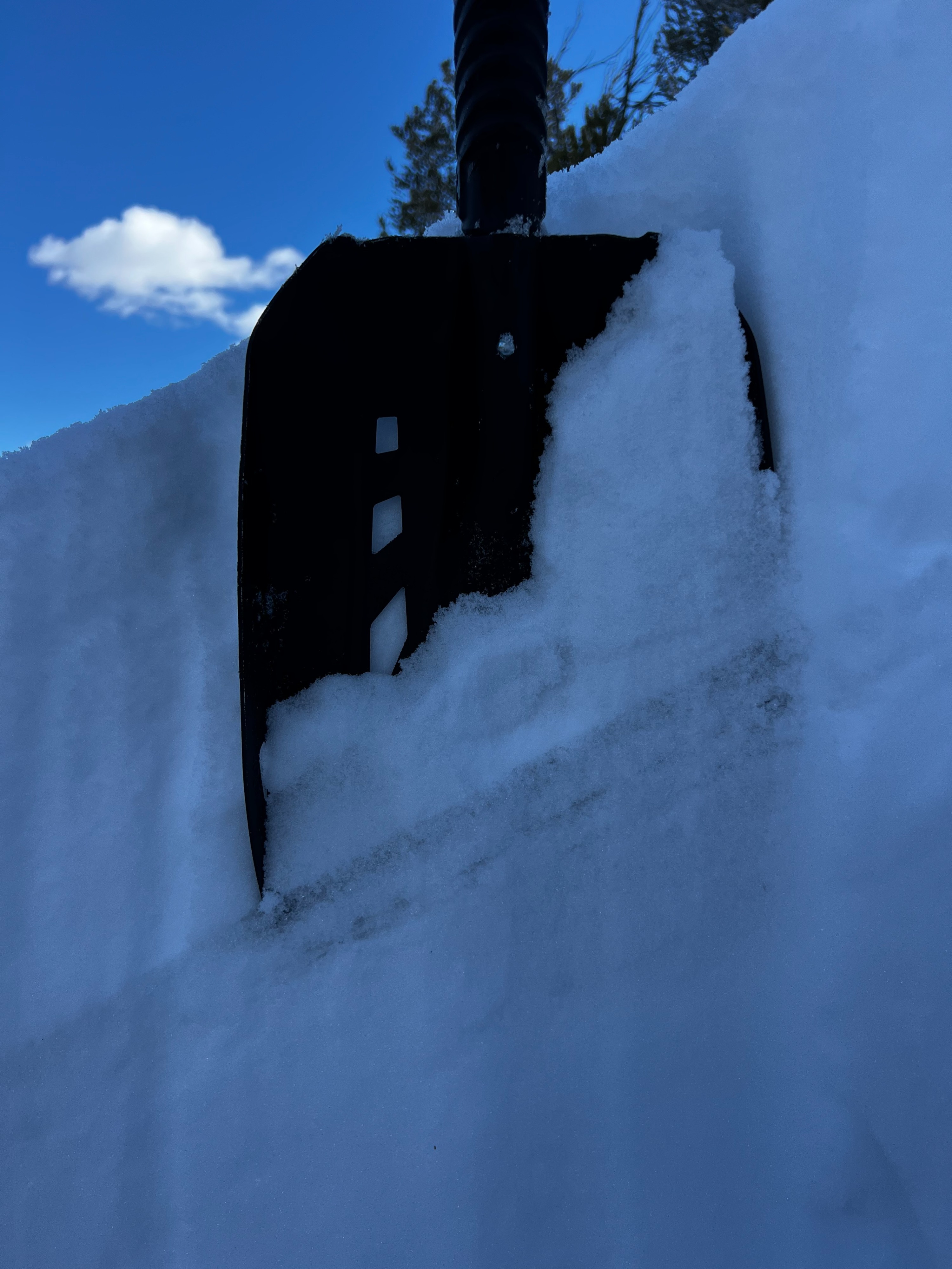
By 10 am, the surface crust was softening on any aspect that the sun was already hitting. On the SE and E aspects we traveled, the sun was affecting the top 3 to 5cm of the surface up to 9500' by 11 am. On slopes receiving less sun and in shady or sheltered areas, there was a 1-2cm thick breakable temperature crust on top of 10-15cm of new snow from last week's storm
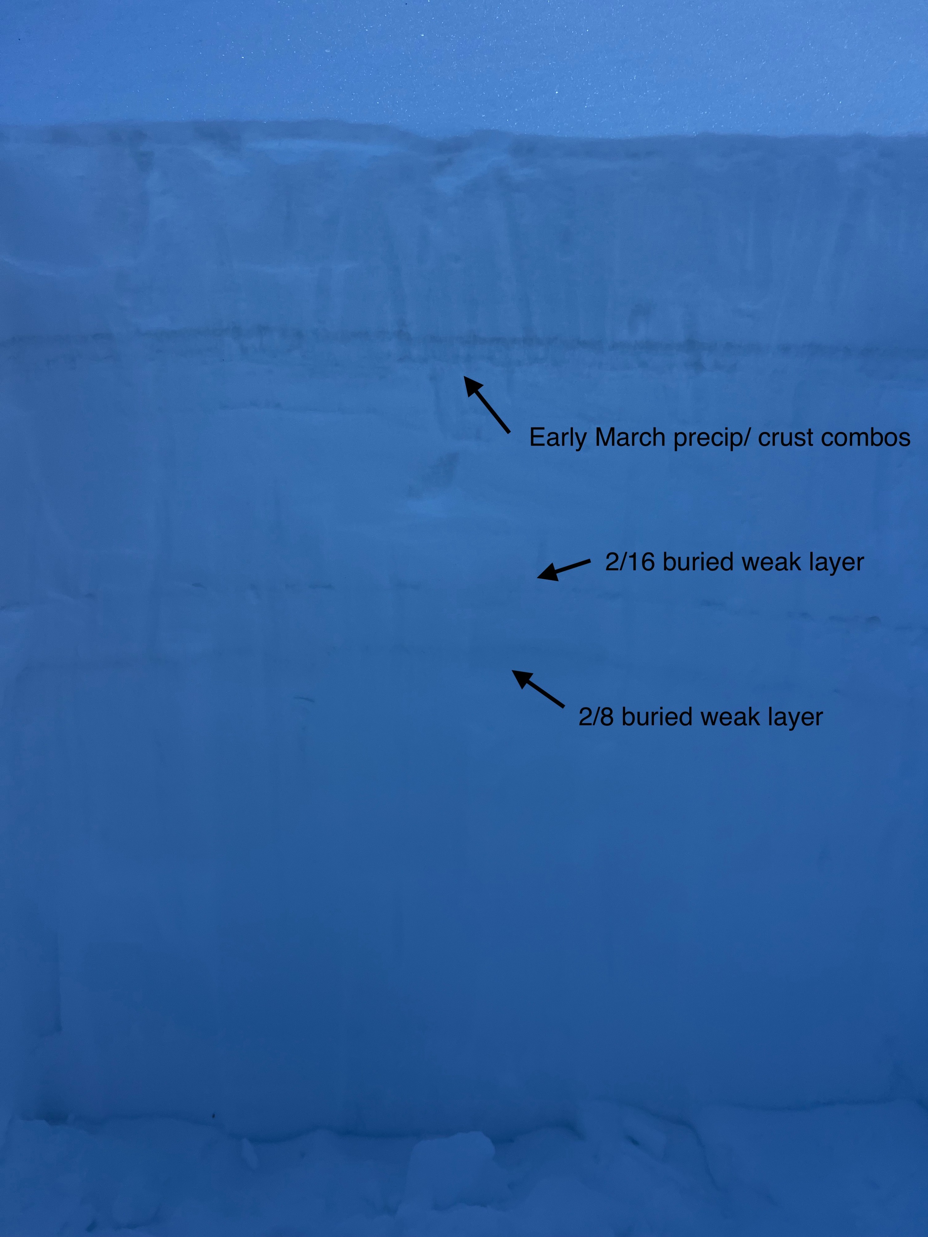
We dug on a sheltered NNW aspect at 9500' HS 215-225cm. The 2/16 and 2/8 buried weak layers were 67cm and 80 cm down. Water in the snowpack had not reached these layers.