
Quick report
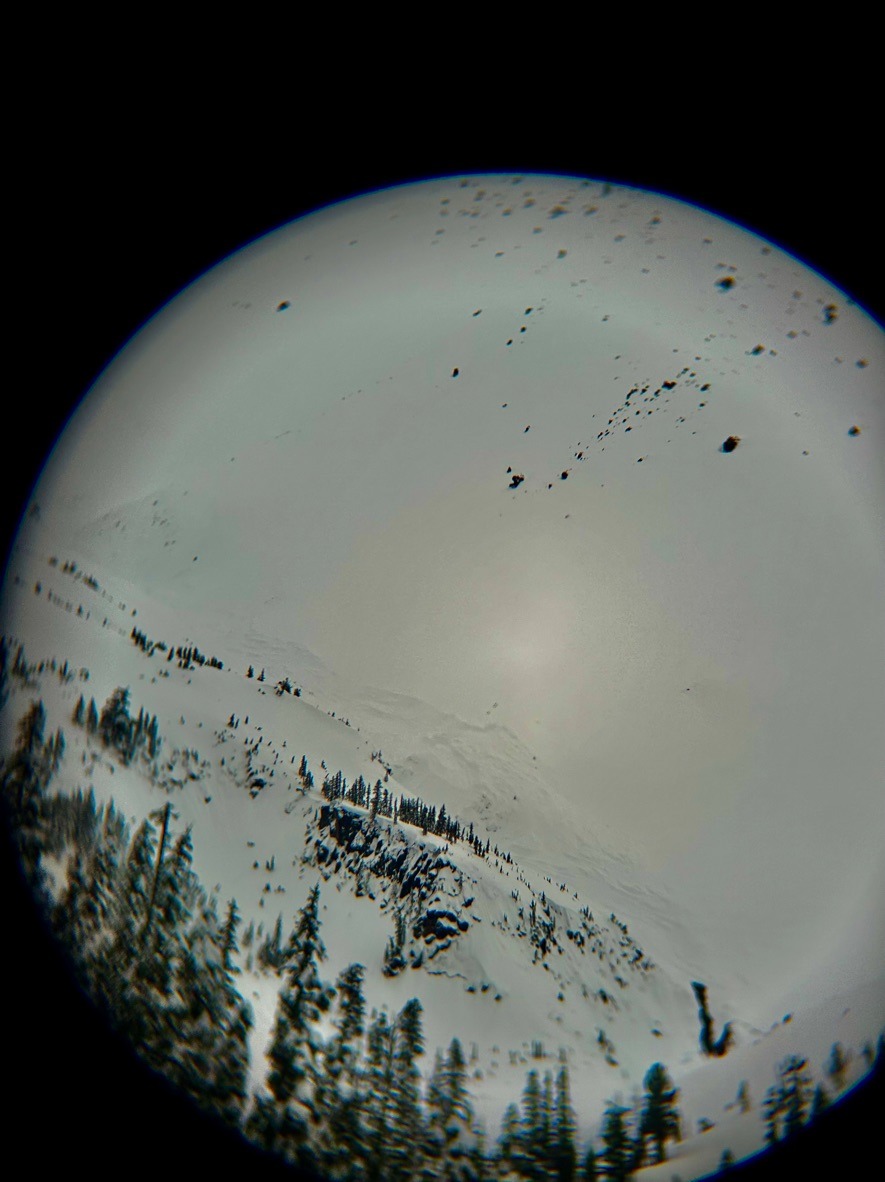
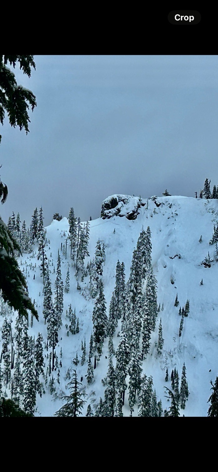
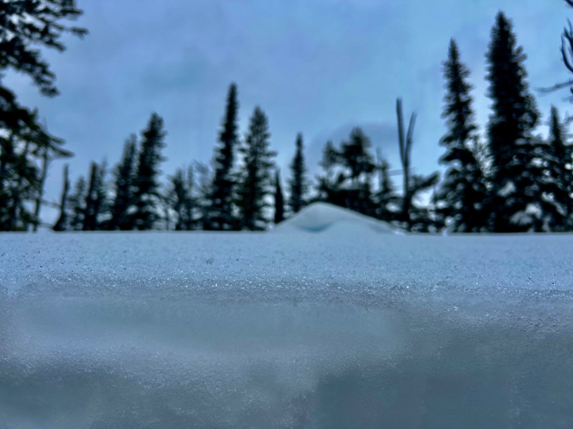
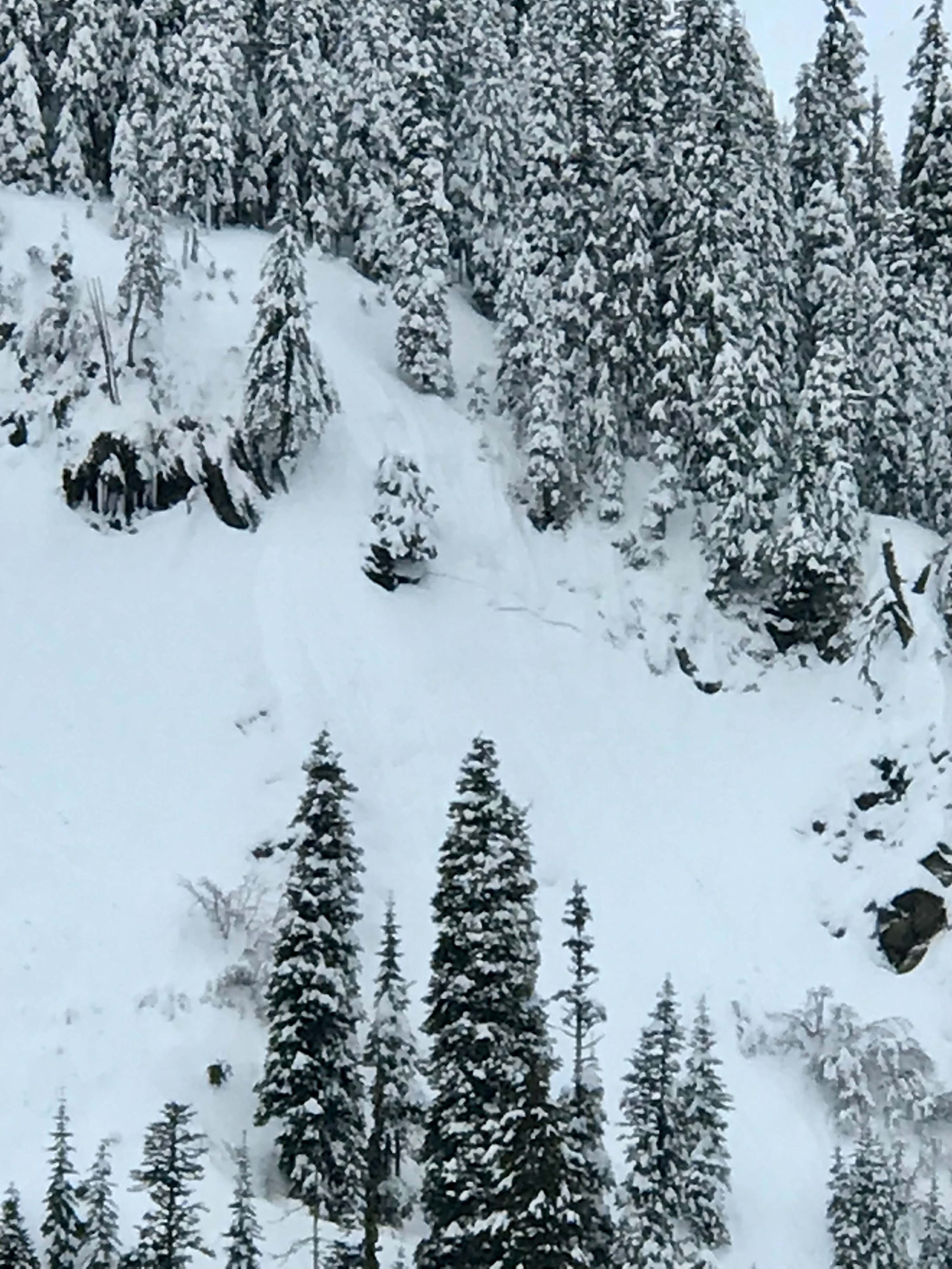
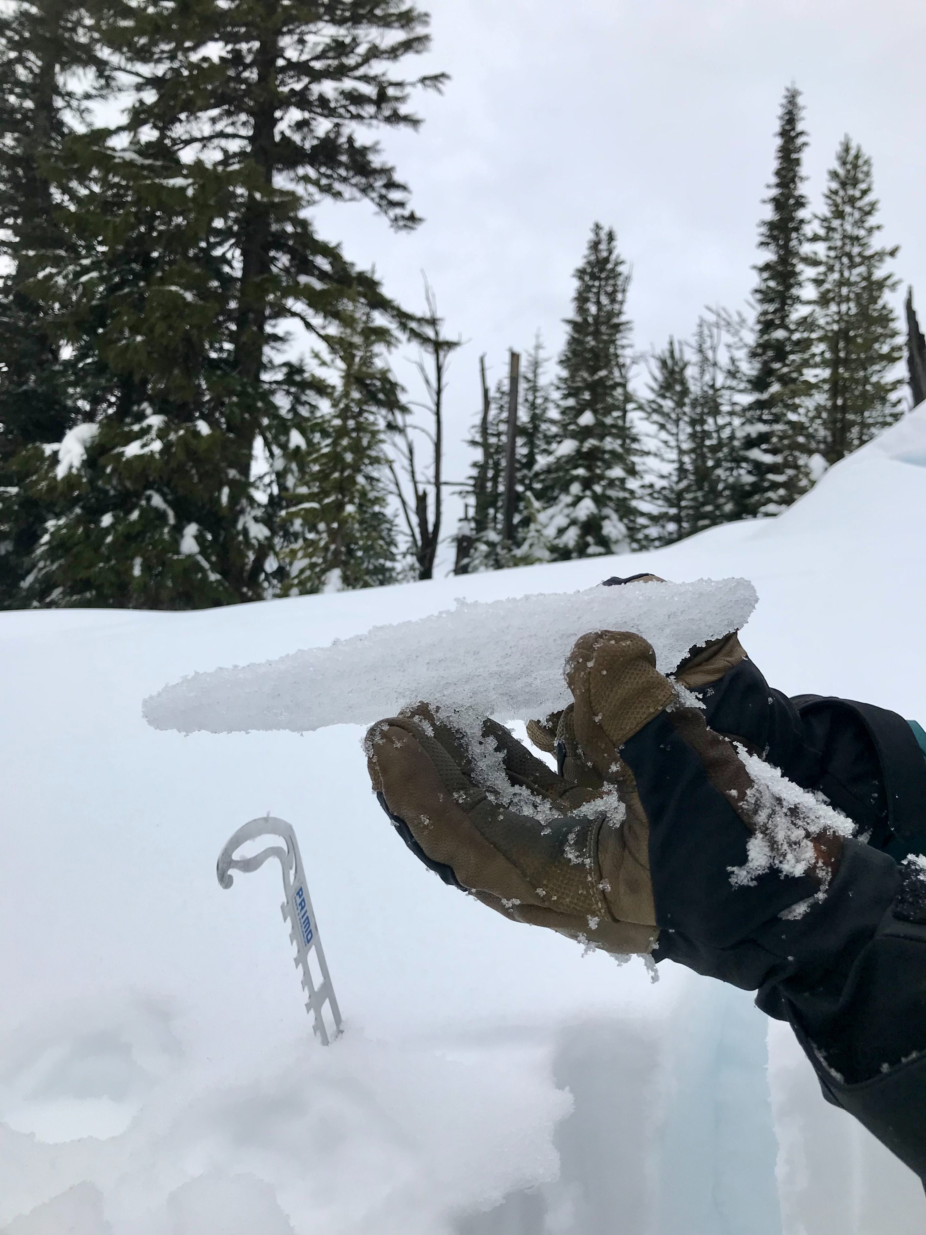
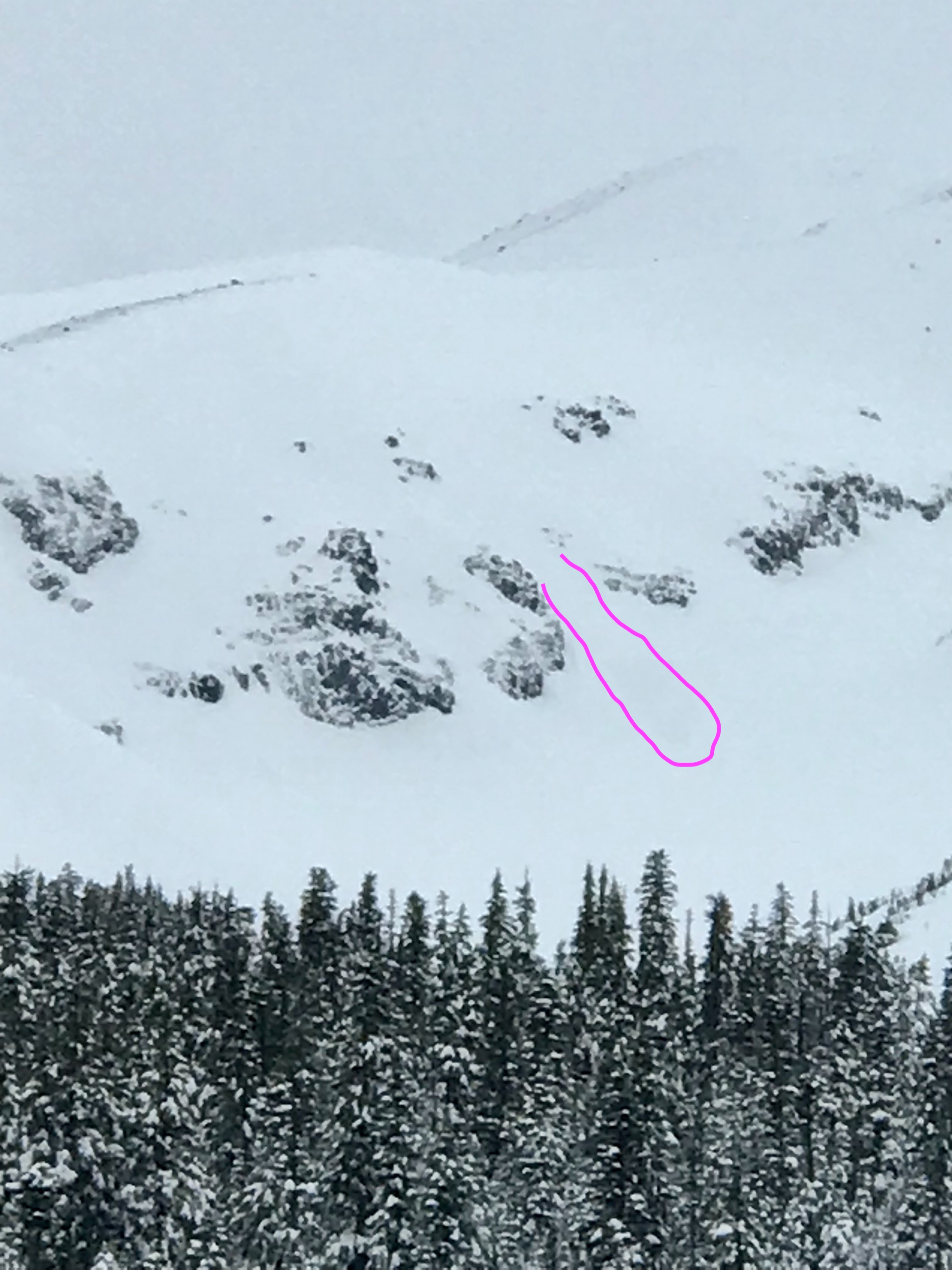
Today, we observed a widespread 1cm thick breakable rain crust up to our highpoint at 5300' on Pea Gravel Ridge. Needless to say, this crust made for unpleasant backcountry travel. Joe's quote of the day was, "Weird weather causes weird avalanches." This held true as we spotted the remnants of several avalanches from the past 48 hours, including the debris of a very large D4 avalanche that ran well into Clark Canyon. We also observed multiple older crowns in the 1-1.5 range across eastern aspects at lower and middle elevations.
As we transitioned around noon, we observed widespread 'tree-bombing' and the sounds of icicles dripping - indicating that the temperature rose above freezing.
Weather
- Air Temp
- 30
- Cloud Cover
- overcast
- Wind Loading
- none
- Snow Avail For Transport
- none
The early morning offered light wind and intermittent rain. The temperature crossed the freezing mark at noon and the west winds blew moderately.
Snowpack
Poor travel conditions limited our observations beyond 5300 feet. However, we dug a snowpit at 5200' on an ESE aspect and found a 220cm deep snowpack. In this location, we generally found a strong snowpack structure. The upper 8 inches was moist due to the recent warm temperatures and rain. We found the 12/30 layer gaining strength and nearly 6 ft below the snow surface. Snowpack tests yielded unremarkable results.
Avalanche
- Size
- D4.5 R4
- Type
- HS
- Aspect
- E
- Trigger
- N
- Elevation
- 10000 ft
This very large natural avalanche ran from the Wy'east Face and slugged into upper Clark Canyon. This avalanche occurred January 17th at roughly 1500 according to seismic signals. This timing aligns with the 2-3 inch per hour snowfall rates at nearby weather stations. We couldn't observe a crown due to poor visibility, so the start zone elevation is an estimate.