
Quick report
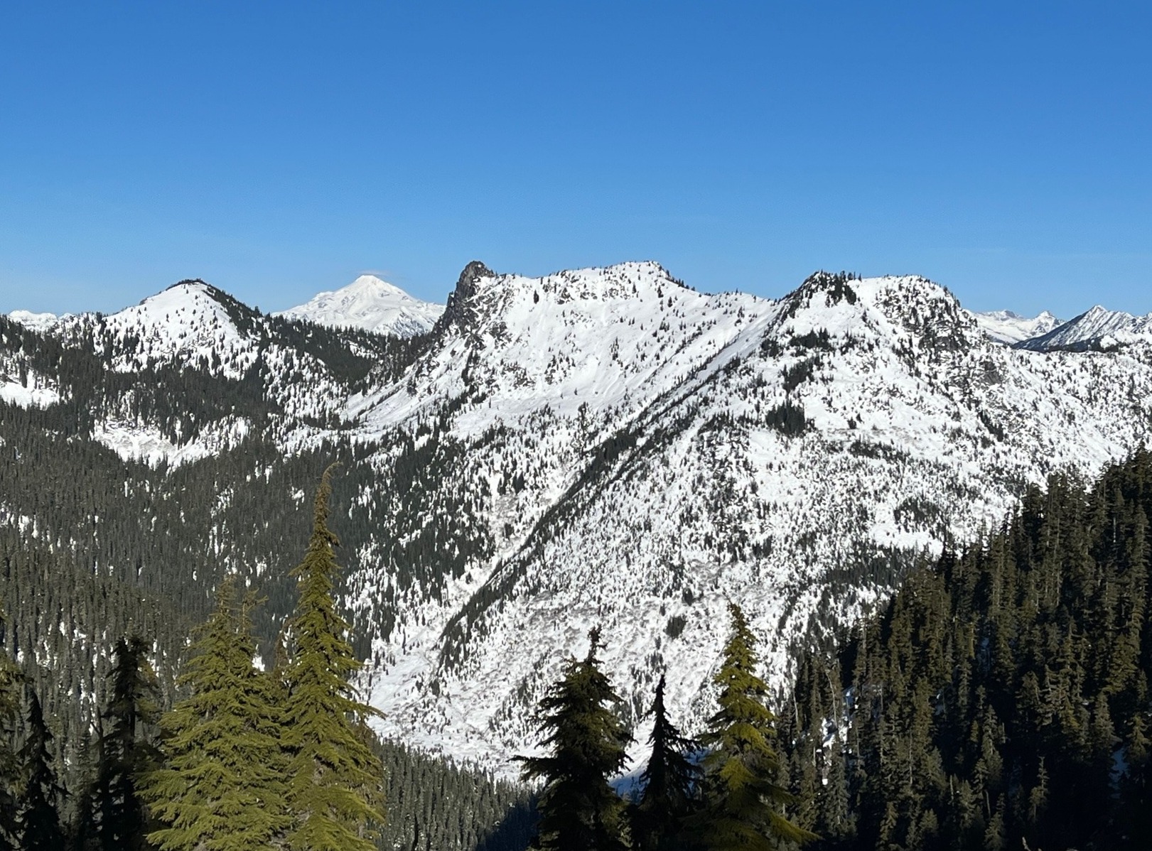
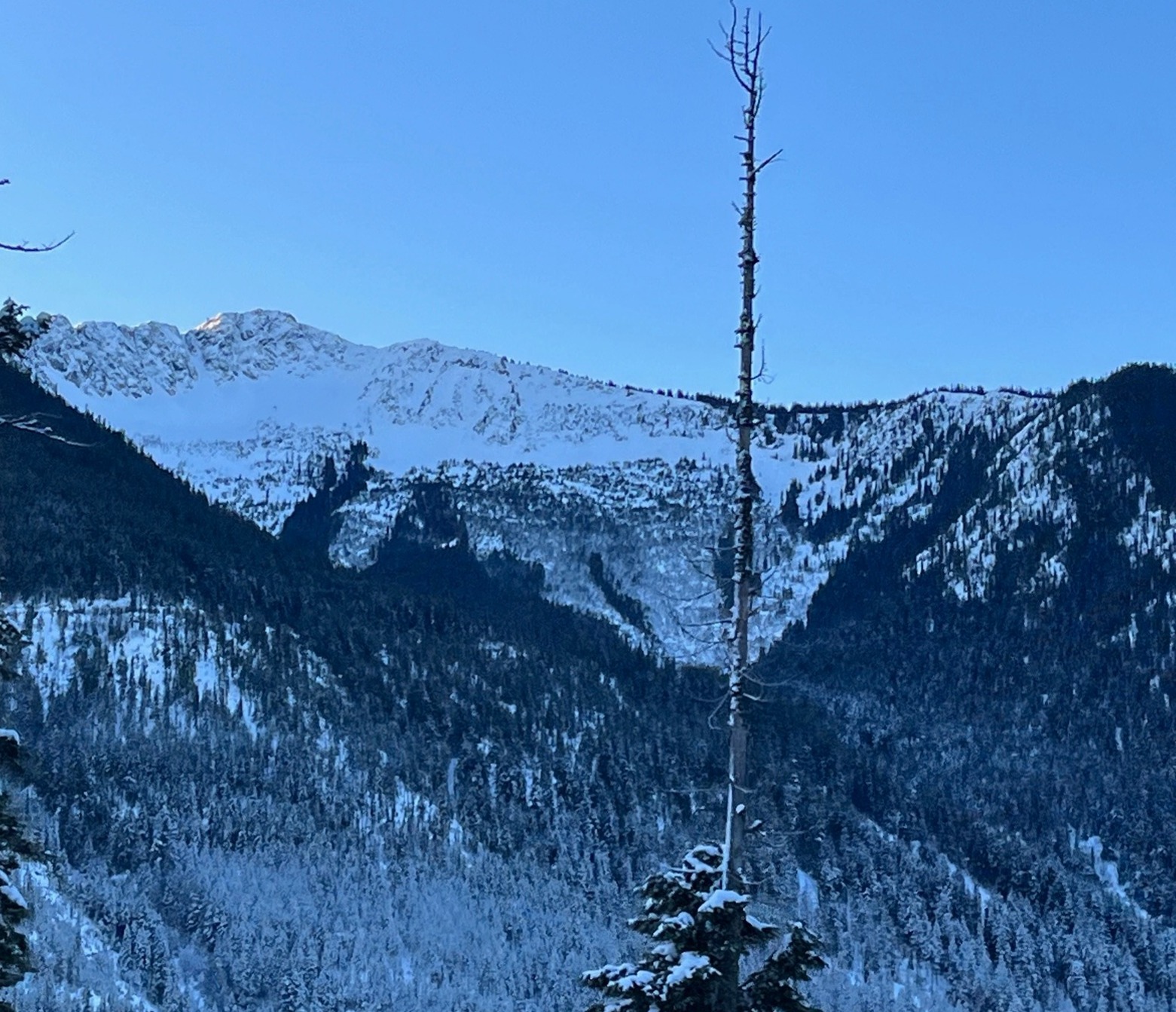
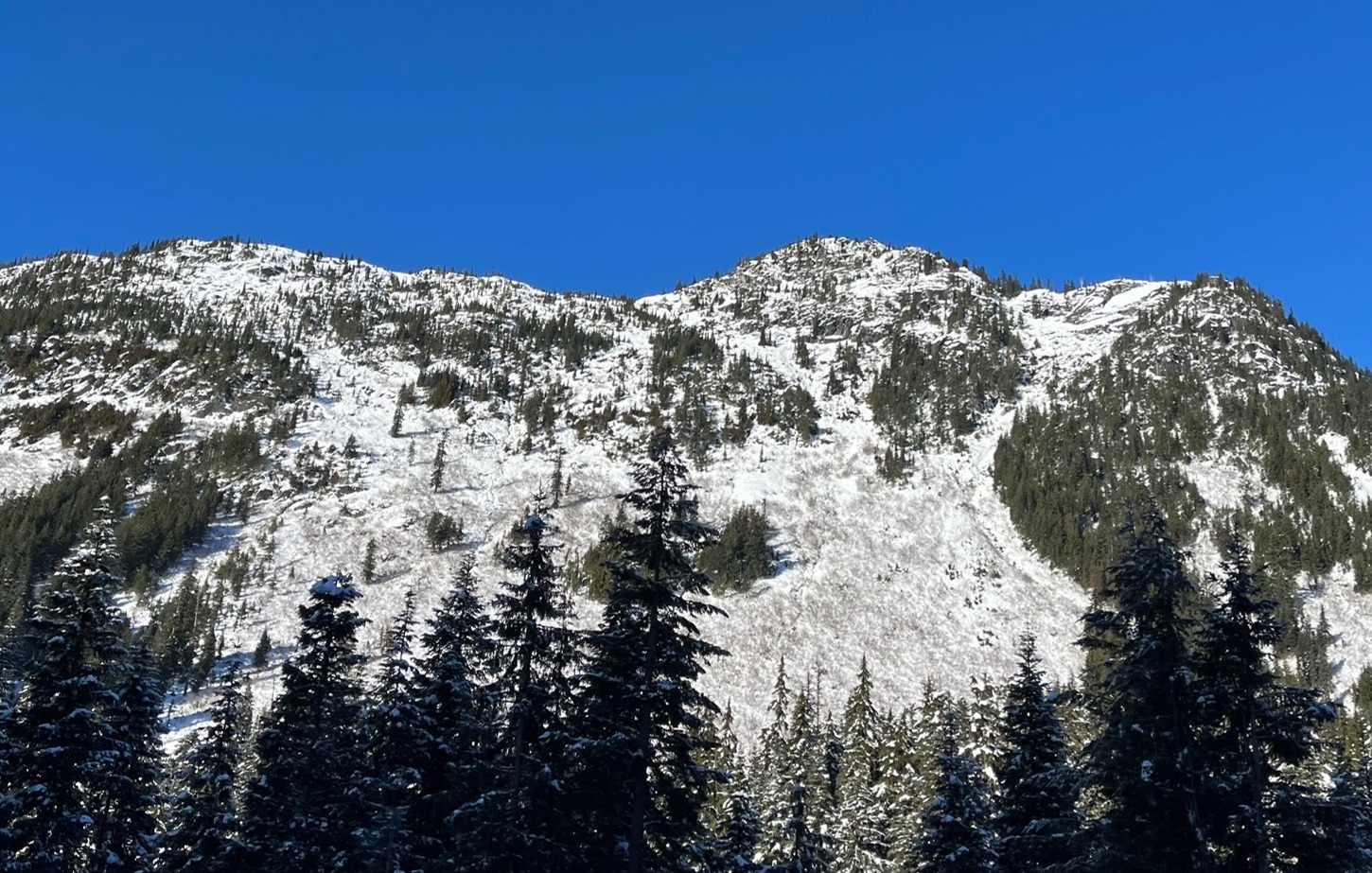
Clear skies, calm winds, and balmy temperatures ruled the day! With minimal new snowfall (1") and the old snow surface having been exposed to numerous days of sunshine, wet loose avalanche concerns were minimal. The snowpack is relatively homogenous and consists of a combination of melt-freeze crusts, rounded grains, and melt forms. Early season hazards persist at low and mid-elevations.
Despite the warmth, shaded areas maintained a cold and dry snow surface. Of future note, we found fairly widespread 3-5 mm surface hoar capping a thin rain crust. The crust was pretty fragile with weak snow beneath it. The surface hoar may have another evening to grow before the incoming storm. If preserved, this layer could become reactive beneath a new load.
Weather
- Air Temp
- 41
- Cloud Cover
- clear
- Wind Loading
- none
- Rain Elevation
- At least to 5300'
- Recent Snowfall
- 2.5
- Snow Avail For Transport
- none
Clear skies and calm/variable winds. Warm and humid.
Snowpack
We found widespread 3-5 mm surface hoar on top of a thin, semi-translucent rain crust formed towards the end of the precipitation on 12/19. The crust was capping about an inch of new snow. The snow surface stayed cool in the shade and softened considerably anywhere where it was exposed to the sun. We saw no signs of fresh wet loose activity, though we did get some inconsequential rollerballs on test slopes.
We dug a snow profile on an ENE aspect at 5310' with a slope angle of 20 degrees and an HS of 48". Below the surface crust was approximately 20" of alternating melt-freeze crusts and rounding grains sitting atop the 12/6 interface. This upper 20" was dry. Below the 12/6 interface, the bottom half of the snowpack consisted of moist melt forms.