
Quick report
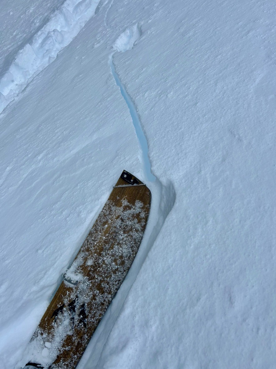
- Cracking
- widespread
Weather
- Air Temp
- Teens
- Cloud Cover
- obscured
- Wind Loading
- intense
- Recent Snowfall
- HN24: 68 cm (27 inches)
- Snow Avail For Transport
- large amounts
Instense precipitation rates combined with strong winds made for harsh, stormy travel.
Snowpack
Wow, what a storm cycle!
We didn't have to go far from the trailhead to observe obvious red flags and signs of instability. Heavy drifting was prominent which kept visibility low. Overall, the new storm snow was still quite reactive. Test slopes consistently produced shooting cracks and small storm slabs up to 1 ft deep. In more wind exposed areas (below treeline), we observed a more supportable (1 f) slab, and found these pockets to be reactive with small skin track cuts.
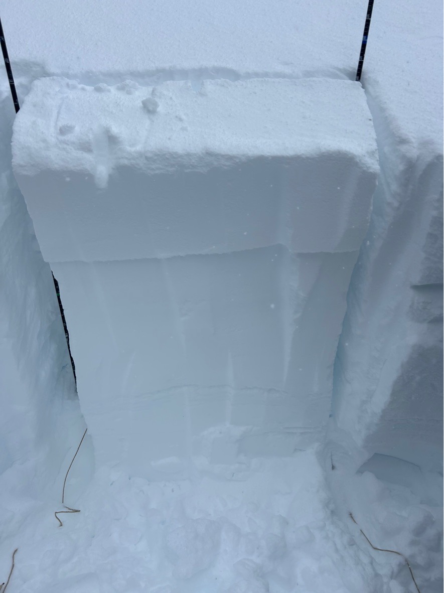
In a test profile @5700 ft, NE Aspect we obsered an HS of 165 cm. The top 110 cm of this was all the recent new snow since Jan 4th. In this location, we found the 1/4 and 12/30 crust-facet combo moist and gaining strength. However, we did receive propagating test results ( ECTP 4 x2) on a mid-storm layer 35 cm below the surface.
Travel is deep and slow currently. Tree wells are a real hazard that kept us on our toes while traveling through the thicker forest.
Slow travel and poor visibility limited observations above 5800 ft.