
Quick report
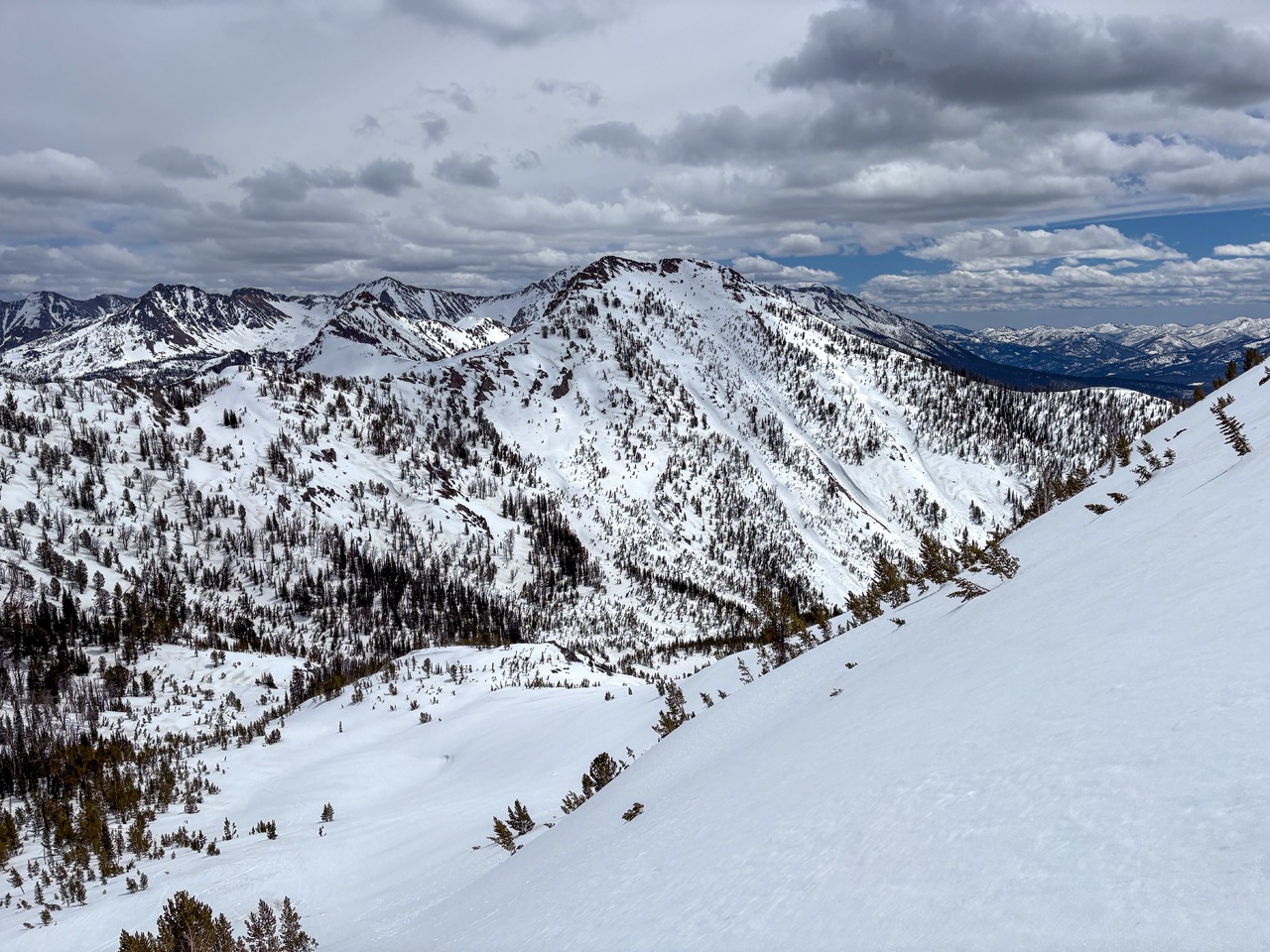
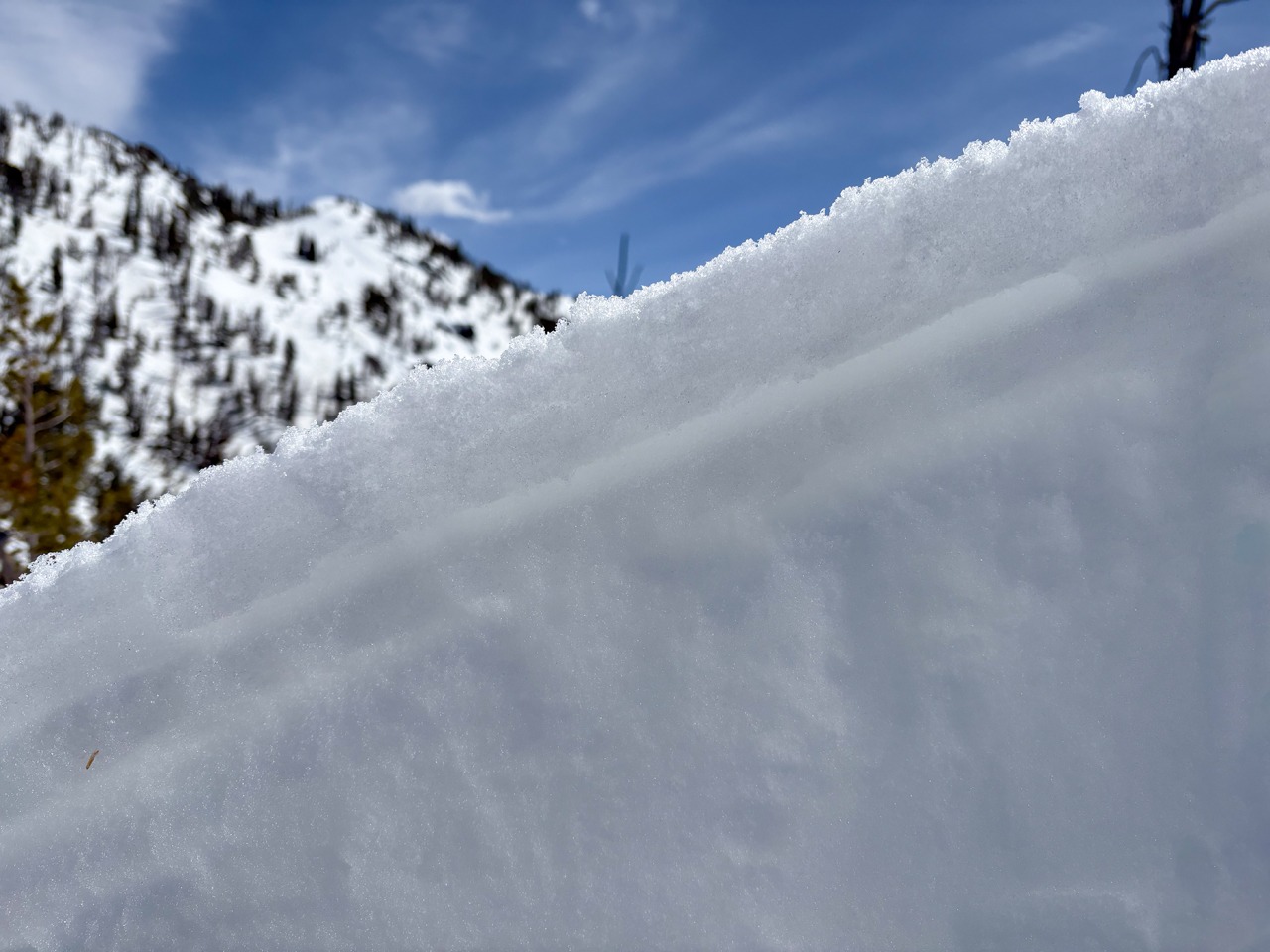
We were mindful of the softening of surface crusts but observed no significant avalanche concerns. We found some surface crust + facet variations on upper elevation, shaded slopes that could pose a problem with a return to snowfall.
No obvious signs of instability.Weather
- Air Temp
- Upper 30s F
- Cloud Cover
- scattered
- Wind Loading
- none
- Recent Snowfall
- 0
- Snow Avail For Transport
- none
Increasing clouds midday. A light breeze up high.
Snowpack
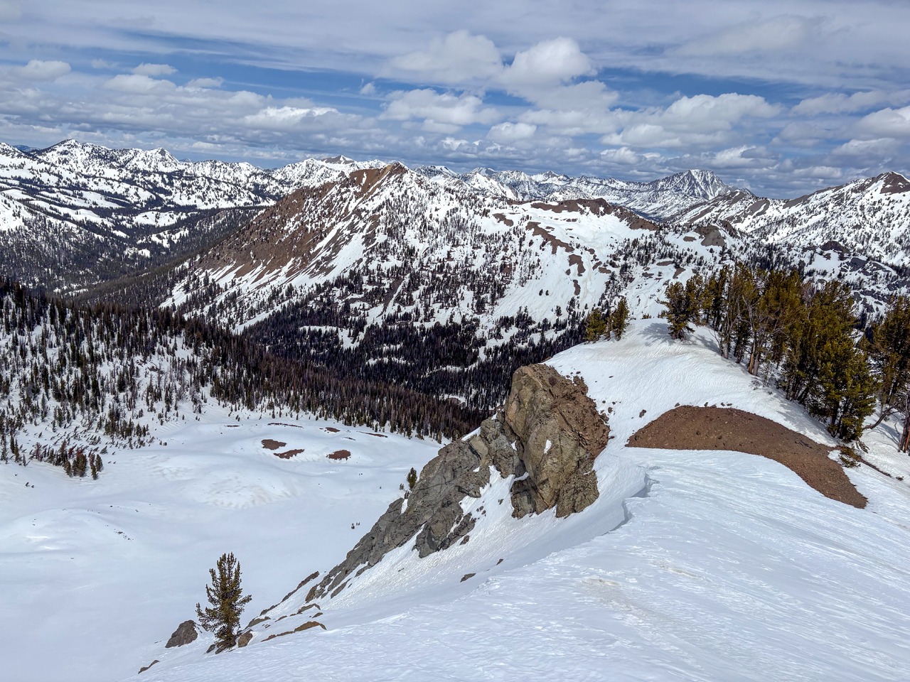
Surface crusts broke down uncapping a wet snowpack in a few areas on sunnier slopes by midday, particularly around rocks or in locally thinner snowpacks. For the most part, skiing remained supportable and we triggered only a few very small wet loose.
On sunny slopes, surfaces were very rough and in various stages of a melt-freeze cycle. On shaded, upper elevation slopes, thin wind and temperature skins capped some older, soft, dry snow.
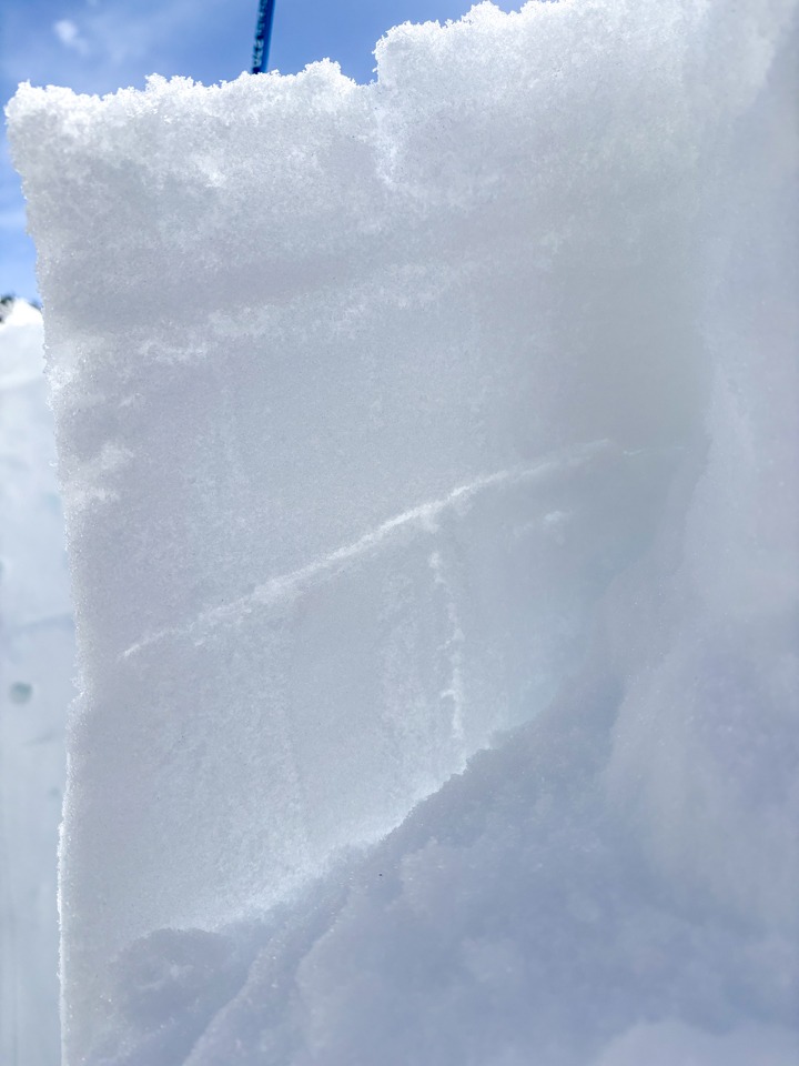
North @ 9,500', HS = 202 cm:
We found an 80 in (202 cm) thick, strong snowpack. Crust + facet combinations at the surface pose a potential problem on some shaded, upper elevation slopes with additional snowfall. Meltwater had made it 70 cm deep, but was still shy of the primary (1/31) facet layer. This layer has gained significant strength (1F) during its long sit under a heavy slab (P- to P+), limiting its potential reactivity once meltwater makes it to this layer later this spring.
Avalanche
We triggered a couple of very small slow-moving wet loose on an upper elevation SE where the snowpack was relatively thin.