
Quick report
- Cracking
- isolated
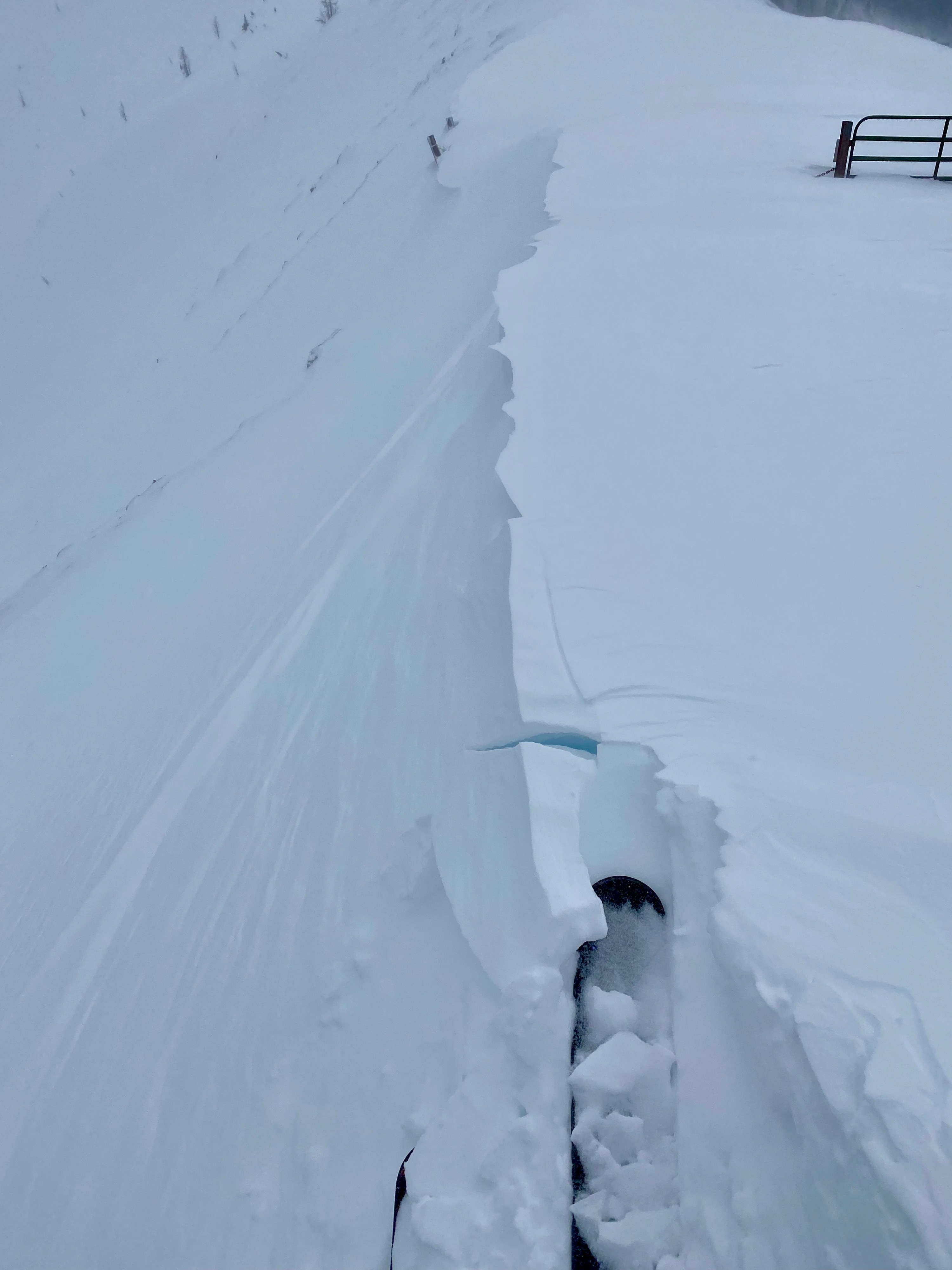
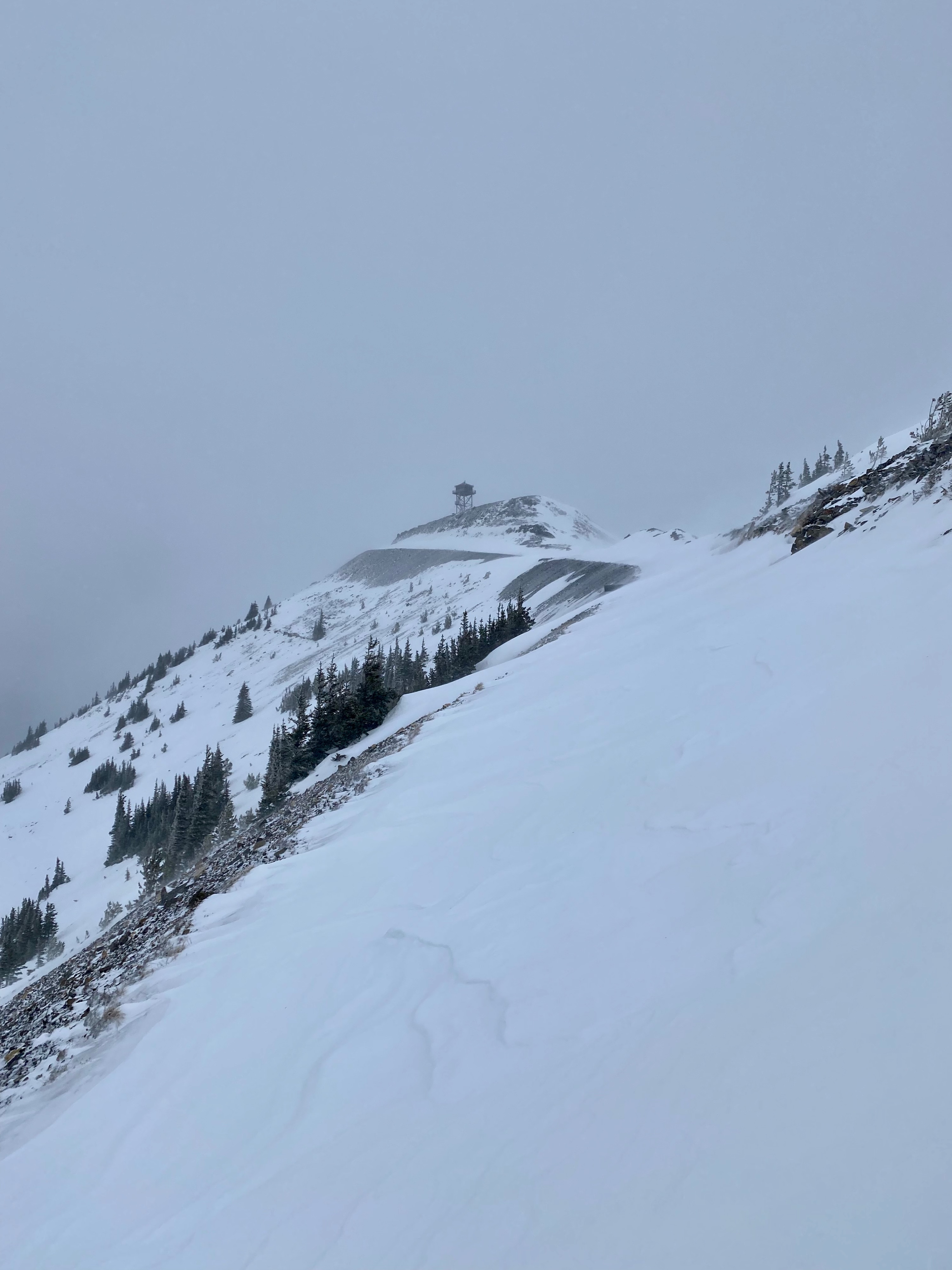
Small D1 wind slabs were seen building above 6500'.
Weather
- Air Temp
- 24
- Cloud Cover
- overcast
- Wind Loading
- moderate
- Recent Snowfall
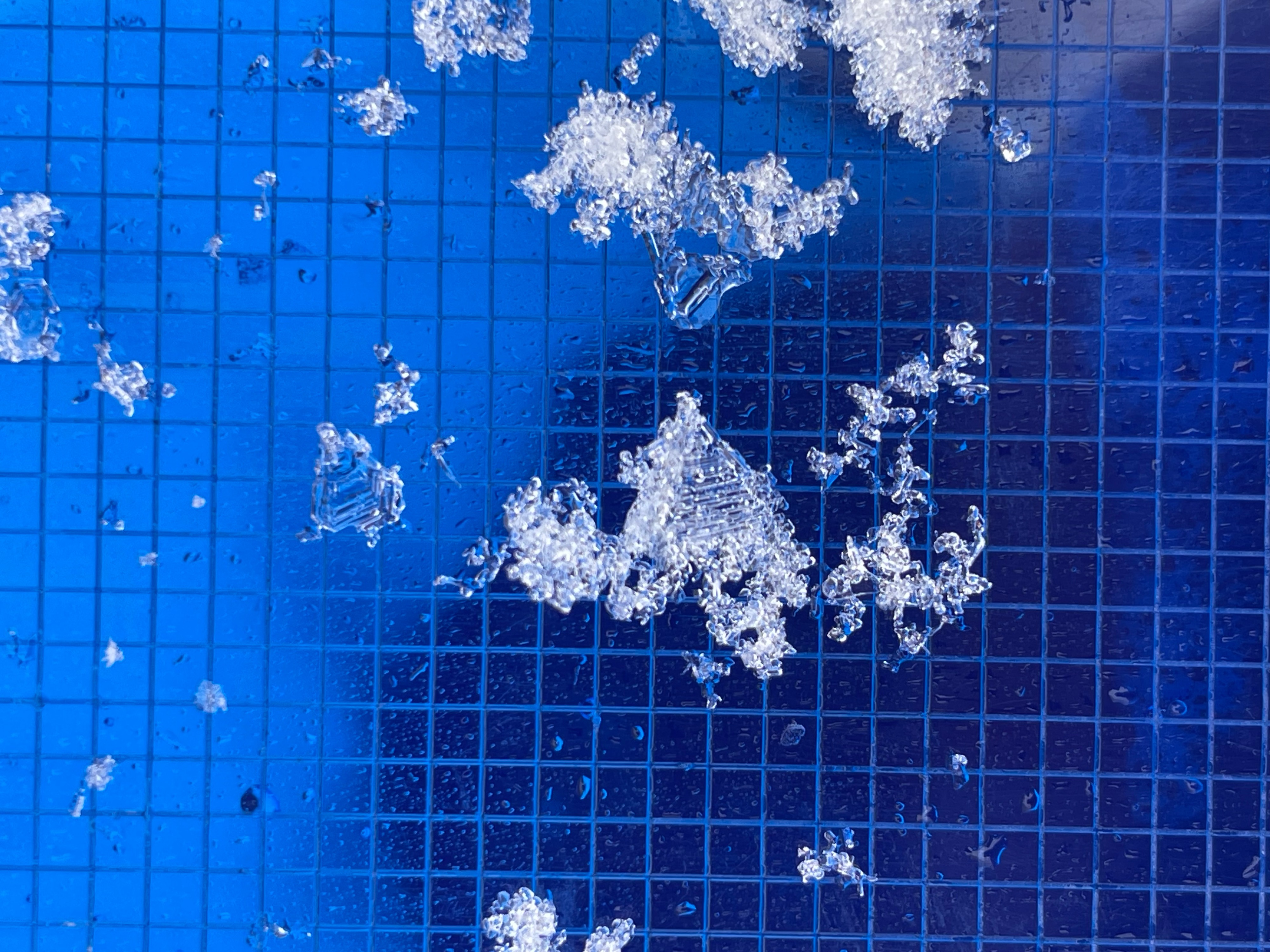
- 10
- Snow Avail For Transport
- moderate amounts
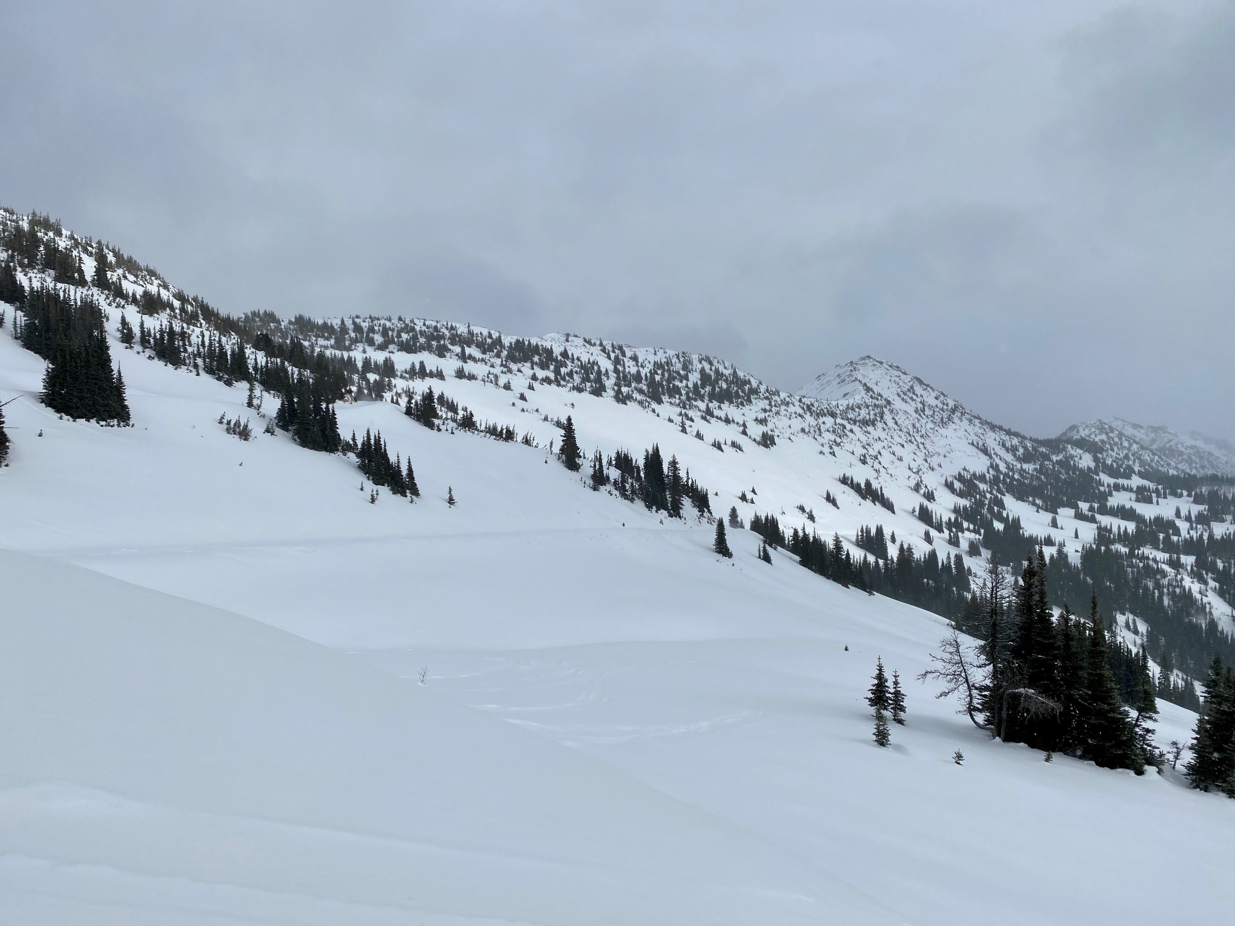
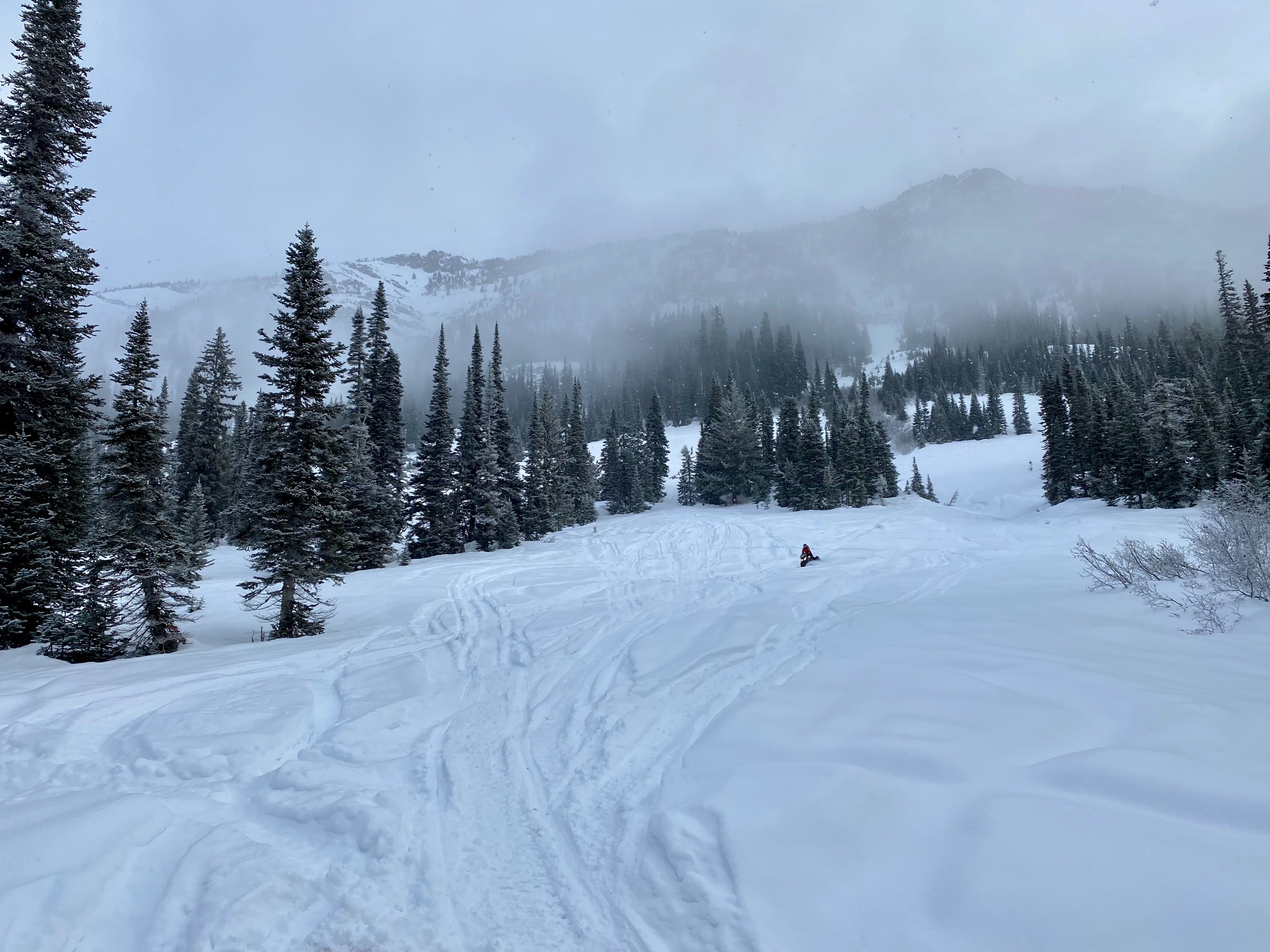
Calm conditions with light snowfall from the valley floor to Harts Pass. The sun nearly made an appearance mid morning. By noon skies became overcast with moderate to strong winds and temps near 24 degrees. Near slate peak this was a Southwest wind. https://www.youtube.com/shorts/jNj0wUAUAAo
Snowpack
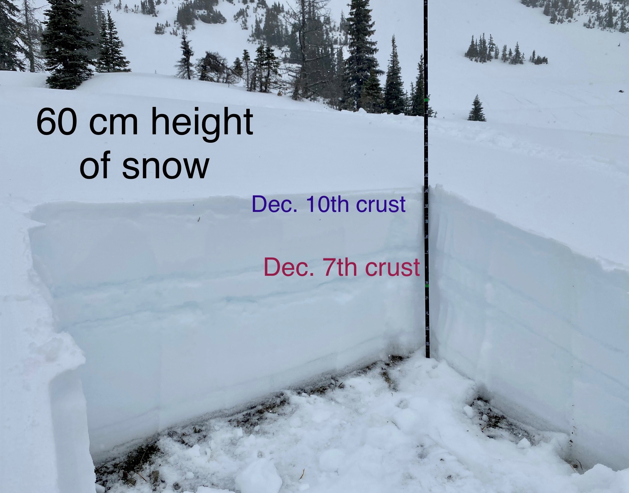
The snowpack near Harts Pass avaergaes around 60-80cm deep. Near ridges, some areas are scoured and other areas closer to 120cm. As predicted, some small wind slabs were building near ridges, although often the winds were strong enough to blow the snow much further down slope.
Below this new snow being blown around there is the thin Dec. 10th crust. At elevations below 6000' the crust is more substatial. Higher up and with the help of some shade the crust can be barely noticable. In meadows and more sheltered slopes as high as 6400' there is some rhimed burried surface hoar below this crust. Closer to ridges and wind effect this surface hoar was not found.
Further down in the middle of the snowpack there is the substatial 15cm thick Dec. 7th crust.
The lower snowpack had undergone some faceting especially just below the Dec. 7th crust, but the recent warm temps seem to have slowed this process.
No signs of a current instability were observed in the midde or lower snowapck. In hand shears and shovel shears the snow below both the Dec. 10th and Dec. 7th crust would fail with moderate force.