
Quick report
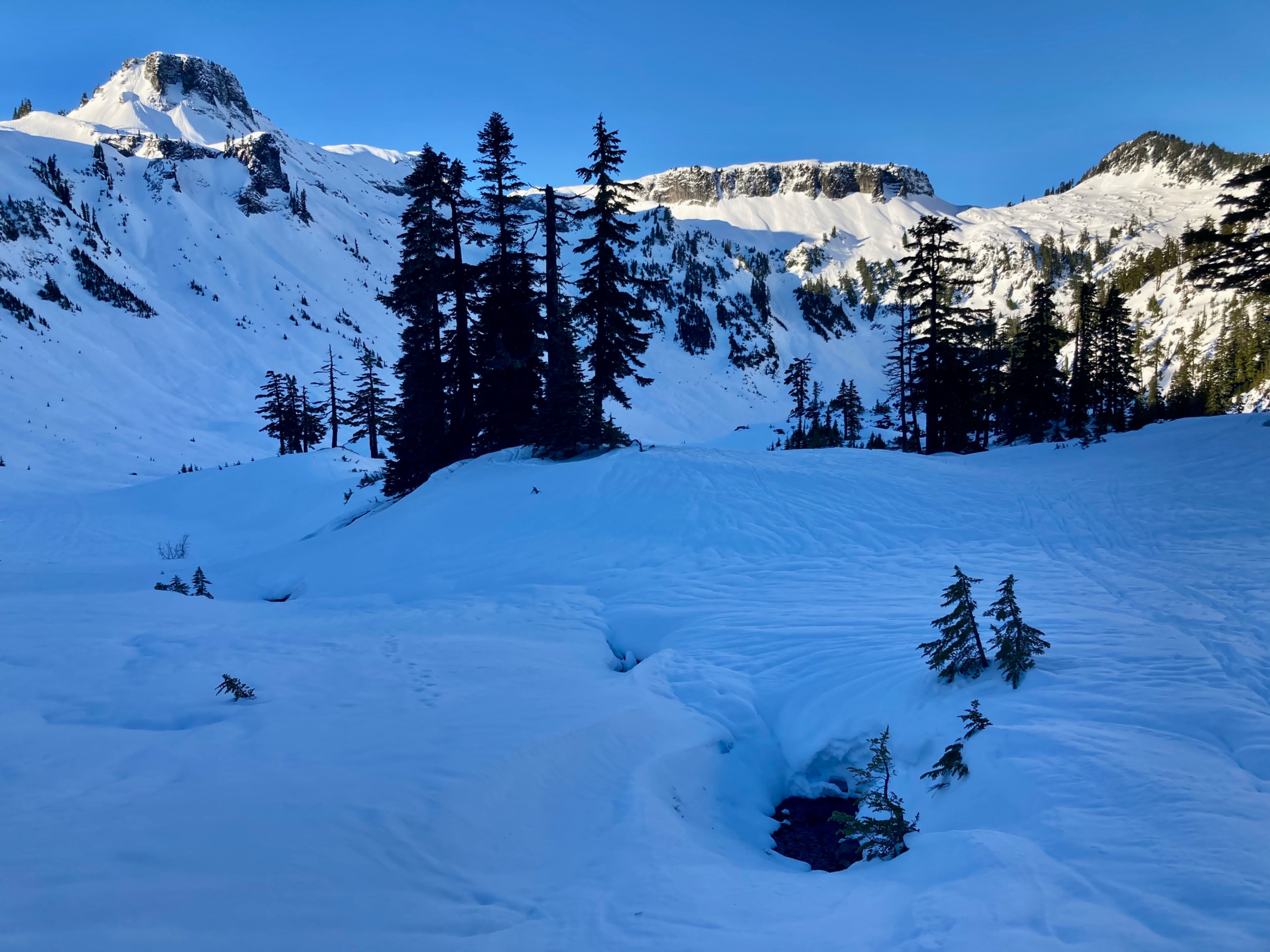
Downhill travel was challenging with a partially breakable crust, and most surfaces being textured by either wind or runnels. I wasn't concerned about avalanche danger anywhere I traveled.
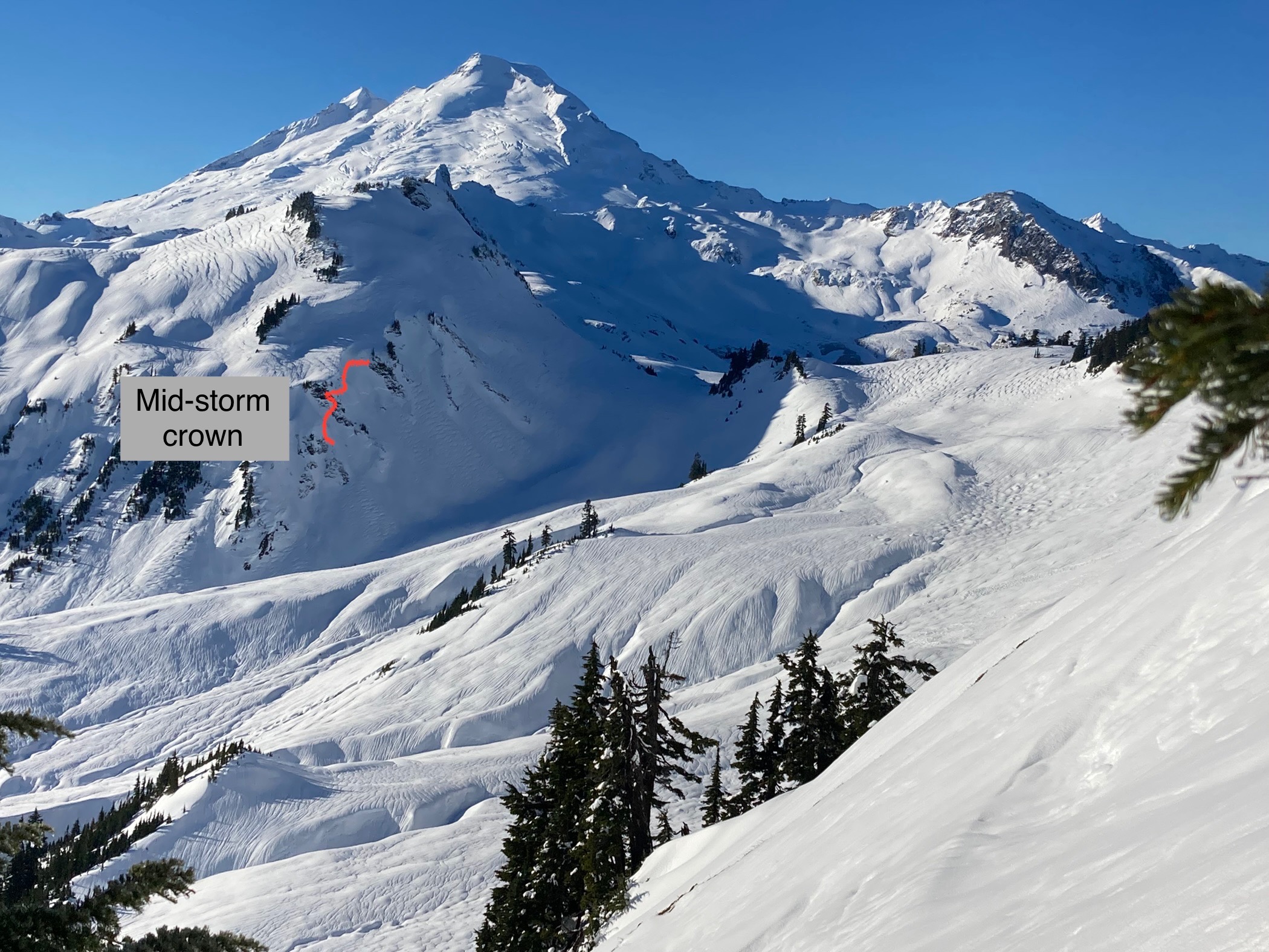
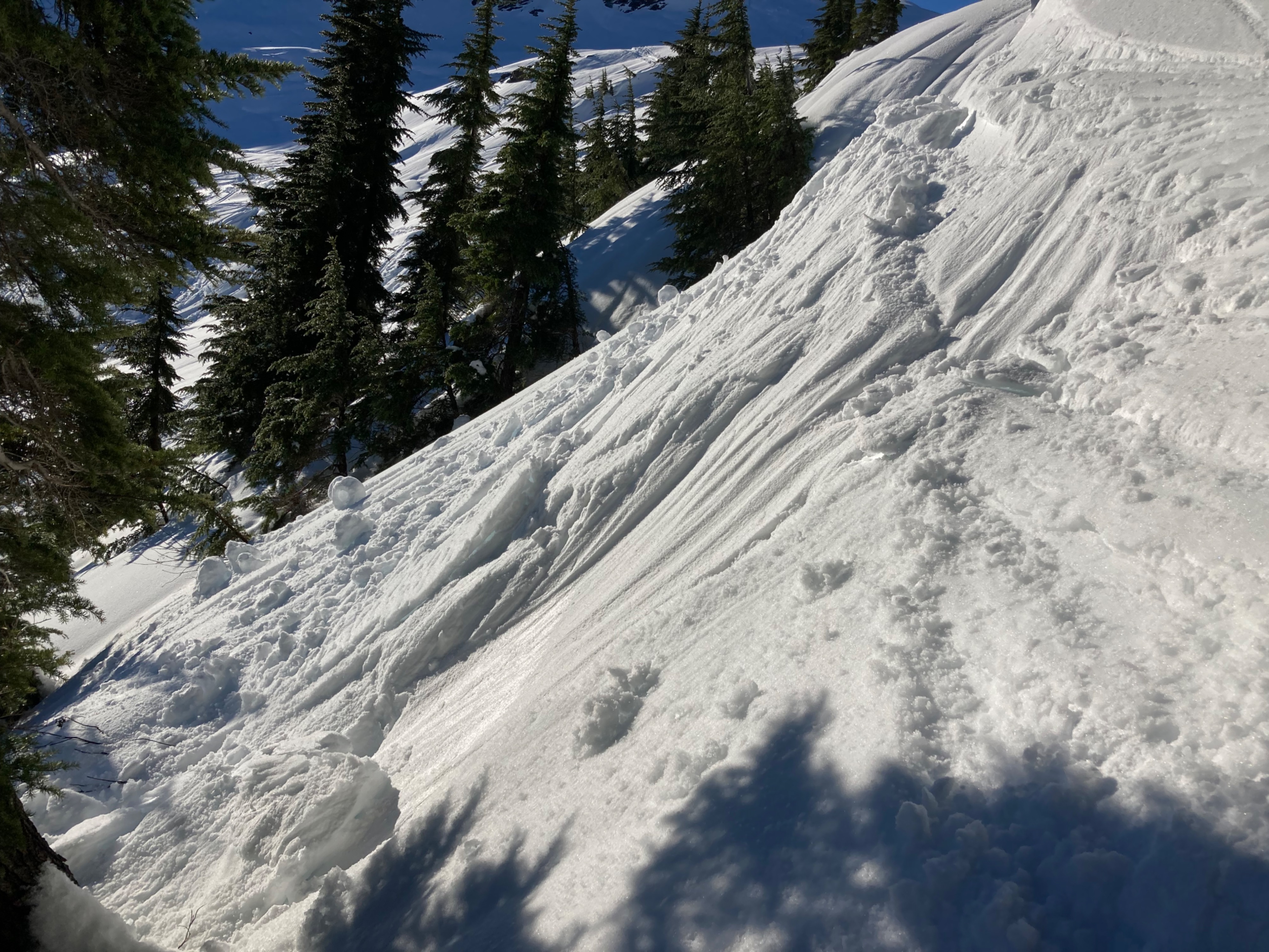
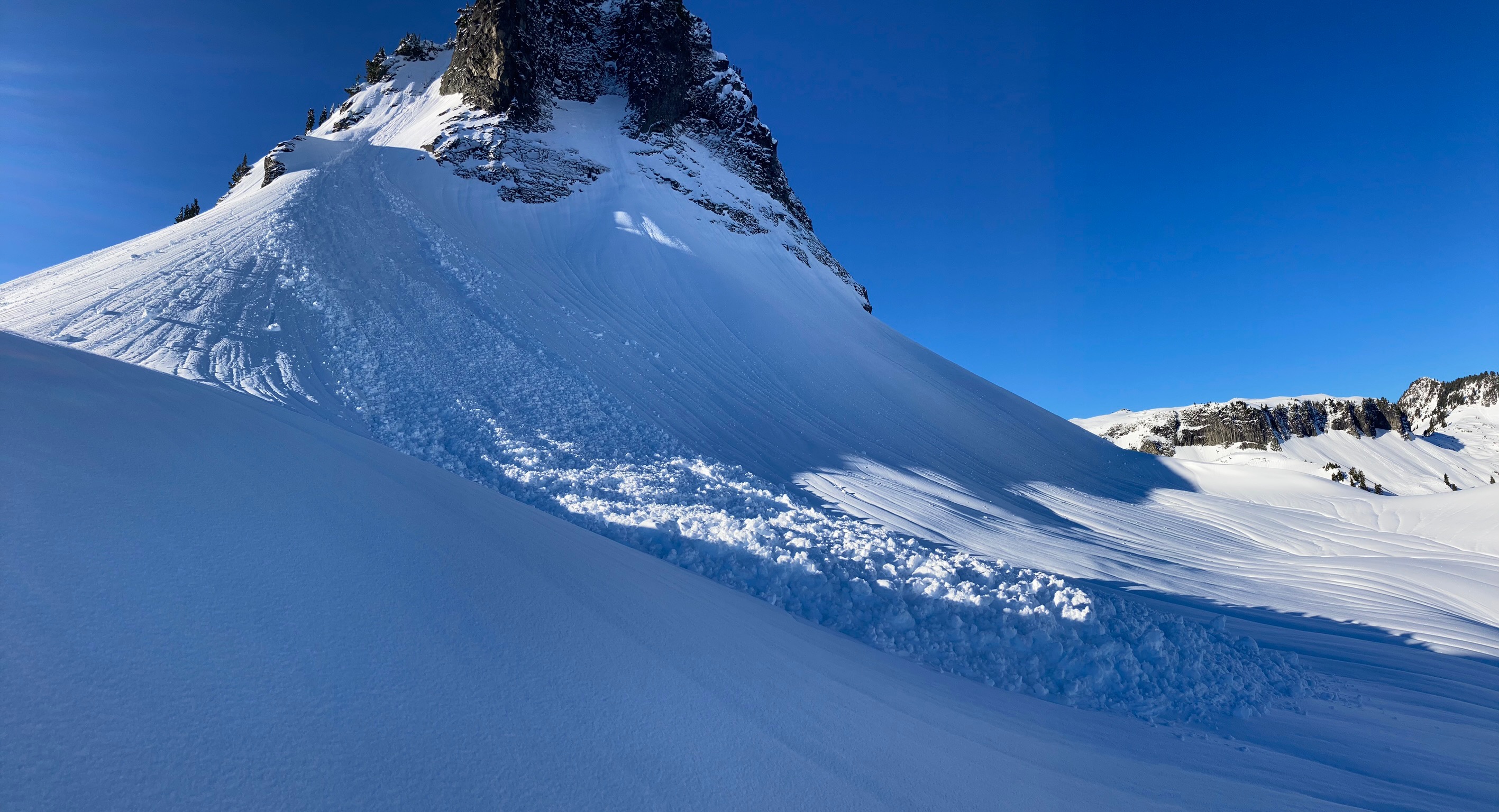
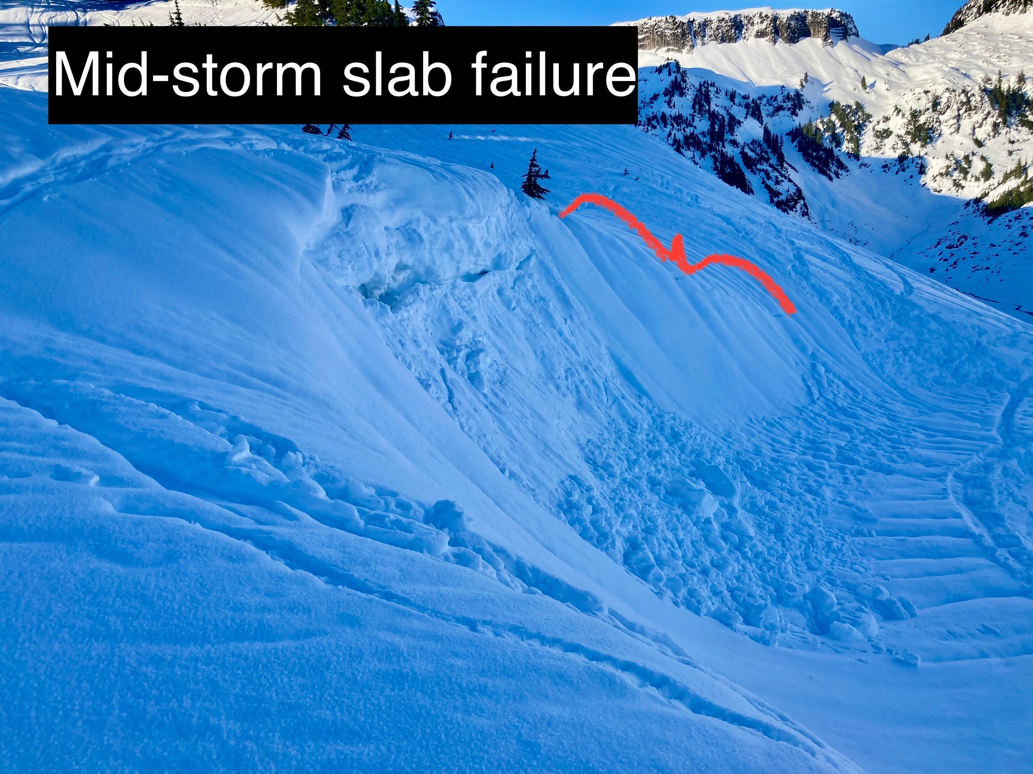
Two mid-storm slab avalanche crowns were visible, partially filled in. One was miniature- less than a D.5. A few wet loose avalanches D.5-1.5 occurred early Sunday morning during the rain. The snowpack has since locked up. Steep south-facing slopes were the only surfaces that softened at all during the day. As they'd already been drenched and froze before softening again, avalanche activity was very small and unimpressive.Weather
- Cloud Cover
- clear
- Wind Loading
- previous
- Snow Avail For Transport
- none
Clear overnight skies contributed to extensive long-wave losses and refrozen previously wet snow surface. Hot in the sun on steep south-facing slopes while chilly in the shade. No snow is available for transport, as surfaces are all a crust. Unknown rainline elevation. Far above 5200'. Suspected 6500ft or higher.
Snowpack
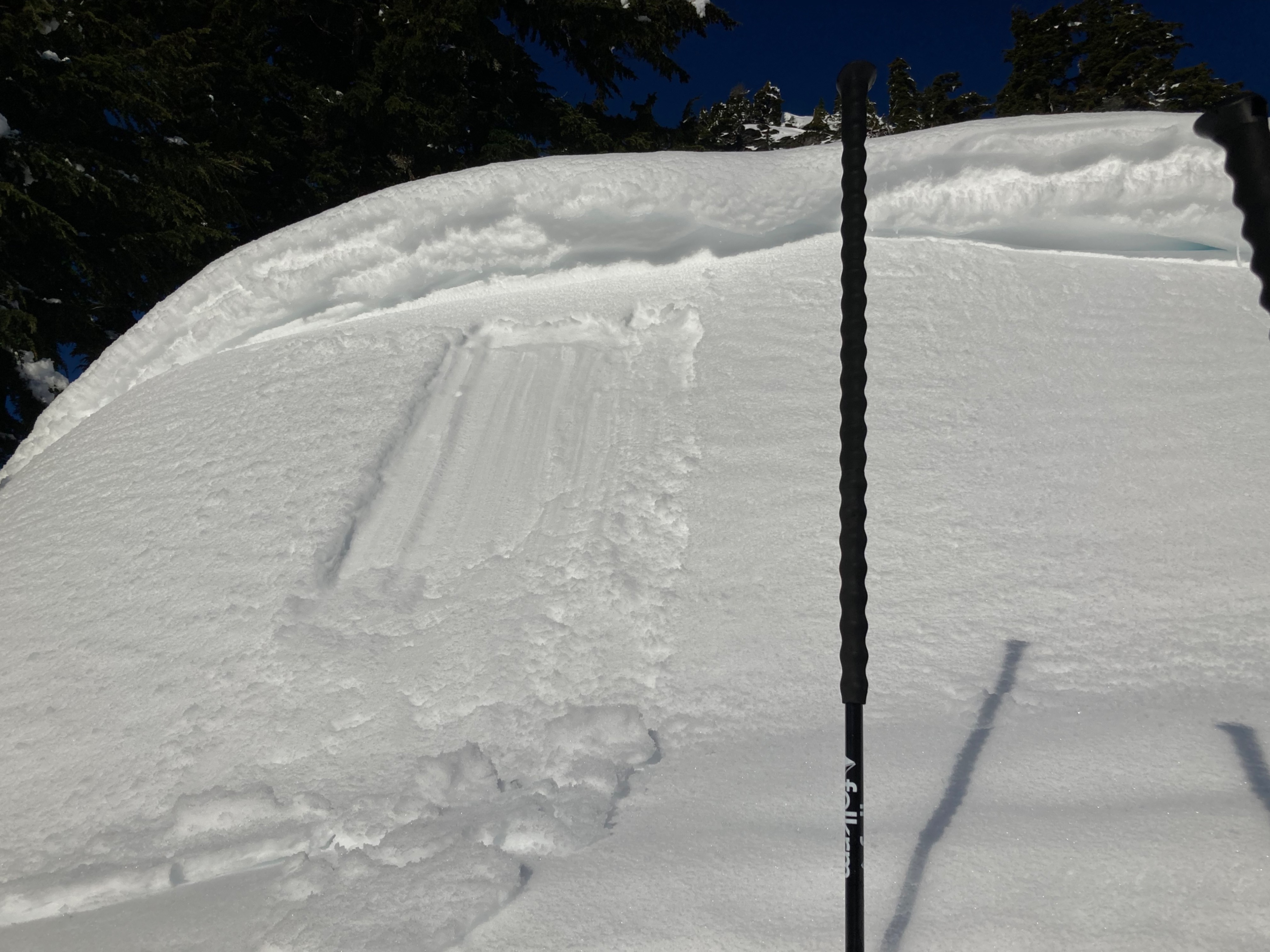
A breakable surface crust was found everywhere I traveled, from 7cm at 4200ft to 5cm at 5200ft. Beneath the crust snow was moist and about 1 finger hardness. The storm snow layer averaged 1- 2' thick. A crust and subsequent moist rounded grains and melt forms (crusts) were present to the ground. These layers were all harder than 1 finger.
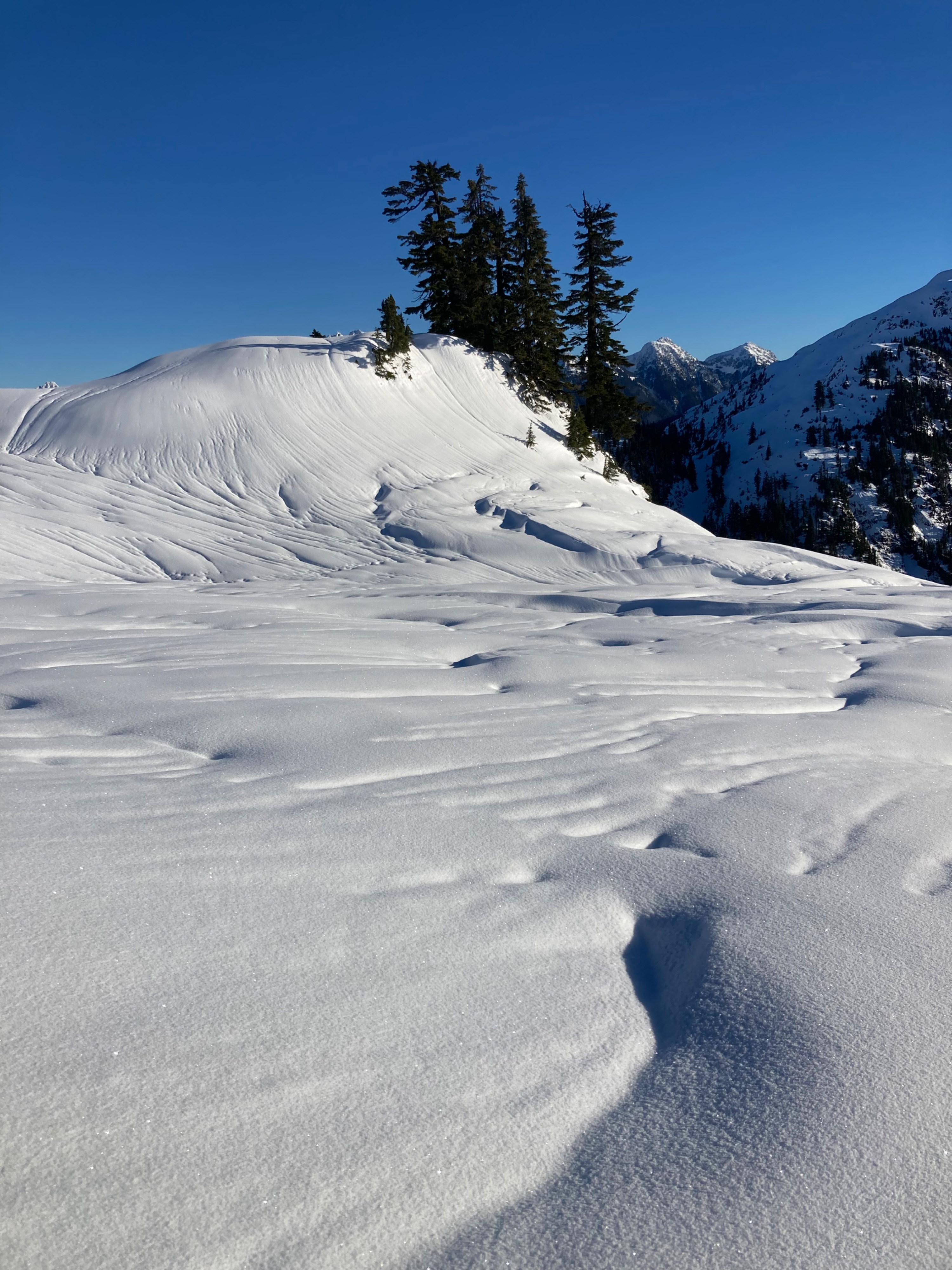
Rain runnels are present on almost all surfaces at mid and lower elevations. Nearly all upper and mid elevations that don't have runnels show extensive previously wind-transported snow. Impressive patterned surfaces and runnels are visible in the Baker photo in the media gallery.