
Quick report
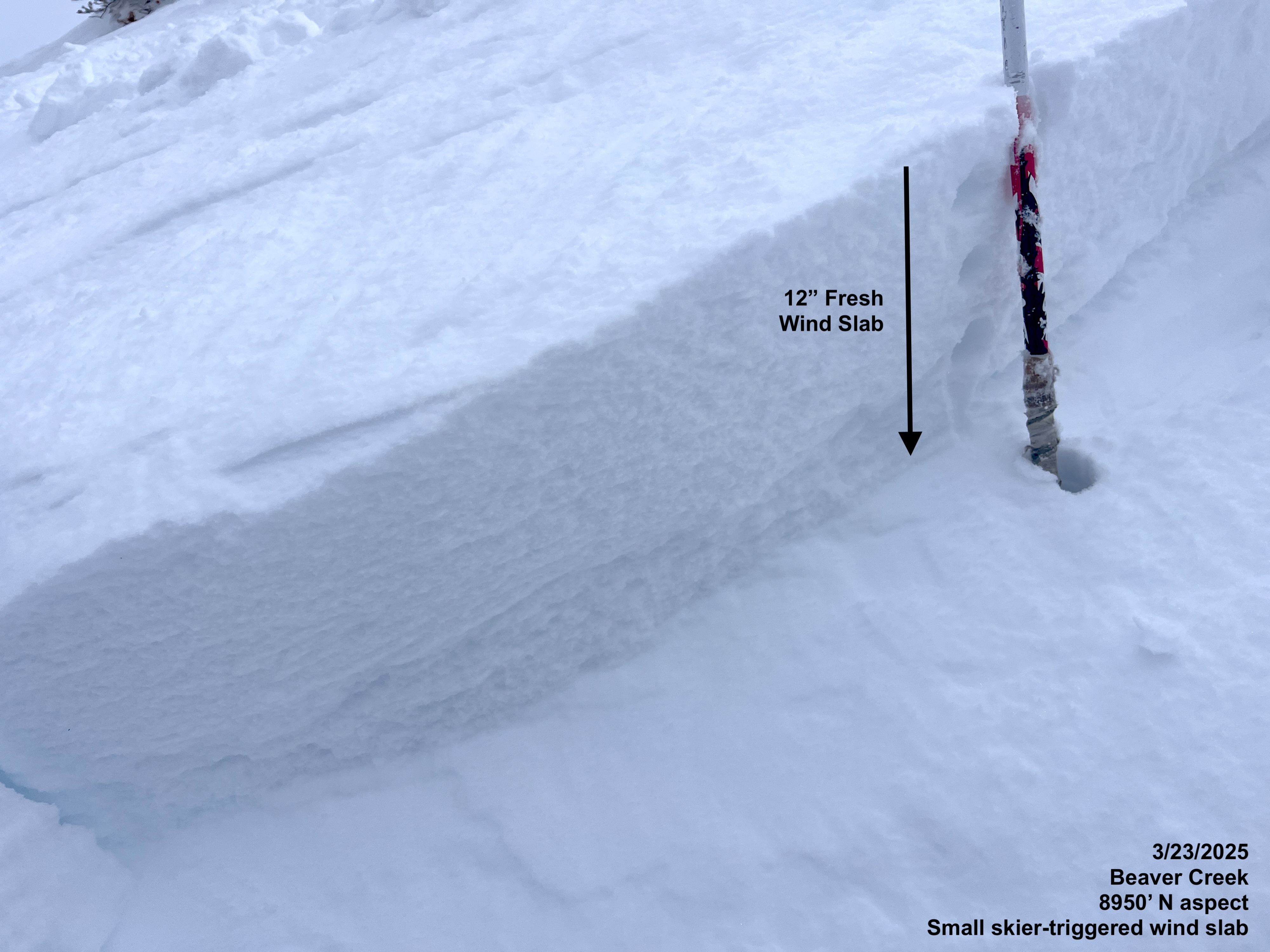
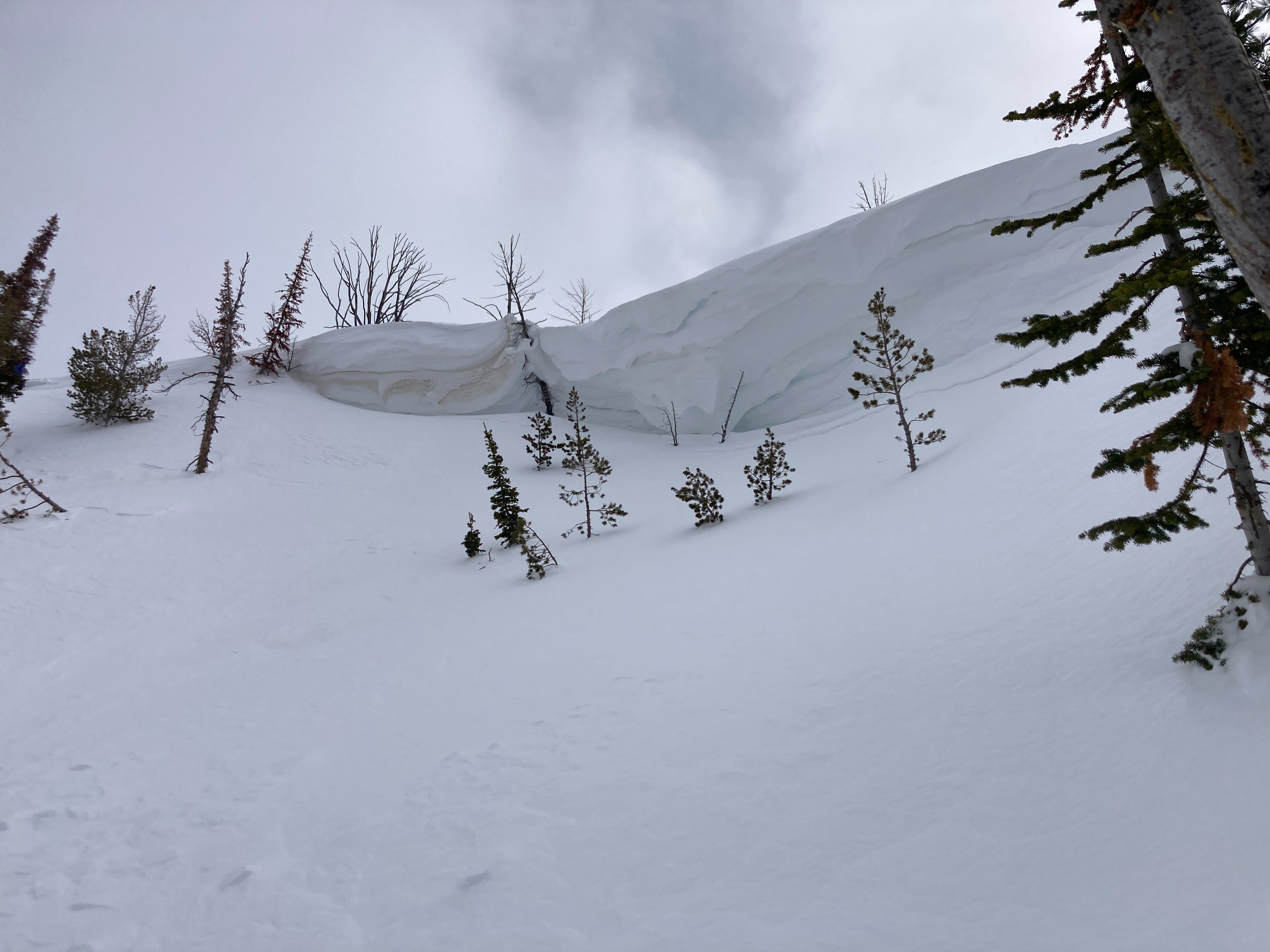
Warm temperatures, calm to light winds and overcast skies made for a damp feeling day in Beaver Creek. Snow surfaces softened and moistened in locations where there wasn't wind below 8000 feet by early afternoon. Recent strong winds loaded many slopes at mid-elevations and stripped the snow surface on open W and NW slopes. The surface snow is settling quickly, but we were still able to trigger a small wind-slab pocket on a cross-loaded mid-elevation N slope.
We intentionaly triggered one very small wind slab pocket on a north facing cross-loaded slope at 8950'.Weather
- Air Temp
- 35
- Cloud Cover
- overcast
- Wind Loading
- previous
- Rain Elevation
- 6800
- Snow Avail For Transport
- none
Temperatures were warm, and it felt muggy throughout the day, with consistent overcast skies. Light SW winds kept snow surfaces cool above 8000' with active green-housing of the snow surface at lower elevations. Light mixed-form precipitation began at approximately 2pm.
Snowpack
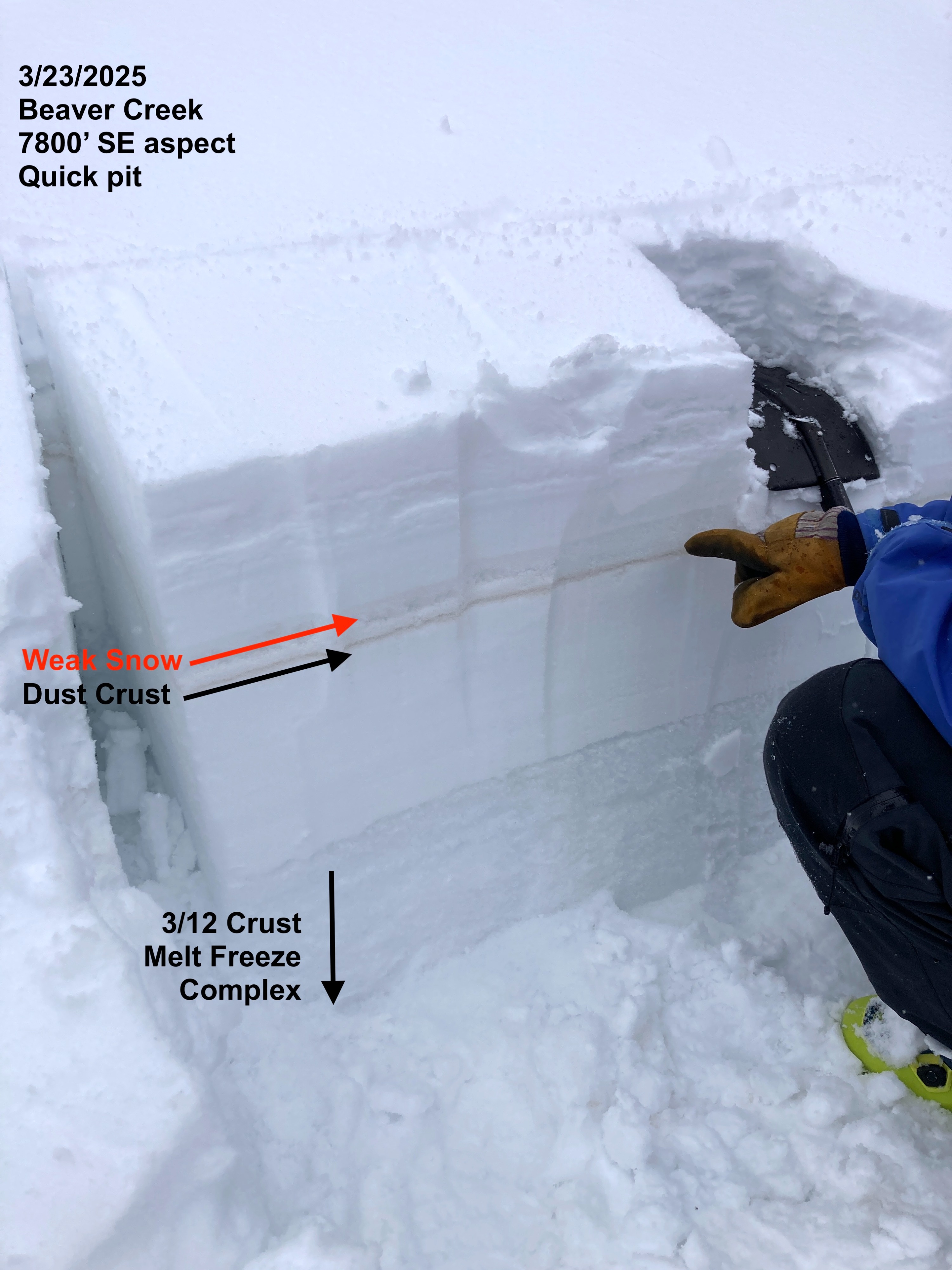
We observed a generally stable snowpack that is actively healing with warm calm conditions. Strong winds over the past couple of days have firmed-up most mid and upper elevation surfaces, making them more resistant to surface warming and wet snow instability. In areas where the snow remained loose and soft, the warm temperatures were actively settling and consolidating the surface snow. The recent dust layer is easy to find and has developed a crust around it on solar aspects with moist, weak snow just above it. On northerlies, we found a layer of graupel just above the dust layer. This graupel is what our intentionally-triggered avalanche failed on and resulted in ECTN13 test scores (12 inches/30cm below the surface).
Avalanche
We intentionally triggered one small wind slab on a north facing cross-loaded slope at 8950'. We also observed isolated natural wet loose activity below 8000' in the immediate vicinity of rocks, cliffs or tree-bombs.