
Quick report
- Collapsing
- Observed
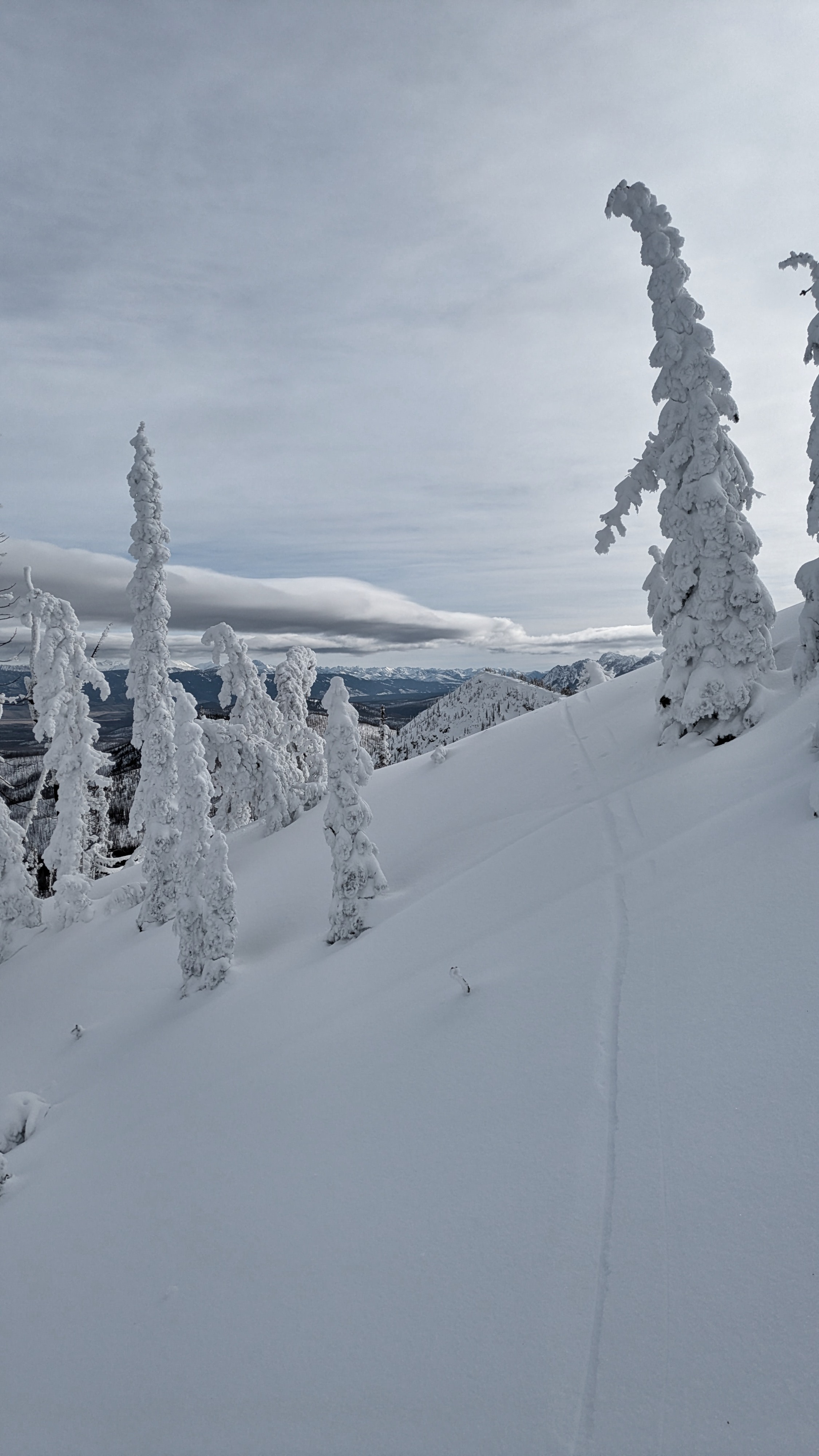
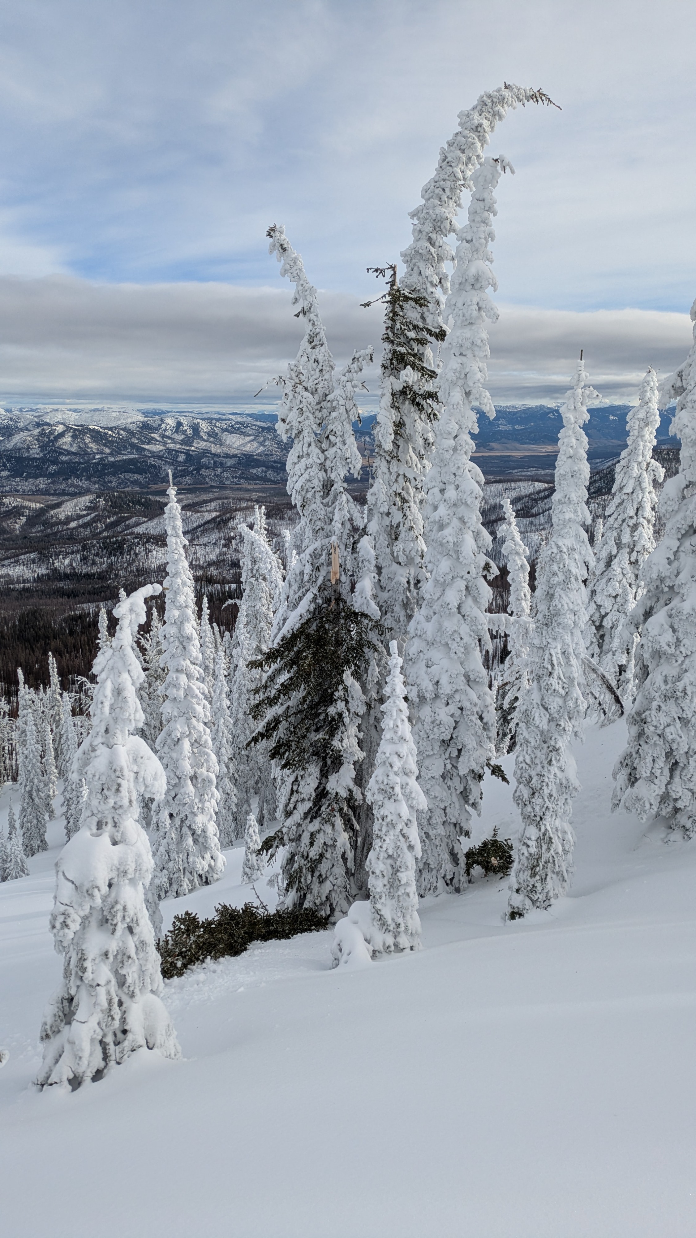
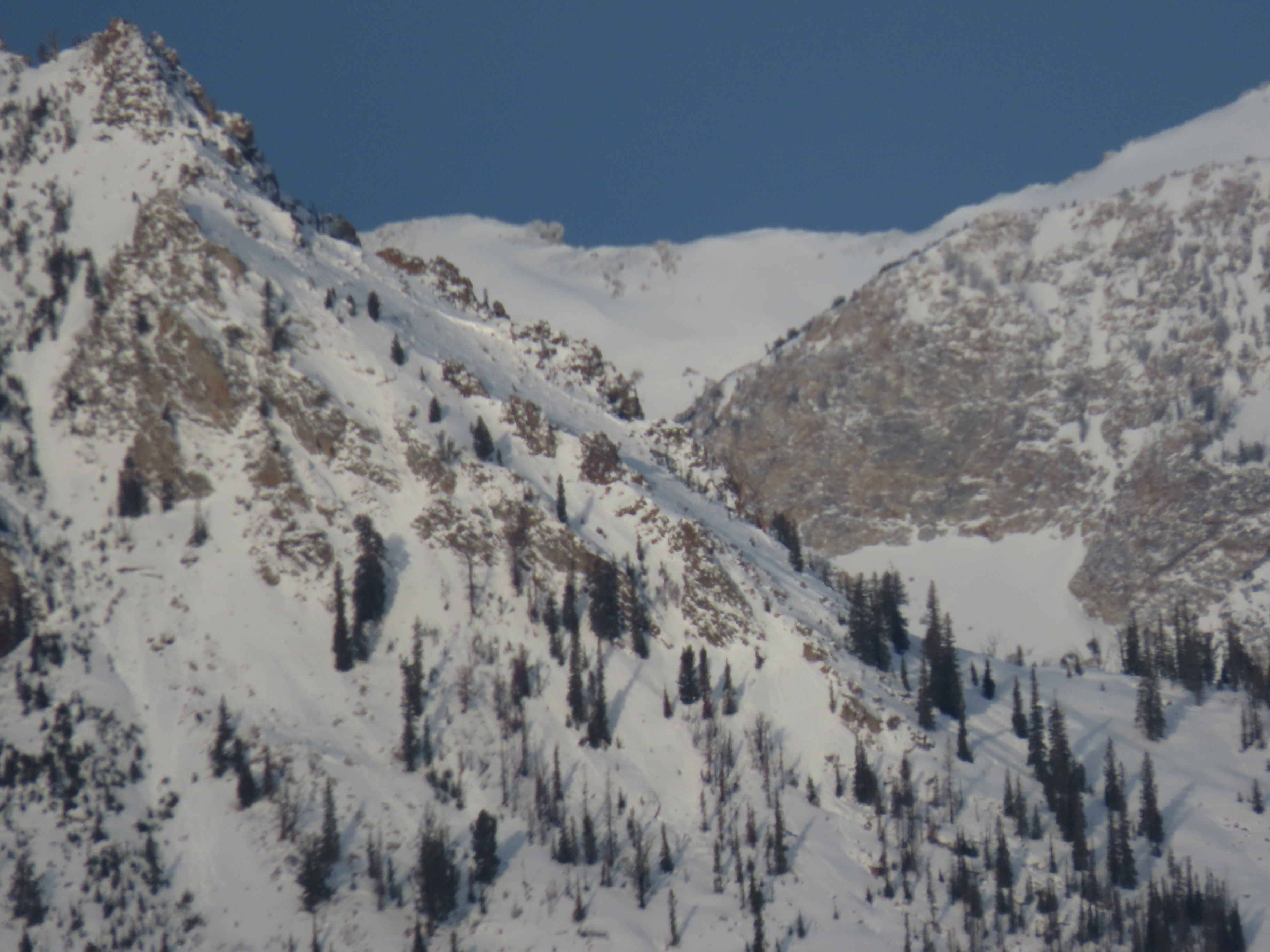
I'm adding 53 avalanches (almost all size D2 or larger) to the avalanche database in this observation. I'm continuing to observe evidence of the impressive avalanche cycles that occurred in the Sawtooths and Banner Summit Area beginning this past weekend. Quite an array of avalanches, some of the densest concentration of slides I've observed in these mountains in my time here. Reminiscent of the 2018-19 December persistent slab cycle but with thinner crowns/less volume in starting zones. Coastal vibrations out there! It had rained multiple times, all the way to the top of Copper. There were rime accumulations of up to 18" up high, and a bunch of rain water had been pushed into the rime. I found a number of trees that snapped as the rime/rain accumulated on them (photo below). Ski conditions are...a little tough. I've definitely skied significantly worse though. Good coverage for travel remains on shaded aspects beginning at highway level. Snow at highway level was still warm and moist at the start of my tour, with a semi-supportable surface crust. This crust broke down quickly, even without direct sunshine (ambient radiation was enough). A minor wet snow problem was beginning to rear its head when I left the field in the early afternoon. I think you could have pushed small, gouging wet loose slides on steep slopes. The snowpack still had a good bit of draining and refreezing to do. I experienced a few loud but localized collapses, starting around 8,200'. On a heavily wind loaded slope at 8,800', one of these was larger and it made an impressive velcro tearing sound as the rain crusts in the upper snowpack were ripped apart. Neat.
Weather
Thin layer of high clouds. Moderate to strong westerly winds with no soft snow to transport.
Snowpack
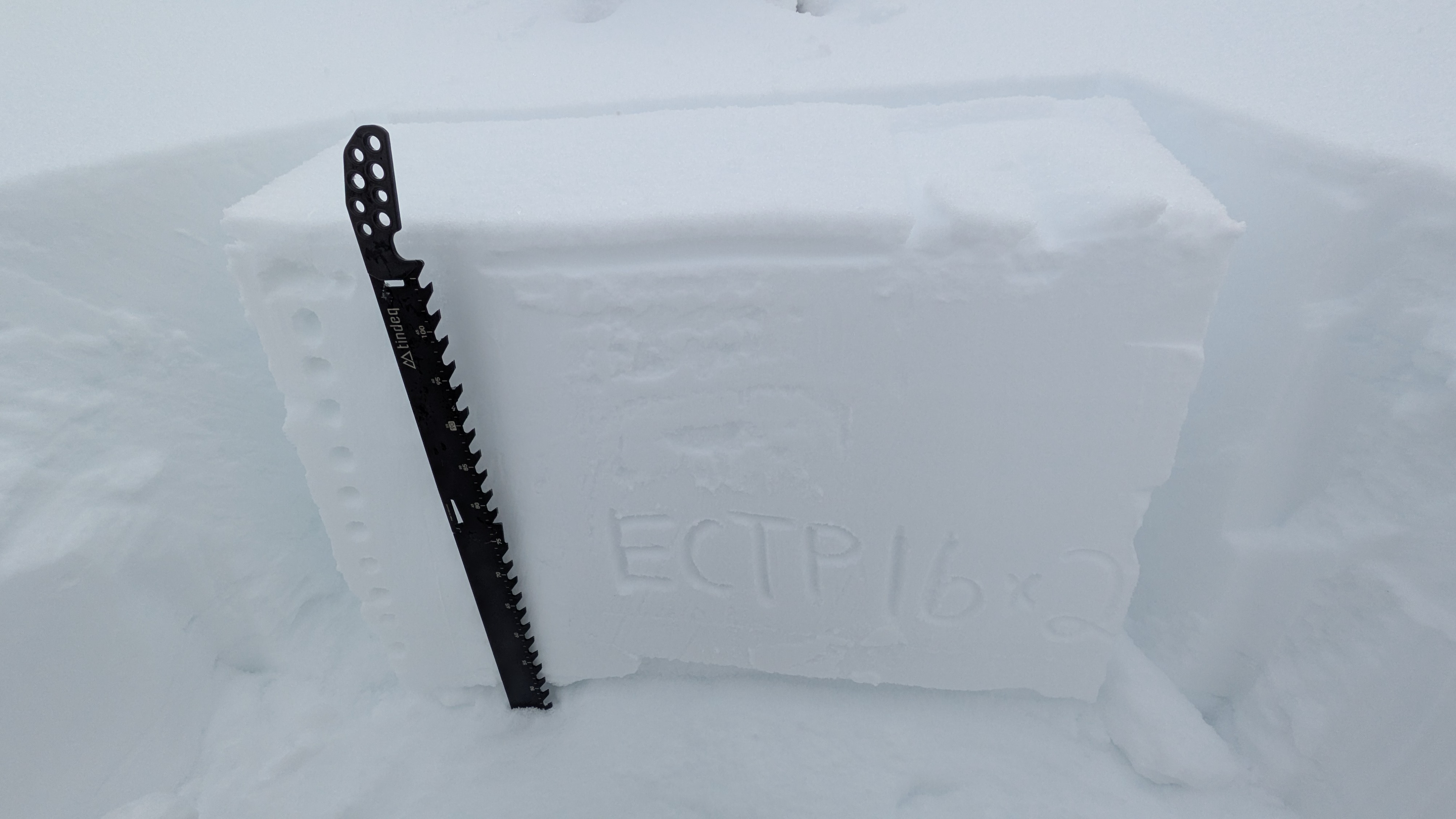
The facets that developed at and above the mid-November drought/rain crust are the primary layer of concern. This layer produced an impressive array of avalanche activity. This layer is approaching 2 feet deep here now. Continued collapsing on this layer and unstable snowpack test scores were observed today. The new rain crusts will be another good indicator layer in the snowpack when snowfall returns. Note, in places rain and snow were alternating and there are multiple rain crusts in the upper 6 inches of the snowpack. There is already a lot of faceting going on under the uppermost crust, the current snow surface is likely to be our next weak layer.
Avalanche
- Size
- D3
- Count
- 31
- Aspect
- NE
- Trigger
- N
- Elevation
- 8800 ft
Adding 53 avalanches to the database. I'm continuing to observe evidence of the impressive avalanche cycles that occurred in the Sawtooths and Banner Summit Area beginning this past weekend. Focus of most recent activity appears to be on 12/9, based on observations during the storm, appearance of crowns and debris, and character of bed surfaces. There was also a cycle on 12/6, most of the evidence of this cycle has been well masked by subsequent snow. Wow, populating the avalanche database during such widespread cycles takes a ton of time!