
Quick report
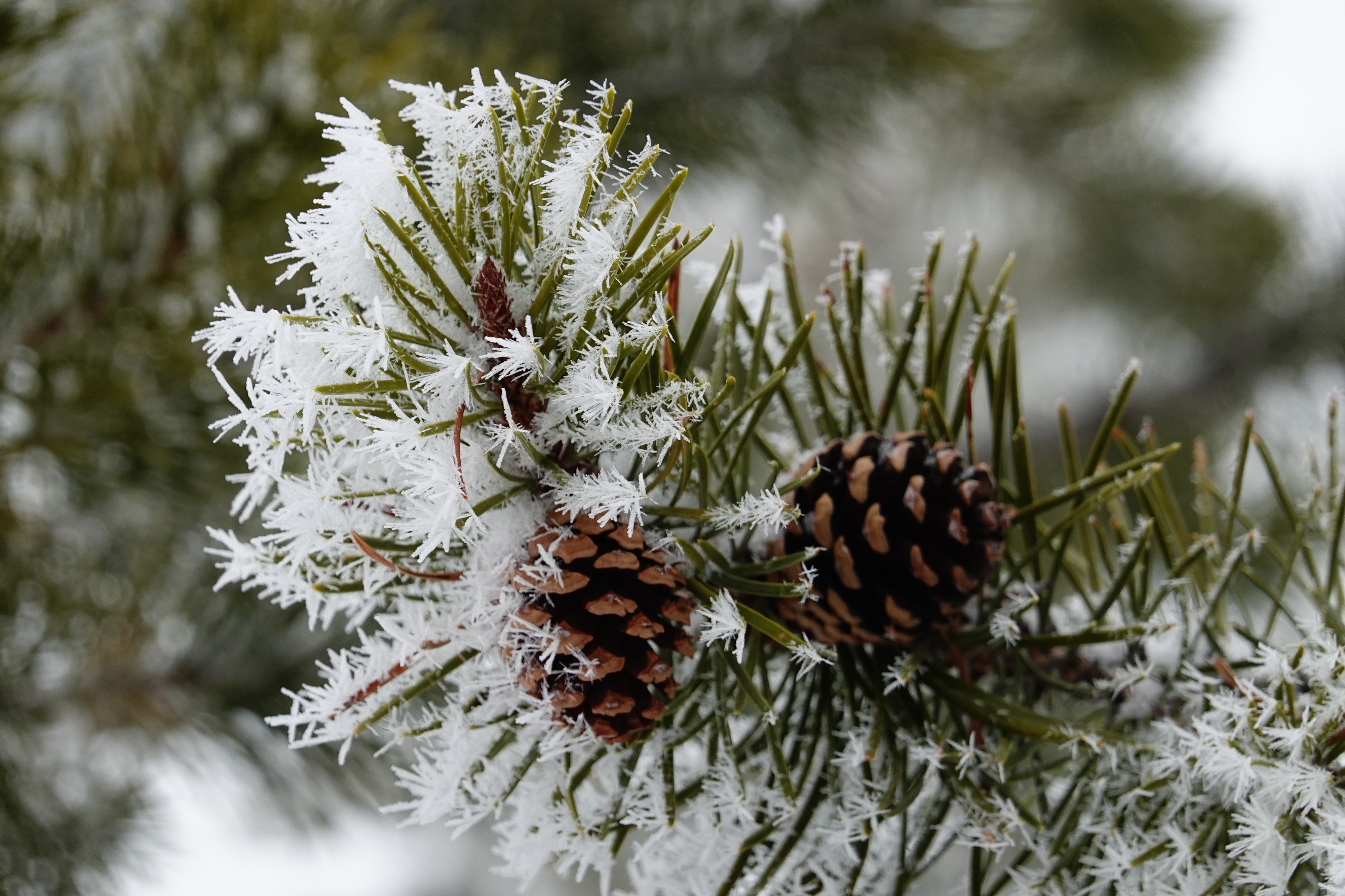
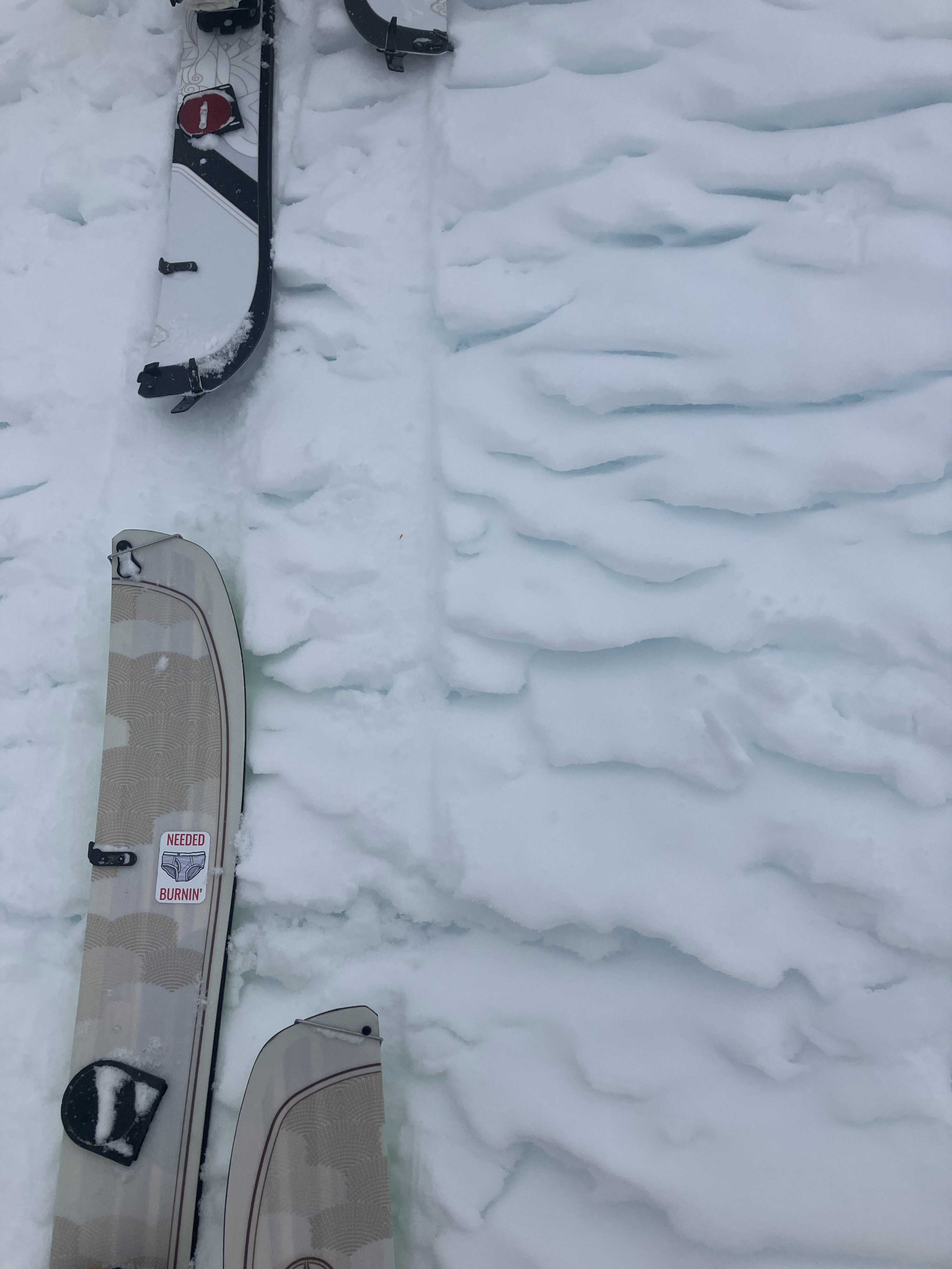
We headed to the far northern end of the forecast area to see the progress of near surface faceting there. We found crusty snow surfaces on sun-facing slopes and sugary, weak surface snow on protected and shaded slopes. There was spotty surface hoar found primarily above 8000' (pictured). Along ridgelines, we found variable crusts, firm wind-packed snow, and interesting mixed process surfaces (pictured below) that made travel slightly more challenging.
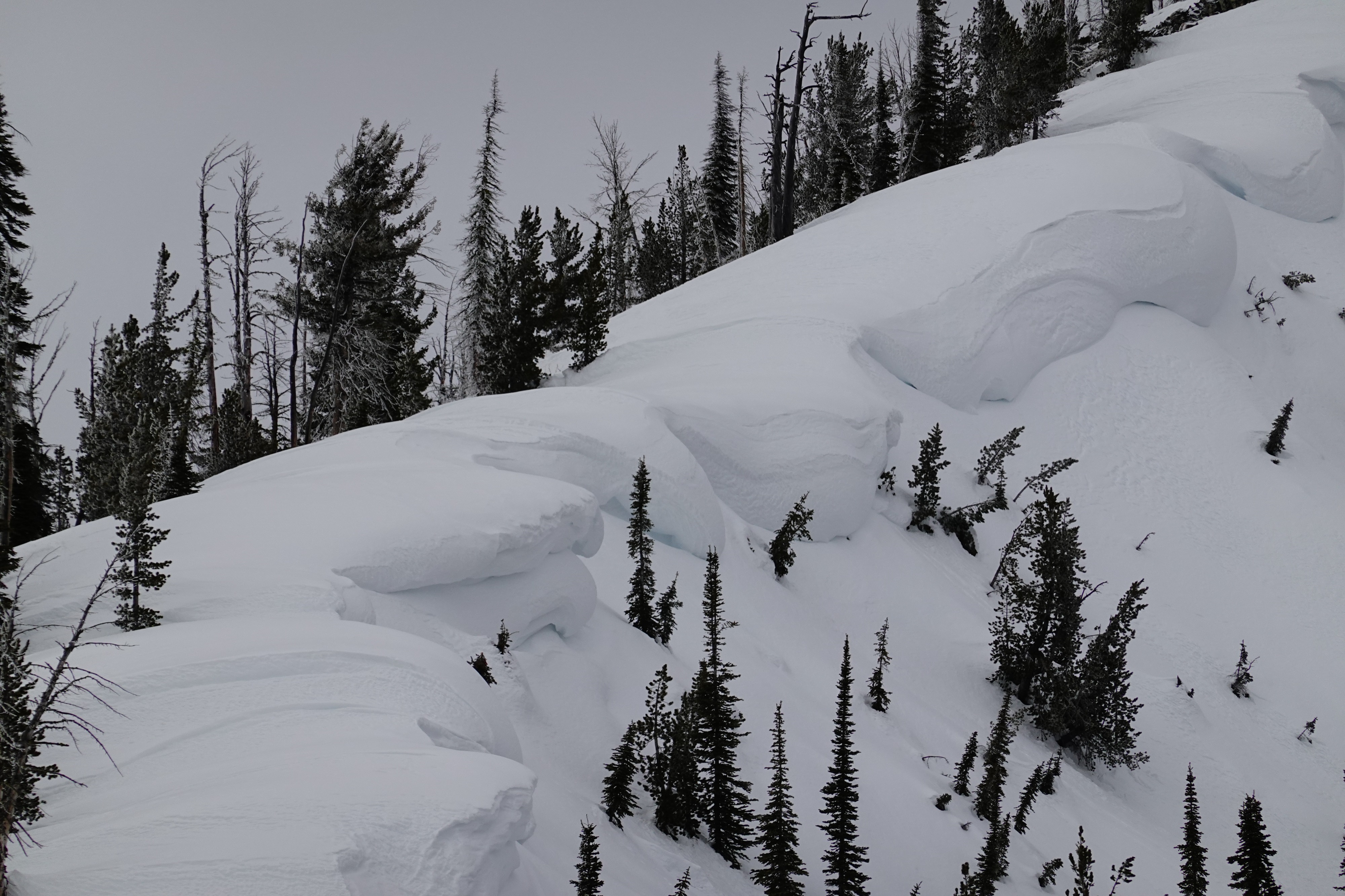
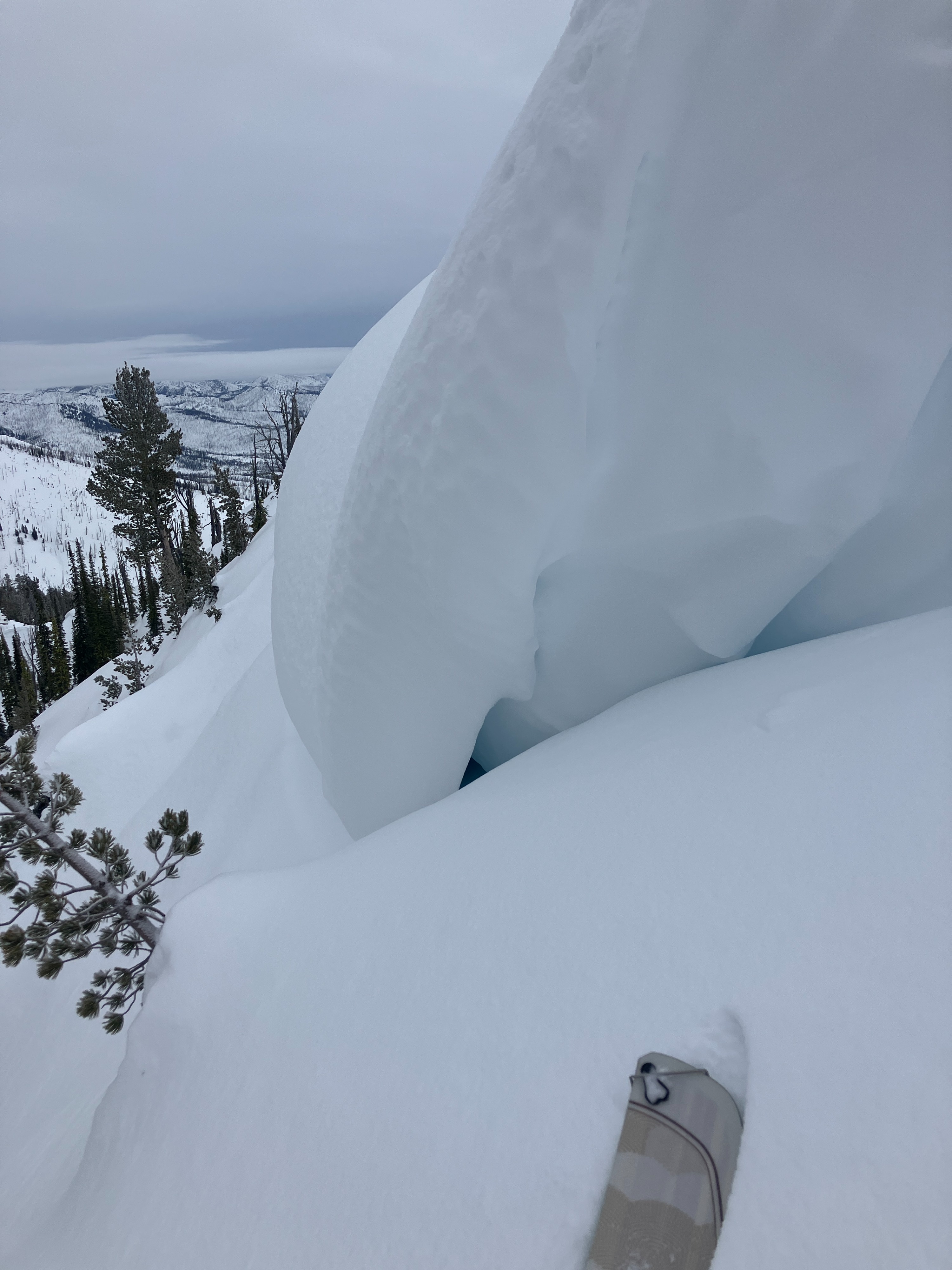
When visibility improved in the afternoon, we observed widespread large cornices lining most ridgelines in the zone (pictured). Although these haven't shown any obvious signs of instability in the last few days, we still gave them a wide berth when traveling along ridgelines.
No obvious signs of instability were observed today.Weather
- Air Temp
- 29
- Cloud Cover
- overcast
- Wind Loading
- none
- Recent Snowfall
- trace to 2
- Snow Avail For Transport
- none
Obscured and walking in a cloud until ~1230pm with light NE winds blowing throughout the day.
Snowpack
Surfaces were primarily either small-grained near surface facets or breakable old sun/melt-freeze crusts. Faceting was observed throughout the upper 50cm (20 in) of the snowpack in very protected northern locations, but most near surface faceting is occurring in the upper 25cm (10 in).