
Quick report
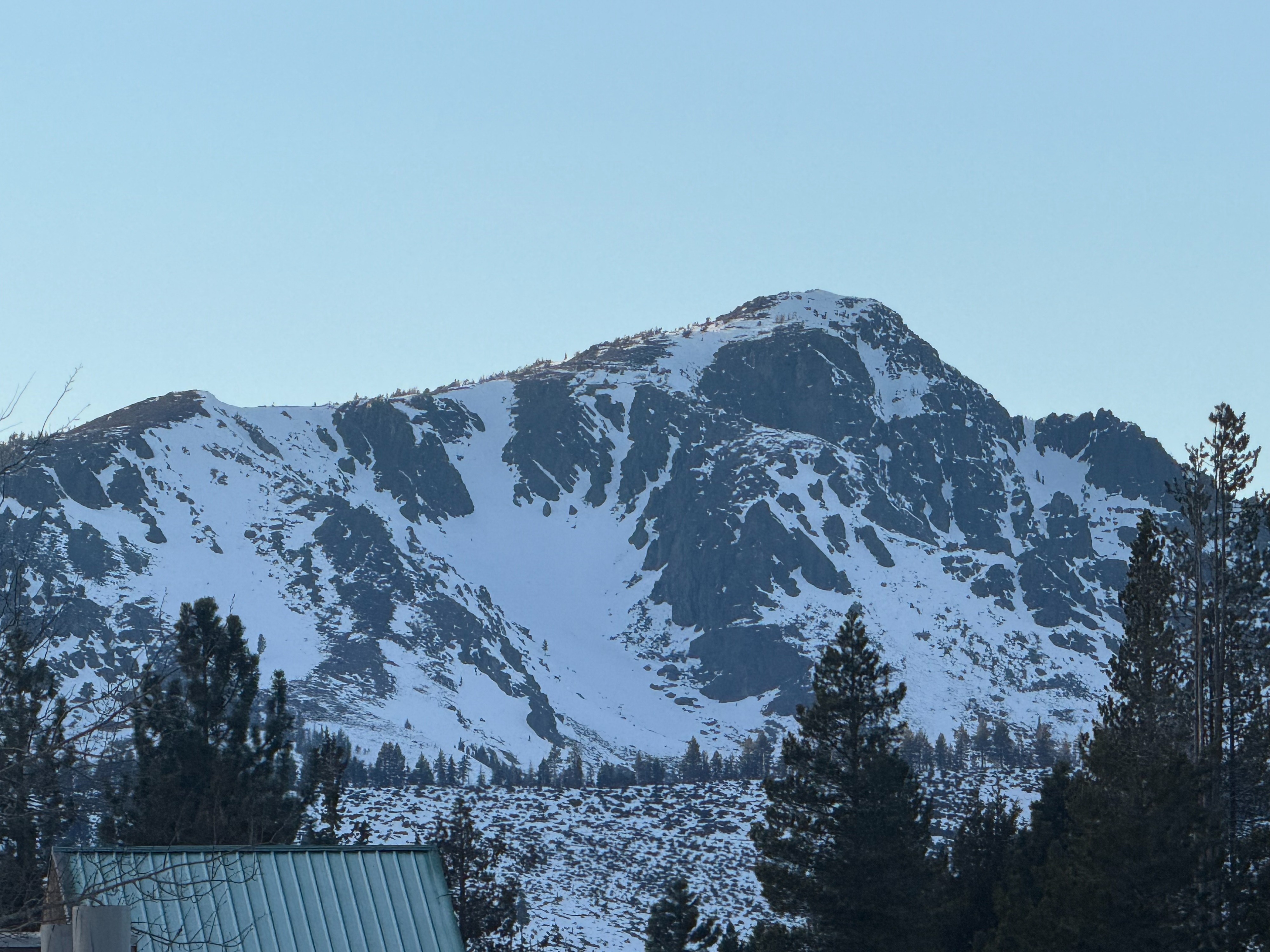
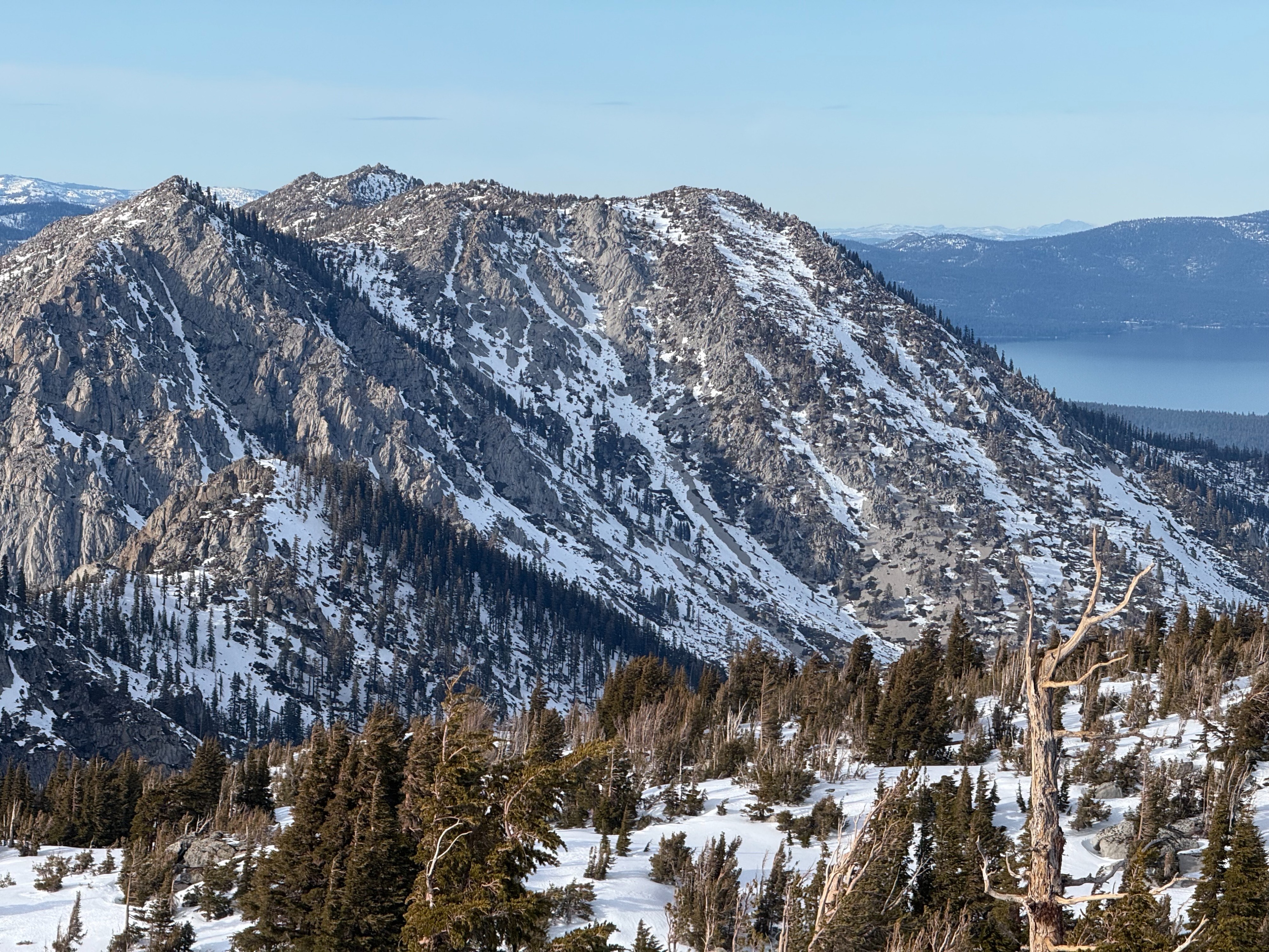
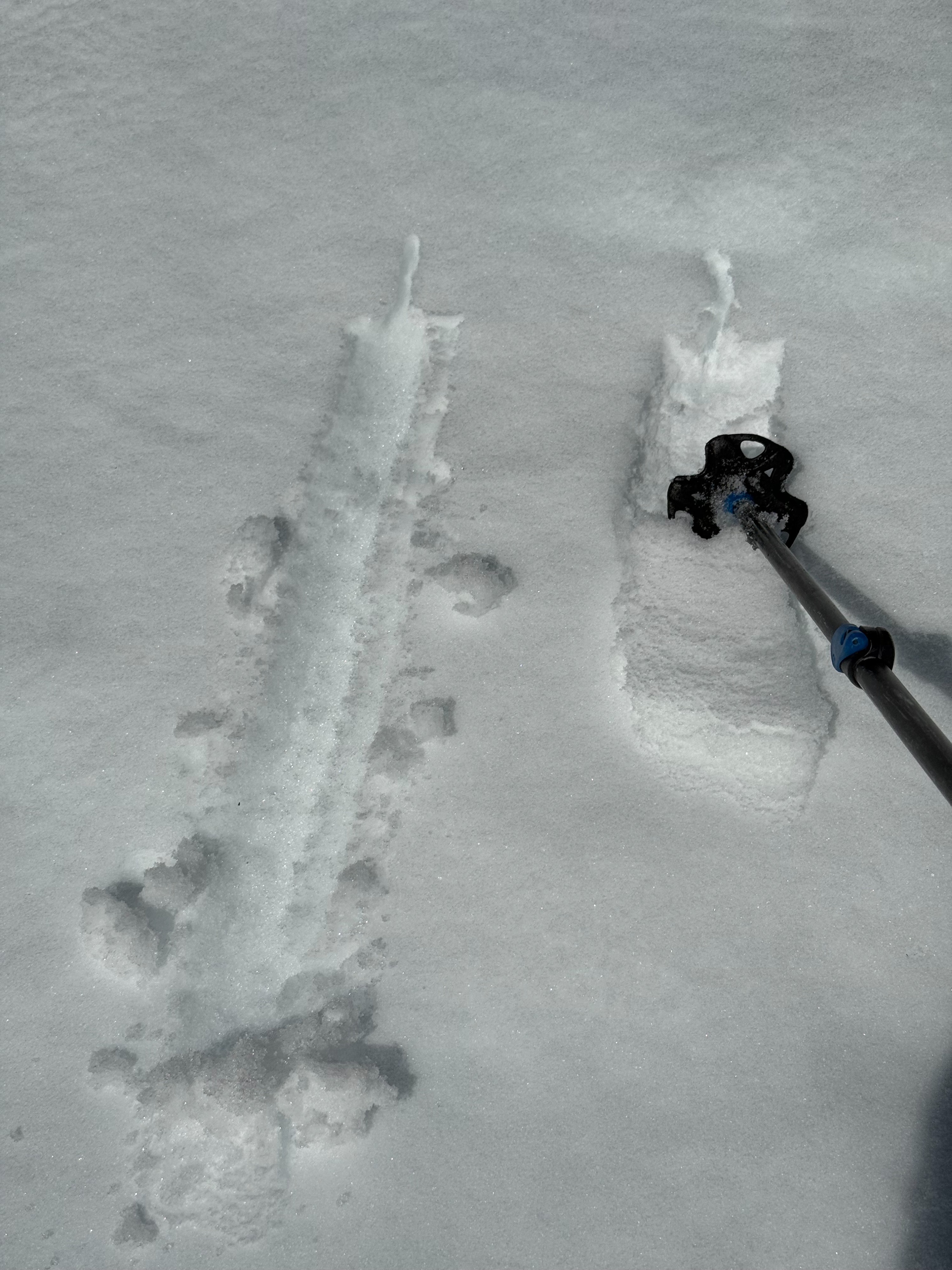
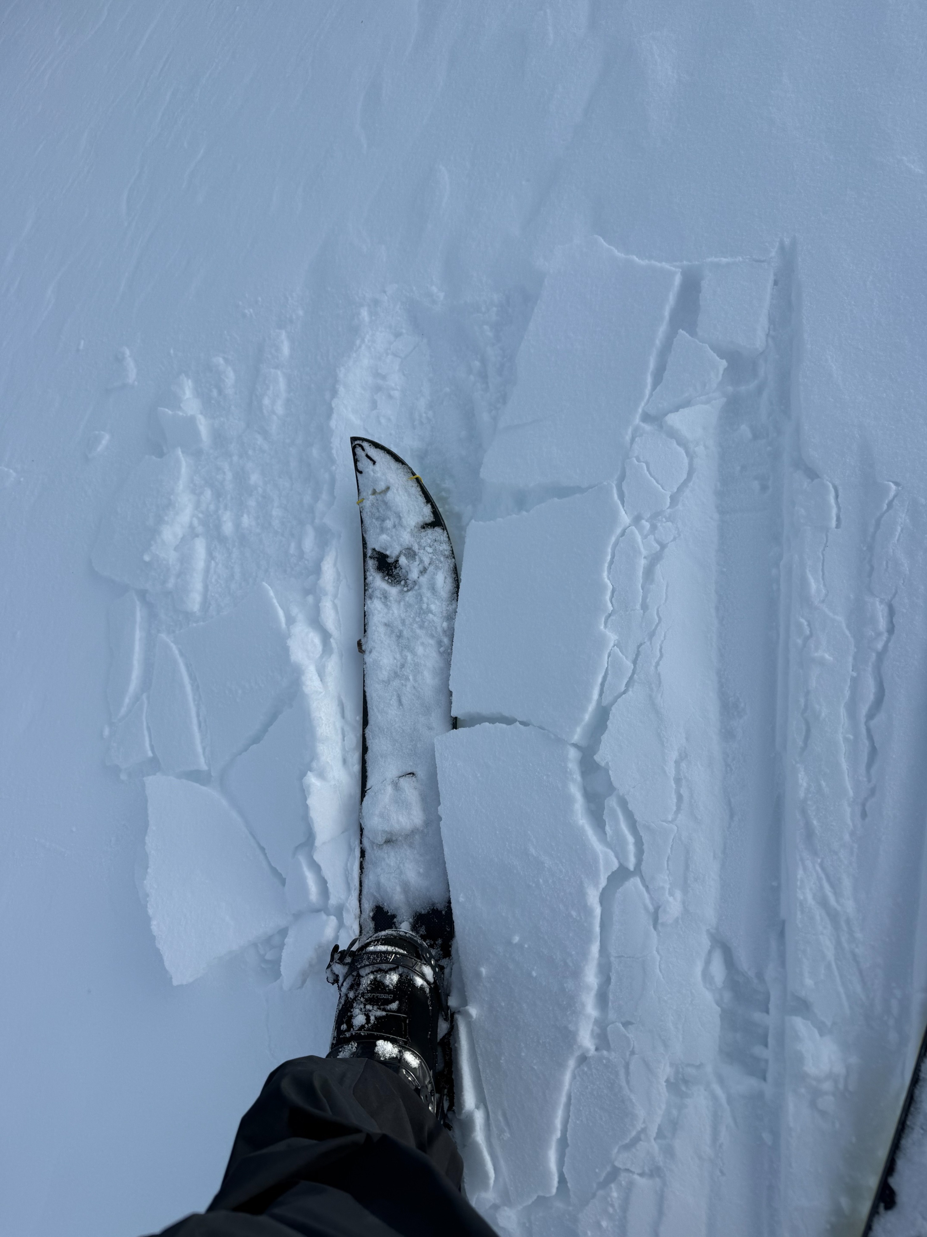
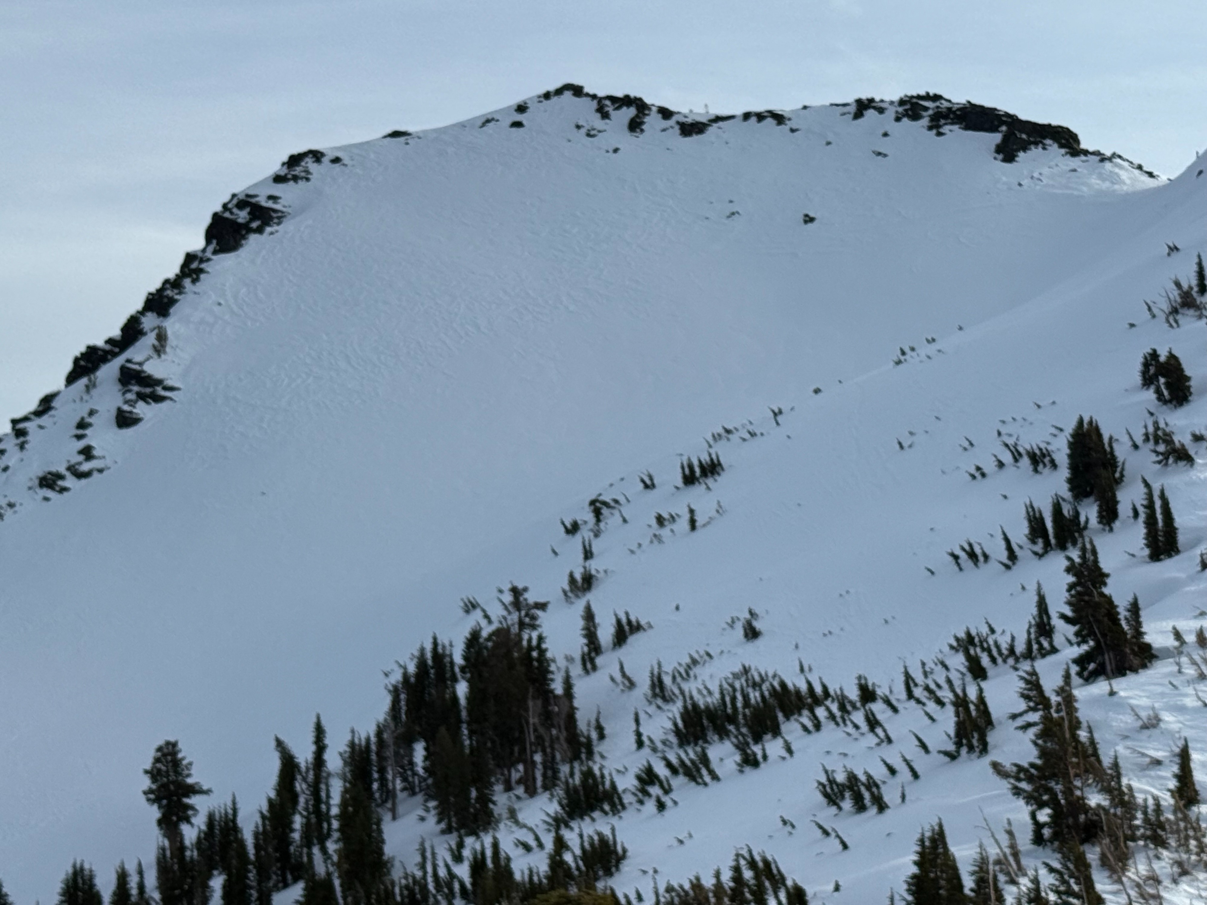
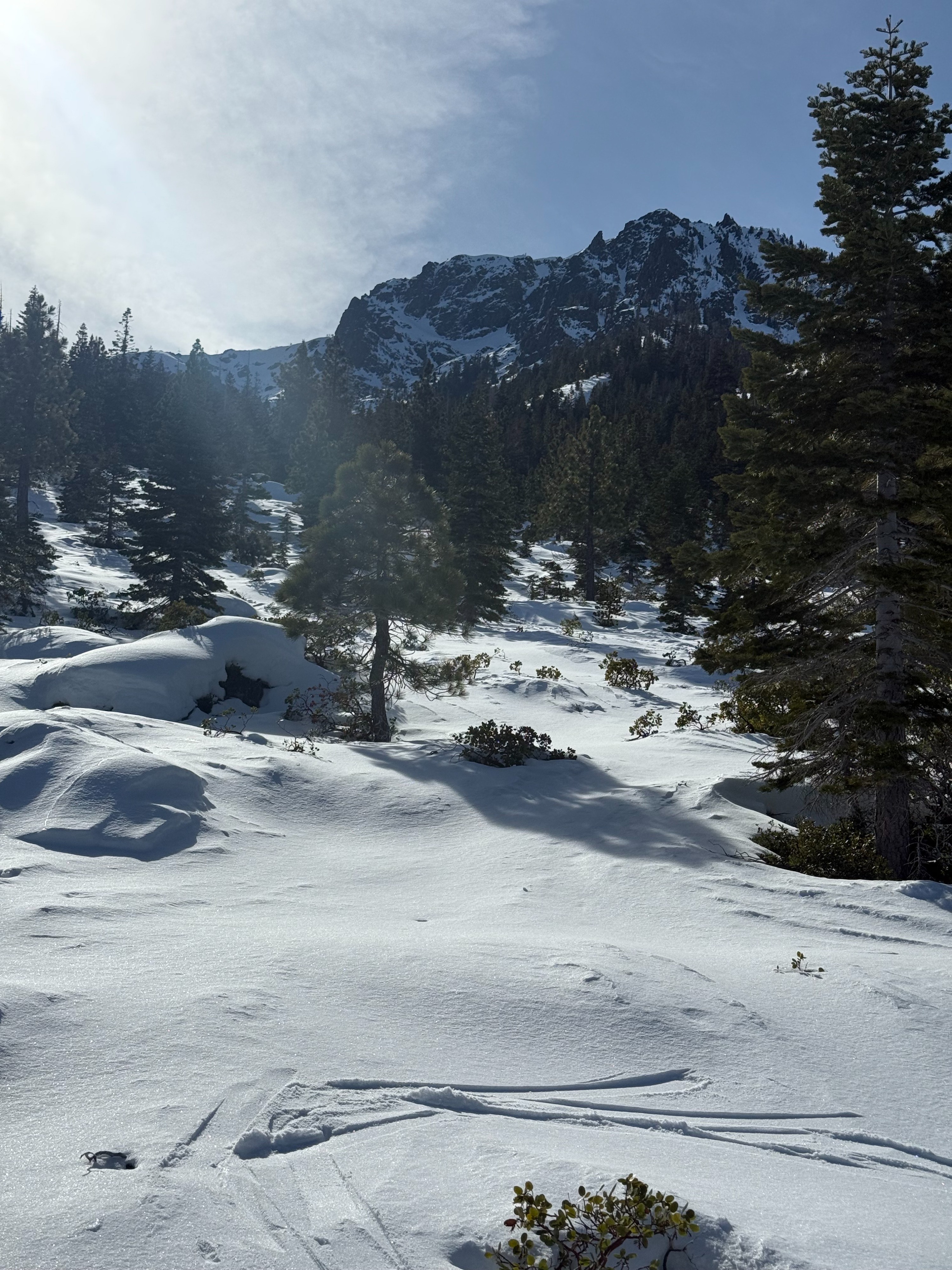
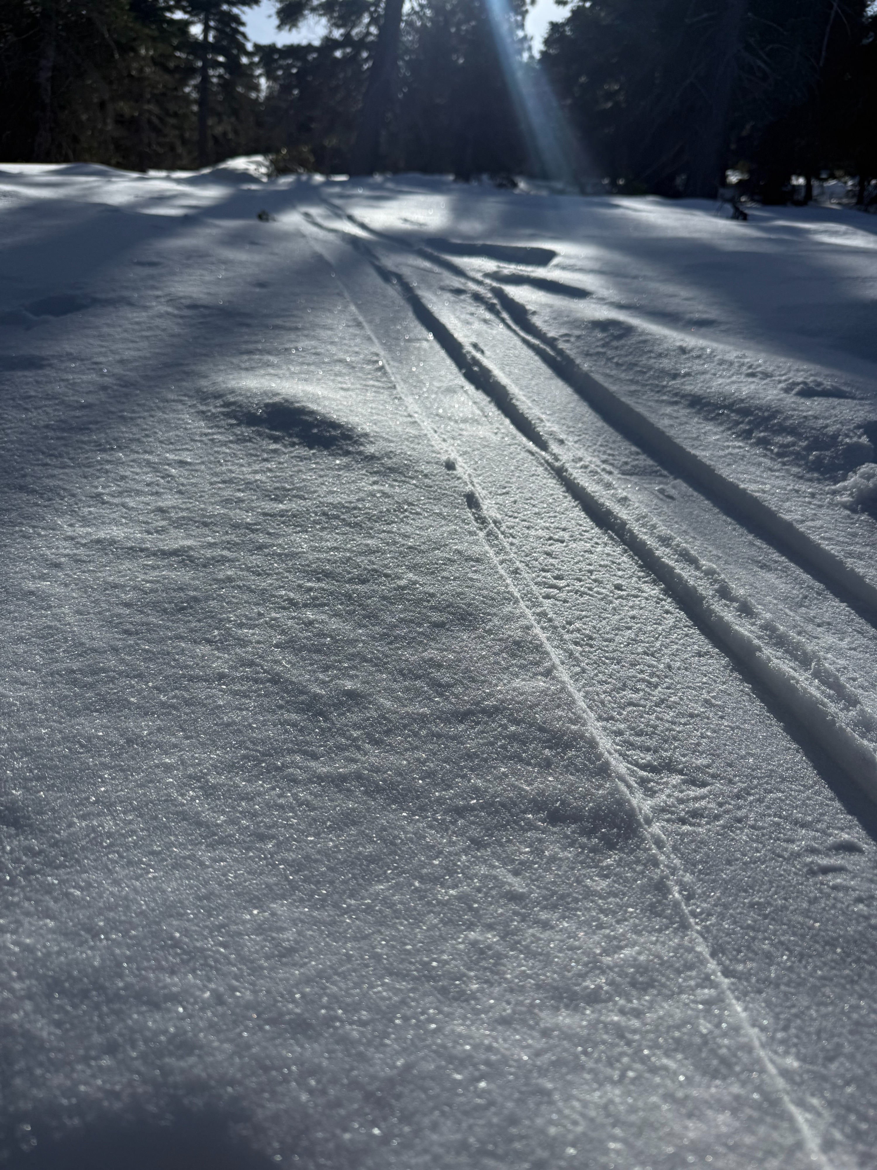
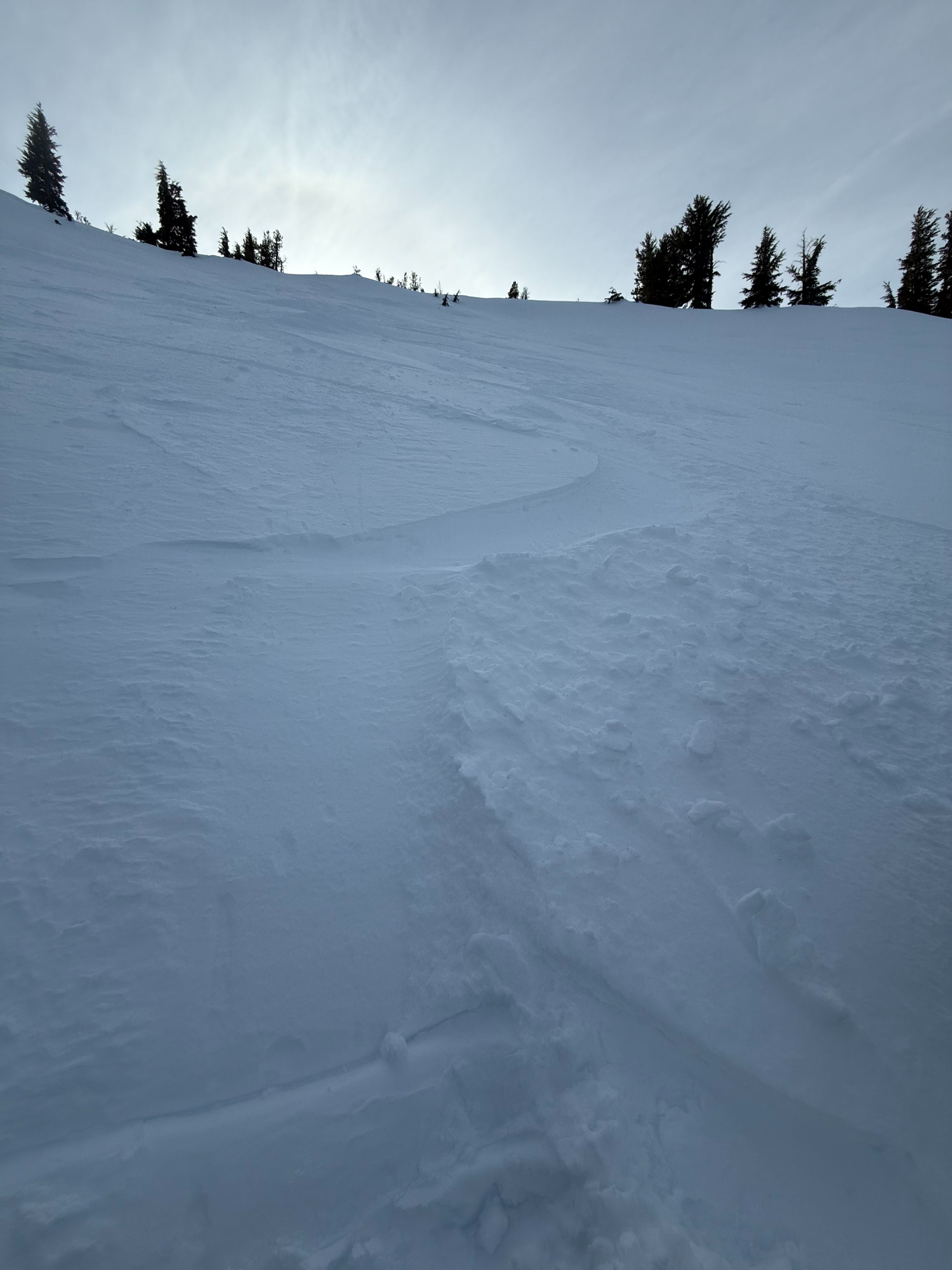
I went up Tallac to 9,200 ft. Today was a classic "dust on crust" experience. The new snow was 1-5cm. The crust beneath the dust was everything from breakable to supportable. The snow surface on north aspects was Fist soft and cold; grippable and ridable. With that said, the north side was also bouncy, inconsistent and variable. Ghost tracks were everywhere. South aspects showed signs of surface melt in wind protected areas. Most of the day was frozen melt freeze with 1-3cm of dust on top. The only other skier I saw called it" bombproof". Skinning was crunchy and slick. I had to take an abstract route to find usable snow. Both the up and the down proved challenging.
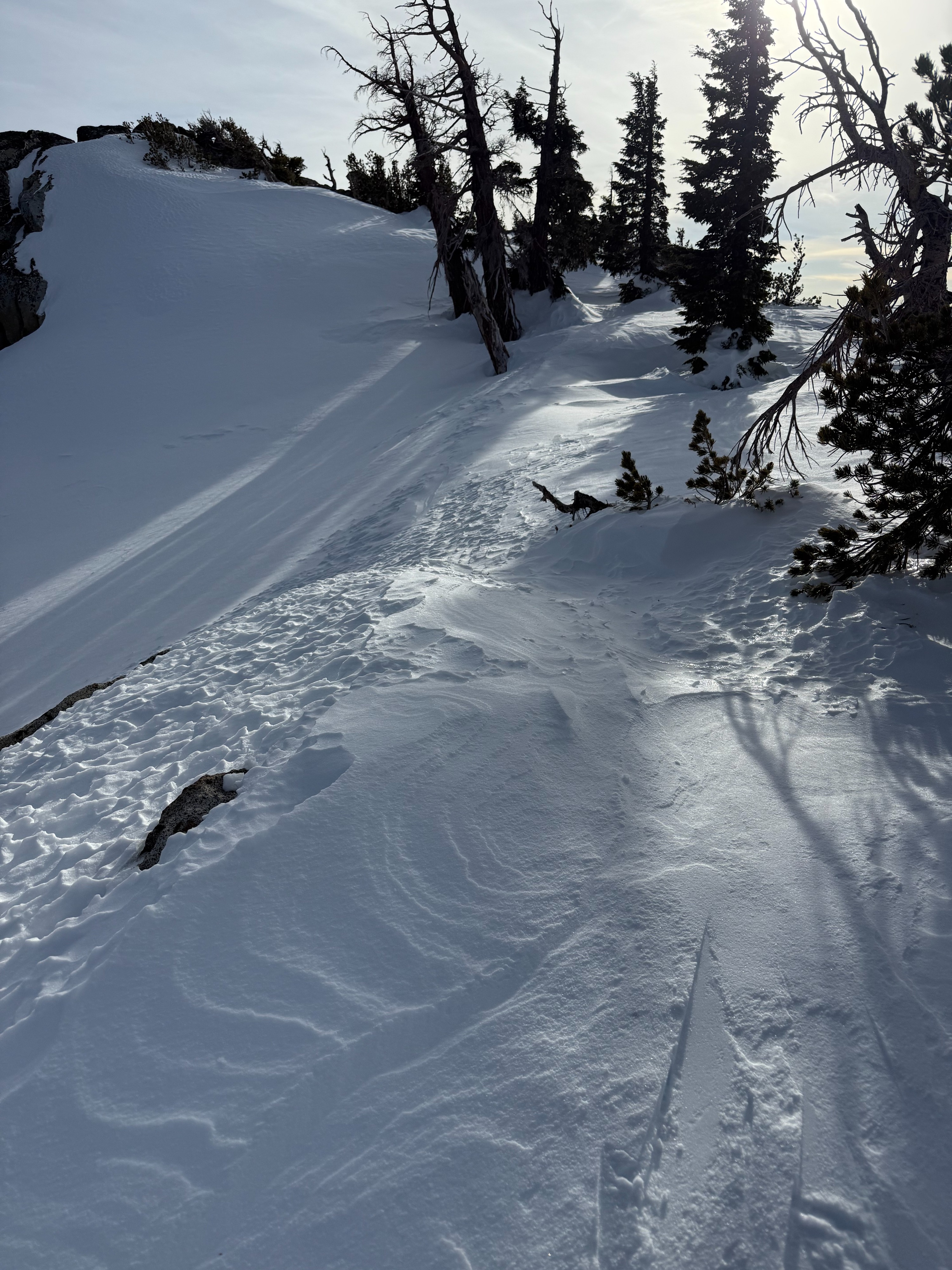
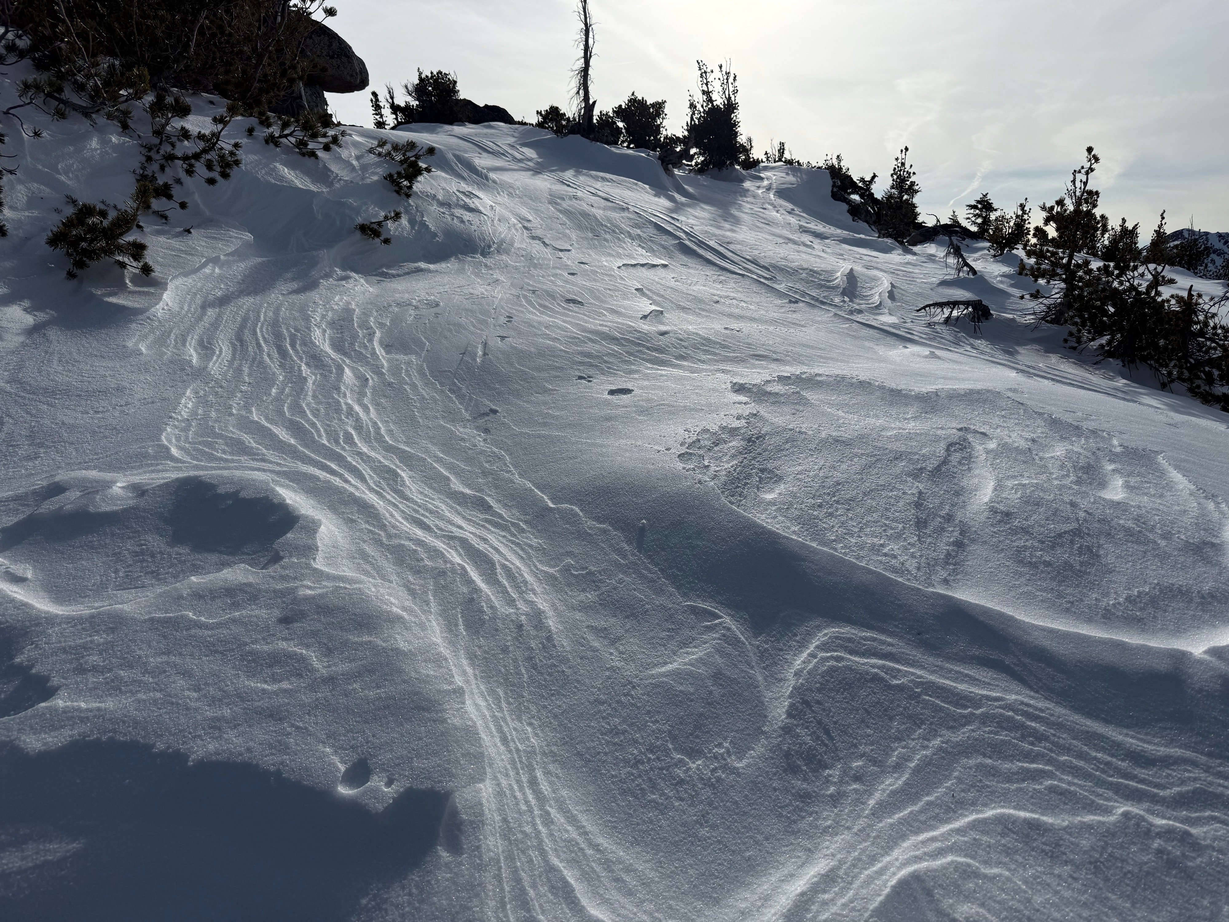
No signs of instability were observed with non-formal tests. I walked through suspect windloaded areas with no signs of reactivity. In this area, the new snow didn't appear to be cohesive nor deep enough to have any energy. I didn't see much evidence of a major wind event blowing snow. The deepest wind drift I found was 7cm. There was wind textured surfaces on the ridges. I am sure you can find an isolated reactive wind pillow out there. The average HS was 120-140 cm, with the (Jan 1st) rain crust down 60-70cm from the top. Near Surface Facets below the new snow made the riding manageable.
Weather
- Air Temp
- Above Freezing
- Cloud Cover
- scattered
- Wind Loading
- previous
- Rain Elevation
- Not Observed
- Recent Snowfall
- 1-7cm
- Snow Avail For Transport
- small smounts
Sunny skies, with high altitude clouds. Temps were above freezing, still cold in the shade. Calm winds.