
Quick report
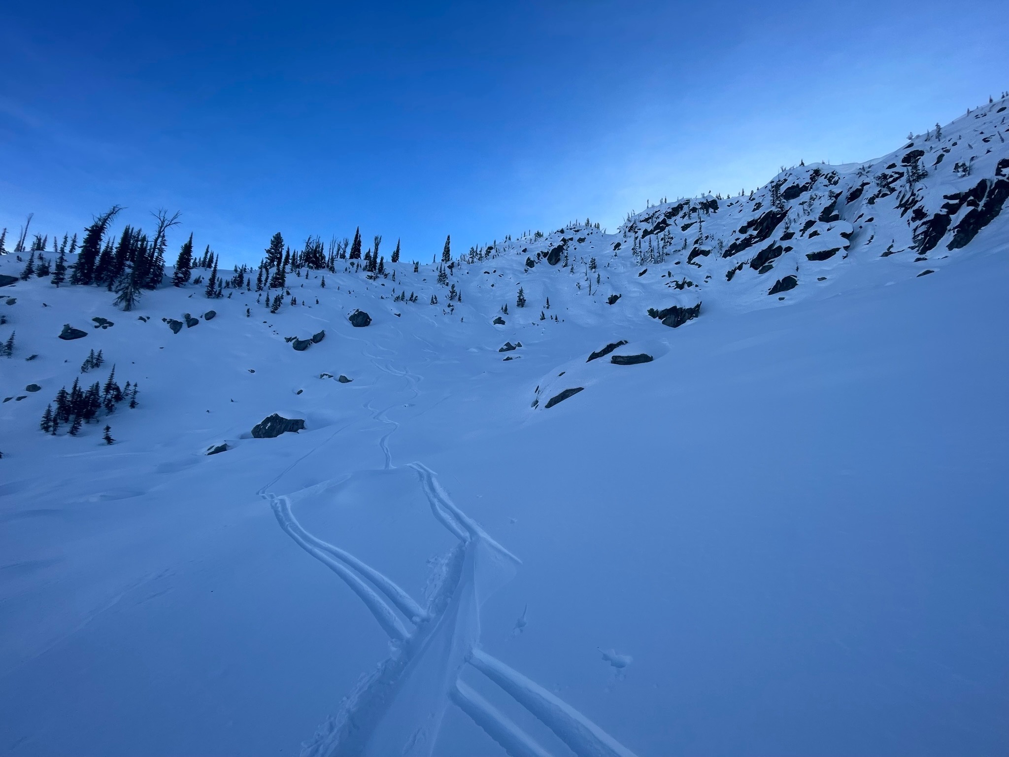
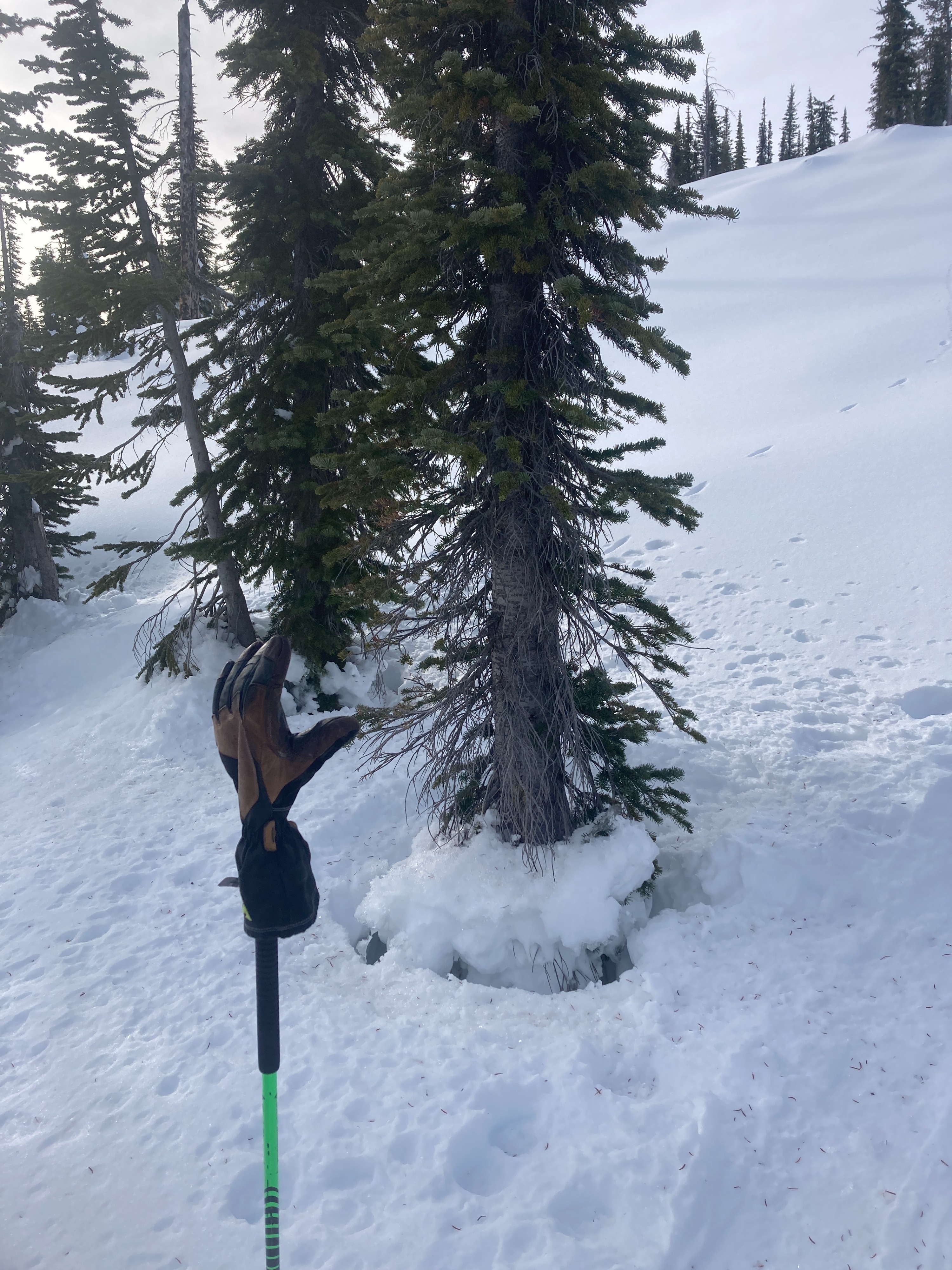
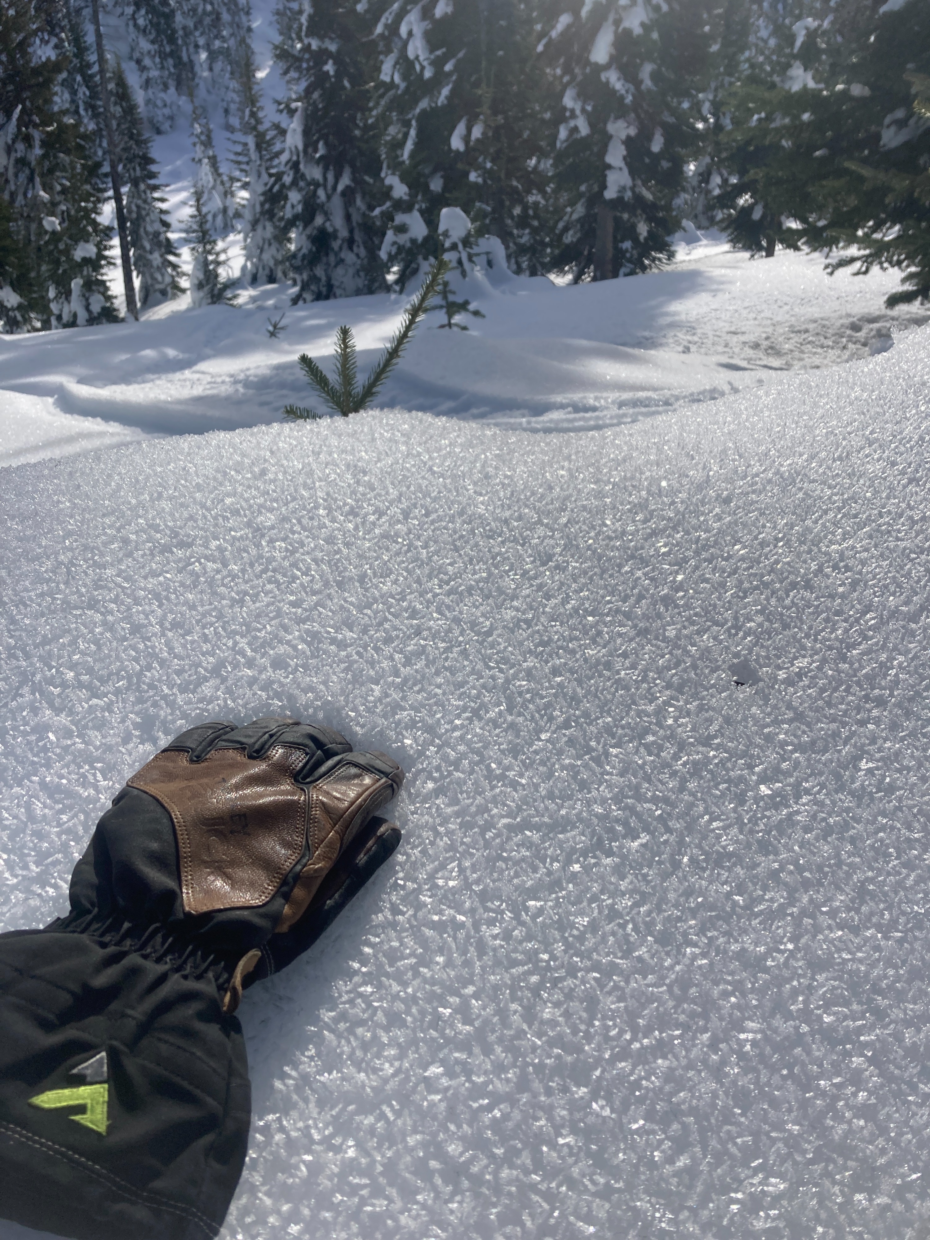
People have been getting after it in the mountains over the past couple of weeks. The weather pattern in November has built a stable snowpack in the mountains right now. A multi-day atmospheric river event in late November saturated an above average snowpack, giving us a maritime-like snowpack to start the season. Currently, the avalanche problems are limited to the upper surface snow in steep terrain. As the snow surfaces are buried with a storm this weekend, we'll have crusts, surface hoar, and near-surface facets buried underneath new snow. In short, stable conditions currently but weak layers will be buried this weekend creating instabilities in the upper snowpack.
No instability noted. Overall stable conditions in the snowpack right now.Weather
- Air Temp
- 33
- Cloud Cover
- scattered
- Wind Loading
- none
- Recent Snowfall
- None
- Snow Avail For Transport
- small smounts
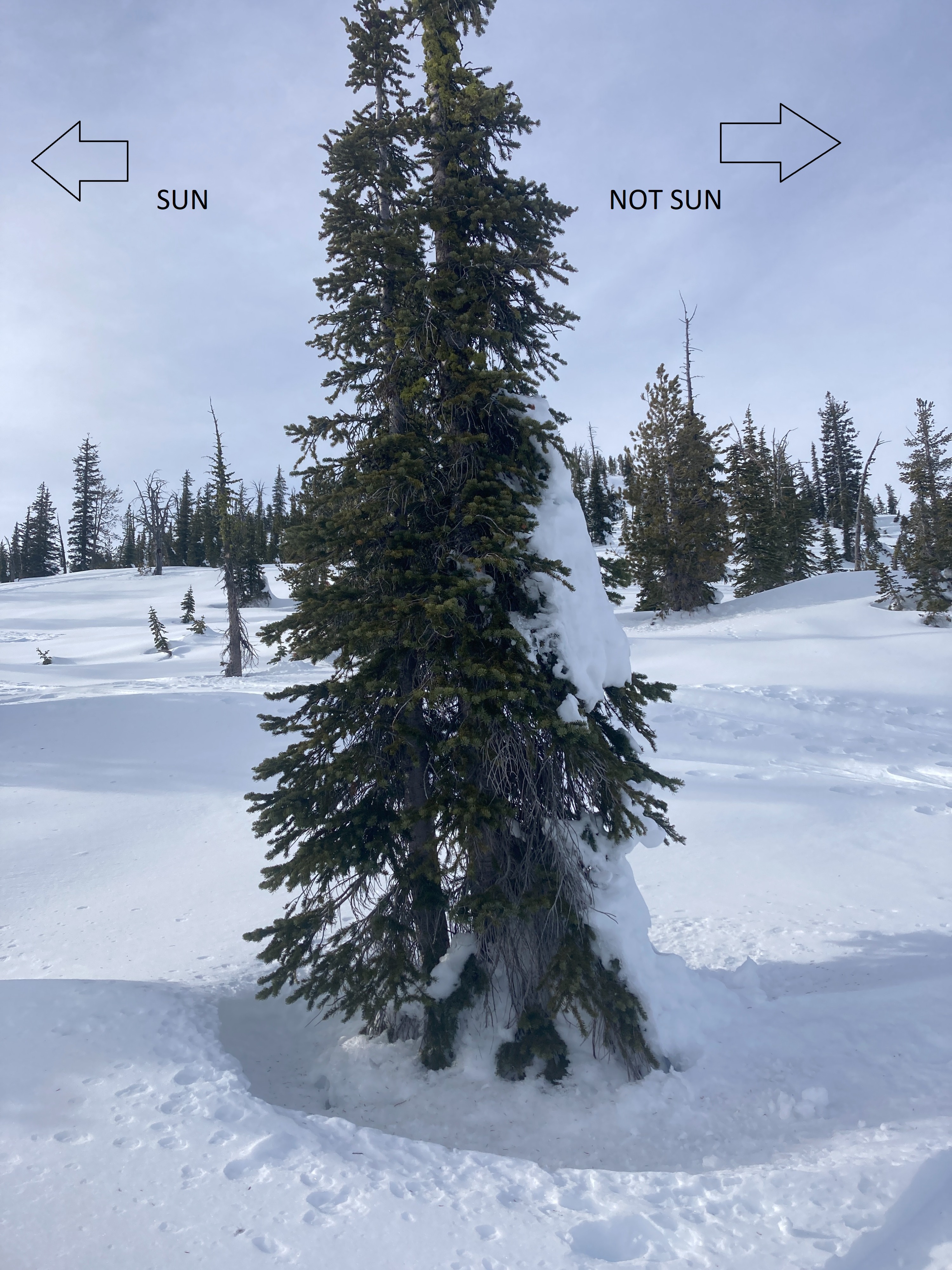
Another groundhog-like day in West Central Idaho. Valley inversions and above average temperatures at upper elevations. Very light winds out of the SW. High clouds moved in for a few hours during the middle of the day, but were pushed out in the afternoon.
Snowpack
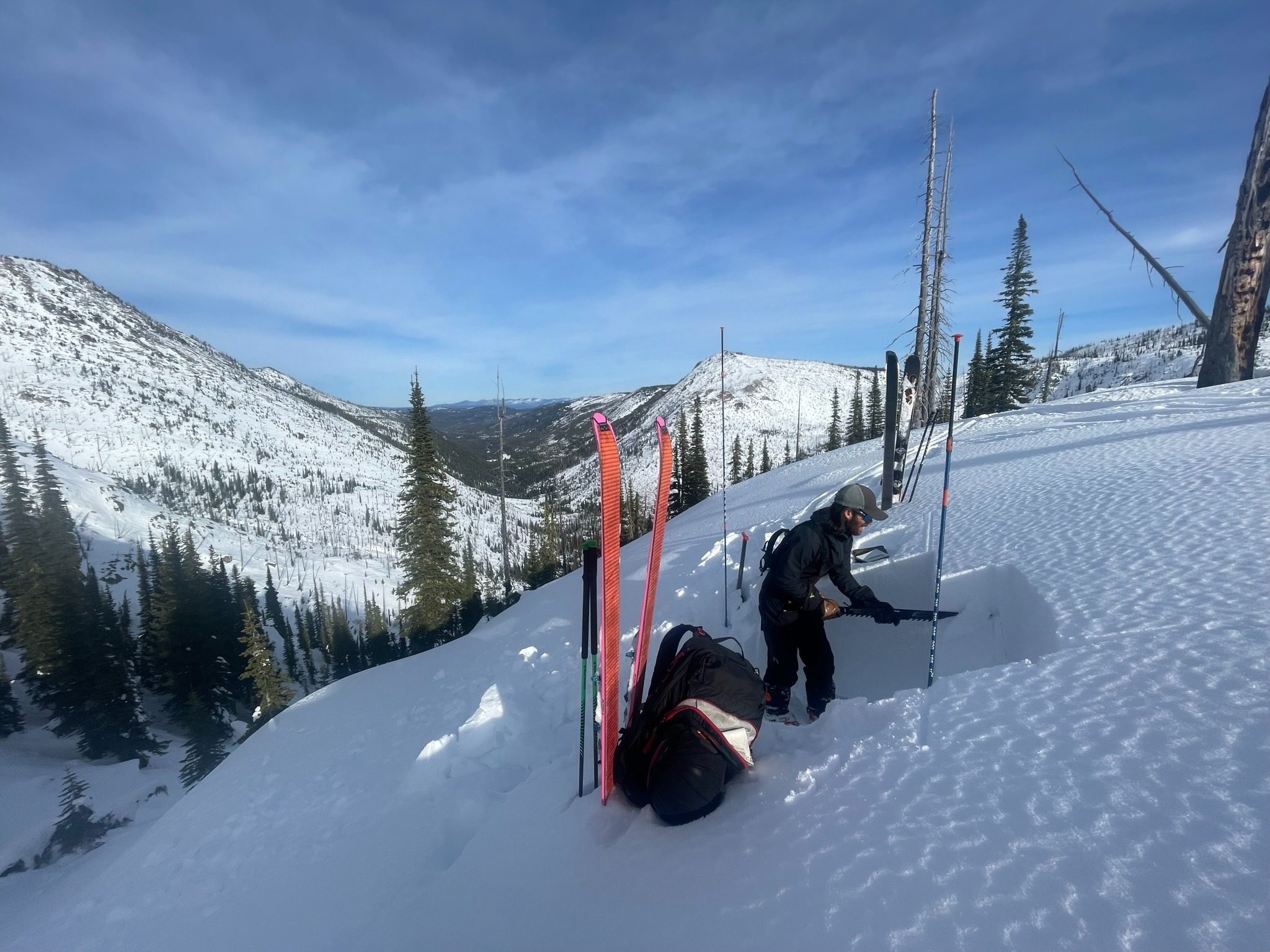
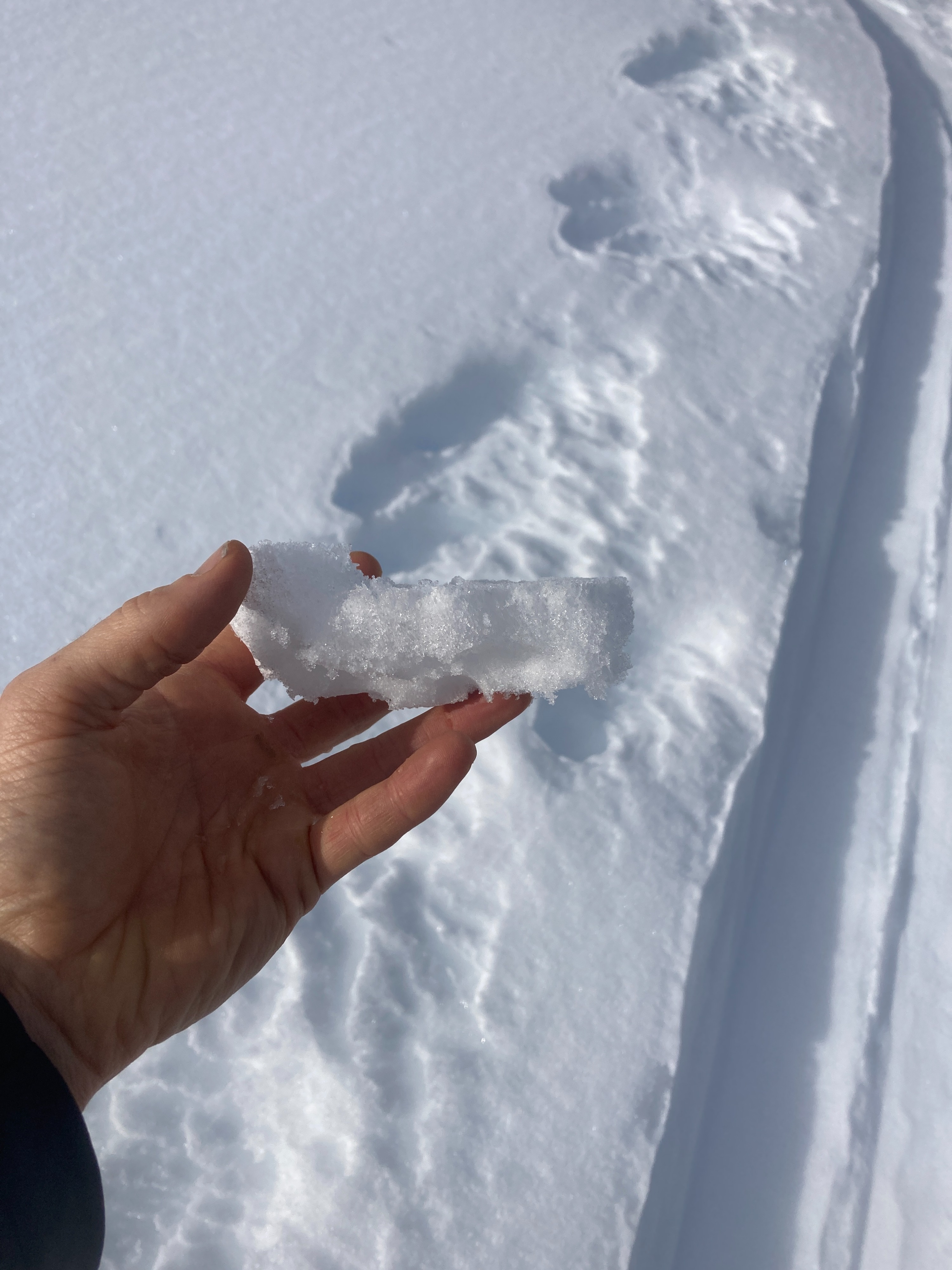
We dug two snowpits today. One on a NW aspect around 7600 was in a deep location (6+'). The 11/22 rain crust was observed here, but was mostly broken down. Deep snowpack with no signs of instability noted in first pit. Second pit was on a NE aspect around 8300' with 4.5' of snow. Rain crust was not observed at this location. Hard failures were noted in the upper foot on density changes. The upper couple inches was loose and faceted.