
Quick report
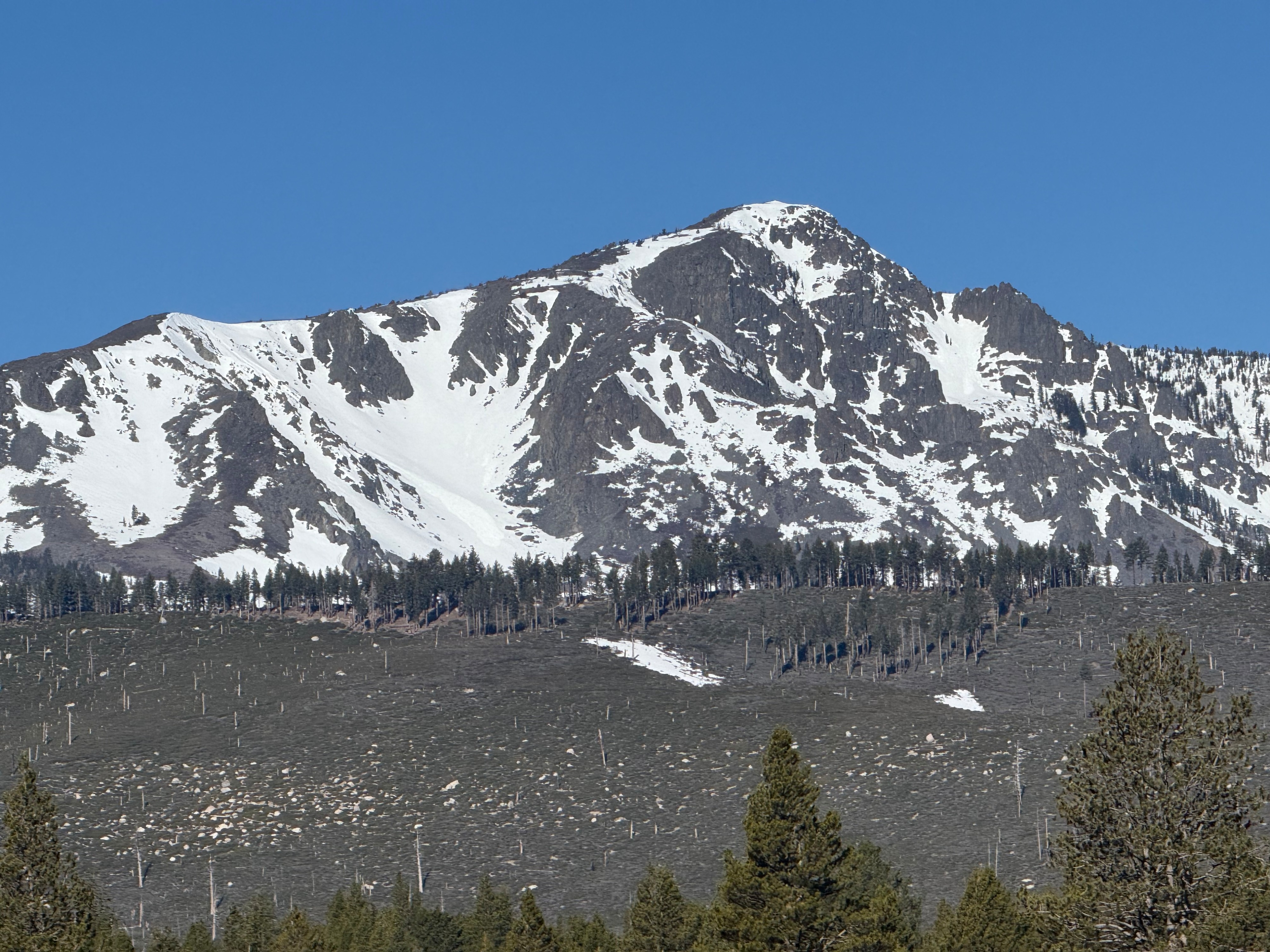
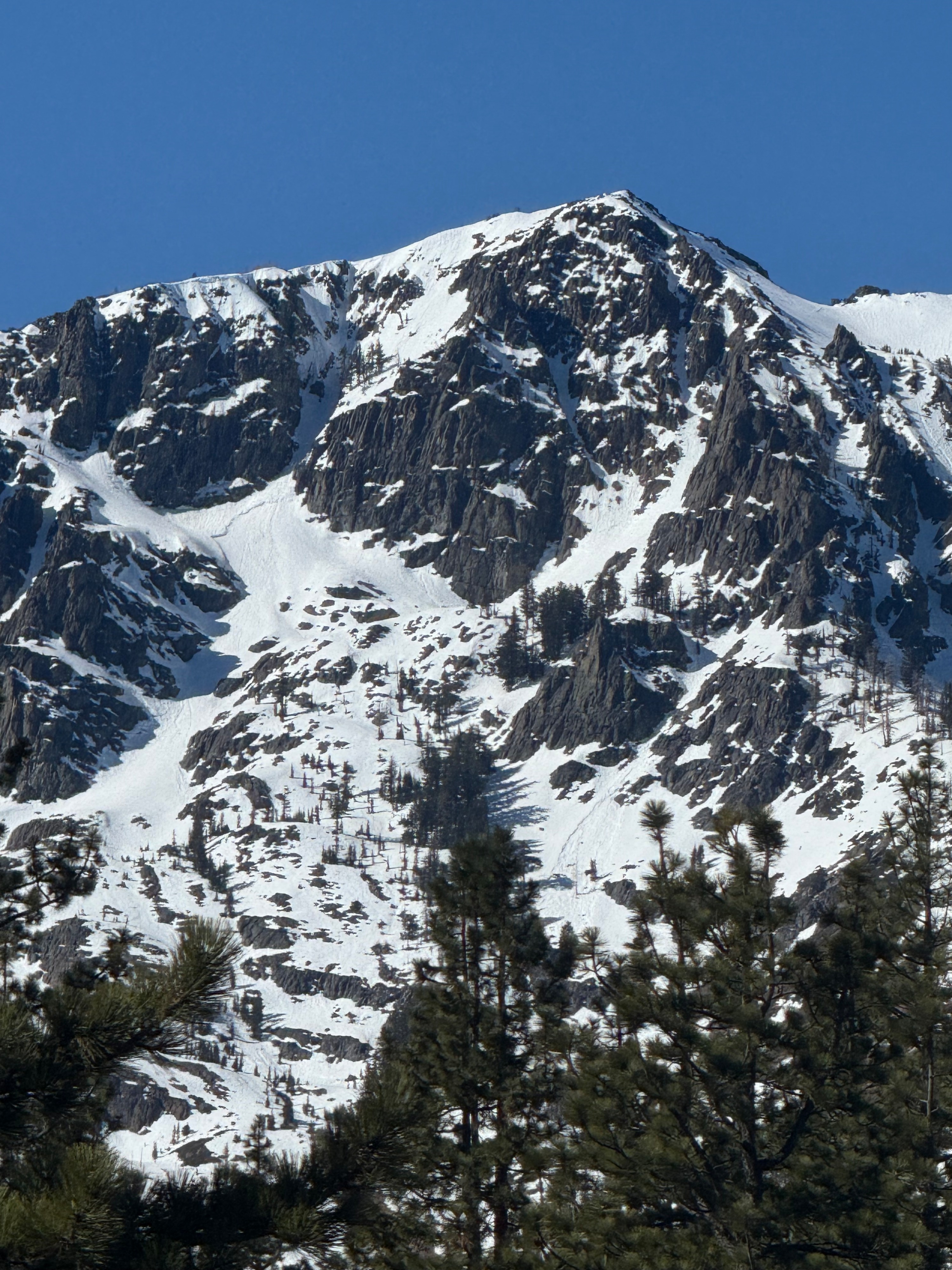
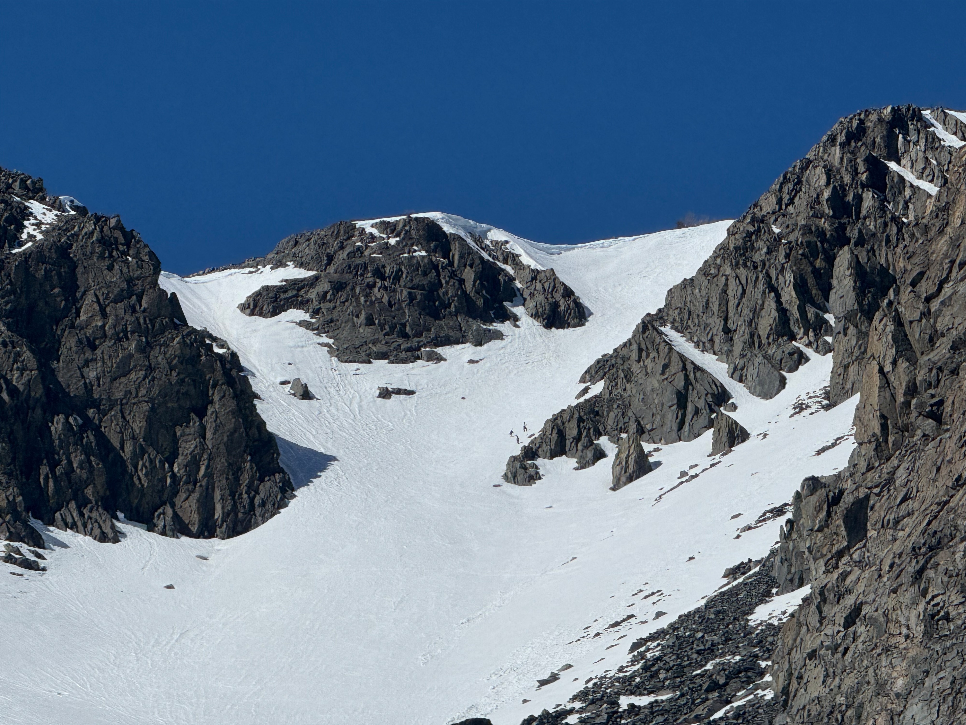
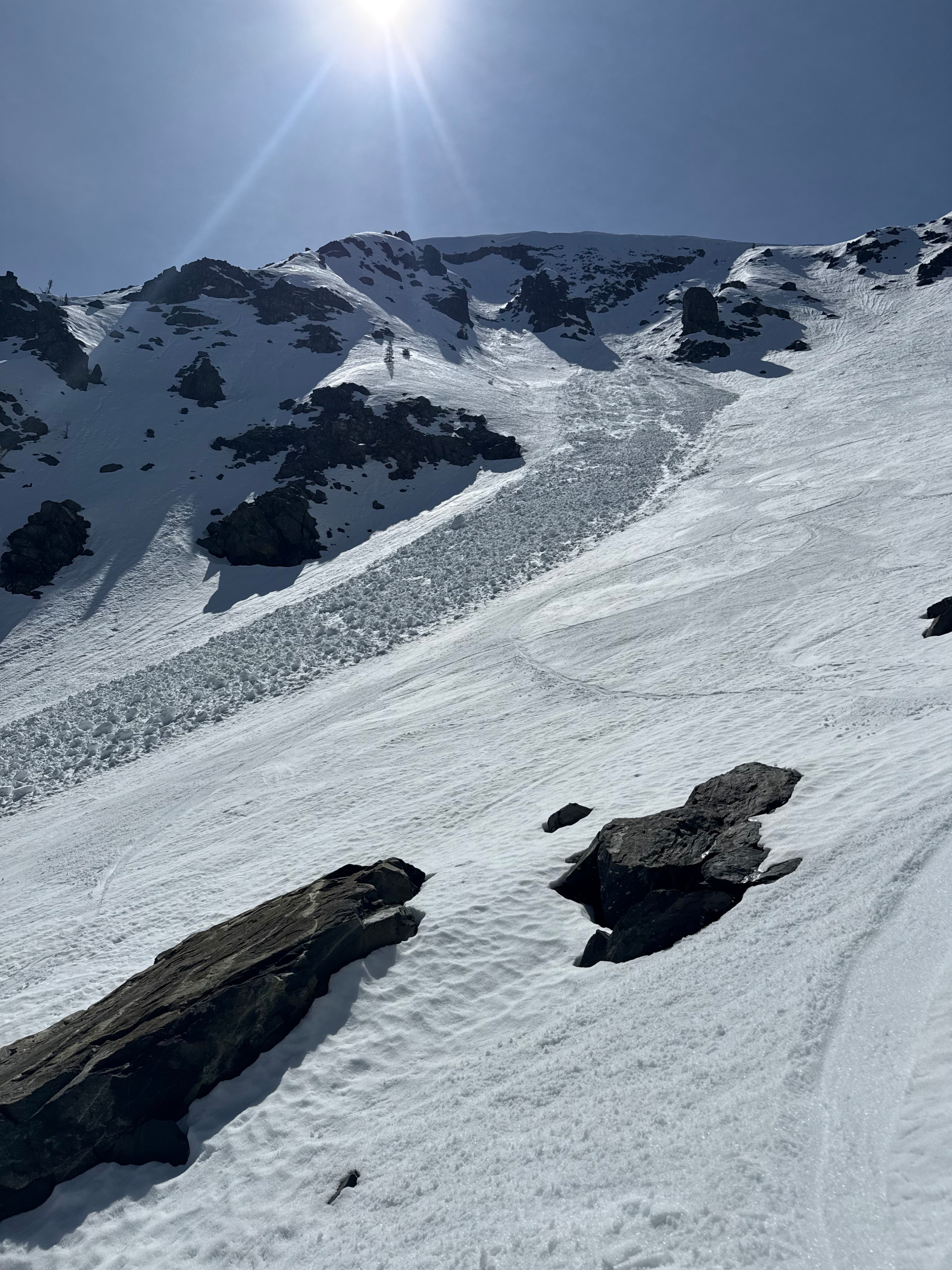
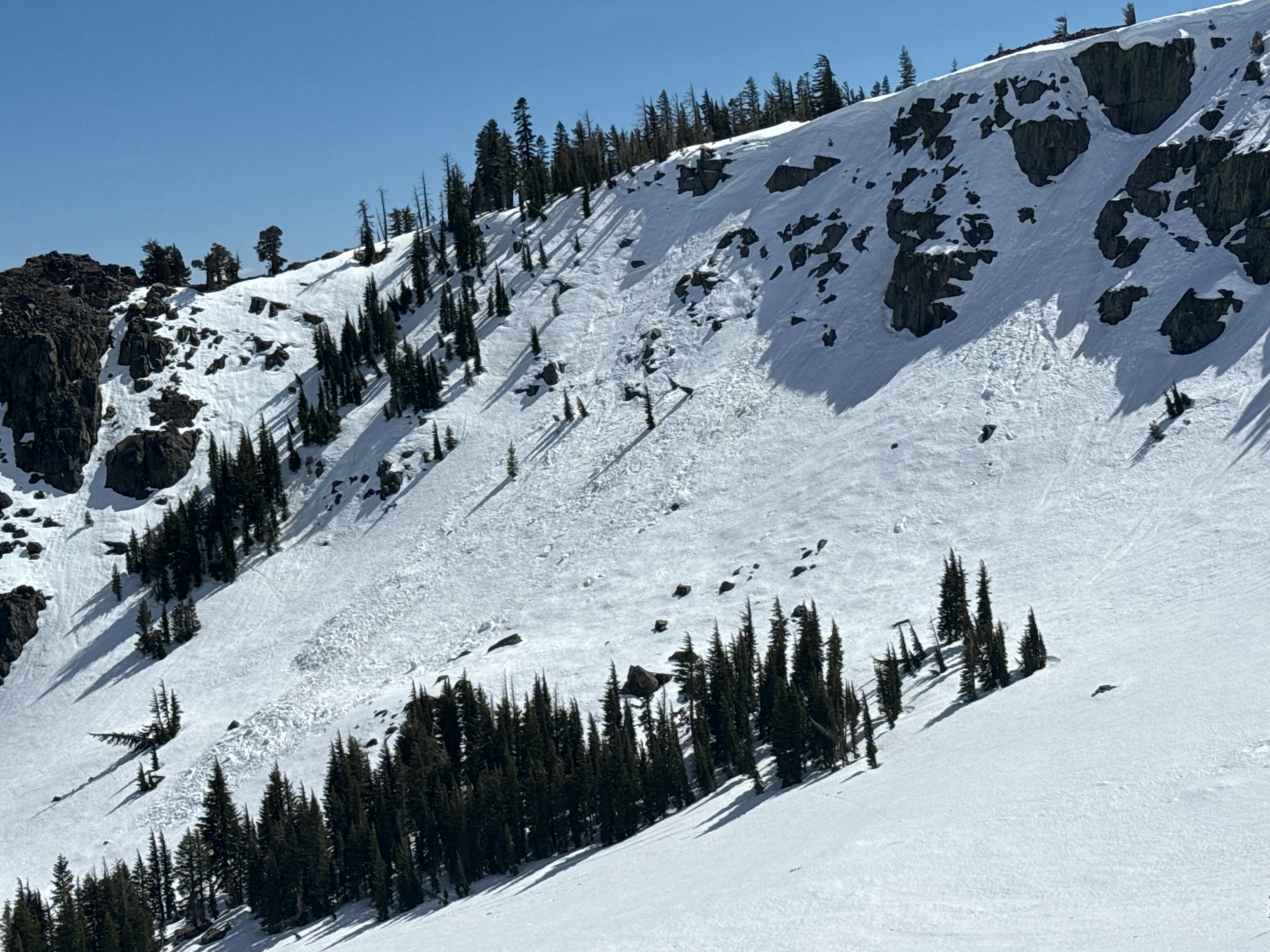
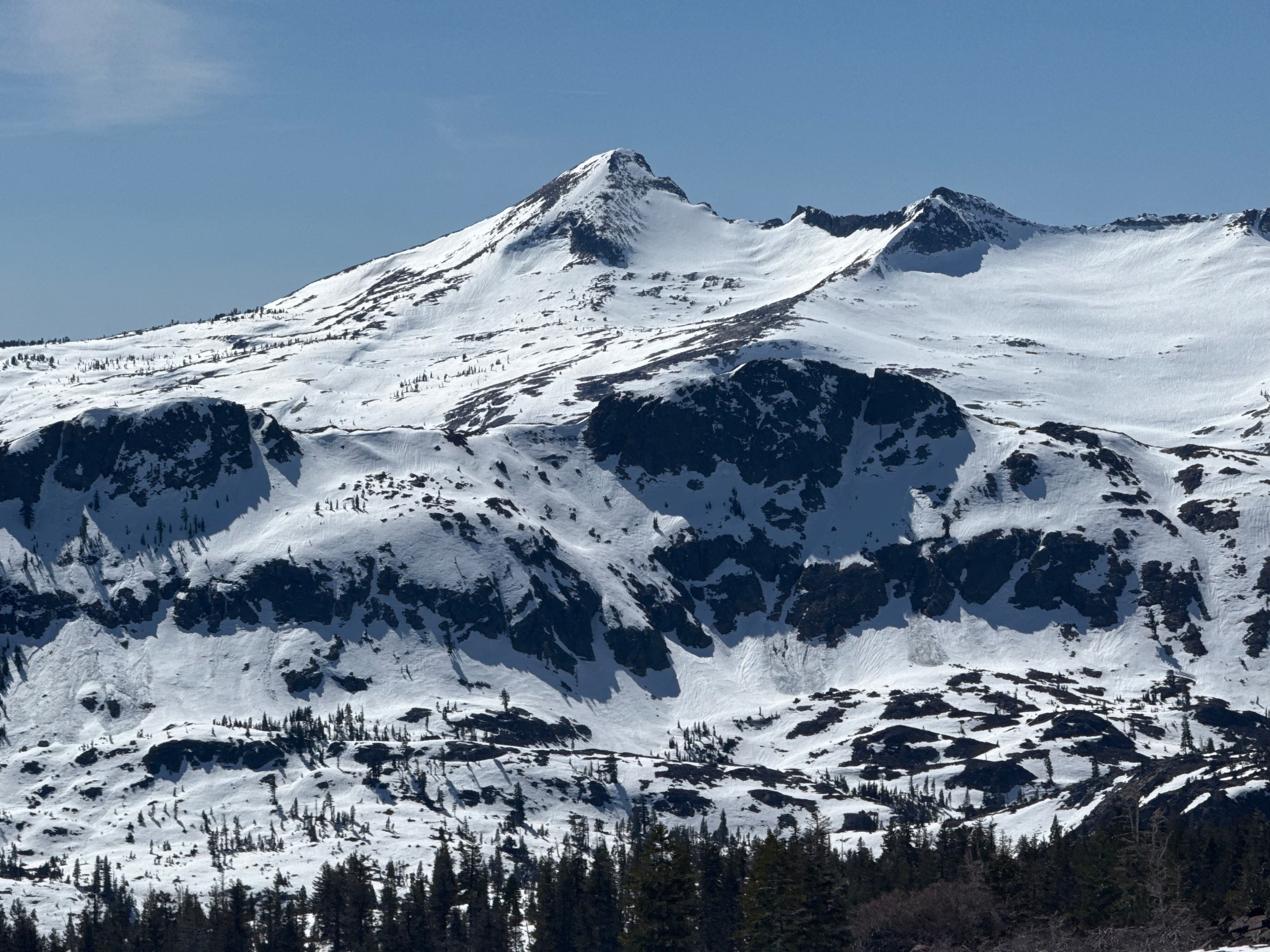
We went to Cathedral Bowl of Tallac to observe the corn snow forming under the warm temps. We were hoping the winds would keep the snow surface cool and delay the melt cycle. The winds throughout the day were less than expected, and the surface melt was significant in any sun exposed areas. The west winds were forecasted to be moderate, but proved to be light in this zone. There was good corn formation, soft snow surfaces, and it was grippable throughout our travels. No wet loose instabilities were observed within test slopes nor during our descent. Rollerballs got smaller when intentionally initiated. The biggest hazard was weak, thin snow bridges, and open holes within the talus fields. A long slide from a fall could have consequences during morning approaches. The snow was supportable and never got mushy in the alpine. The HS ranged from 0- 100cm depending on aspect.
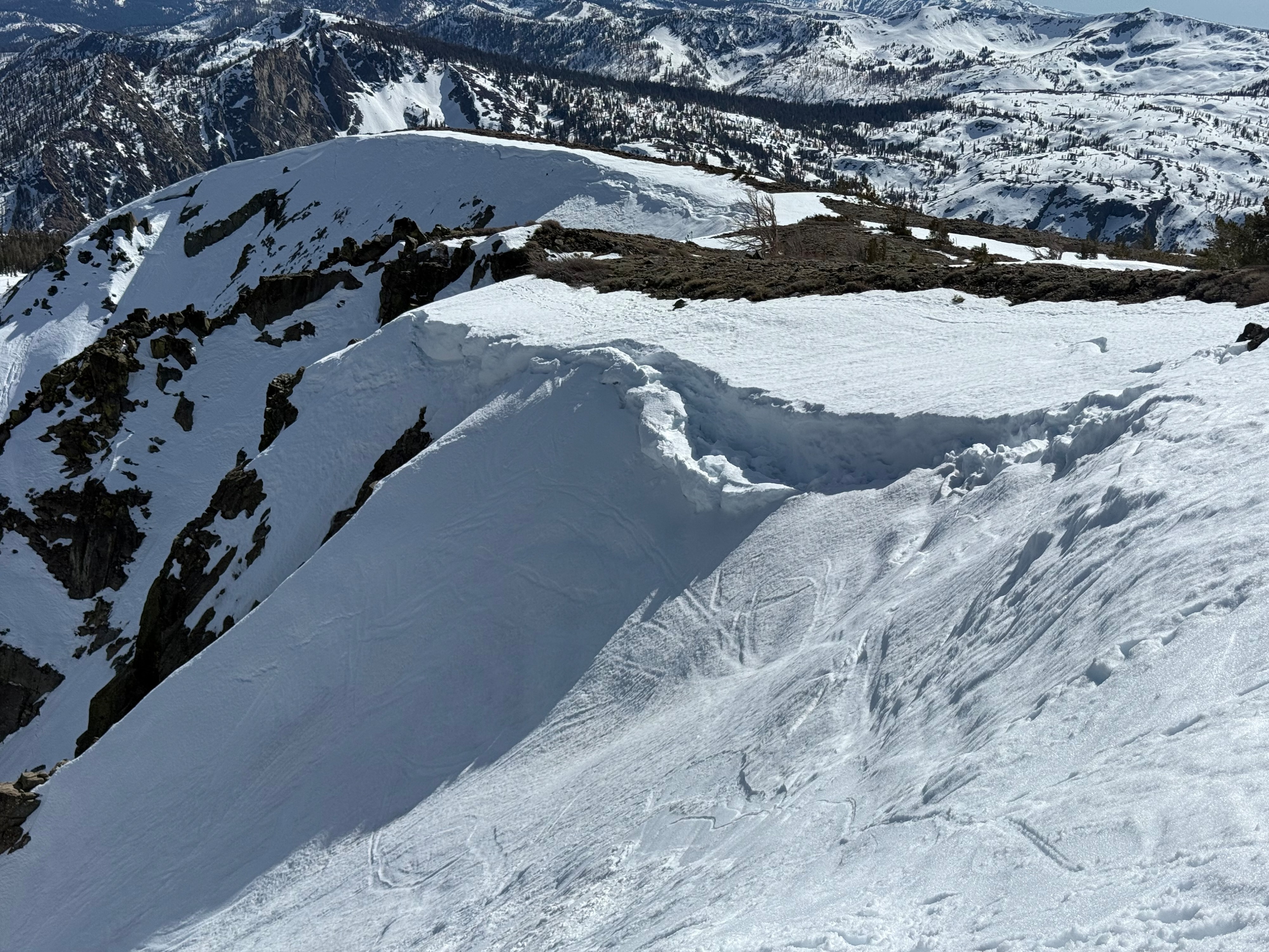
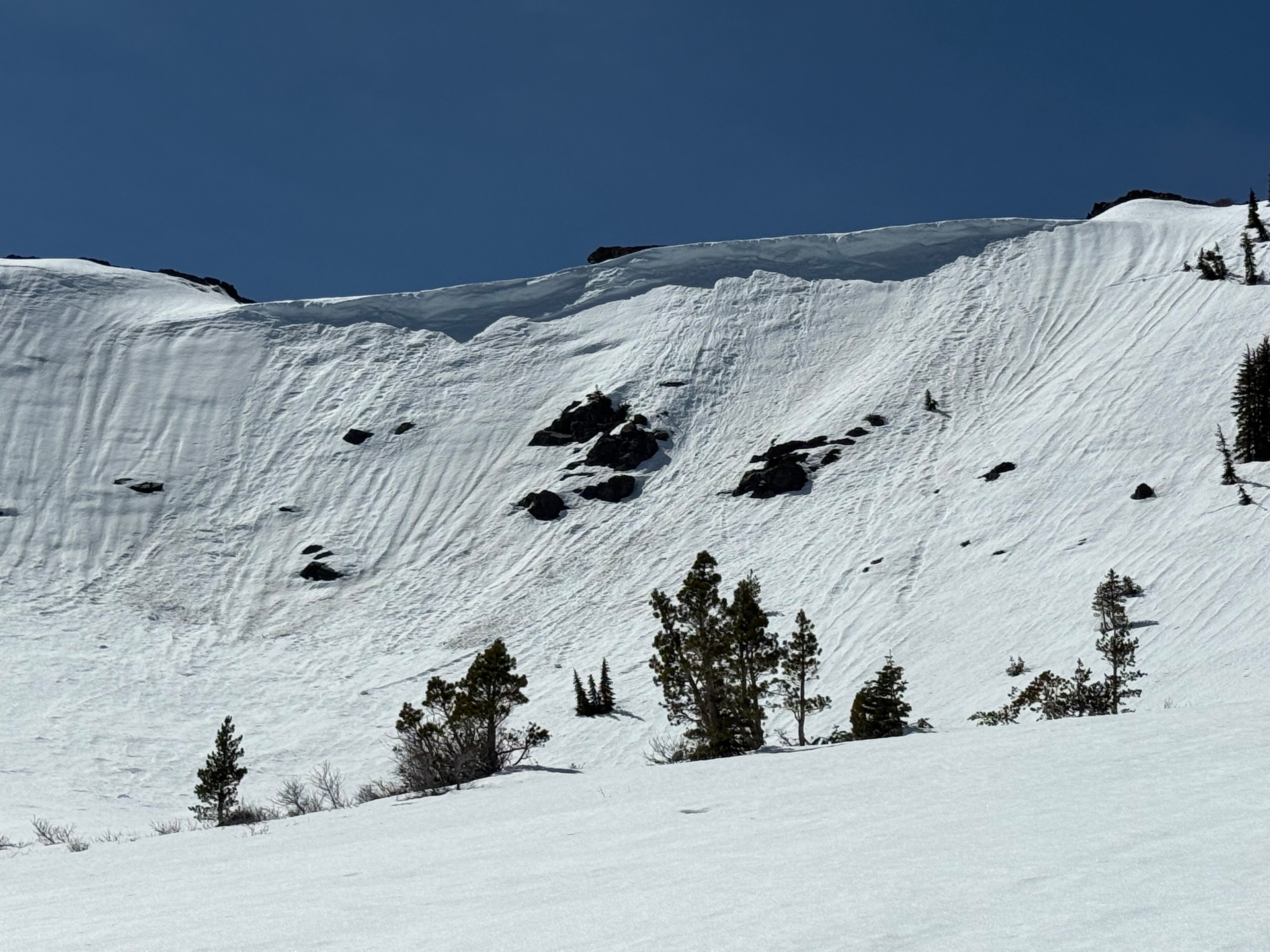
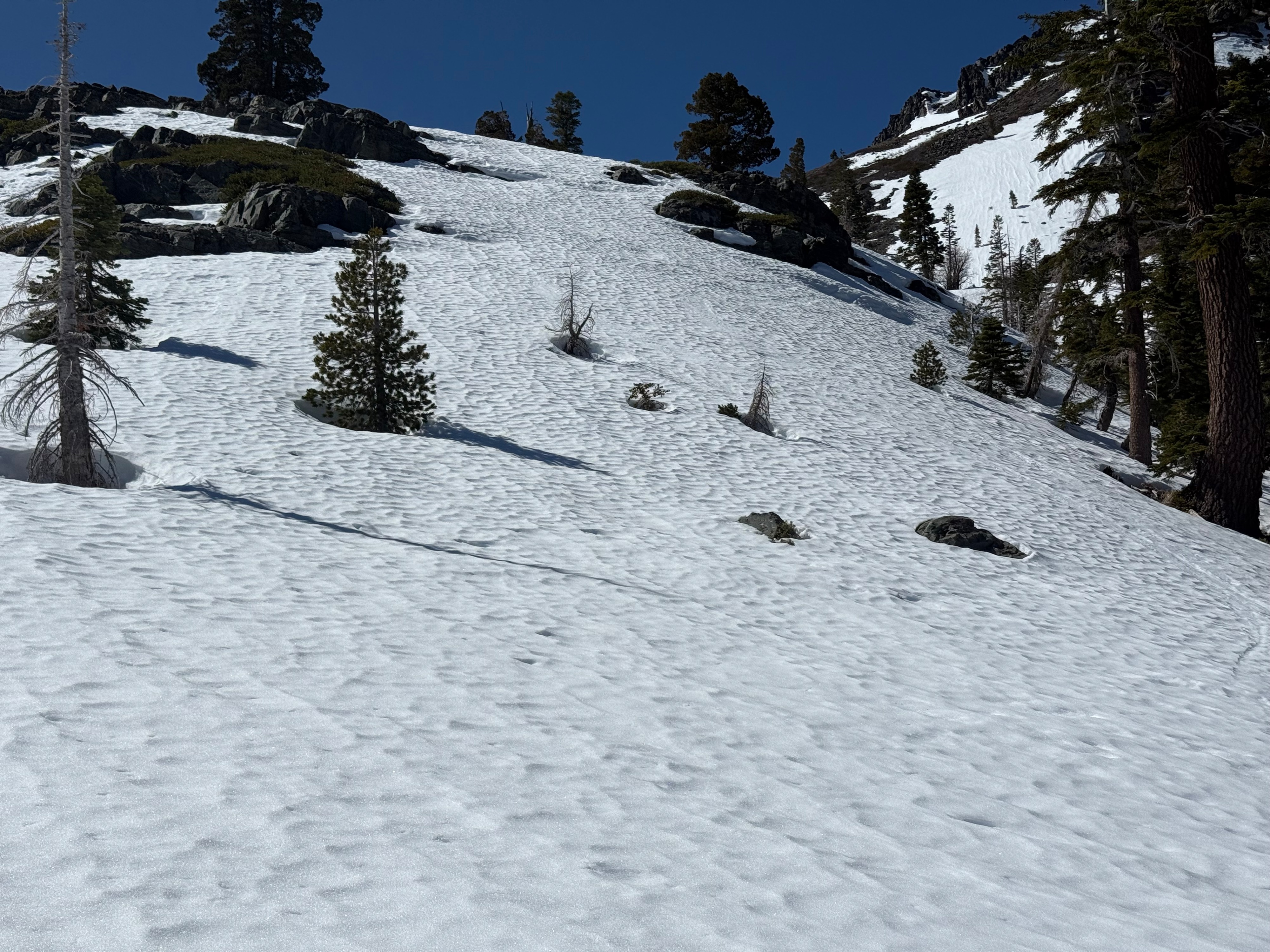
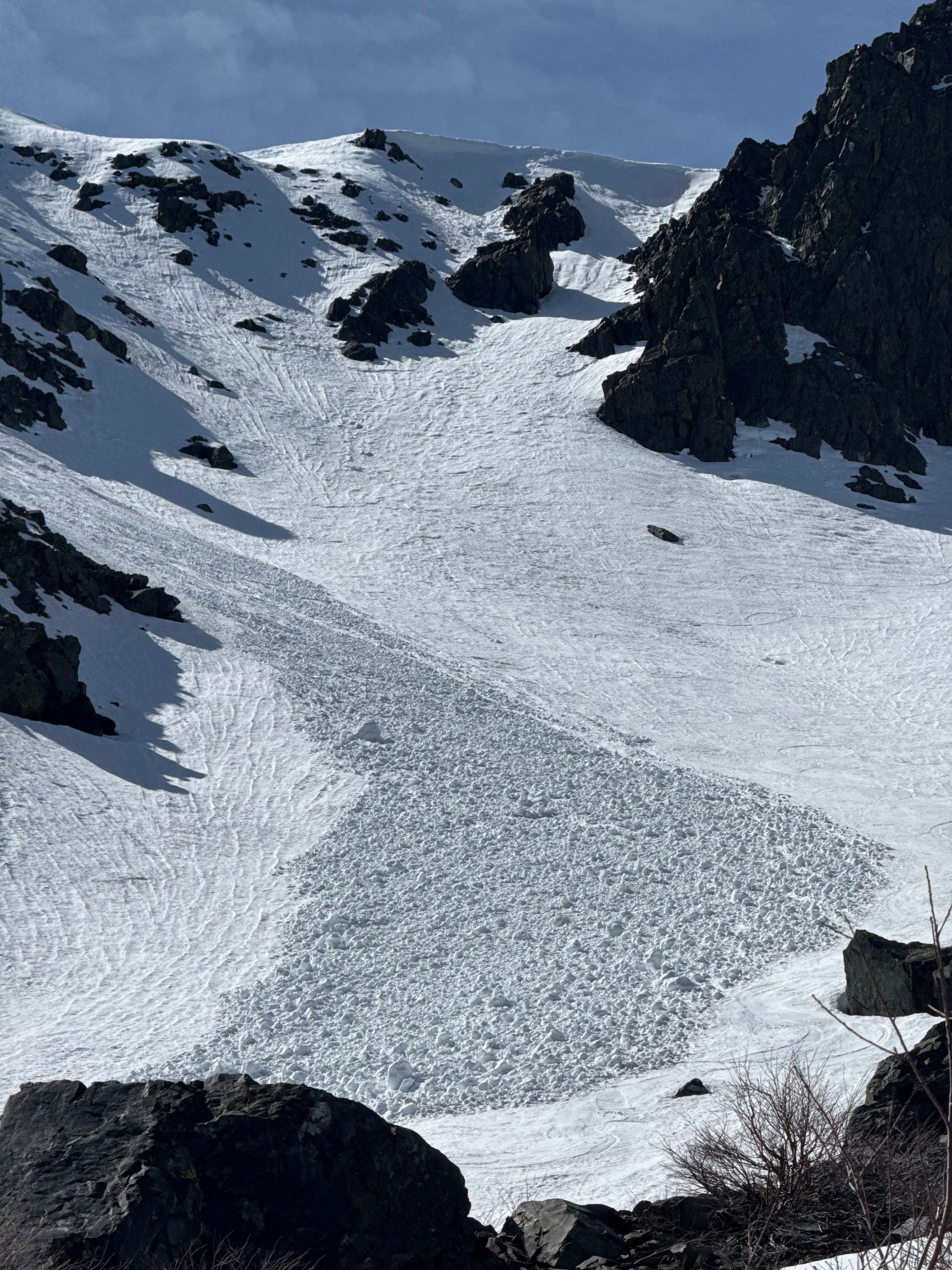
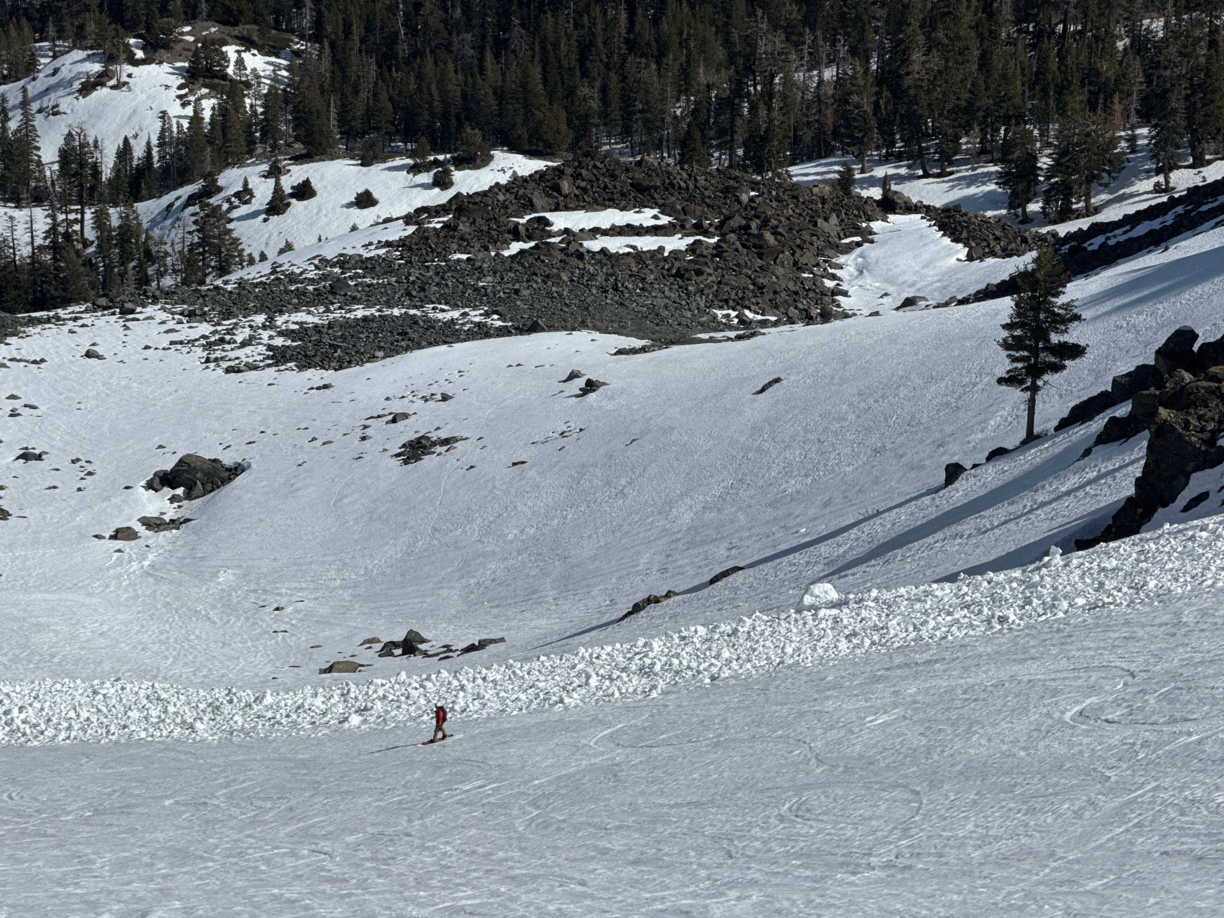
We observed the remnants and debris fields of old avalanches, and over hanging corninces. Getting to and from the skiable terrain required significant dry walking. North facing aspects remained firm for most of the day and showed 3 cm of surface melt in the afternoon. Aspects E-W showed 8 cm of surface melt with a knife hard melt freeze crust below. This melt freeze crust was 20-25cm thick and provide a supportable travel surface. It also was firm and slick during steep bootpacking. Boot crampons would have been helpful, ski crampons were loosing purchase in the wet snow. The corn was fast and soft near and above tree line. The snow was sticky and patchy below tree line, becoming mushy in the afternoon. We encountered a group that skied the same line and said 9 am was too early. The timing window of good corn is aspect specifc and good skiing appeared to be from 11 am, onward. We dropped a south facing line at 3pm and it didn't feel too late. Snow surafeces are textured and rippled, some areas containing runnels. These inconsistent snow surfaces limited the speed of descent.
Weather
- Air Temp
- 47
- Cloud Cover
- clear
- Wind Loading
- none
- Rain Elevation
- Not Observed
- Recent Snowfall
- 0
- Snow Avail For Transport
- none
It was clear, sunny and warm (47 degree high) with a light W wind. The winds were not as strong as expected. There was a solid refreeze from the night before. Temps appeared to be above freezing around 9 am and melting the surafce snow around 11am.