
Weather
- Air Temp
- High temps in mountains estimated at around 20 F
- Cloud Cover
- few
- Wind Loading
- previous
- Recent Snowfall
- 20-30cm at upper elevation
- Snow Avail For Transport
- small smounts
Snowpack
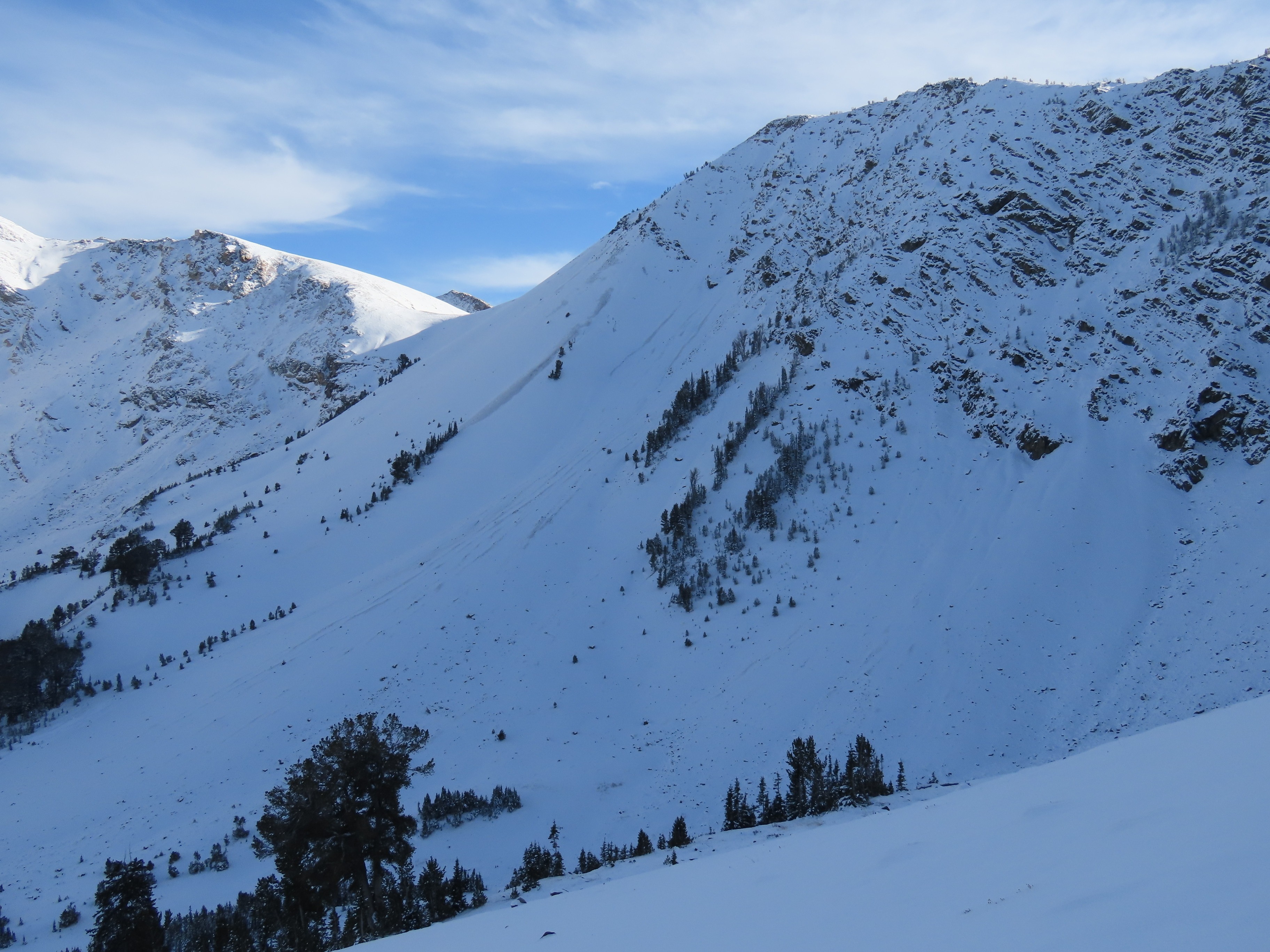
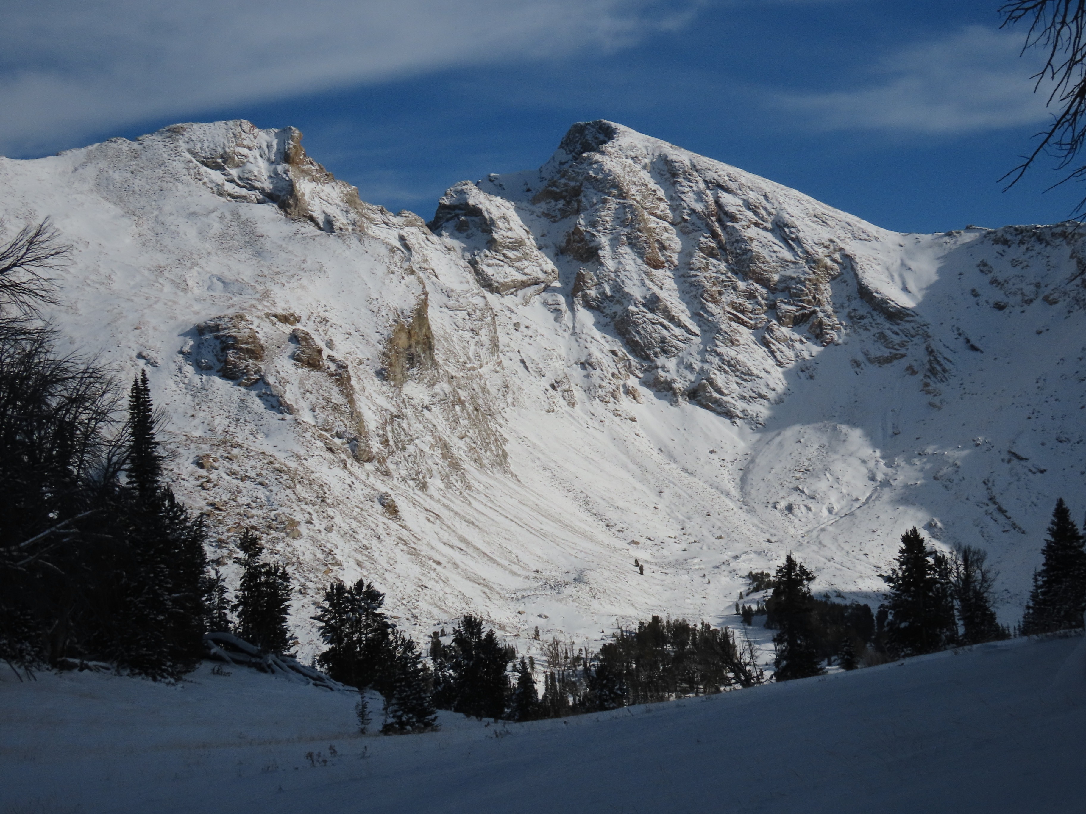
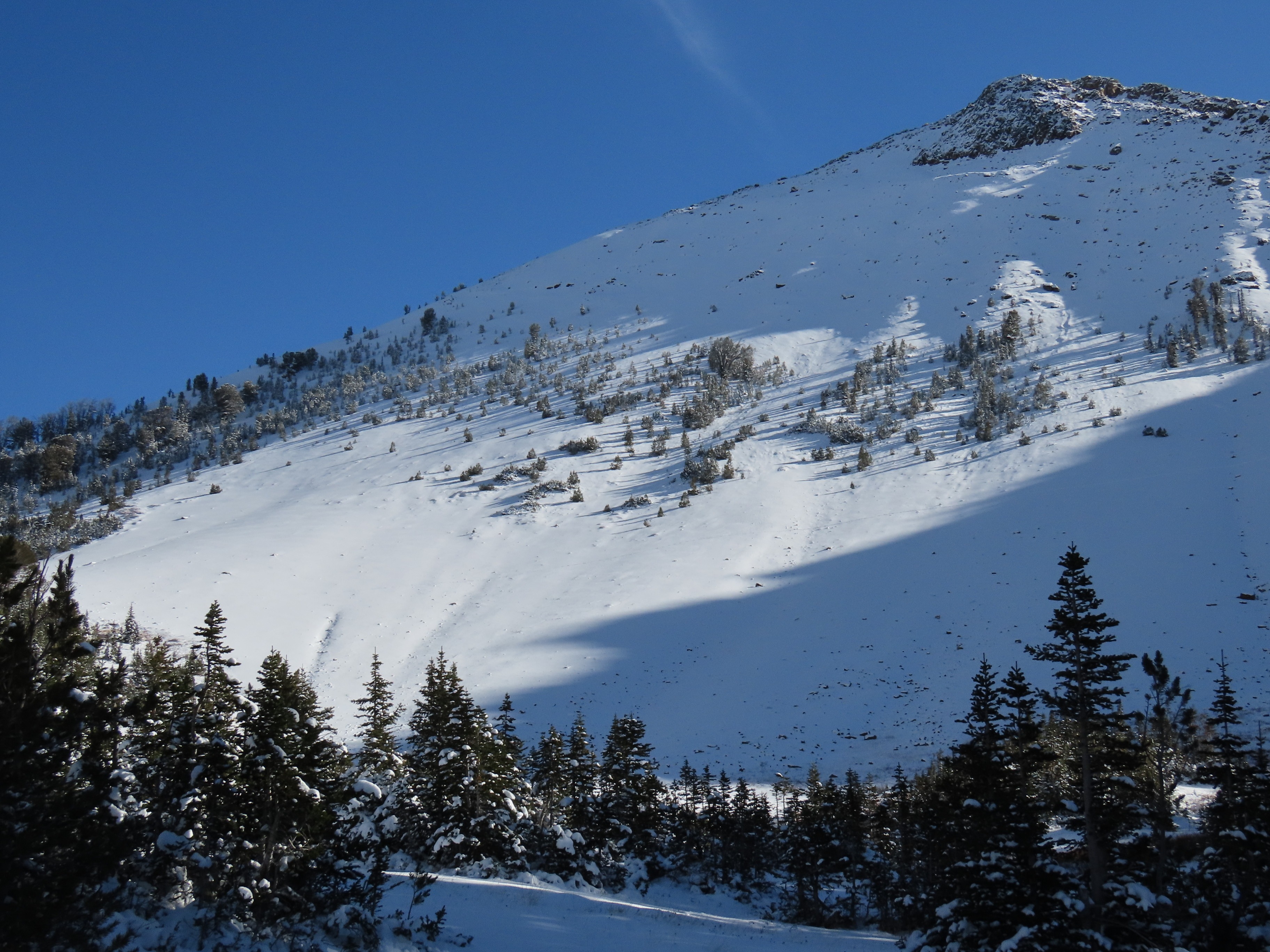
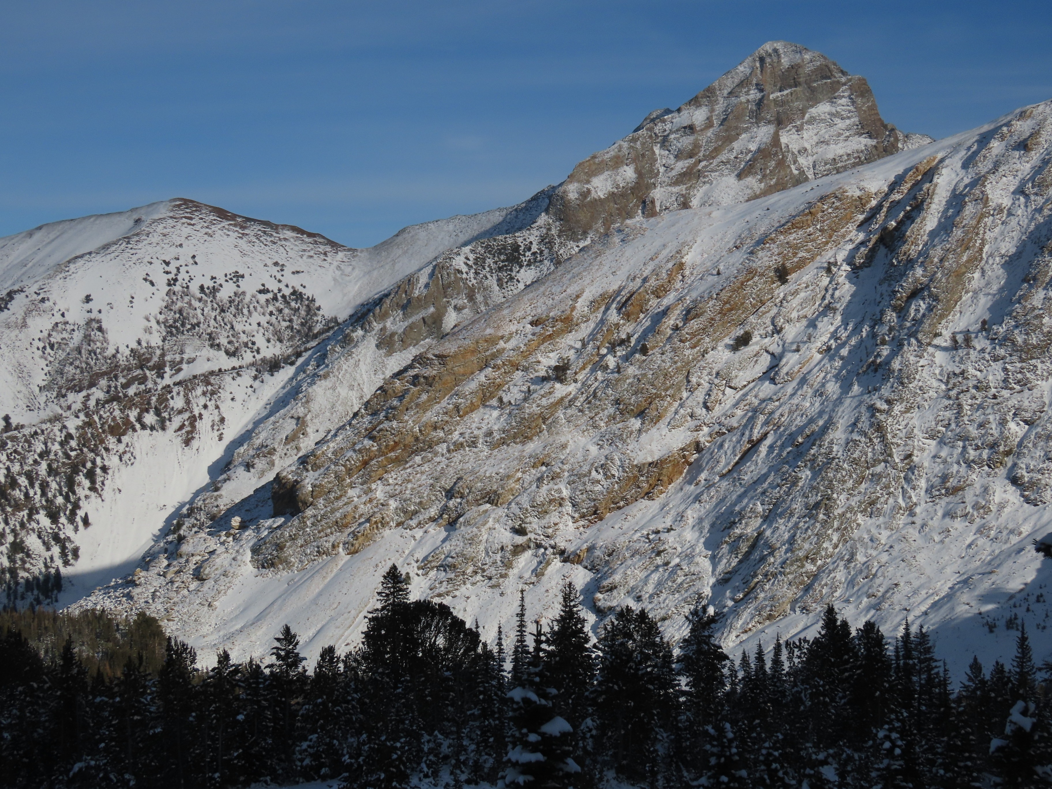
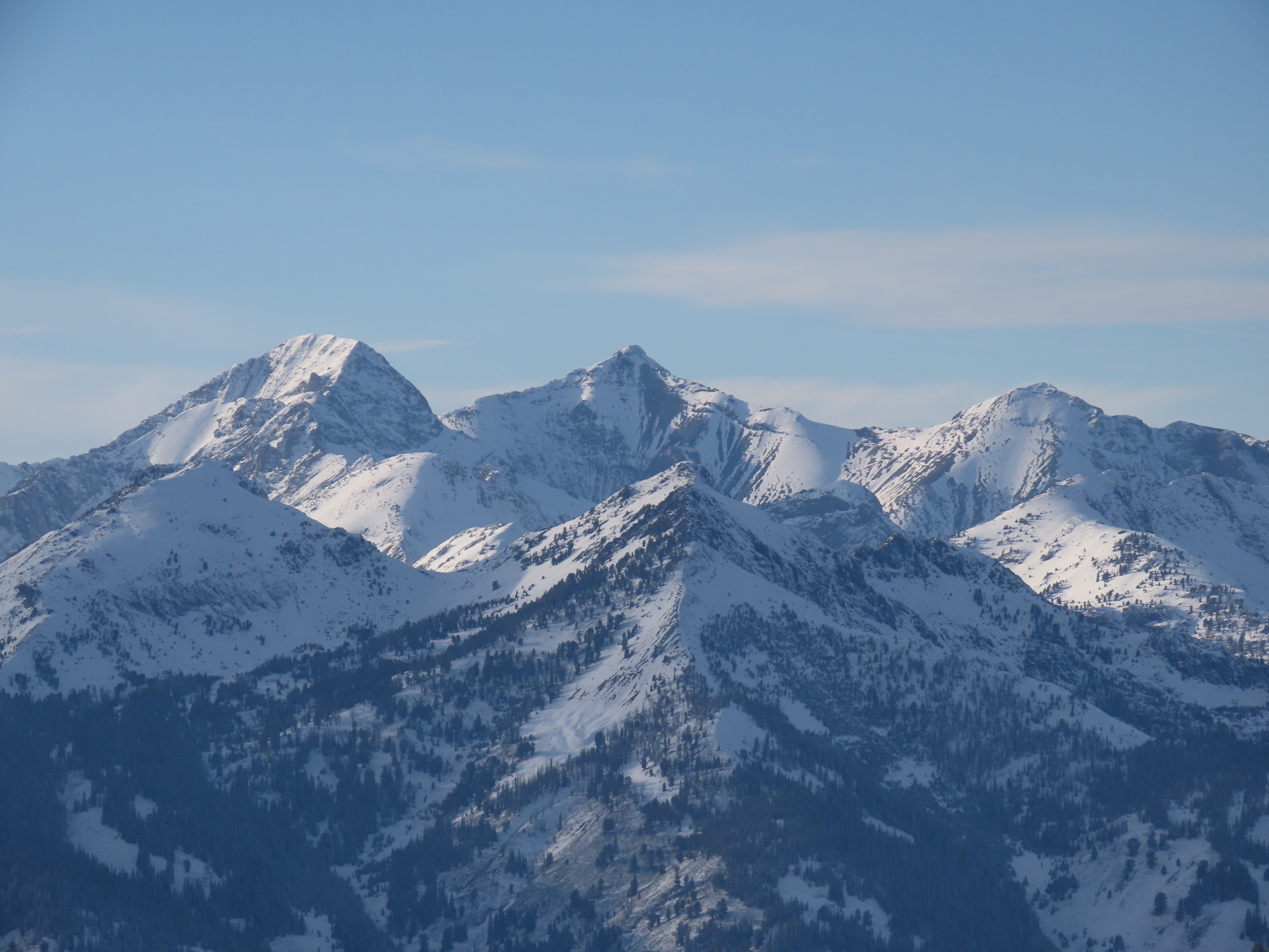
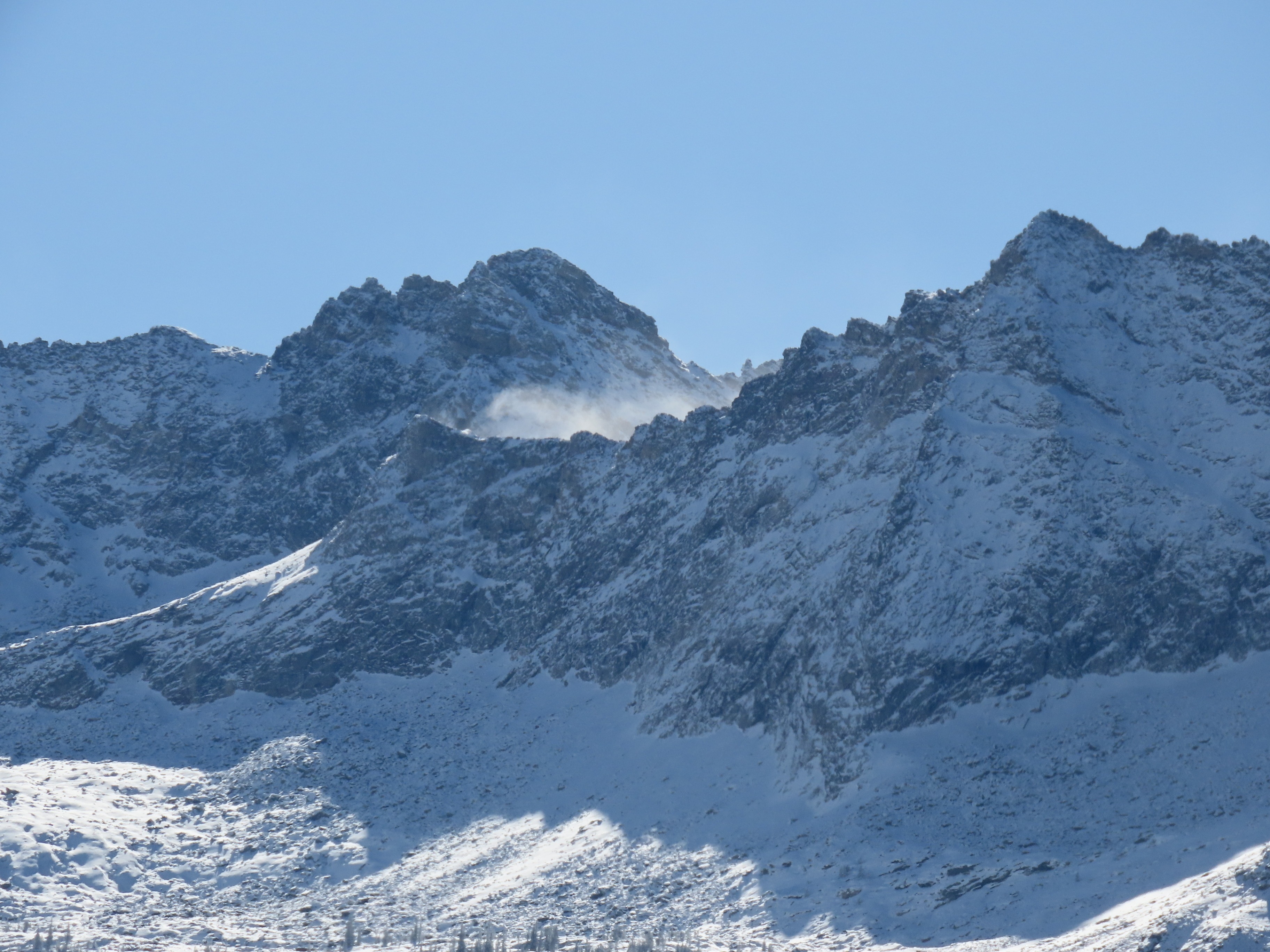
Snow distribution observed was very similar to that described in the previous day's observation from nearby, a bit more snow here near the crest of the range. The snow is undergoing significant faceting thanks to the steep gradients present (warm, moist ground and cold air). On shaded slopes, I found very weak faceted snow. On steep slopes on the solar margins (E-SE, W-WSW) I found quite a bit of radiation recrystallization crust+facet combos at the surface. These formed during the sunny days following the 10/24 storm. I also found a spotty distribution of small surface hoar in places. If we had widespread snow coverage right now, this would make for an excellent weak layer. However, in most locations there isn't nearly enough snow on the ground to cover local variations in terrain (ie, to fill in the gaps between the rocks and stumps and sagebrush). Slopes that were holding some snow prior to 10/24 and that have recent snow on top (largely NE-N-NNW, above ~9,500') could be a bit touchy if loaded rapidly with a slab.