
Quick report
While electing to stay out of very steep (>45 degree), rocky, well-connected large alpine faces, I mostly traveled as if unconcerned about the persistent slab problem. Surficial issues were my primary concern, though our current round of wind slabs largely proved to be stubborn to unreactive. Wet snow issues came into play later in the day. Heading into Sunday/Monday, there is enough SAFT to build new wind slabs in the alpine this weekend before wet issues become more of a concern during the day Monday.
I traveled through miles of large, alpine terrain and did not observe any cracking or collapsing.Weather
- Cloud Cover
- overcast
- Wind Loading
- previous
- Rain Elevation
- 7900'
- Recent Snowfall
- 12-17
- Snow Avail For Transport
- moderate amounts
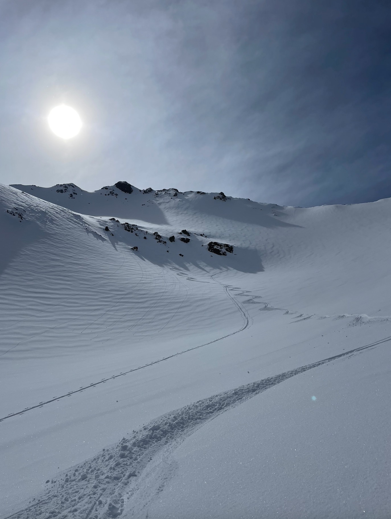
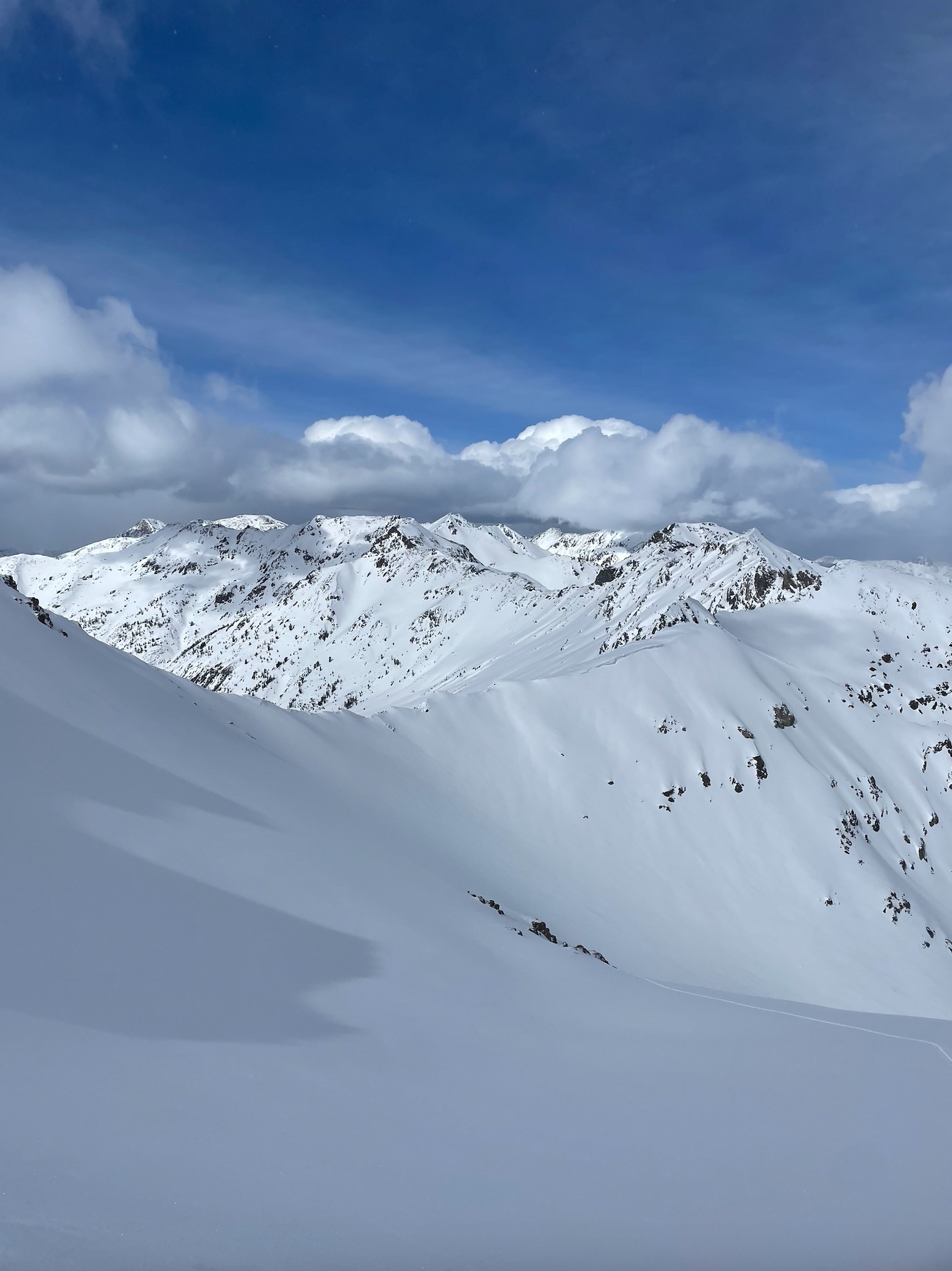
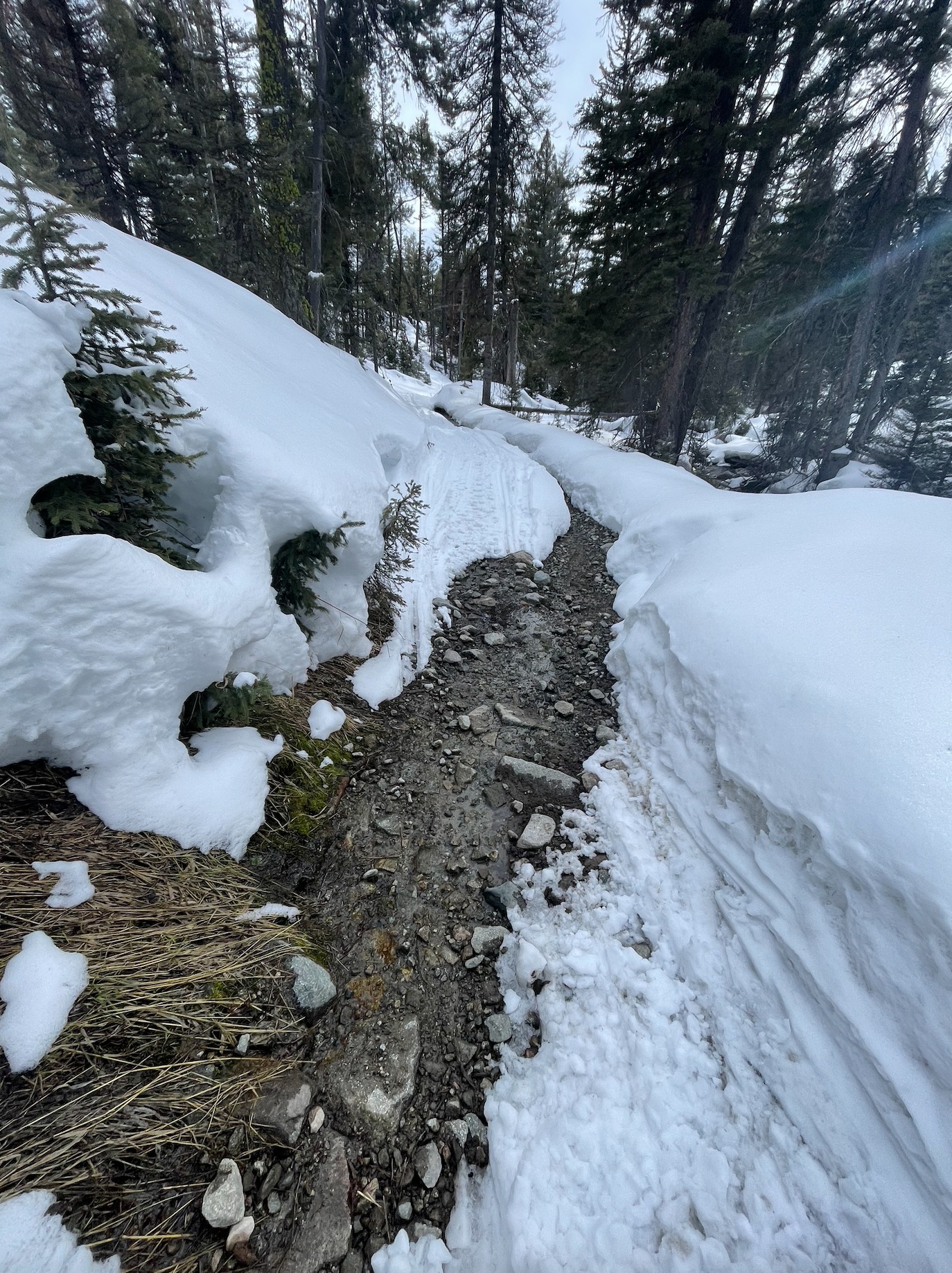
Leaving the truck close to 11:00 @6600', intermittent light rain and overcast skies (OVC) welcomed me up Boulder Creek until transitioning consistently to snow near 8000'. This light snow (S-1 to S1) was steady throughout most of the tour until 16:00, occasionally increasing to S2. Cloud cover increased to a whiteout (OBS) near 9200', with visibility decreasing to about 40-60'. Winds were mostly calm, with occasional light gusts at high ridgelines in the afternoon. As I made my way up to my high point around 16:00, cloud cover significantly decreased to broken (BKN) with blue sky and some surrounding peaks visible. Temperatures were warm enough throughout the entire tour to have me in base layers despite the precipitation and cloud cover. Springtime is here and the full gamut of weather conditions can make an appearance each day, from snowing in the low-vis milk bottle to sunny blue skies causing wet issues. Be prepared for things to change quickly and enjoy the ride.
Snowpack
12-17cm of new snow overlaid varying types of crusts above 9000' from aerated and grippy to slick, firm, and icy. Slopes were clearly wind-textured above 9000' from winds in recent days, however slab formation was minimal in the miles of terrain I traveled and surfaces were soft on N & E aspects. Despite being in the clouds (OVC/OBS) for the entire day until the late afternoon, surficial wet loose problems were a concern even on colder aspects late in the day with the ability to push around moist snow.
Near 11,000', there was 10-12cm of fresh snow on top of a crust on the SW side of the ridge, with 20-25cm of light fresh snow on the NE side — telling the story of wind transport in recent days. While wind slabs were a concern I kept in mind throughout my travels, they largely felt unreactive in large, well-connected alpine terrain and I traveled as such. While things got warm enough, particularly on a 40 degree SE slope, to be able to be concerned about wet loose issues, there still is plenty of snow for transport in the alpine. With Sunday's forecasted uptick in winds, and the warm-up scheduled for Monday, I'd suspect this new surface snow to build into both new, more reactive wind slabs during the day on Sunday and for wet issues to come to the forefront of our minds on Monday as the day warms up the surficial snow.
Avalanche
- Size
- D2
- Count
- 2
- Aspect
- SE
- Trigger
- N
- Elevation
- 8500 ft
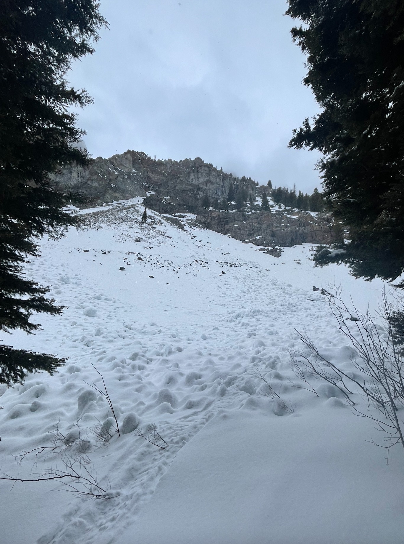
On a clearly wind-loaded convexity near 10,400' on a NE slope, I was able to ski cut and intentionally trigger a D1.5 wind slab that ran 15-17cm deep. This being said, I traveled through miles and miles of alpine terrain to the high point of Boulder Basin that had been wind loaded in previous days and did not so much as get surficial cracking in most locations. Any near surface instabilities related to the wind felt stubborn to unreactive, and this was the one place I could try to trigger a significant wind slab with obvious surface texturing. There were 2 old large (D2) wet avalanches on SE aspects near 8500' that likely ran during our warm-up over a week ago, along with a large cornice fall that did not trigger an avalanche.