
Mores creek
Quick report
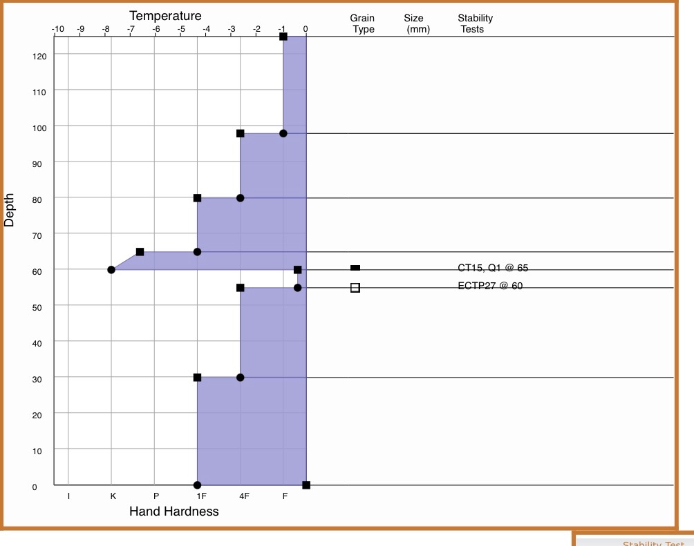
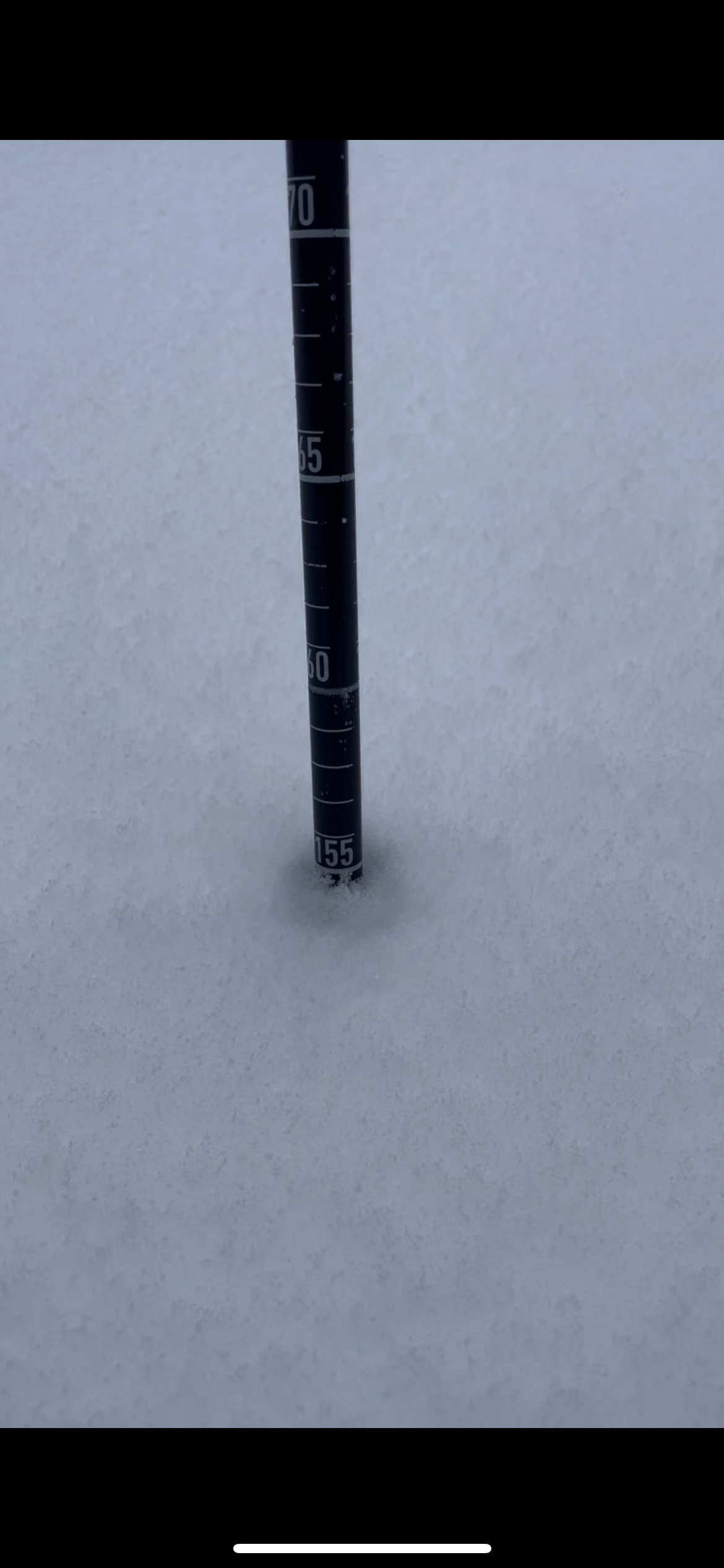
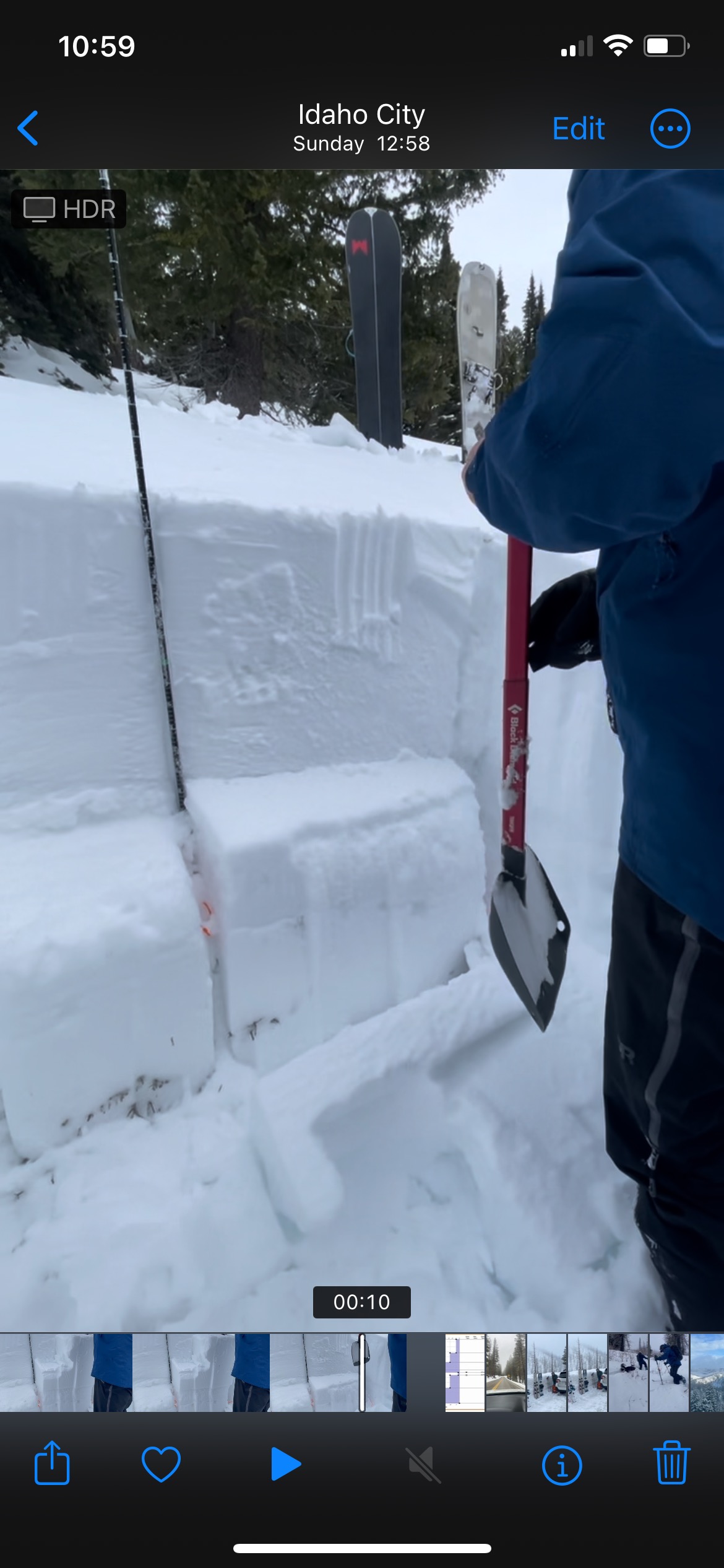
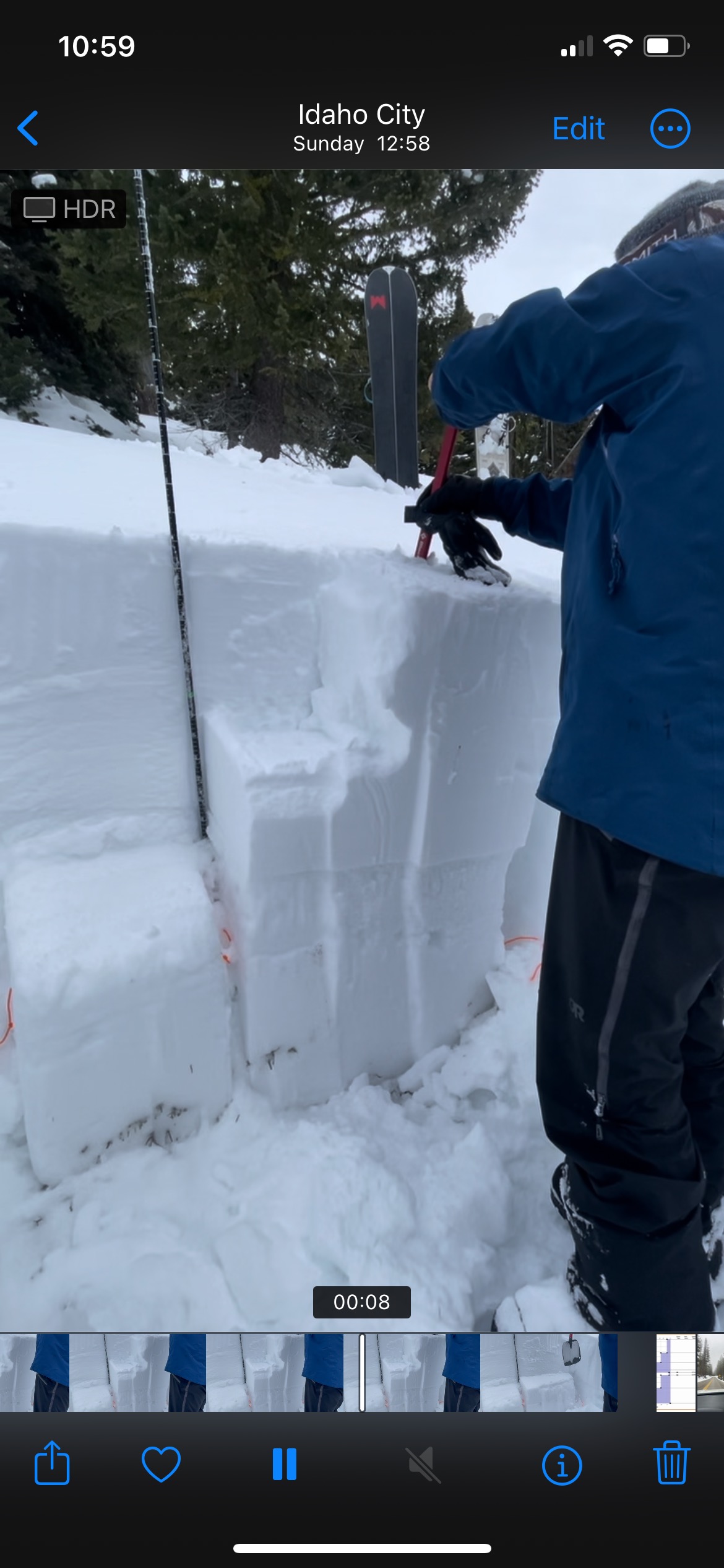
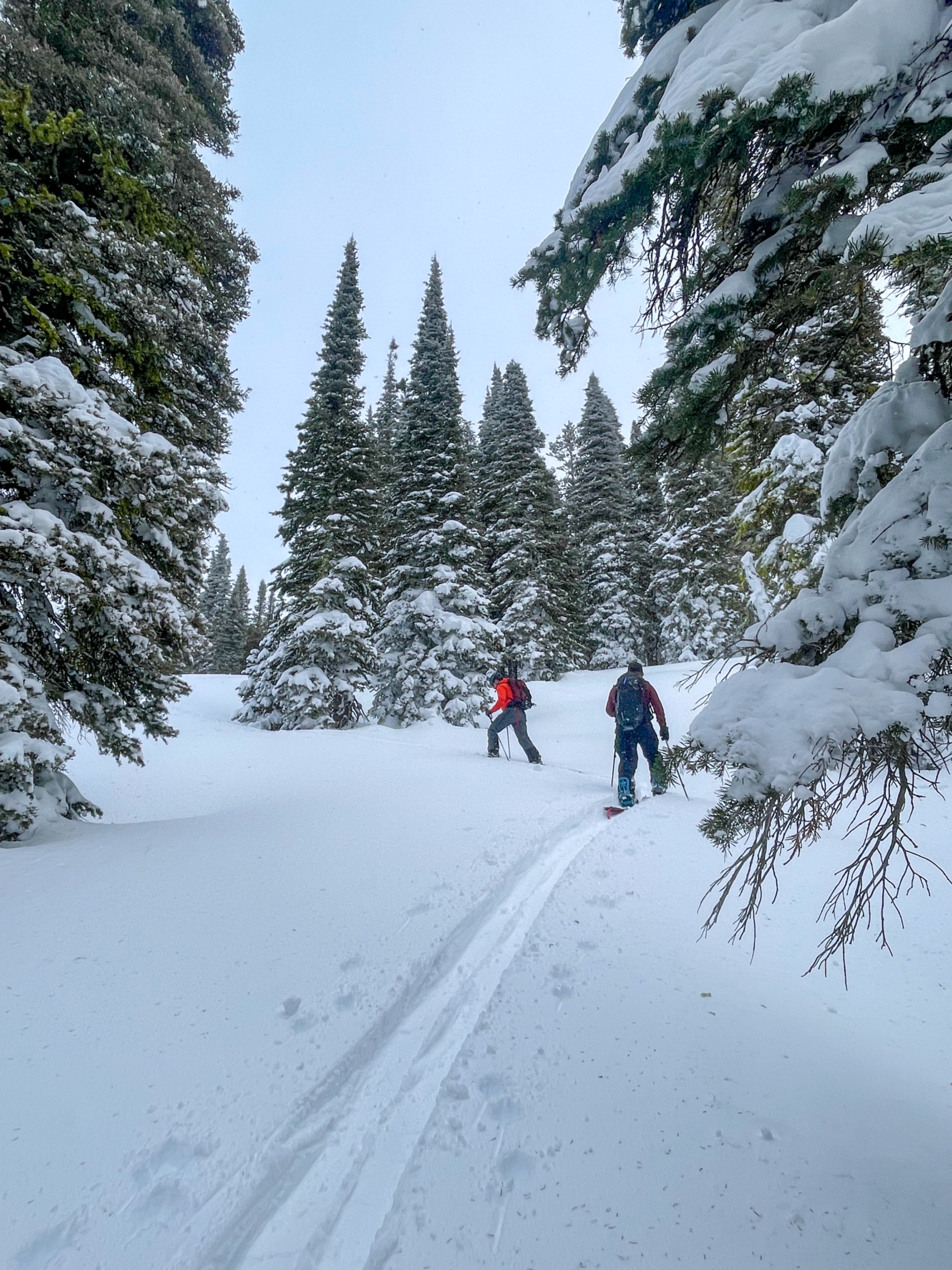
Posting this for a zone that doesn’t get much in terms of observations or forecasts. Directly between the sawtooth avy forecast area and the payette forecast area, this zone does not have a daily forecast. Hopefully some people find this helpful as it seems alot of the demographic that tours and explores this area do so without as much knowledge or information of snowpack concerns as neighboring areas. The day after this tour we were back up in this area and passed by two young guys hiking / post hiking up about 1,000 feet above the parking lot. They were on there way into a terrain trap gully looking for a “perfect Christmas tree” we checked for transceiver signals and found they did not have any gear on them at all except for a wood saw. We suggested to them that they follow our skin track back down the ridge and to stay out of the gully. We told them that there was a risk for avalanches and that the gully they were heading towards was a terrain trap where avalanches were more likely to be triggered and that an escape route was more difficult to access. We went up to around 8,000 feet to check out the snow before the next big storm that’s coming in today. Found average HS of 155 and 145 in areas on that elevation. Down around 7,000 HS was 130cm. As of 12/23 there is a hearty 5cm sun crust on most sun aspects. Below that there is a well bonded slab that is about ~ 50 cm sitting on top of a melt freeze crust, which sits on top of a large bed of buried facets. We dug a pit at 7600 and found that same scary layer we are seeing just about every where down at 65cm just above the melt freeze crust. We got a CT of 15 on that interface between the crust and the slab. And with some more pressure we also got an ECTP 27 that broke 5 cm further down when the crust collapsed on the large bed of facets it’s resting on. We are suspecting with this new storm bringing upwards of 3 feet of new snow that these layers continue to get buried and slowly become less of a concern. While Touring and riding we did not see any signs of weakness or collapsing. The temps were quite high this week in this zone causing a big warming trend of the snow pack. Very wet snow made the whole upper 12-15” of the snow pack super heavy. Riding was difficult and setting a skin track was even worse . We noticed the moisture had seemed fairly deep into the snowpack after 3-5 days of warm temps. With this new storm coming in they are predicting up to 44” of new snow for this area in 3 days. I would expect to see natural avalanches just like we saw after the last large storm system here. The sun crust will cause some concern as well with the new storm slab on top.