
Quick report
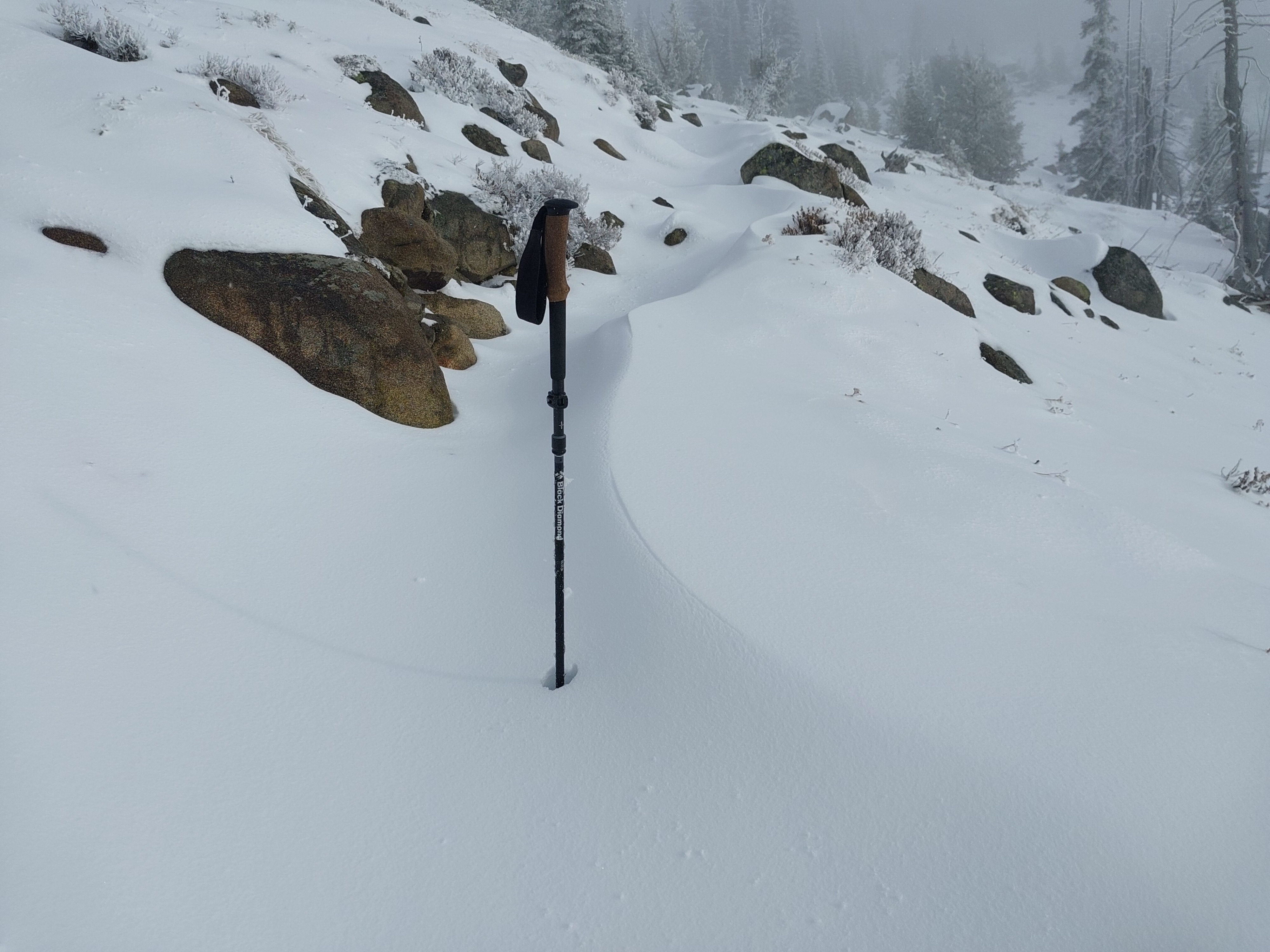
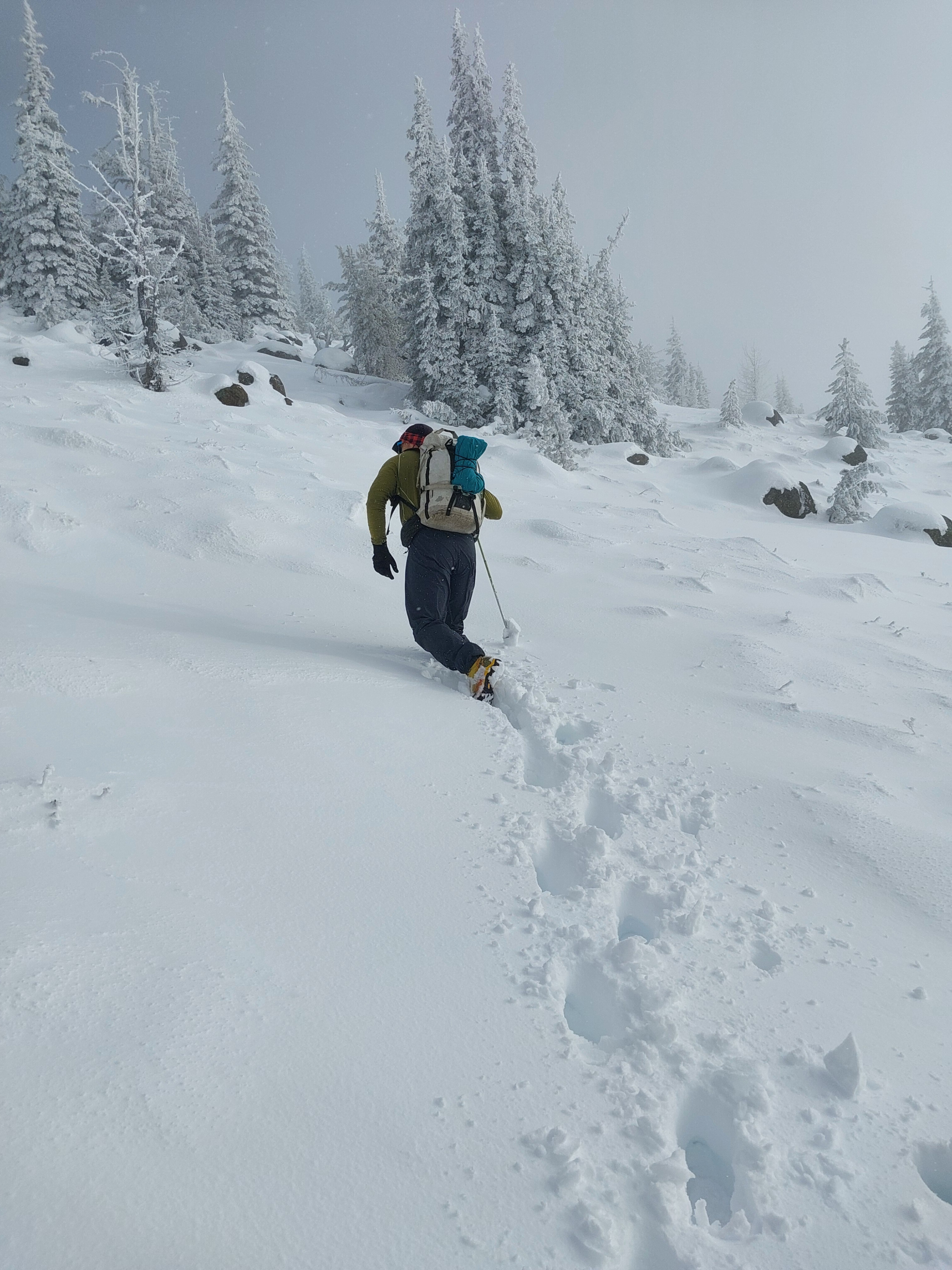
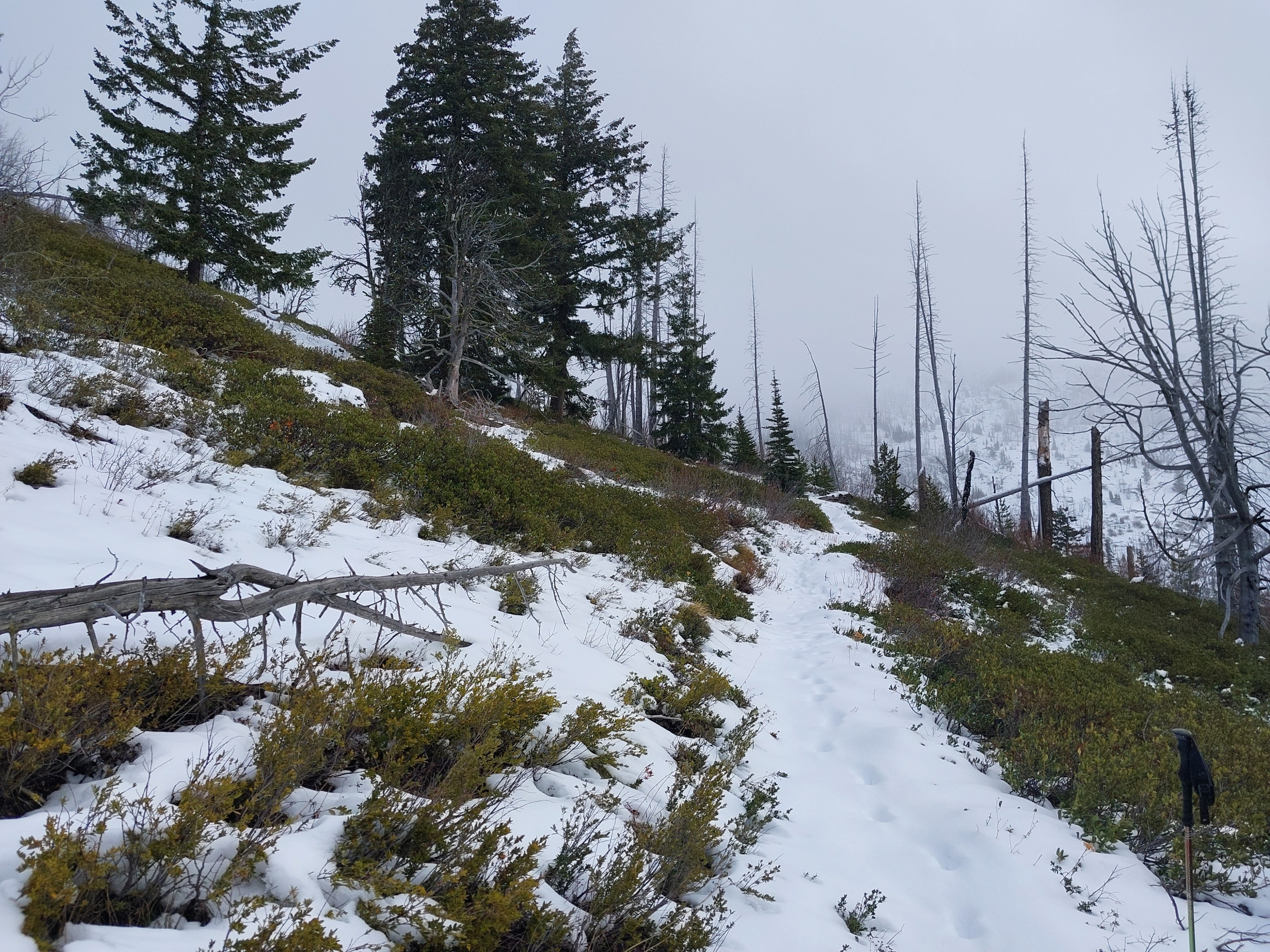
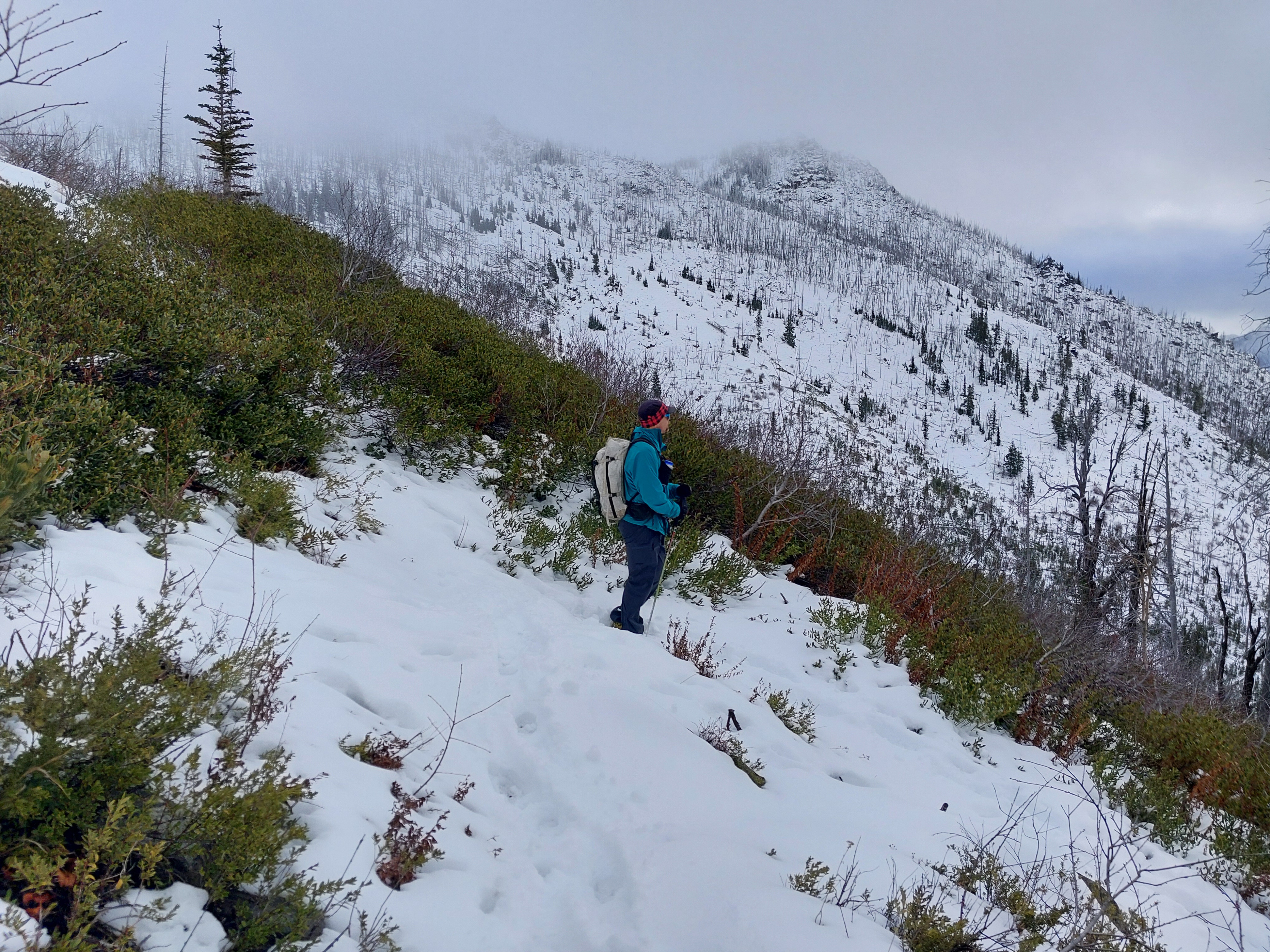
Went to upper elevations to assess snow cover. We found insufficient coverage for avalanche danger below 6,000ft. Even at the highest elevations, the snowpack was mostly 1 foot deep, with patches up to 2 feet, and was mostly recent snow from late November.
Weather
- Cloud Cover
- obscured
- Wind Loading
- light
- Recent Snowfall
- 0
- Snow Avail For Transport
- small smounts
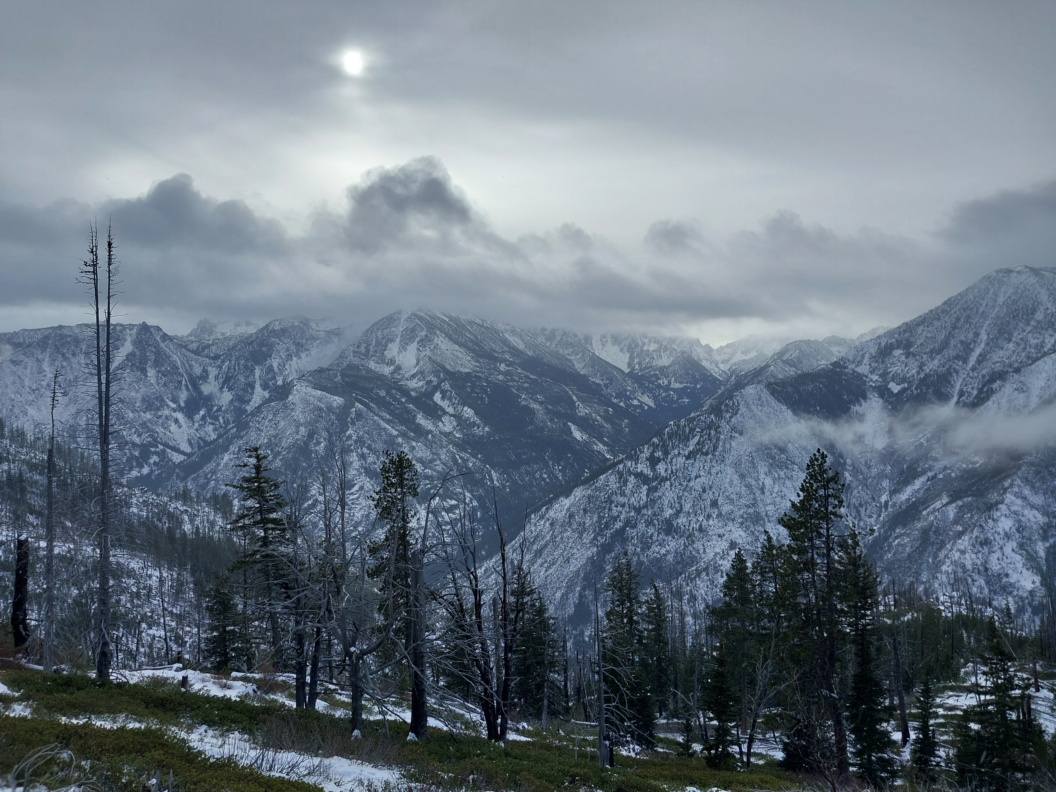
Cool and blustery with moderate northwest wind. Mostly obscured skies with cloud levels at 6500ft. Occasional periods of broken clouds and patches of blue sky until 2:30p. Minimal precipitation until 3p, then light snow/rain mix.
Snowpack
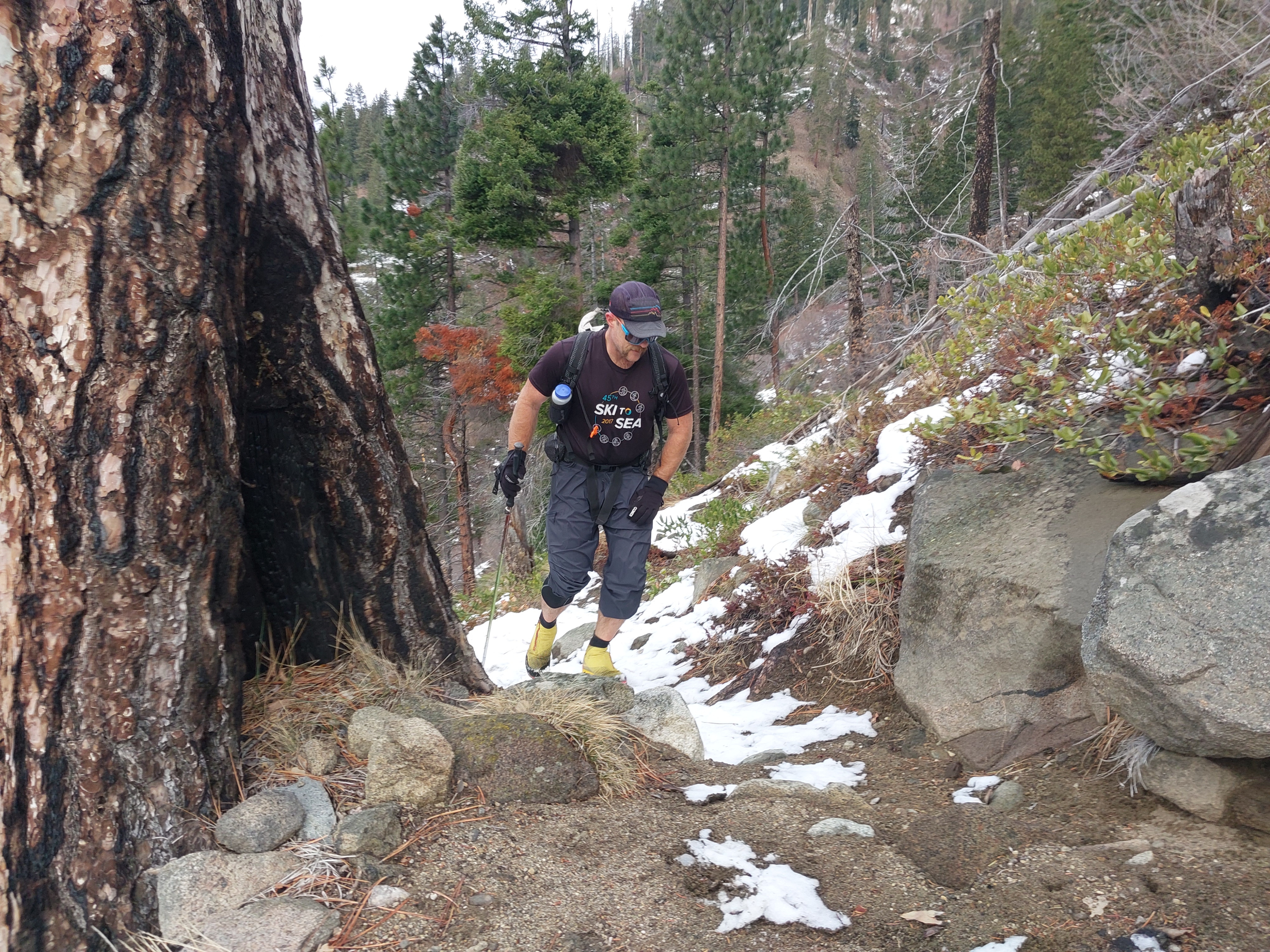
There's not much snow or layering to speak of. At 5,500ft W-SW, HS 20cm and the snow was discontinuous with rocks and bushes sticking up. Below this elevation, there was only patchy snow and areas of bare ground.
At 6,800ft in flat terrain HS 25cm. The snow was moist and consisted primarily of accumulation from 11/25-27. I found very small drifts around rocks and trees. On the ridge, I found select deeper areas with HS 56cm, where the recent snow was on older preserved drifts. In these areas, there were essentially two layers: 26cm of moist rounded grains (4F+ hard) resting on 30cm of frozen melt forms (K- hard).