
Quick report
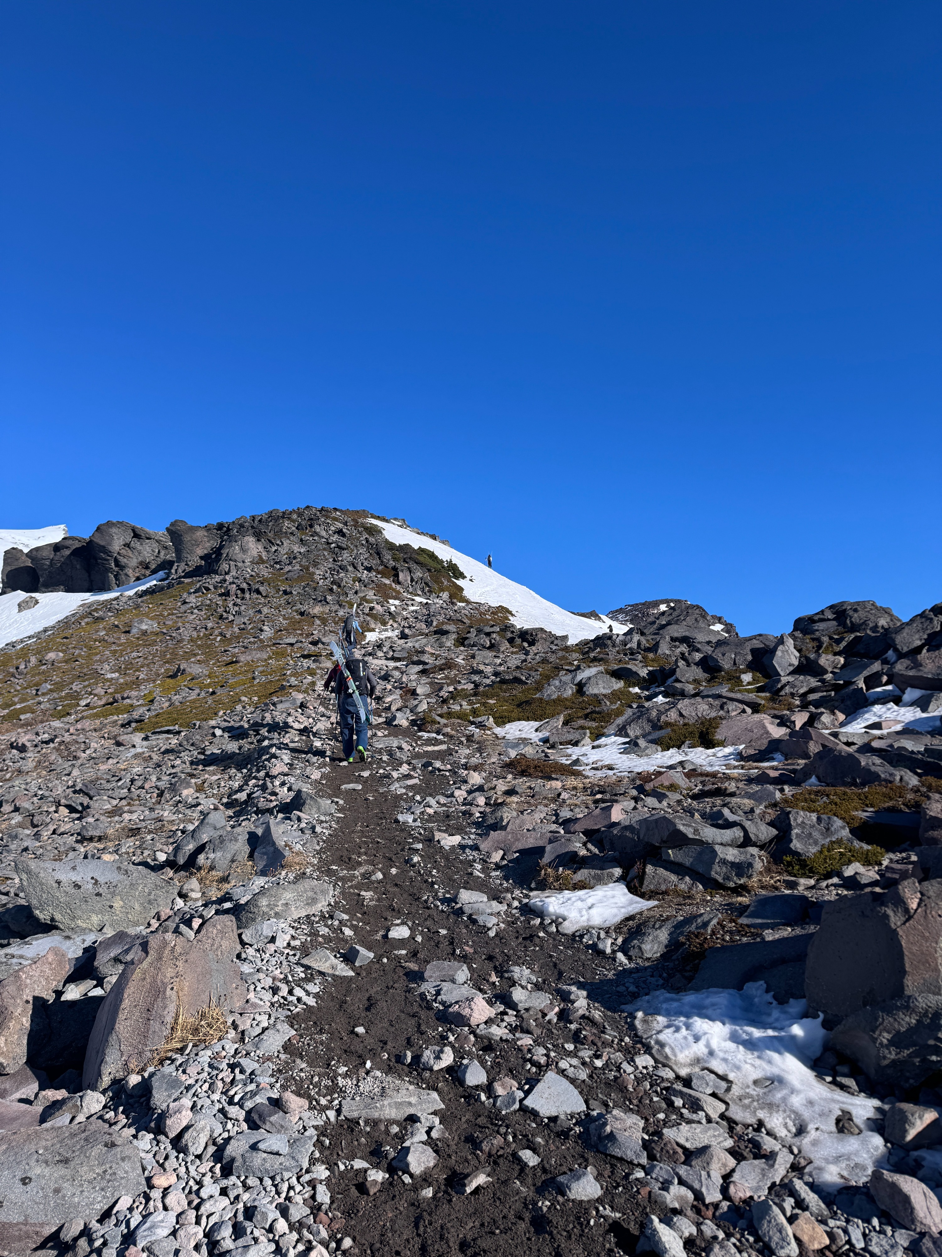
You could easily have convinced us it was late May. Sunshine, warm temperatures, a thinning snowpack, and spring snow... Not exactly what we normally think of in mid-January. The repeated melt-freeze cycles this week have really limited the avalanche danger. There just wasn't much left to fall down. Cornices are trimmed back, rocks are mostly bare, and the snow surface is frozen for much of the day. While we found a few older wet slabs, they looked like they failed mid-week. Despite our best efforts, we couldn't get any snow moving, even on very steep slopes during the warmest part of the day.
No cracking or collapsing notedWeather
- Air Temp
- 45
- Cloud Cover
- clear
- Wind Loading
- none
- Recent Snowfall
- 0
- Snow Avail For Transport
- none
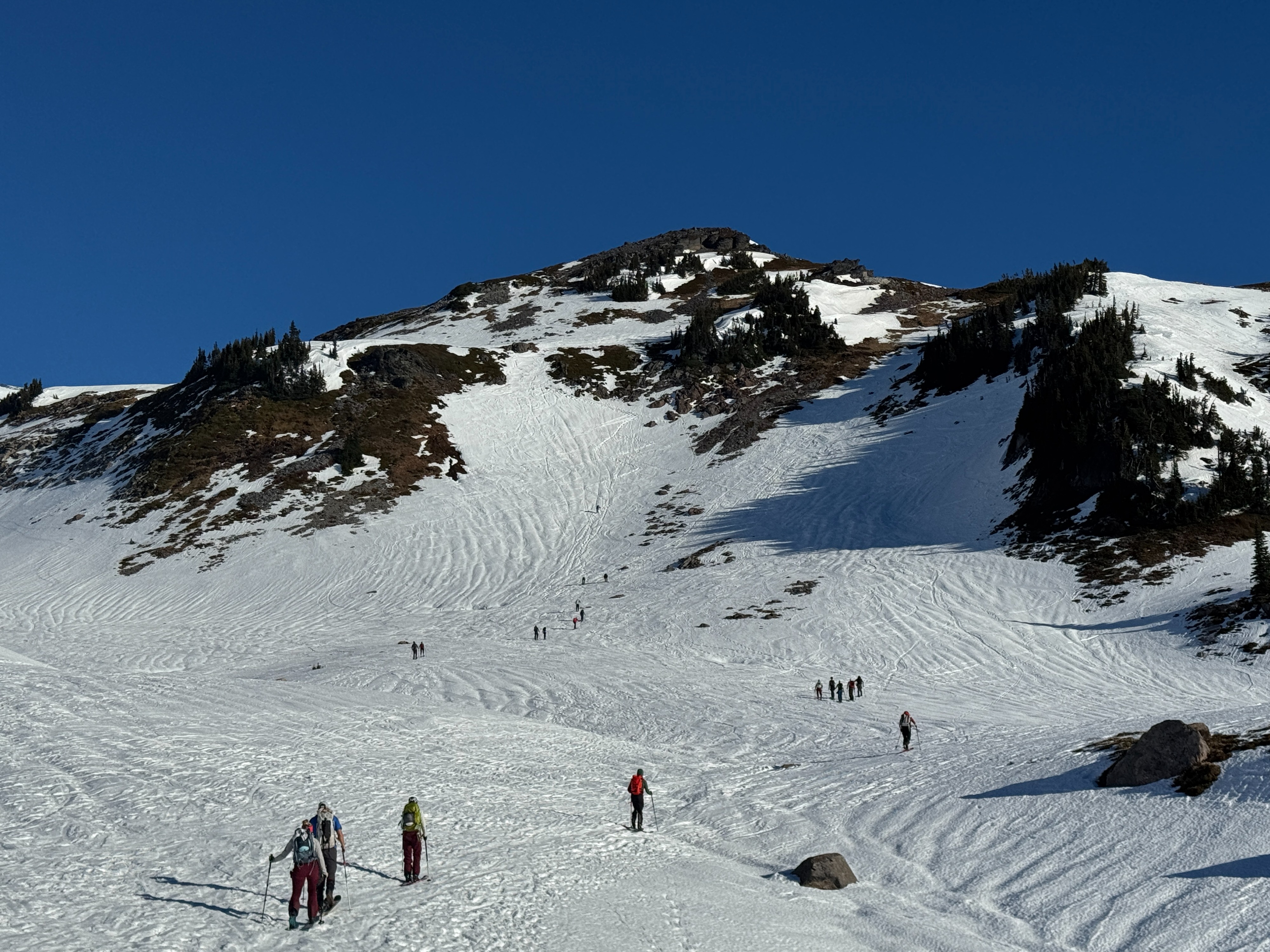
Gorgeous day up on Mt Rainier. Cool northeast winds kept surfaces slightly firmer and made temperatures feel colder despite the hot weather.
Snowpack
Clear skies at night continue to allow radiational cooling, causing the snow surface to freeze despite above-freezing air temperatures. The surface quickly began to soften on steep sunny slopes in the morning. A cool NE breeze kept some slopes firmer longer, despite the warm temperatures and sunshine. Slopes in the shade stayed frozen all day.
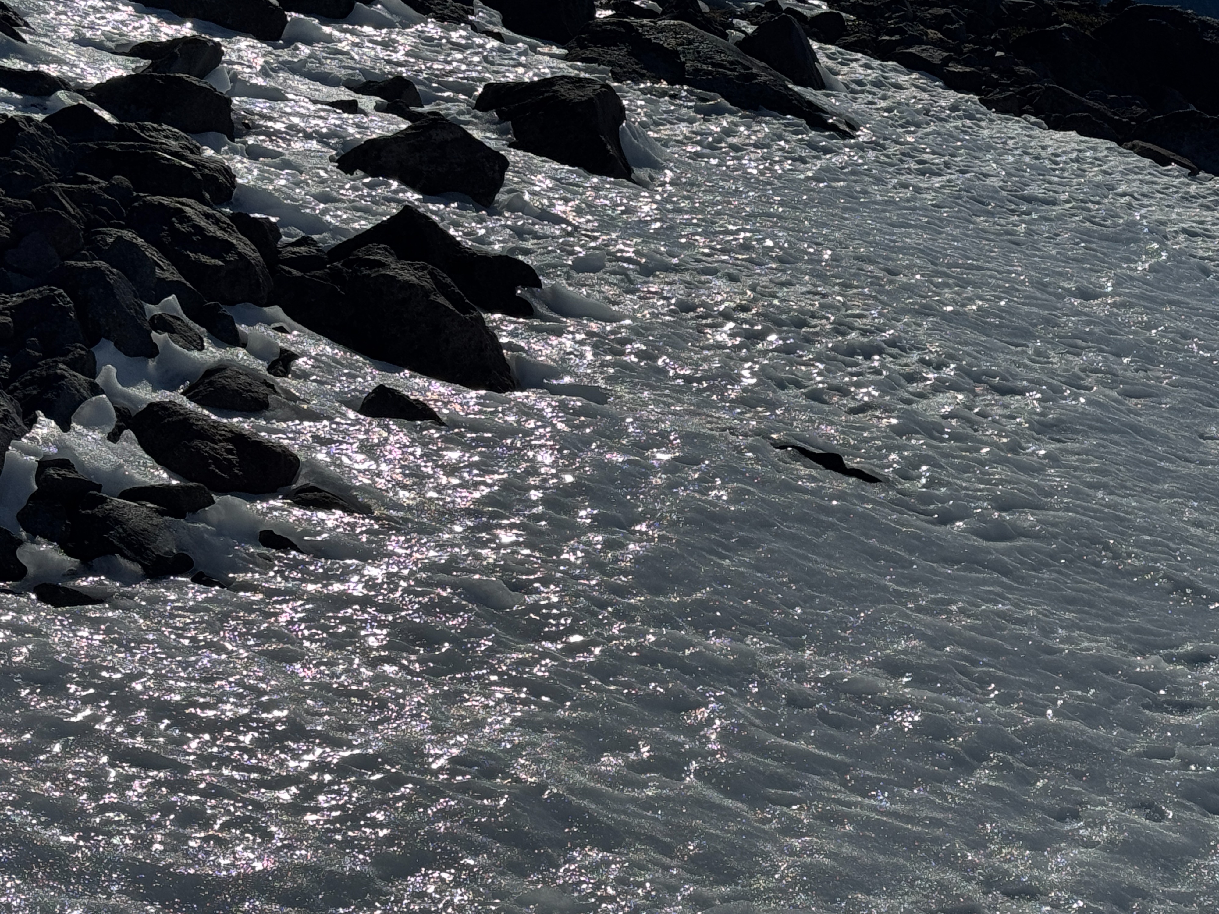
The surface crust was highly variable. In someplaces it was icy, in others soft and punchy, in most, it was somewhere in between. In general, our observations found it to be boot and ski supportable, and about 6-8 inches (15-20cm) thick.
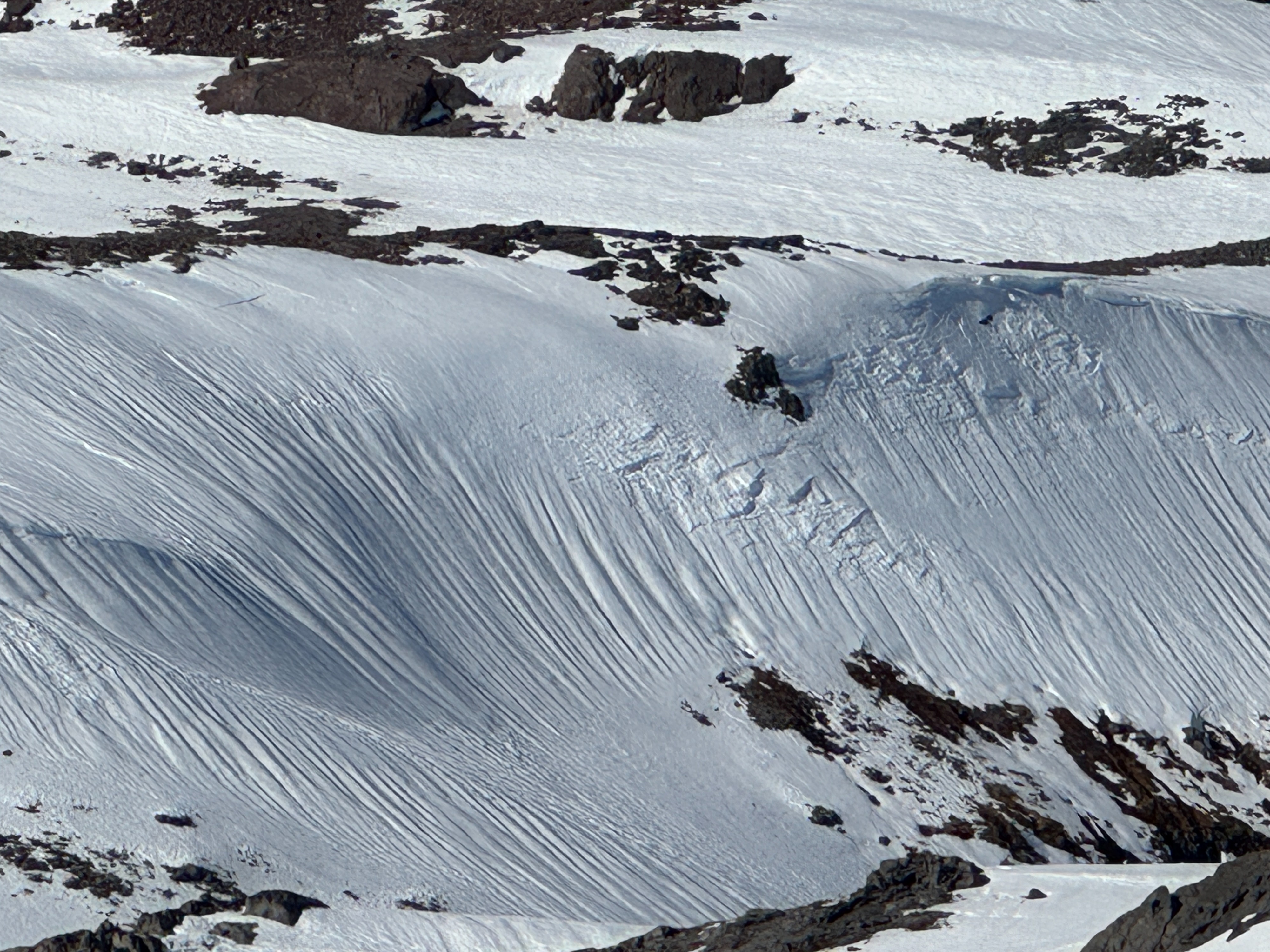
The rain from last weekend's atmospheric rivers left runnelled snow surfaces on nearly every slope. This often made for bumpy travel. However, once sunny slopes softened, they provided smooth, fun travel for sliders.
Despite the warm and sunny weather, it doesn't appear that the snowpack has transitioned to spring. Dry, rounded grains were found just below the surface on a southerly aspect. In shaded terrain, a thinner surface crust also capped cold, dry snow. So, it may look and feel like spring, but the snowpack hasn't completely joined the theme.
Avalanche
- Size
- D2 R2
- Type
- WS
- Aspect
- SE
- Trigger
- N
- Elevation
- 6200 ft
Several older wet slab avalanches were observed. These likely occured mid week.