
Quick report
We're moving towards a strong spring cycle, with a solid freeze overnight and plenty of softening during the day. The good news is that crampons and ice axes weren't needed- snow remained grippy, although I stayed off very steep slopes. Also, the stout crust that formed overnight on east, south and west aspects stayed supportable-mainly. It remained fully supportable on steep south-facing slopes, and was punchy at times on off-south aspects, where snow hasn't transitioned to spring conditions as much yet.
There was no new avalanche activity- only signs of older avalanches from the initial warmup and the subsequent few days after the snow had first fallen.
Weather
- Air Temp
- 40
- Cloud Cover
- clear
- Snow Avail For Transport
- none
It was hot in the sunlight but felt cool in the shade. A slight breeze was occasionally detected- although not enough to offer any cooling for me or snow surfaces.
Snowpack
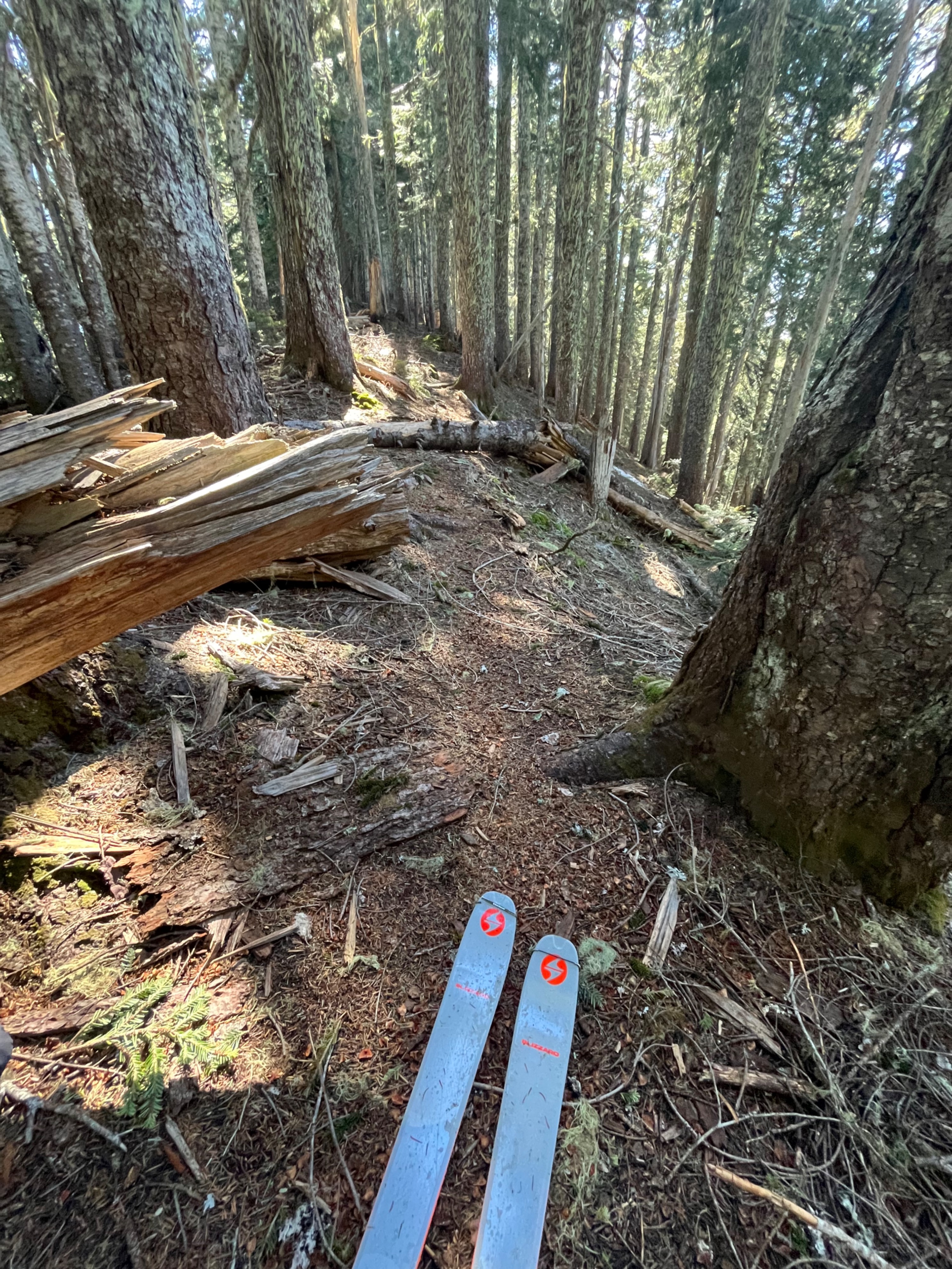
Snow began at about 3500ft, and was fairly consistent- except on southerly or heavily treed slopes- above that elevation.
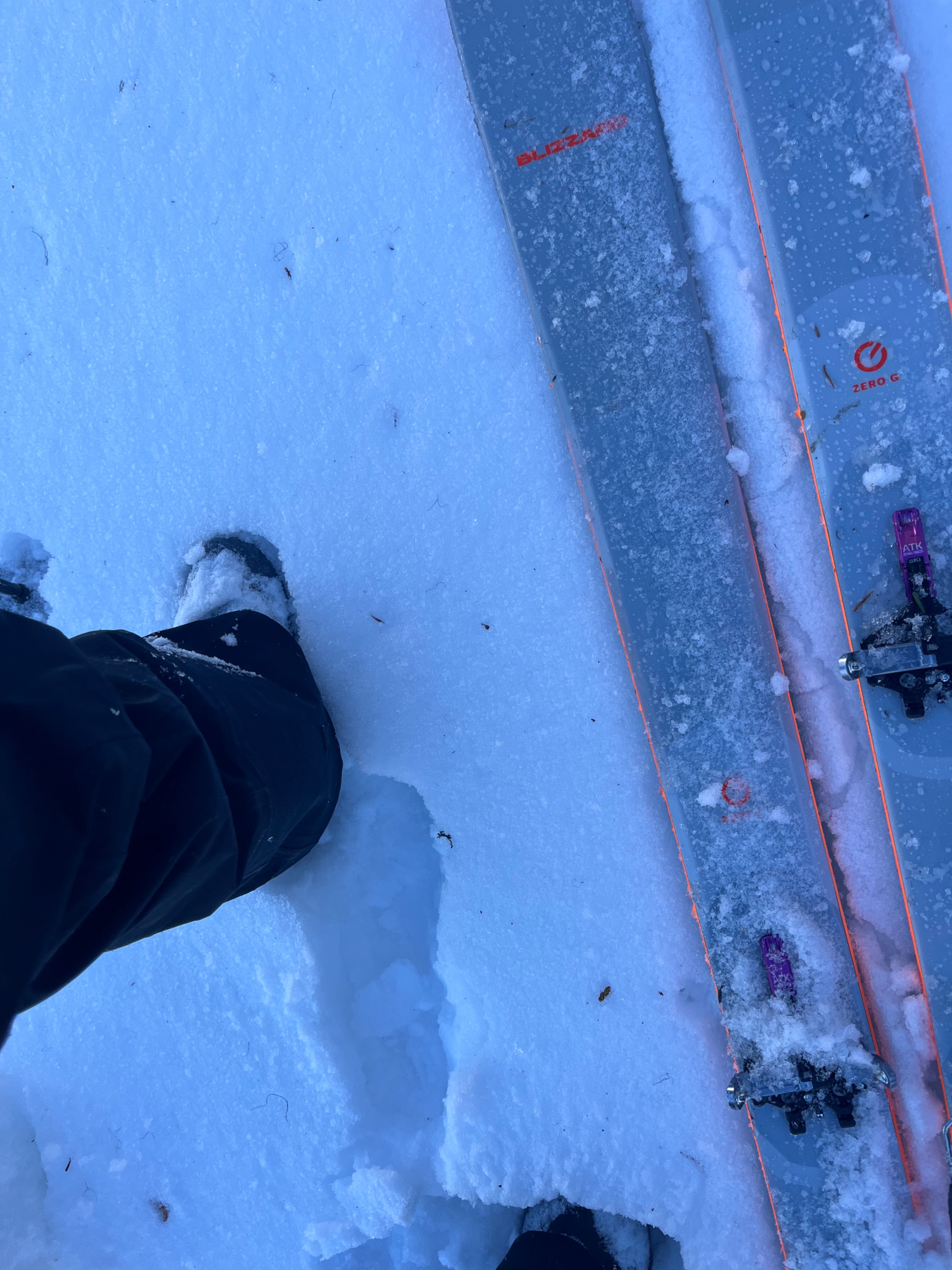
There was a solid refreeze overnight, and all surfaces were supportable on skis. In all areas, a crust was detectable beneath any snow that softened throughout the day, but this crust was soft and occasionally punchy on slopes that weren't directly south or north.
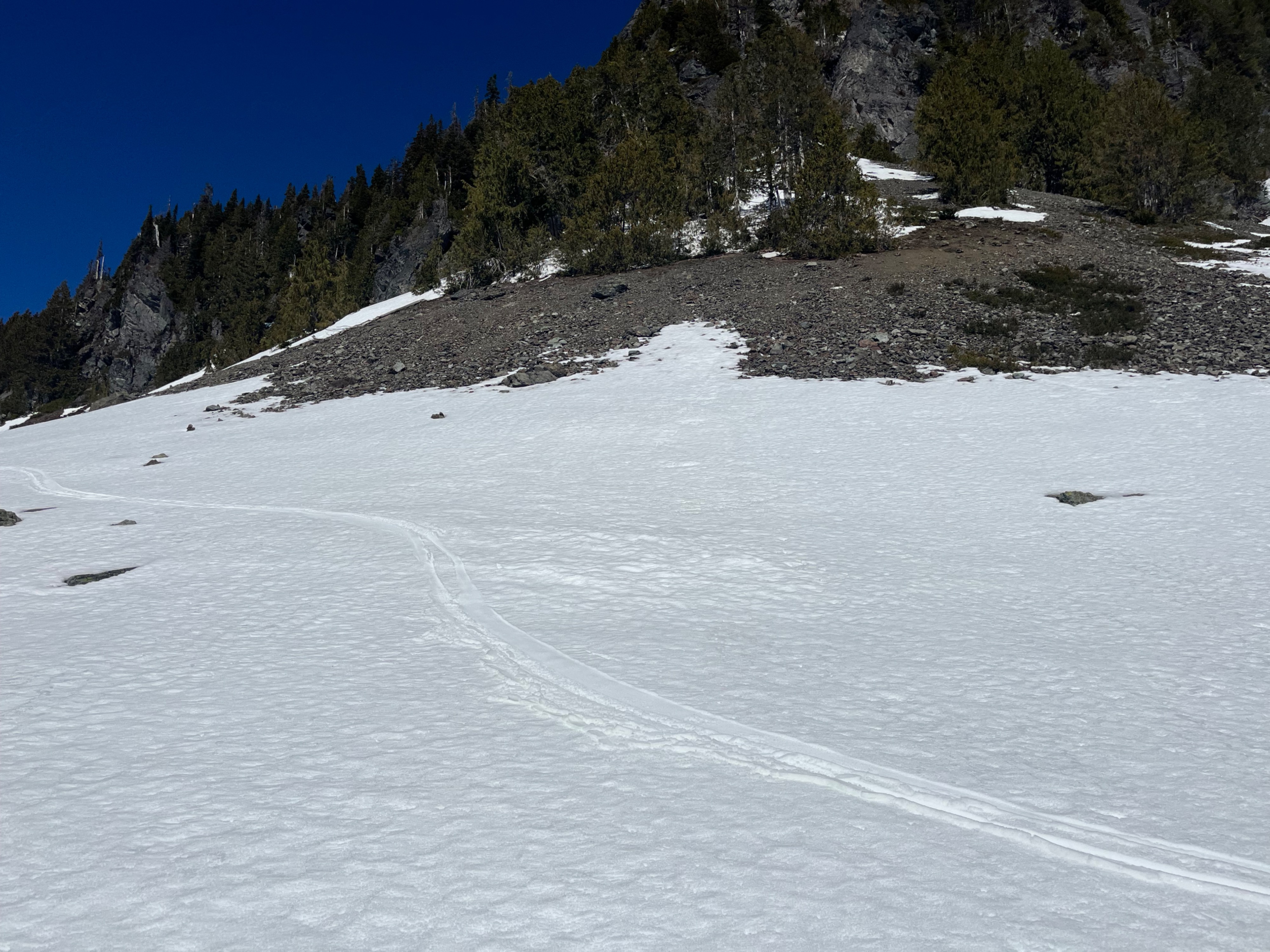
I found a 6-inch-thick hard melt freeze crust on the surface of south facing slopes- that softened a few inches on top into delightful corn during the day. Beneath this crust, any layering has become difficult to identify, and I just found moist, large-grained melt forms of similar consistency.
I hunted for cold, dry snow on shady aspects. I thought I would find some in the first north-facing pit I dug, but I was wrong. Instead, the shovel easily sliced through all layers, which were moist. I was able to detect a few different layers, visible in the pit photo, but this wasn't the cold, dry snow I was searching for.
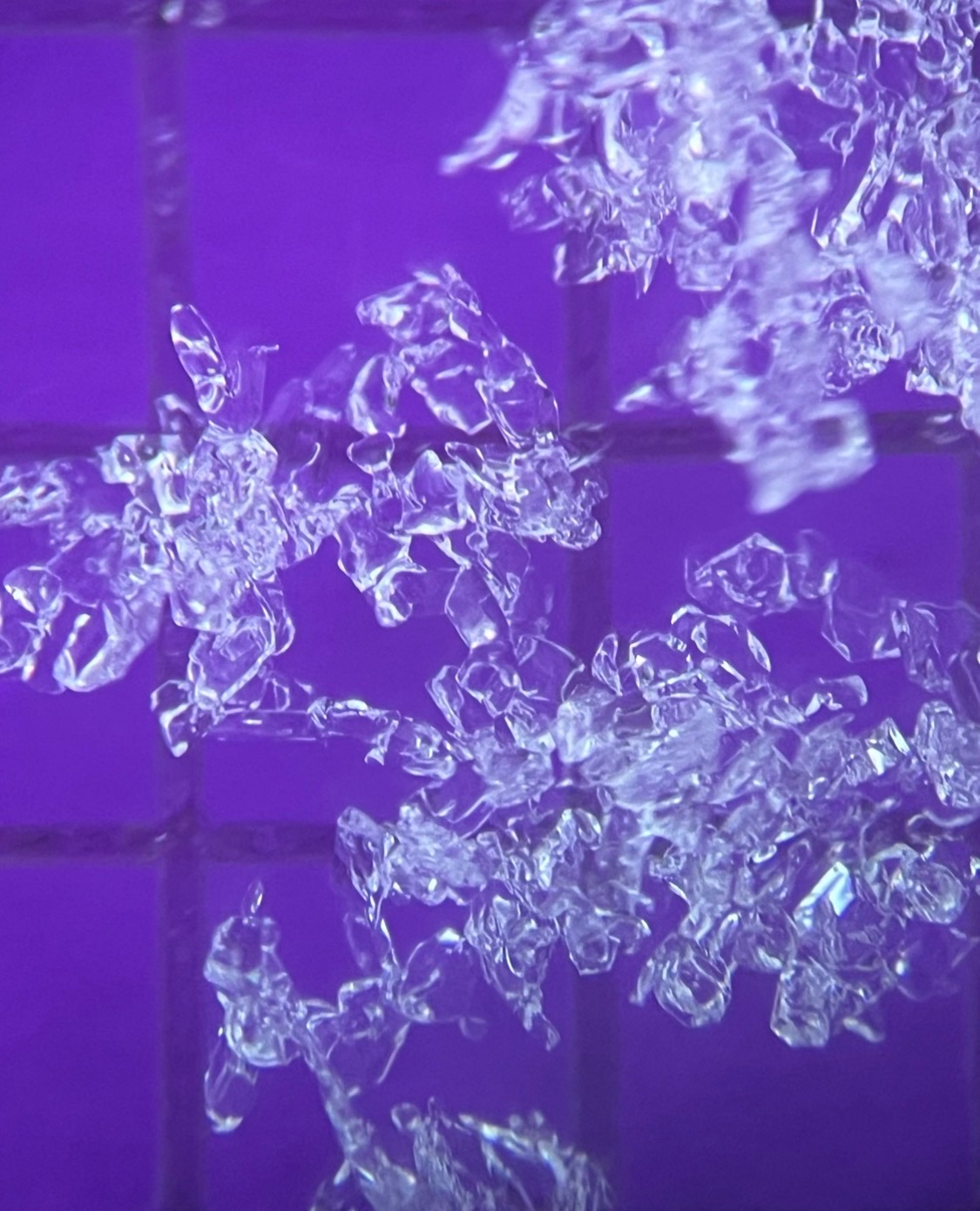
I dug again in a colder, shadier area that was a bullseye on north-facing. Here, snow was dry and cold- all of it. I found two thin crusts at the surface, the lower one likely from Thursday greenhousing (4/2). The one on the surface was likely from Friday, (4/3). There was surface hoar melted onto the top of the surface crust, and there was a little faceting detected between the two crusts. Then, rounds were present all the way down to the stout 3/25 crust, about 6" below the snow surface. Beneath this crust, there was just more hard layering: formerly moist melt forms that were now frozen solid. This dry northerly setup has a long way to go before it becomes a spring snowpack.
I hunted for avalanches, near and far, and I saw many signs of very melted out rollerballing. There were a few old small and large wet loose avalanches that likely occurred over the weekend. Thanks to the overnight freezes we've been getting, and snow impacted by the sun becoming well transitioned to corn, most wet avalanche activity appears to have backed off .