
Quick report
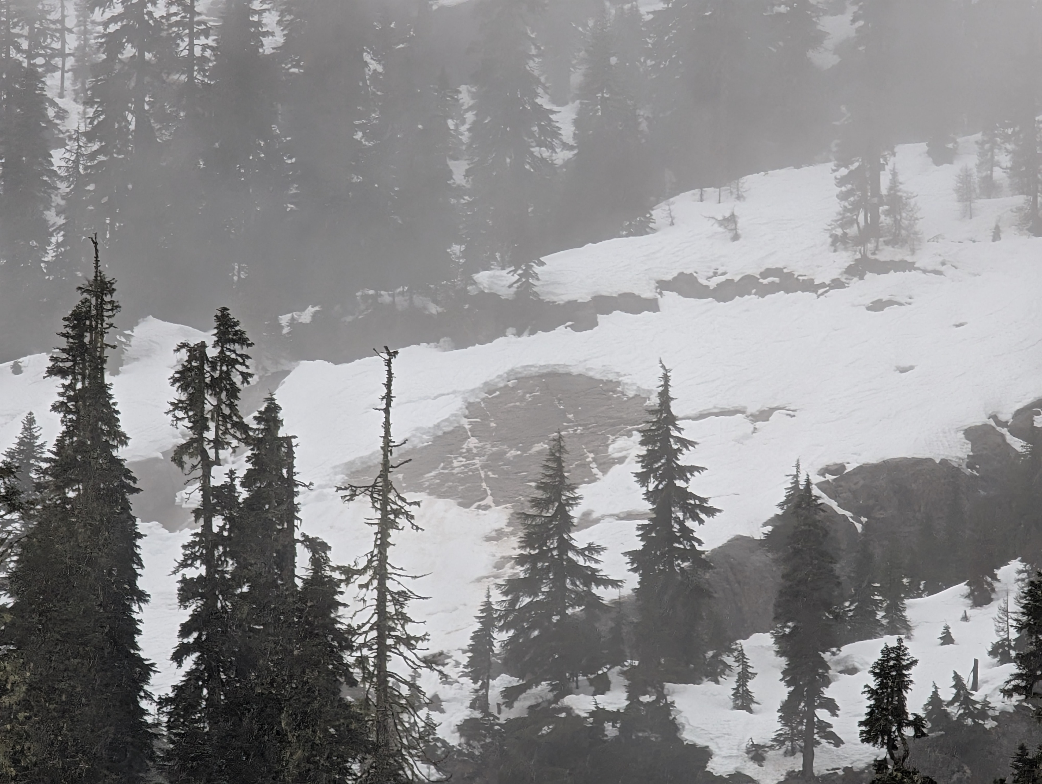
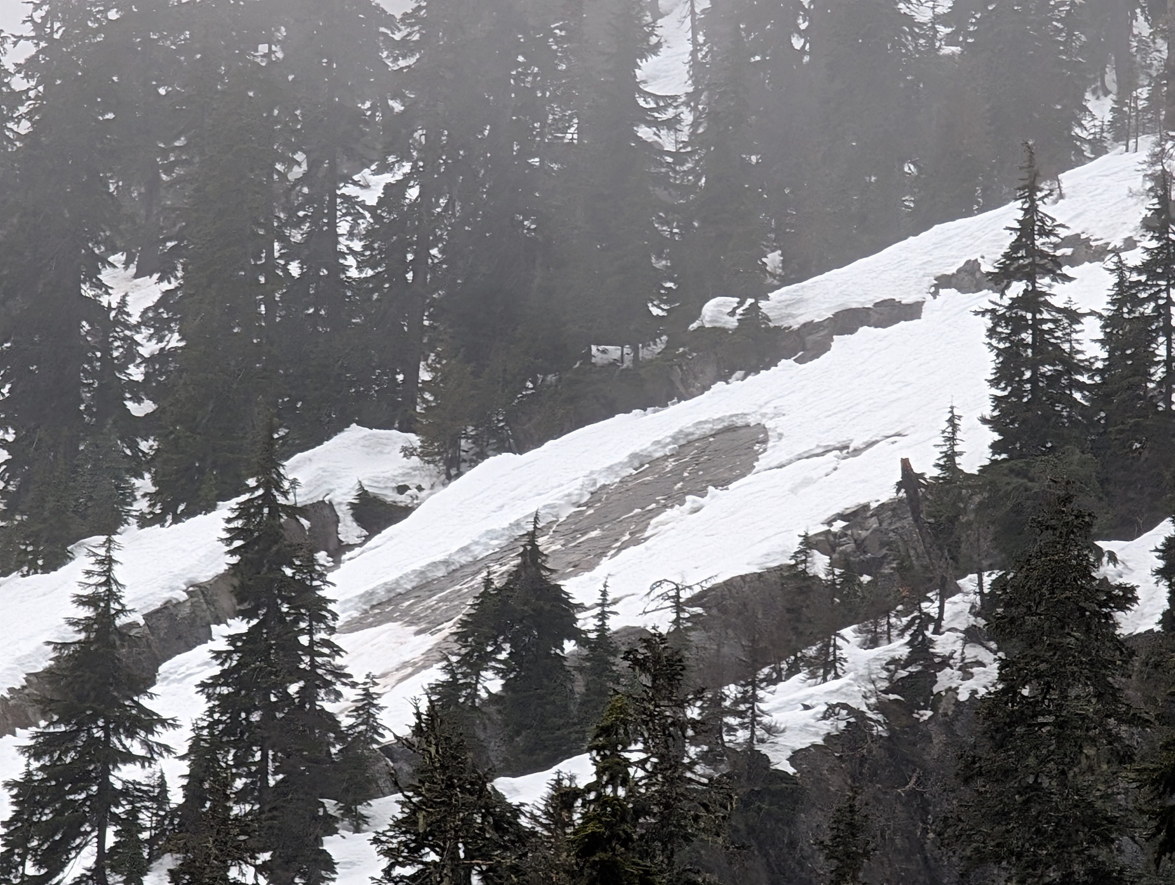
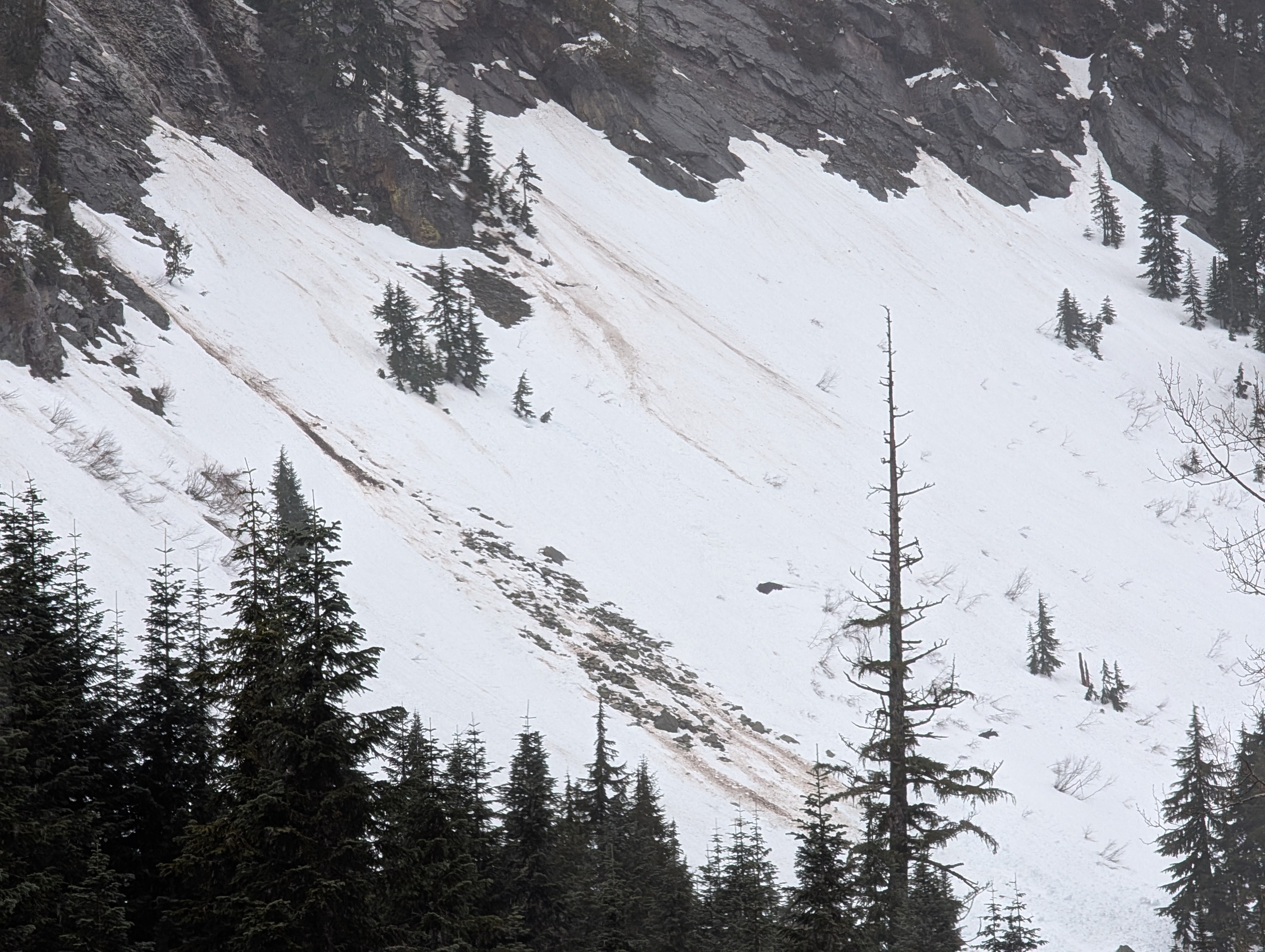
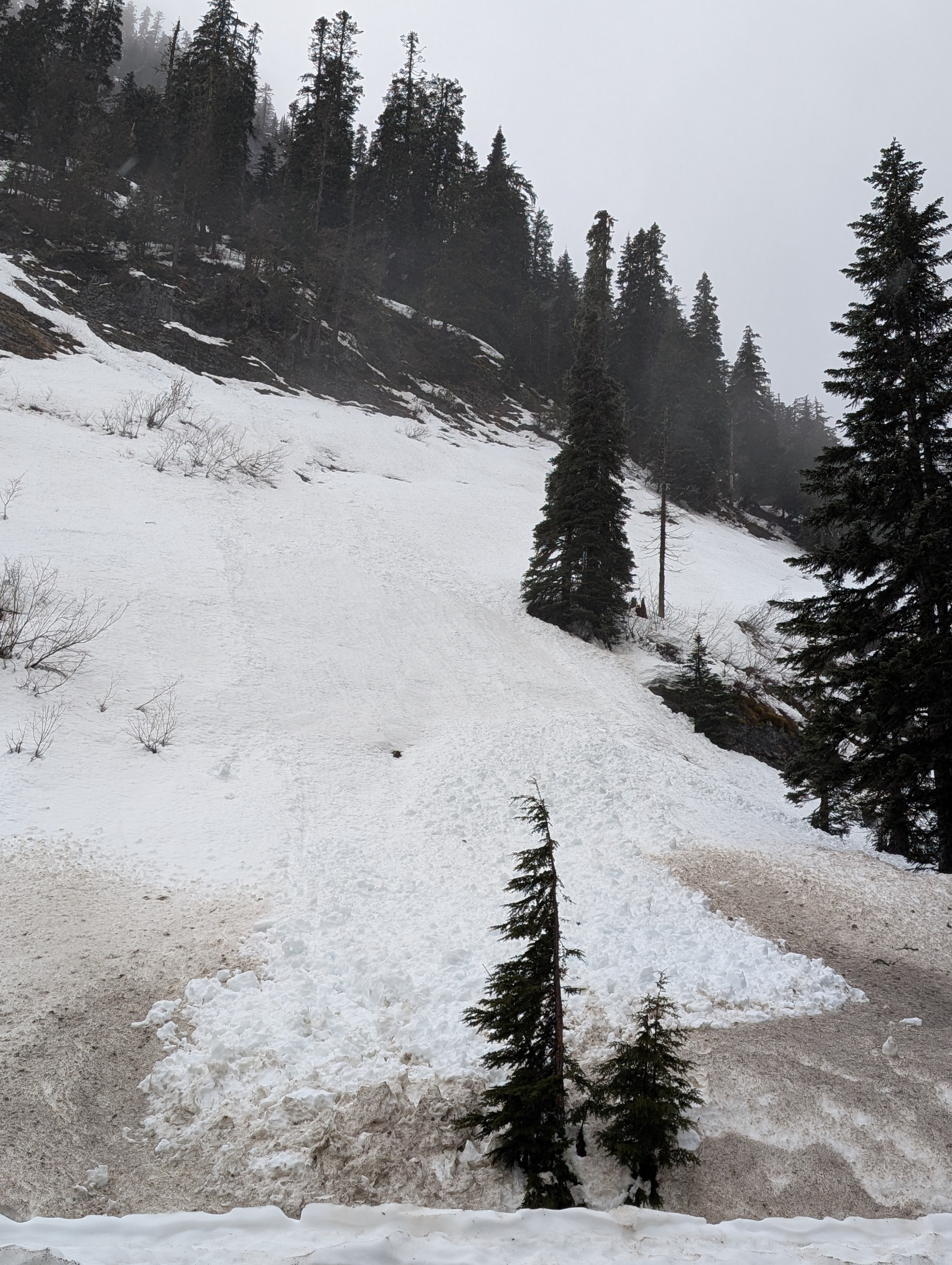
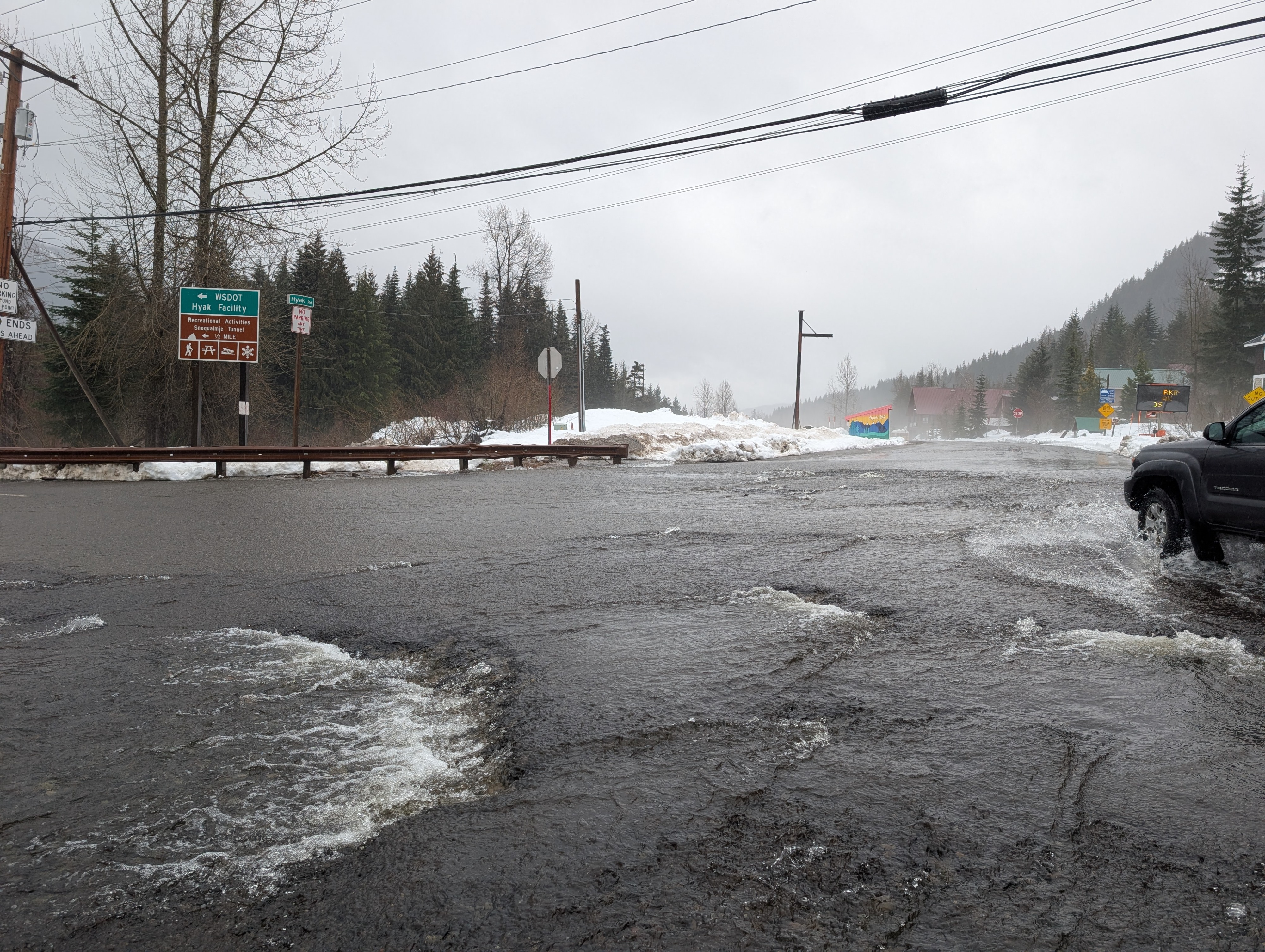
With more rain expected through the day, Andy and I took a drive to Snoqualmie Pass to try to spot any notable avalanche activity. It's been raining almost consistently since Sunday night, and the snowpack definitely shows it. Unfortunately, all the recent new snow has been rained on heavily, dramatically reducing snow coverage and producing numerous wet avalanches. Just from the side of the road, we were able to spot a few small wet avalanches and one large glide. Safe to say, when temperatures finally cool and the rain stops, the snowpack will look quite a bit different.
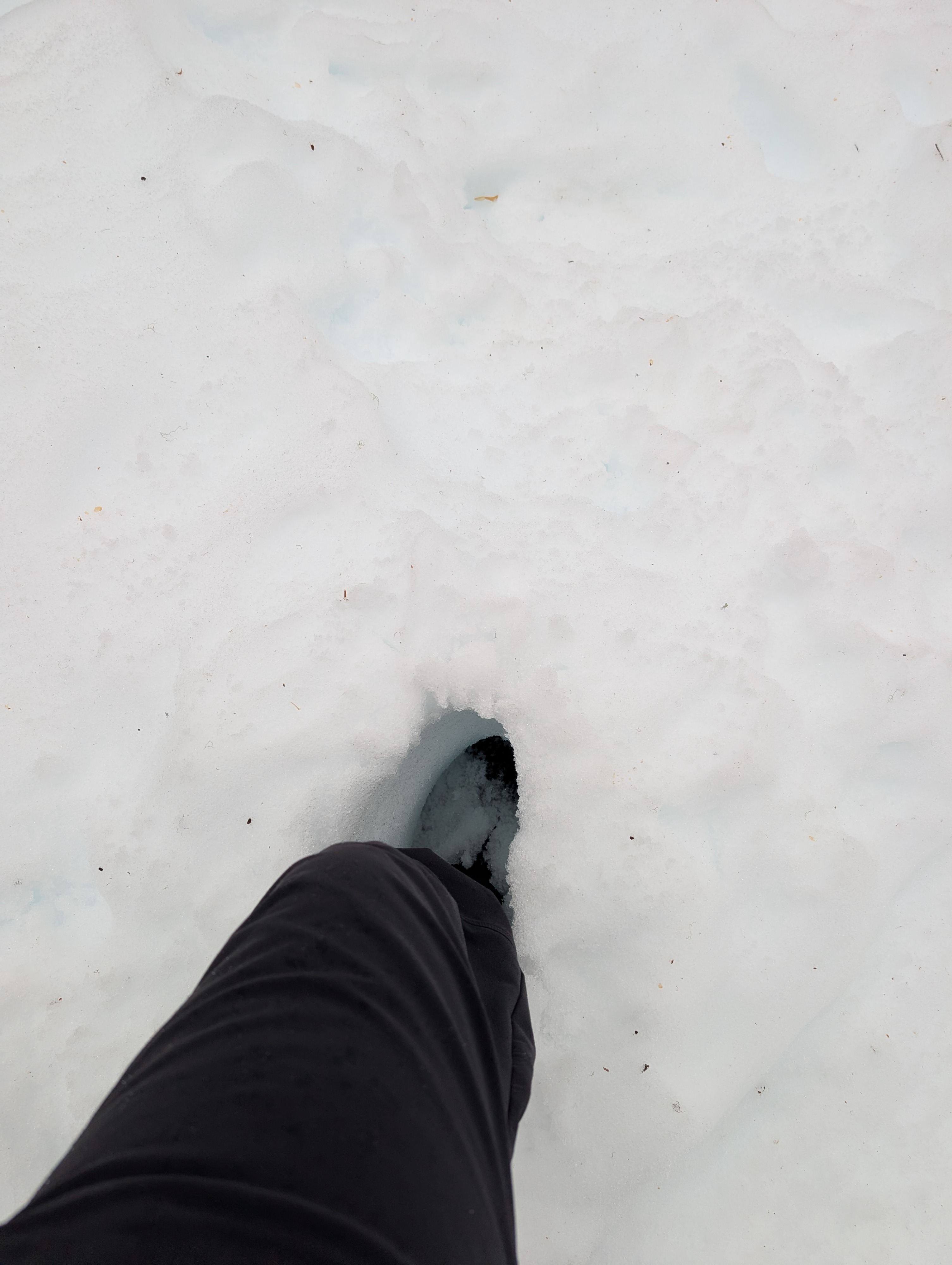
The snowpack has picked up a serious amount of water over the last few days of rain and warm temperatures. Snow at low elevations has turned wet and mushy, with boot penetration at least a foot deep.Weather
- Air Temp
- 42-45
- Cloud Cover
- obscured
- Wind Loading
- none
- Rain Elevation
- 8,000
- Recent Snowfall
- 0
- Snow Avail For Transport
- none
Heavy rain throughout the outing. Temperatures were well above freezing with low clouds hanging along the Pass, and a thicker cloud line at ~4,000 feet.
Snowpack
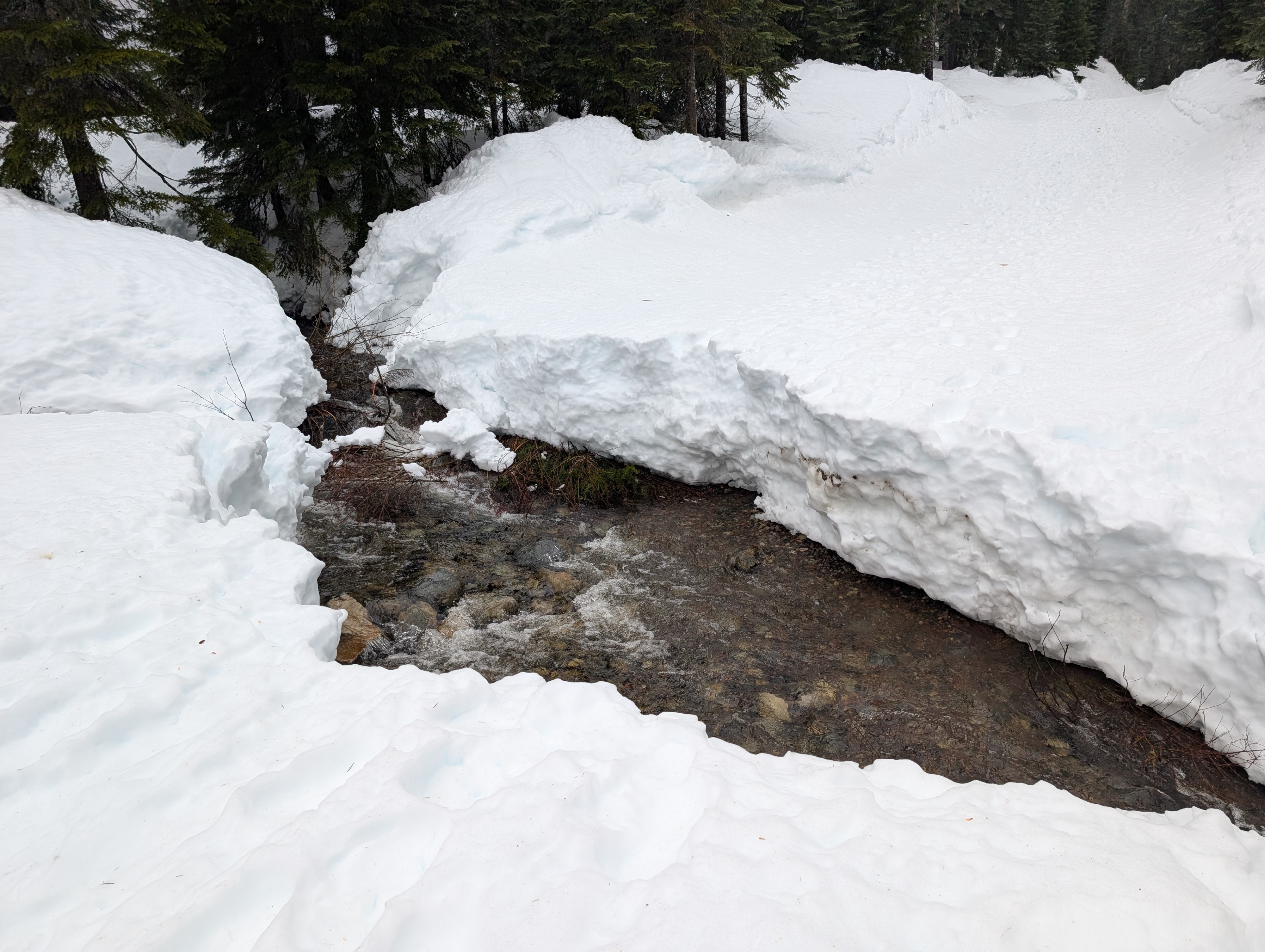
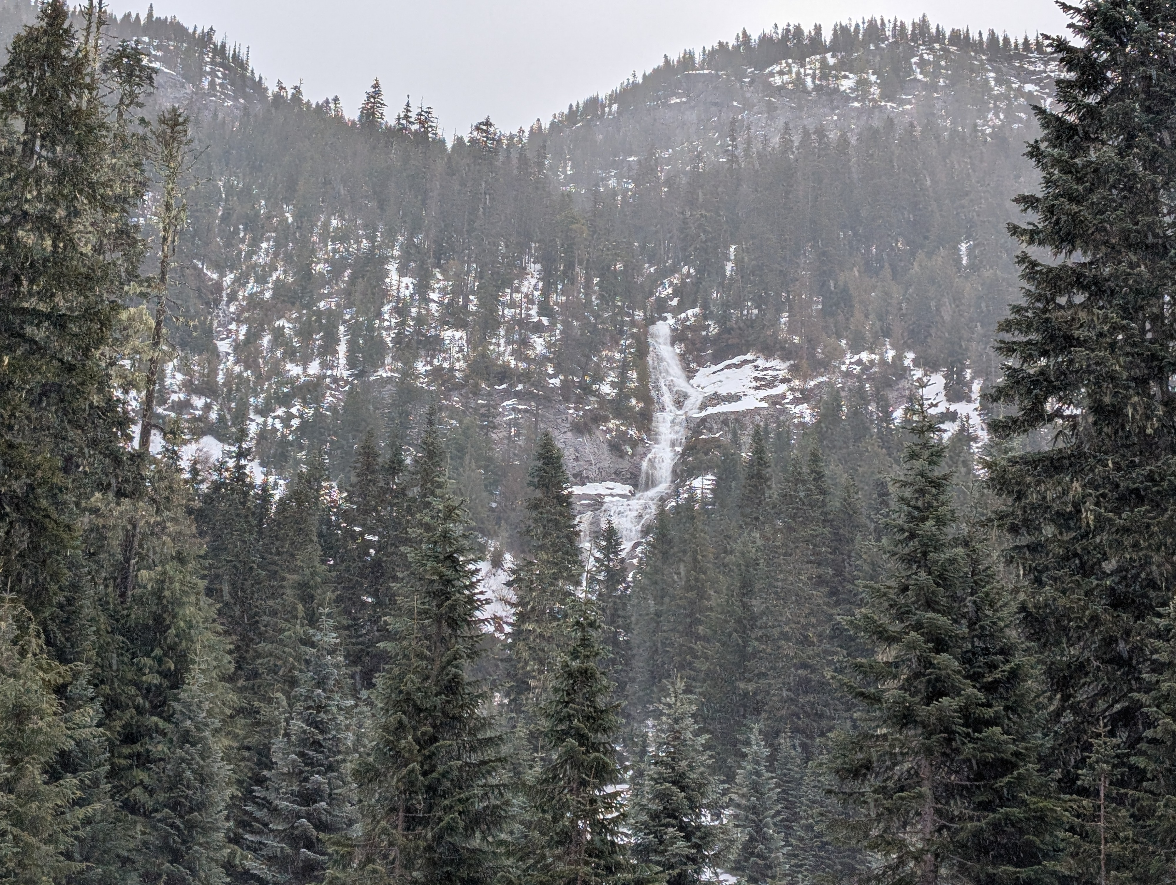
Snow coverage has changed drastically compared to 4 days ago. Three days of rain and warm temperatures have decreased snow coverage throughout Snoquamie Pass, with creek crossings reopened, and rivers running strong. Many low-elevation areas that had sufficient coverage to travel last weekend have reverted to exposed rock once again. Snow at low elevations has turned wet and mushy, with boot penetration at least a foot deep.
Avalanche
Multiple small (D1) wet avalanches were spotted along the road to Alpental, and a large glide avalanche released off Rockface at the resort.