
Quick report
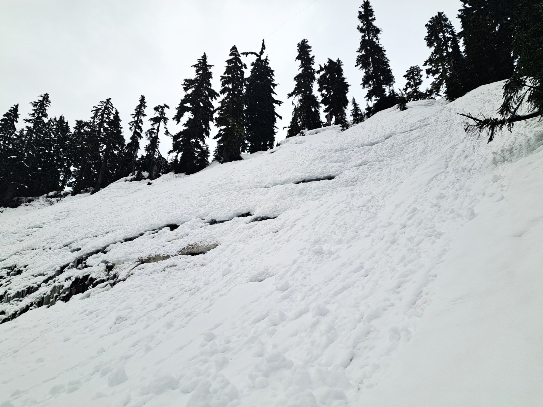
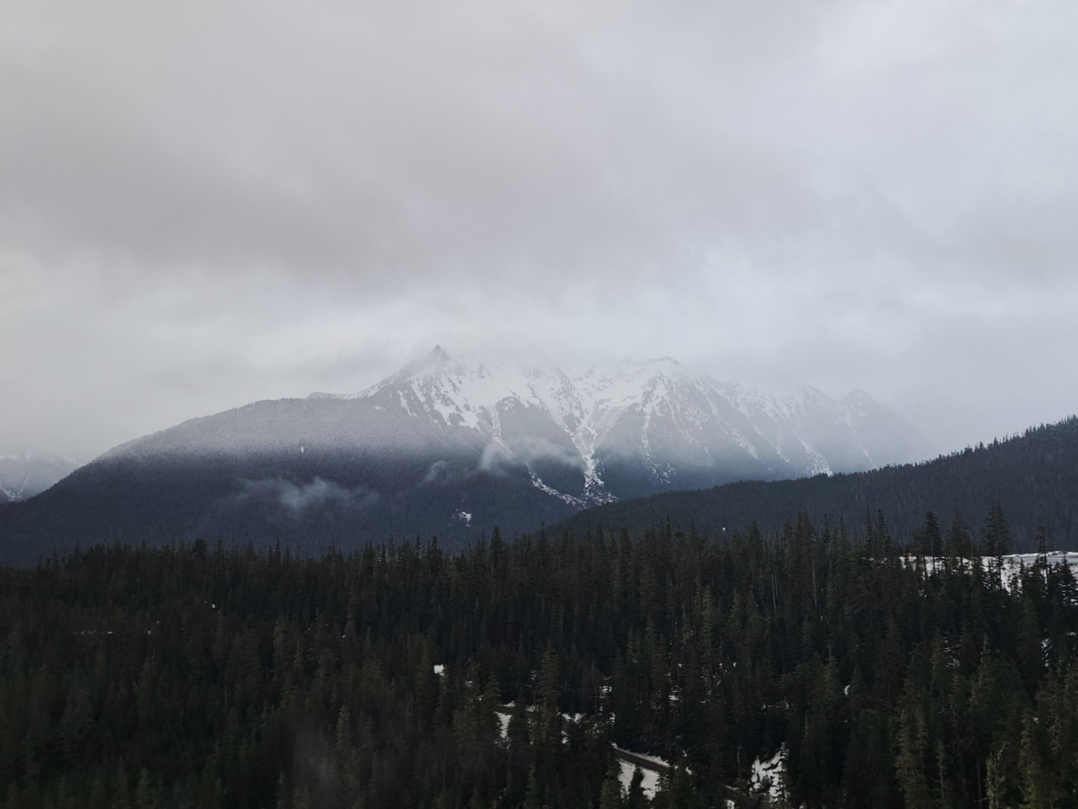
Typically wet and moderately stormy day in the Baker Backcountry. Actual avalanche problems seemed minimal in this area despite new snow and potential for faceting at the new snow-crust interface. Suspect faceted snow varies widely in distribution at mid-elevations and will get rained out with more precipitation and rising snow levels over the next few days. Upper elevation conditions are unknown. Visibility kept most in simple terrain close to the Austin Pass backcountry gate.
Roller balls and a few small push-alanches on steep, unsupported slopesWeather
- Cloud Cover
- obscured
- Wind Loading
- light
- Rain Elevation
- 3800
- Recent Snowfall
- 15
- Snow Avail For Transport
- small smounts
Warm with steady wet snowfall through the afternoon. Moderate to strong wind wanted to drift snow, and did in some areas, but new snow was generally too moist and bonded to the surface for extensive transport.
Snowpack
15cm of moist new snow, generally 4F in hardness, overlying the stout, undulating crust buried on Jan 28th. Wind-loaded slopes had 10-15cm of 1F over 10cm of slightly softer snow over the crust. Variable bond of new snow to the old crust surface. Hand shears, skin track tests, and other informal tests produced no results. The slab was too thin and soft for both large- and small-column tests. Shovel tilts produced easy shears at a thin layer of faceted melt forms at the new snow-crust interface. Minor cracking only on wind-loaded slopes. Stout crust and melt-forms extend at least 100cm down from the crust interface at this elevation.
Avalanche
No new avalanches observed.