
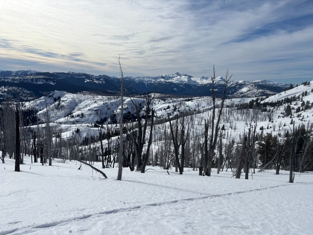
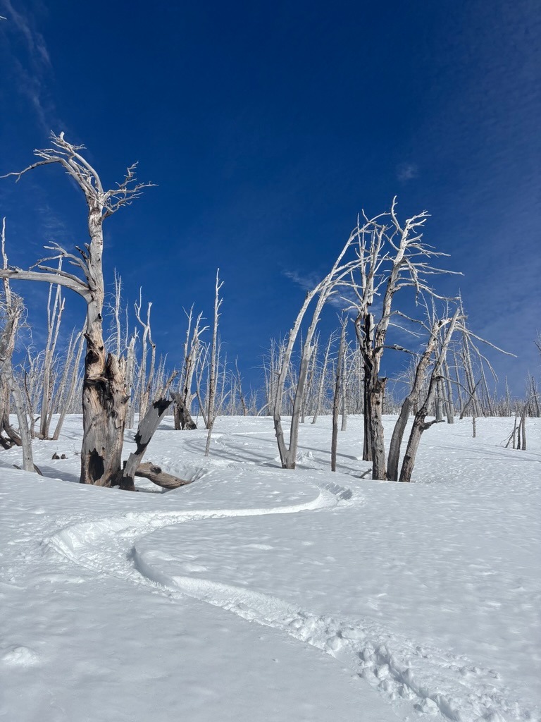
Quick report
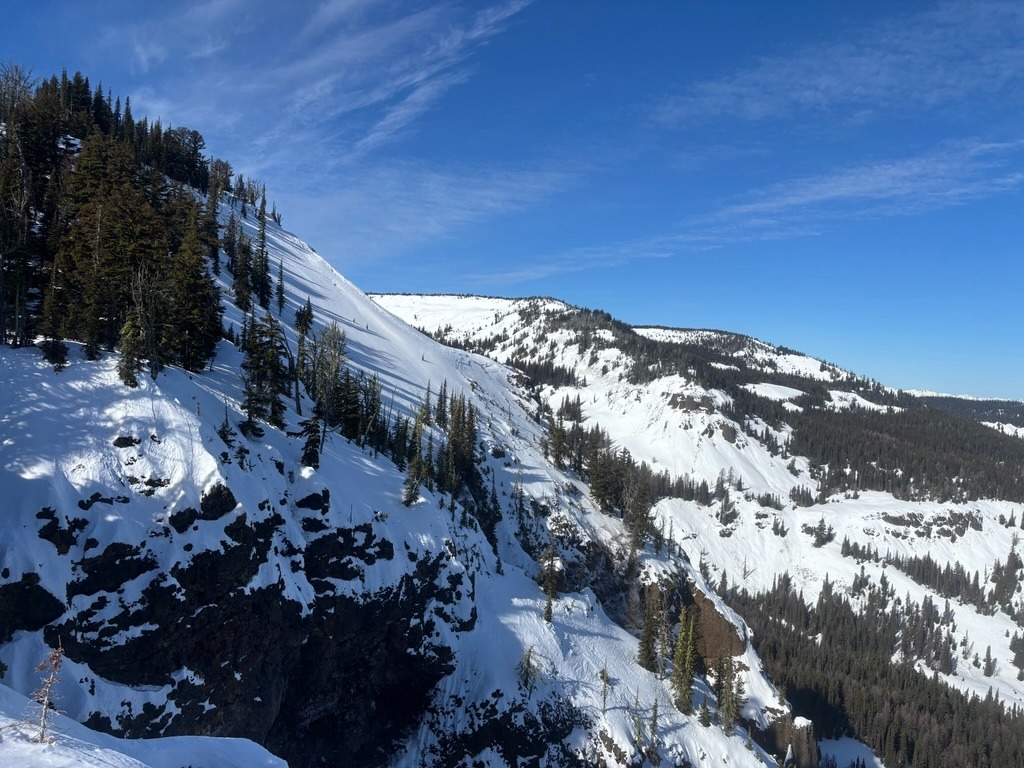
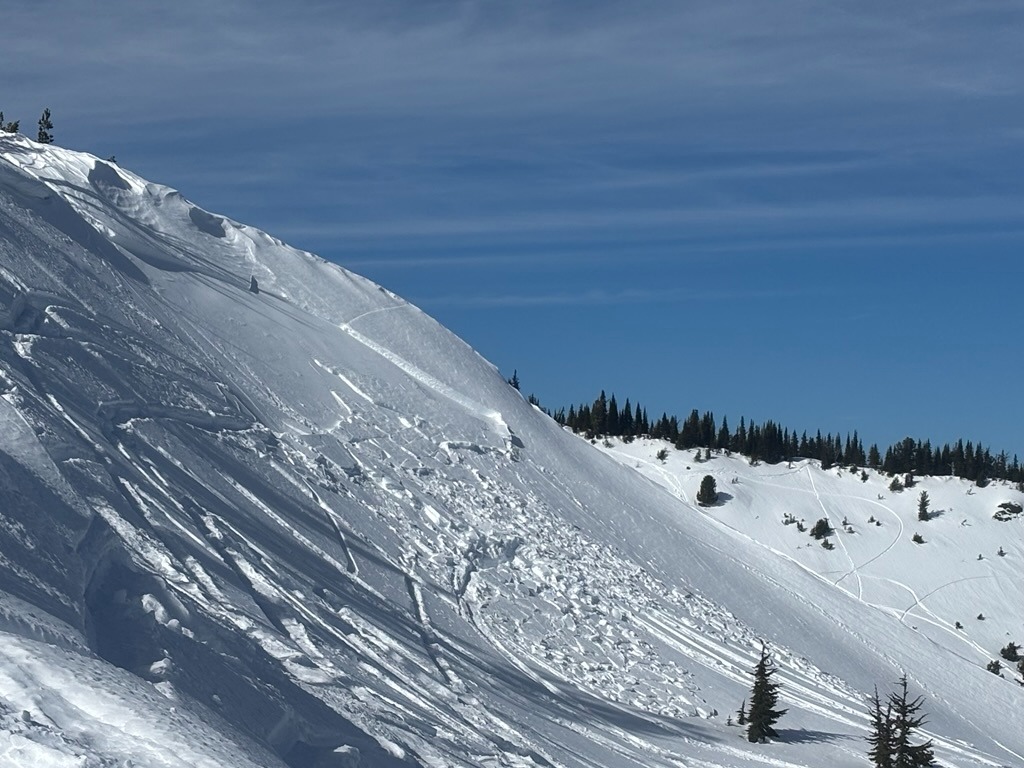
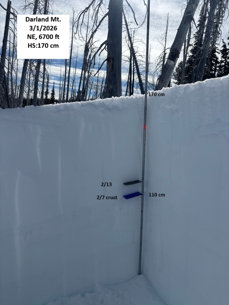
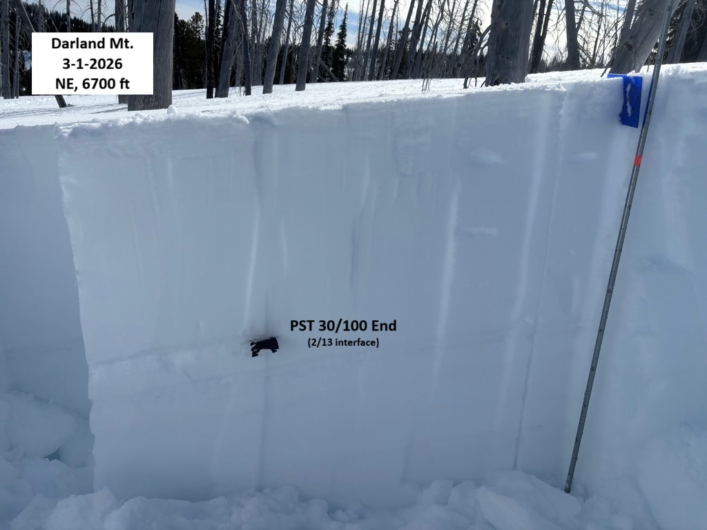
While the sunny day was nice, I still observed an unintentionally triggered persistent slab avalanche that broke up to 2 ft deep on a layer of buried surface hoar on the 2/13 interface (HS-AMu-R2-D2-O / NE, 6700'). According to nearby groups, this avalanche broke the day prior on 2/28. Other obvious signs of instability felt minimal, though. Digging down told more of the story and revealed a layer of buried surface hoar and rounding facets above the 2/7 crust that would consistently show the ability to propagate with PSTs. This weak layer was also the likely culprit of this triggered avalanche.
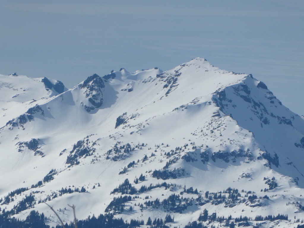
With the mild temperatures and clear skies, wet snow did materialize on sun-exposed SE-W aspects. I did observe a couple of large wet loose in the Goat Rocks Wilderness, but there were no observed wet loose in the immediate Darland Mountain area.
Weather
- Air Temp
- 30s
- Cloud Cover
- few
- Wind Loading
- previous
- Recent Snowfall
- 0
- Snow Avail For Transport
- small smounts
Snowpack
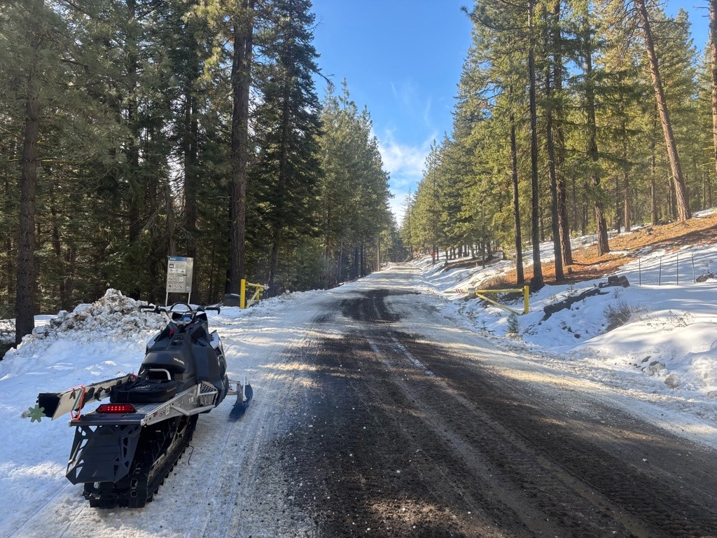
You can still launch from the Ahtanum Meadows Sno-Park, just barely. There are a few dry sections you'll need to navigate, but continuous snow coverage is present within a mile.
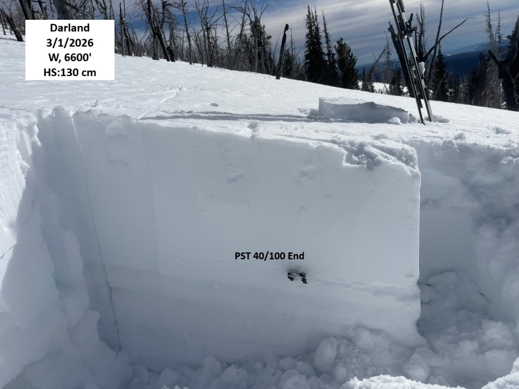
The 2/13 and 2/7 crust interface sit about 50-60 cm below the surface in this area. The 2/13 consists of 3-5 mm buried surface hoar with some faceted grains just beneath it. PSTs propagated through the whole columns with cut lengths averaging 30-40 cm/100 End. CT's would produce sudden collapse on these same layers with ECTs providing unremarkable test results.
Avalanche
- Size
- D2 R2
- Type
- SS
- Aspect
- NE
- Trigger
- AM
- Elevation
- 6700 ft
Rider triggered. Self extricated.