
Quick report
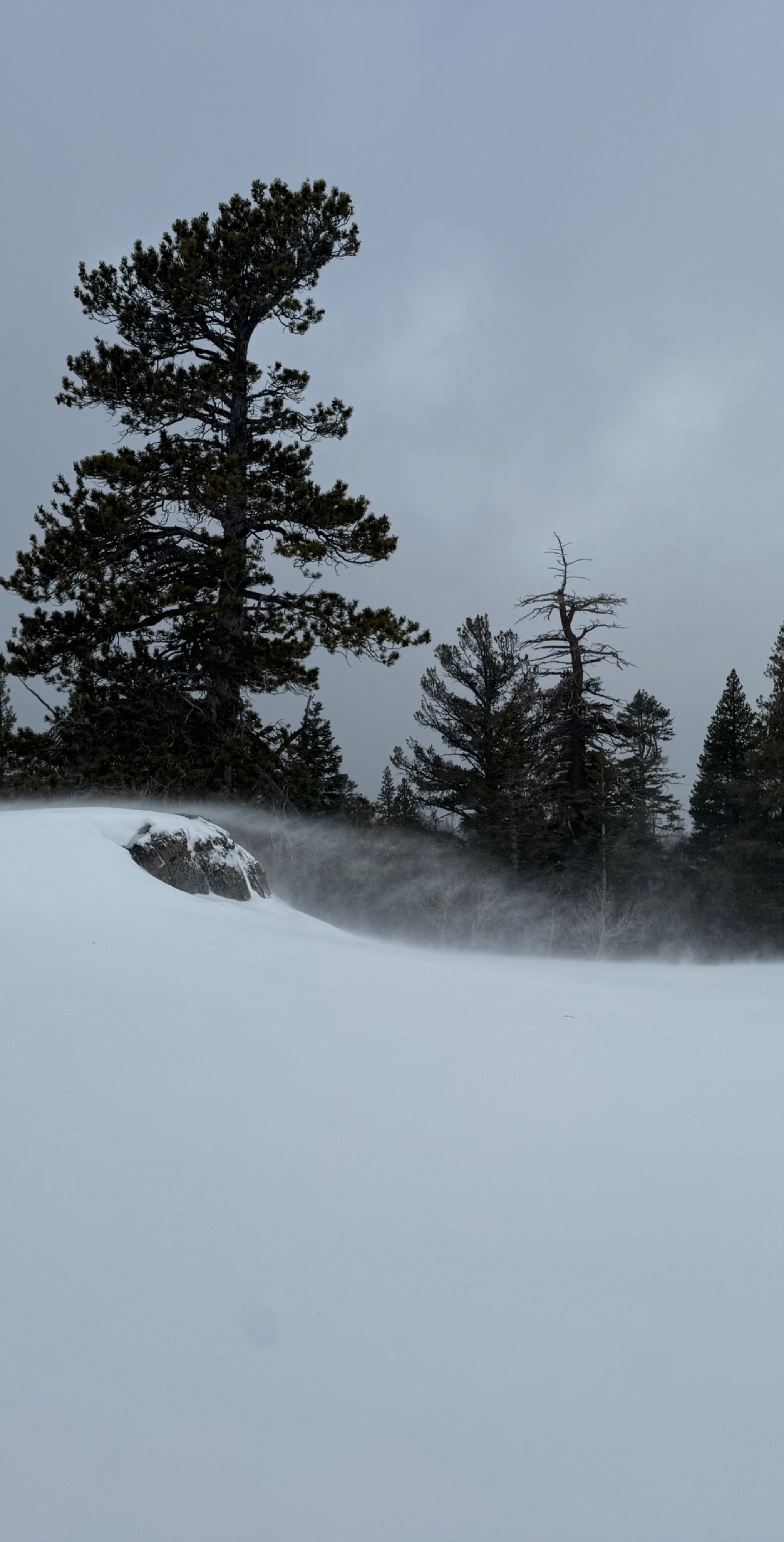
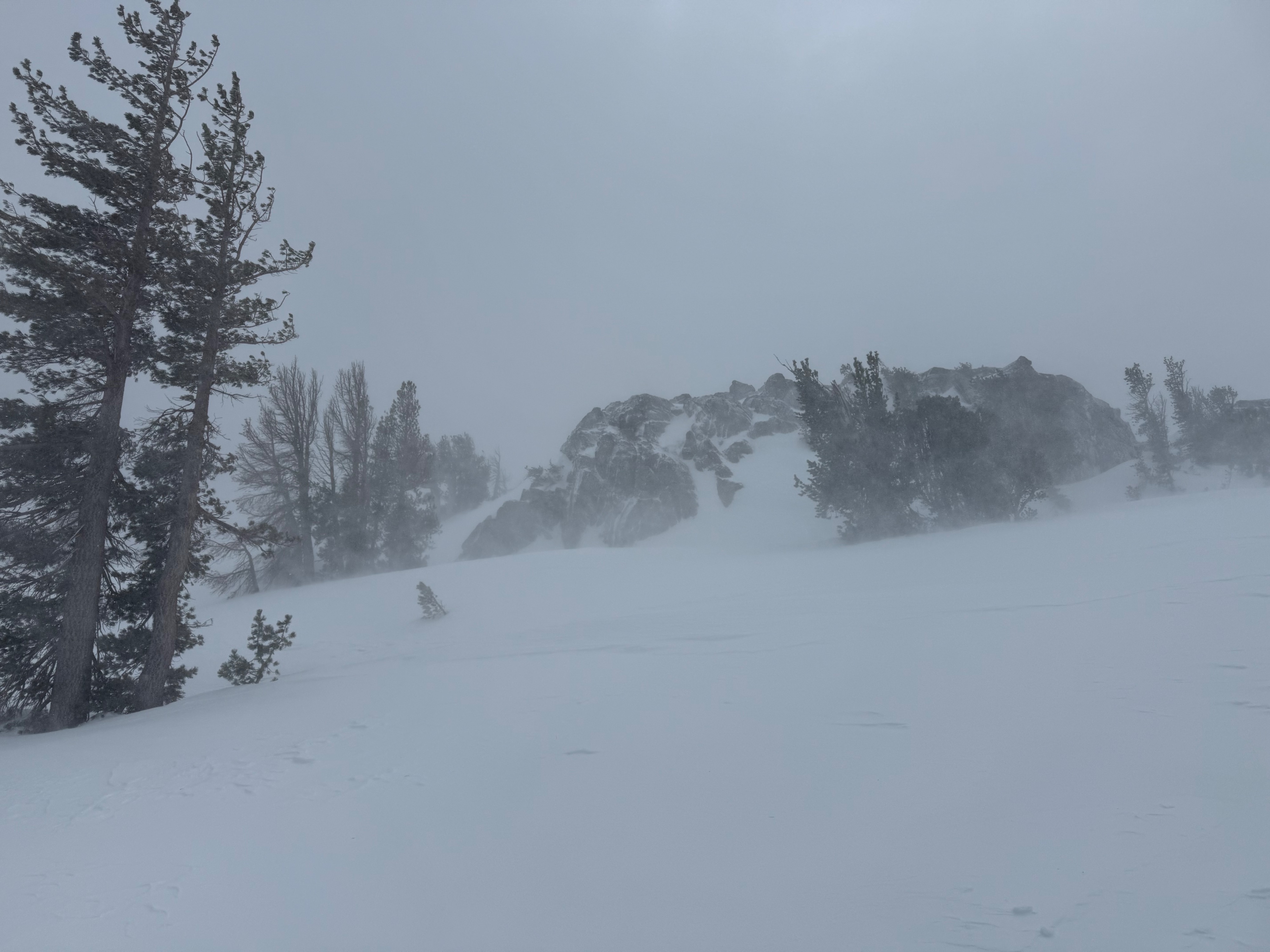
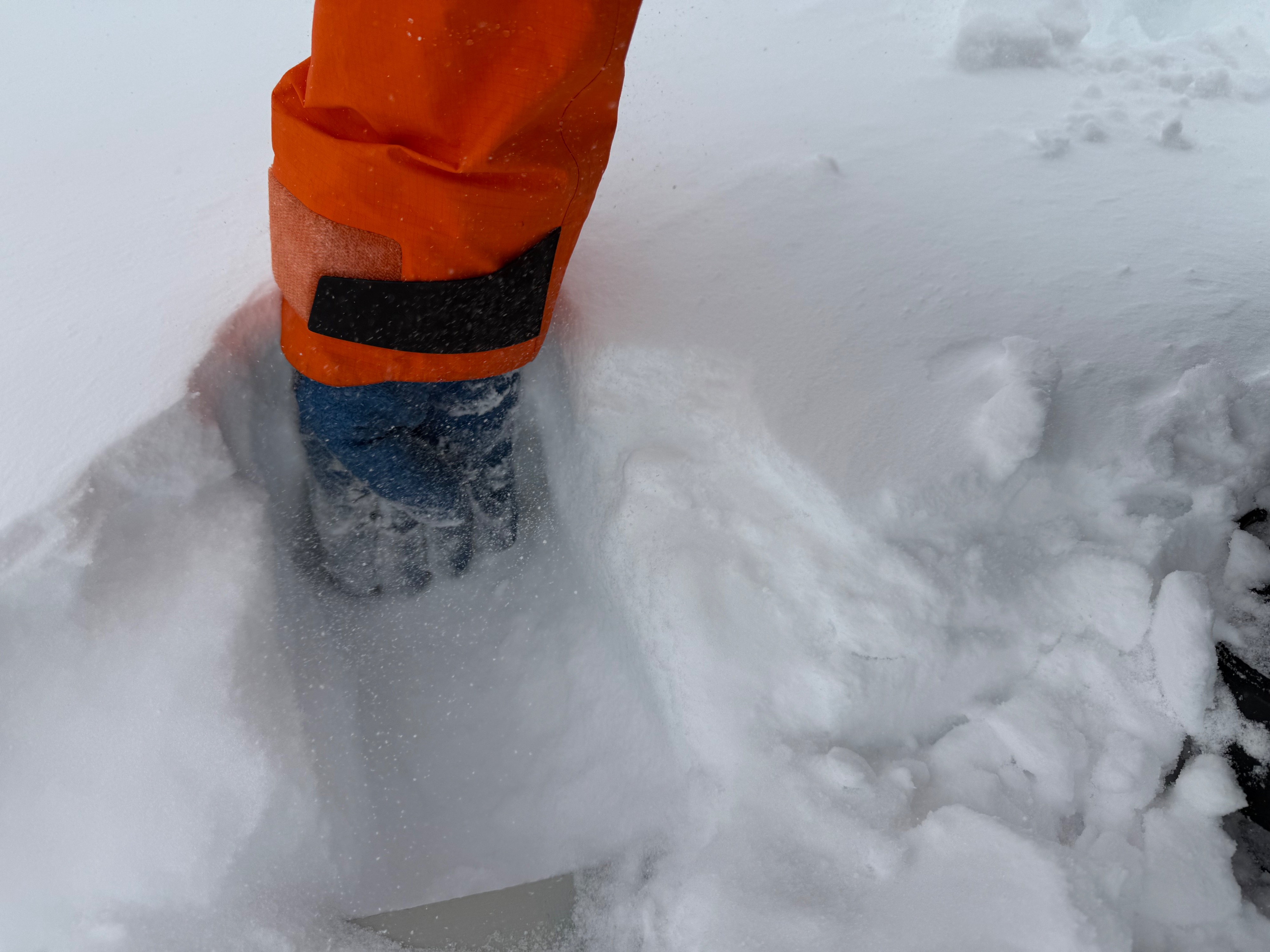
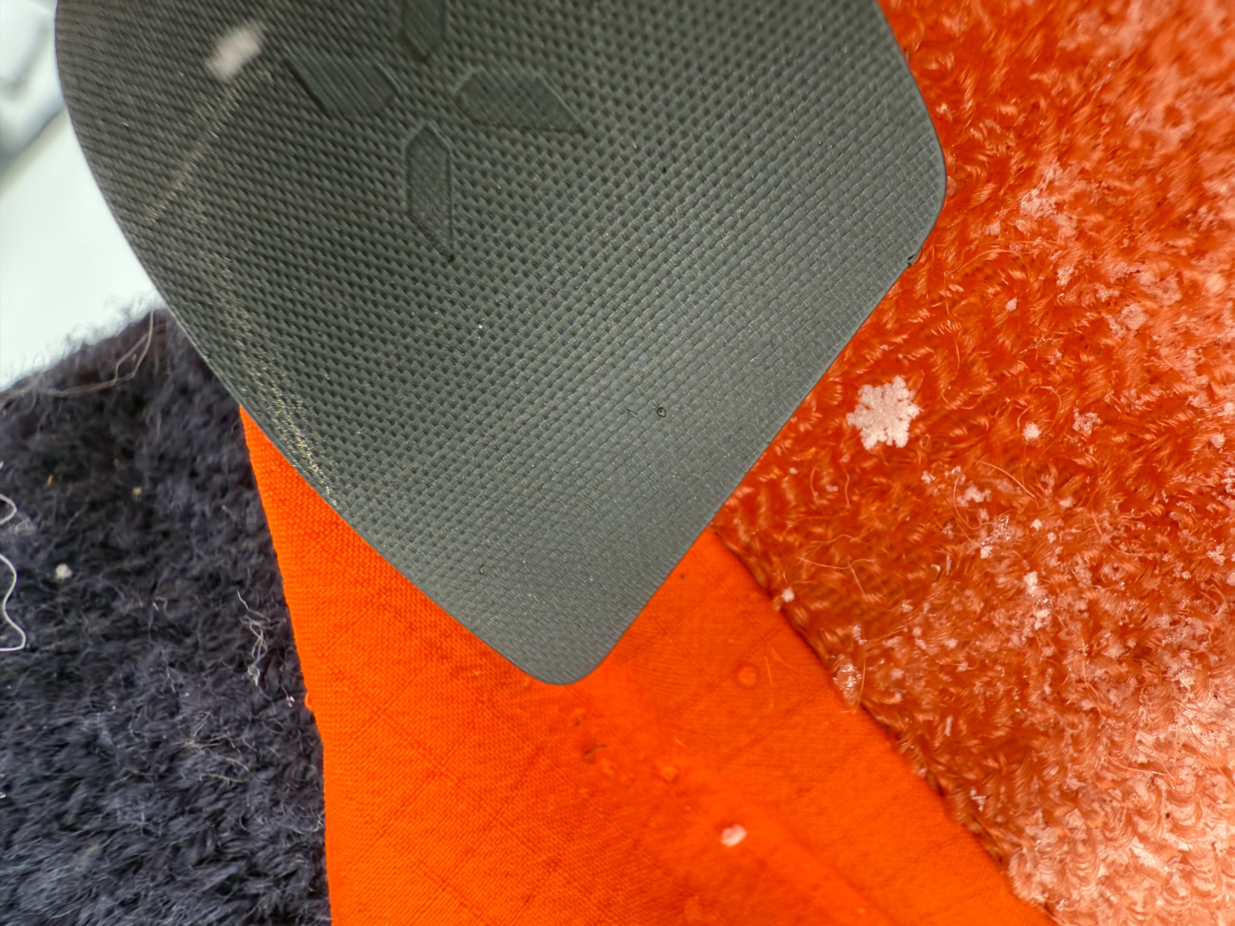
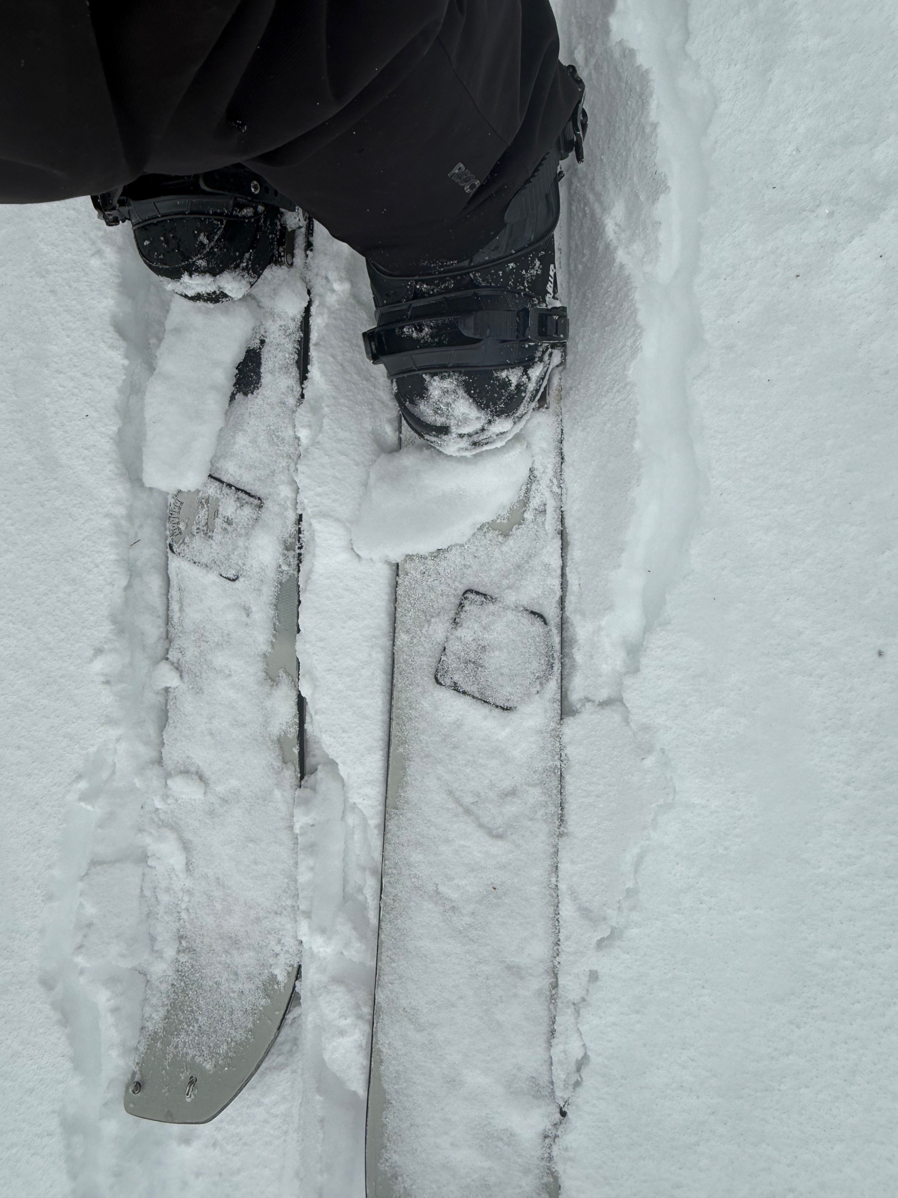
I went out to the Frog Lake zone this morning. When I arrived, it was windy and snowing, but not much accumulation had occurred. The precipitation particles were mostly tiny rimed up balls. These particles were being blown chaotically all over the place in near tree line, terrain and above. Most of it was depositing in below tree line terrain in: tree wells, gullies, rock moats and leeward side of slopes. I did find sections of up to 6 inches of deposited snow on leeward slopes in below tree line terrain.
Below the new incoming snow, I found a variety of bed surfaces. In some cases, there was icy, hard supportable patches in near tree line terrain, and above. But in most areas, I found a half inch to three-quarter inch breakable crust on all aspects above 8500 feet. Soft cold snow existed underneath these crusts. Most of the new snow was blowing around on these surfaces and not accumulating too much, no real bonding process had started yet. Some of these surfaces may take time for bonding.
Weather
- Air Temp
- Below freezing
- Cloud Cover
- overcast
- Wind Loading
- intense
- Snow Avail For Transport
- large amounts
Leading edge of the storm, periods of broken skies and variable temperature swings in the atmosphere. Most precipitation was small, rounded rimed particles. With periods of dendrites. Strong winds and galeforce gusts were blowing from the southwest.