
Quick report
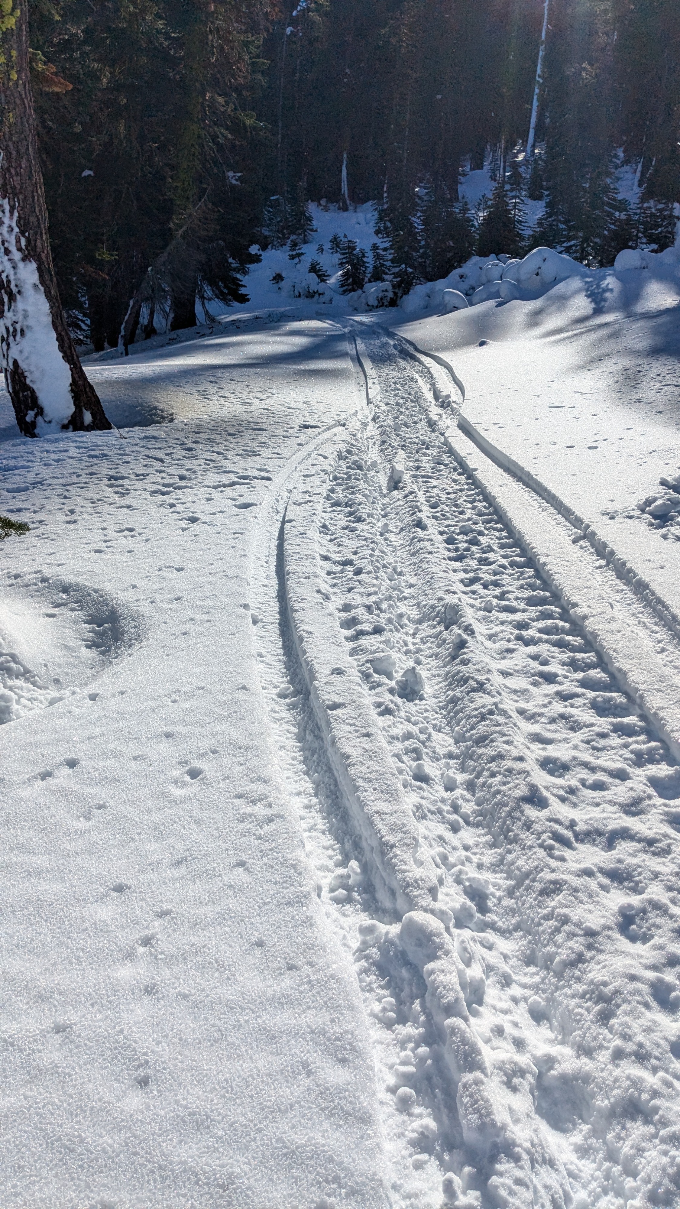
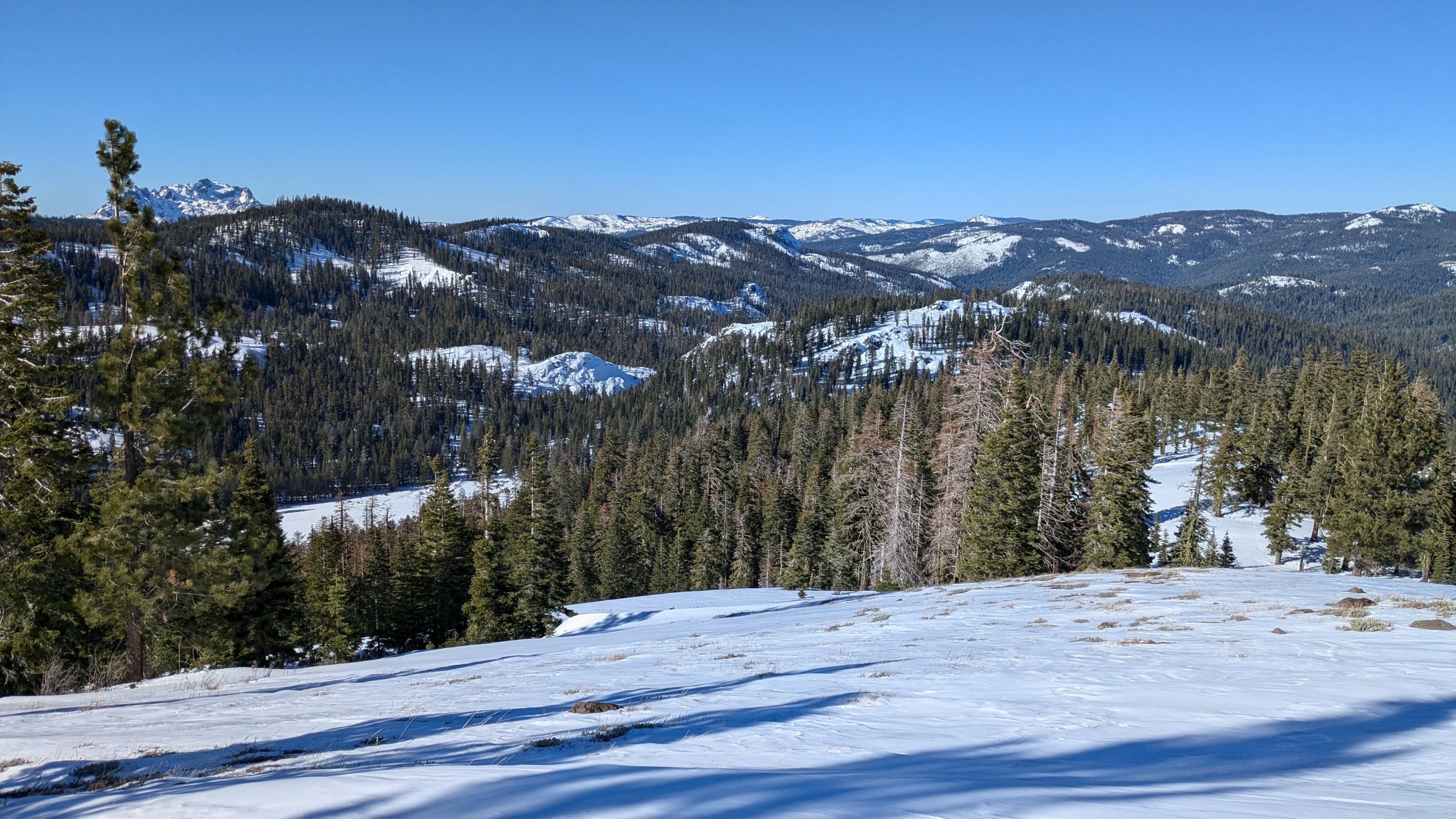
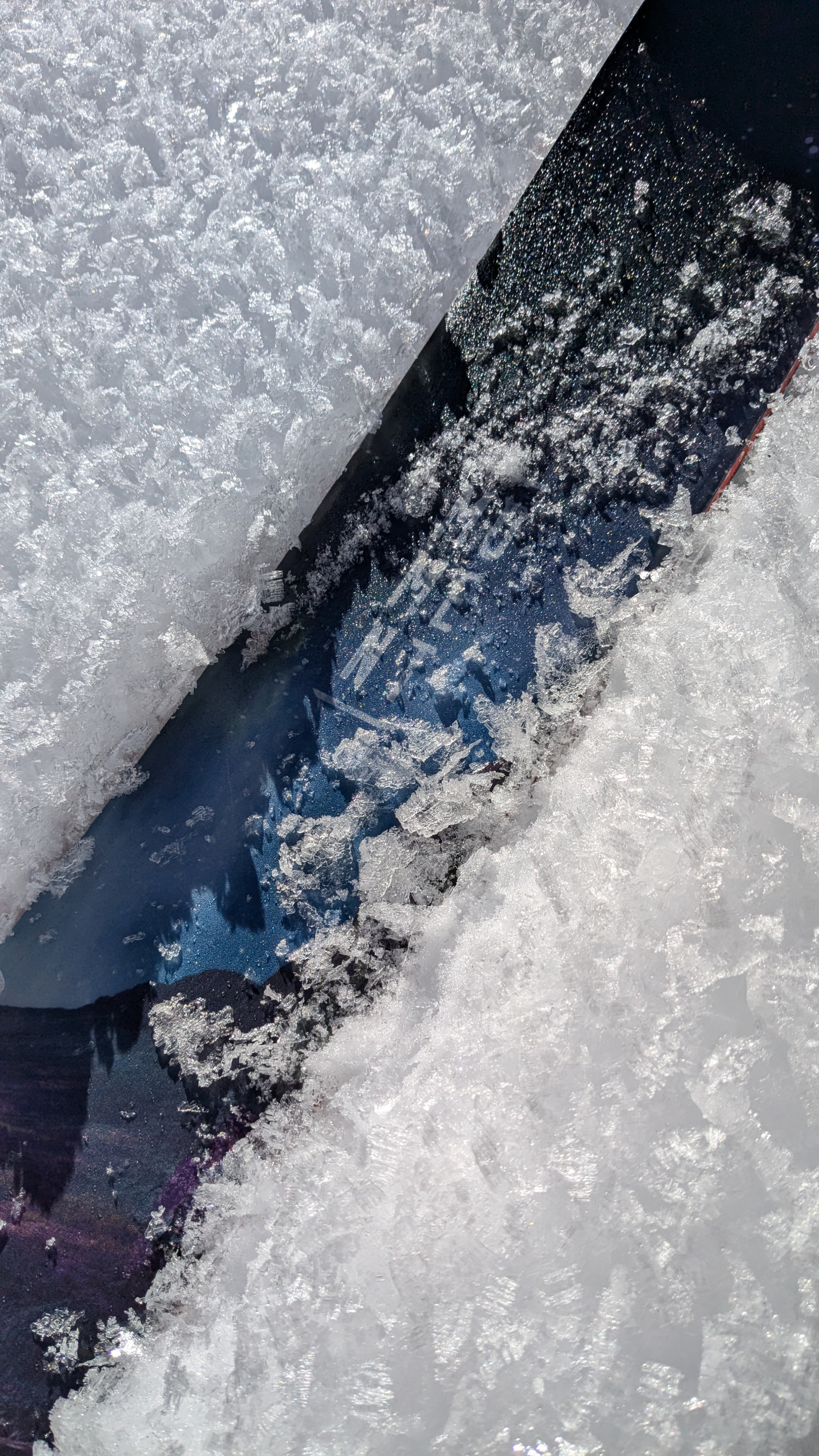
We toured around the Yuba Pass/Lincoln Ridge area today. At Yuba Pass (6,700') there is about 1 foot of supportable snowcover. This increased to 3+ feet of snowcover at and above 7,200'. There is more distribution of snowcover across solar aspects in this area than in many other parts of the forecast area. As expected, we encountered sun crust and wet snow on sun exposed slopes. On shaded slopes we found surface facets and surface hoar.
The snowpack in this area is supportable. Snowmobile travel off of the road system is possible above about 7,200' with careful riding.
Weather
- Air Temp
- 36
- Cloud Cover
- clear
- Wind Loading
- none
- Recent Snowfall
- 0
- Snow Avail For Transport
- small smounts
Clear skies, calm wind, and above freezing air temps.
Snowpack
The snowpack in the area received significant amounts of rain during the late Nov AR storm cycle. What was faceted snow at the base of the snowpack is now rounded polycrystals underneath a substantial rain crust. The layer of concern we identified was just below the uppermost rain crust located less than 1 foot below the snow surface (Nov 25 rc). In the full pit profile we got an ECTN result on this layer. In a nearby test pit, we got an ECTP-23 on this same layer. In both locations DF crystals were at the failure plane, no faceted crystals of note.