
Quick report
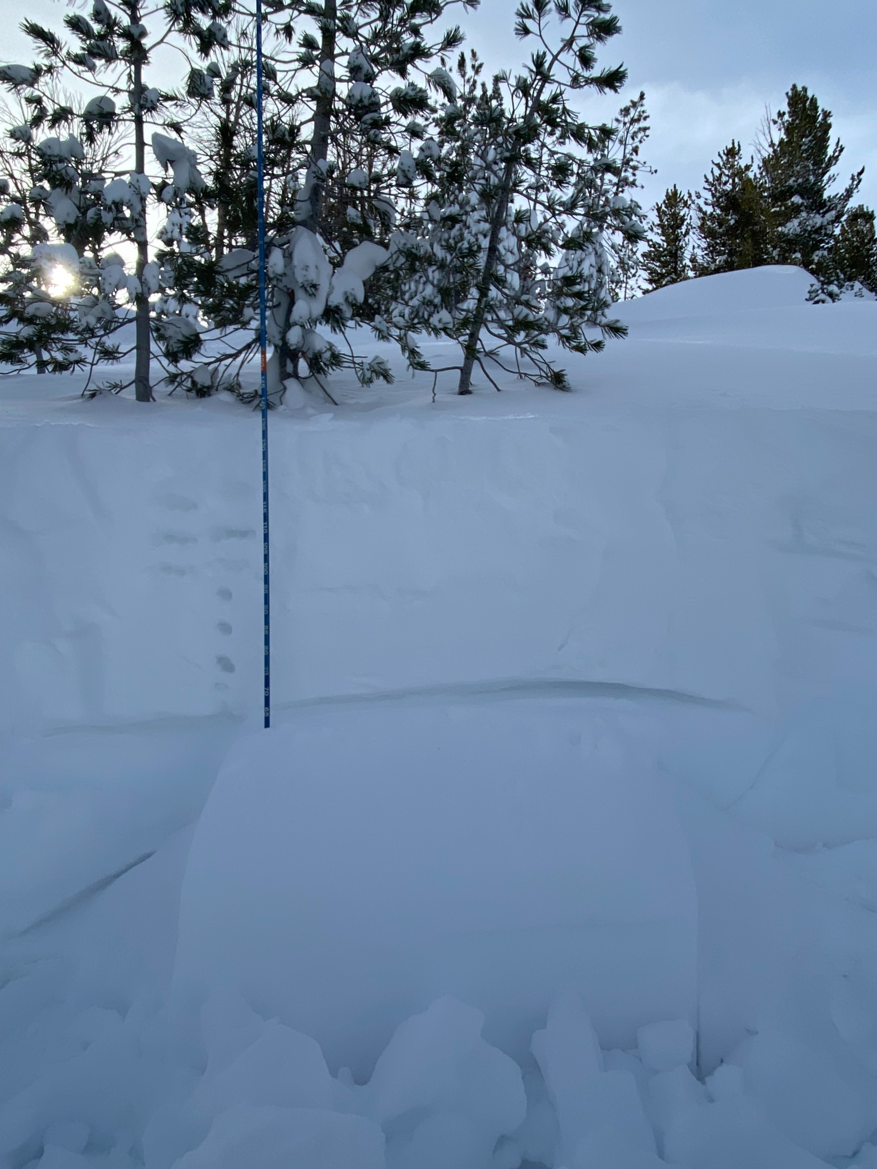
With about 2+ feet of new snow and approximately 3.8 inches of SWE on the Slide Mountain SNOTEL since 12/12 my mindset for traveling in the mountains today was to step back and assess the uncertainty surrounding multiple potential weak layers in the snowpack. I chose to return to a location I visited on 11/30 mainly to observe how the new snow was bonding to the NSF’s that were buried on Thursday (12/12/24). Targeting this layer resulted in consistent ECTP’s on hard shoulder taps (ECTP23 in video). The new snow was supportive and seemed to be holding the weight of skiers as I did not observe any cracking or collapsing while breaking trail. Other than propagating results in formal tests the only other sign of instability that I observed today was an old wind slab crown along the far east ridge that failed during the storm. Plenty of tracks in the Hour Glass with no skier triggered avalanches observed. It seemed unlikely to initiate a fracture on the 12/12 NSF layer as a skier but the potential for triggering a large persistent slab avalanche in northerly NTL terrain was present. Propagating results in formal tests. Old wind slab crown observed but wind slabs presented as stubborn to unreactive today.
Weather
- Air Temp
- 29
- Cloud Cover
- few
- Recent Snowfall
- 65
Snowpack
Quick observations @ approximately 9500 feet on NE aspect: HS 135cm Multiple ECTP's on 12/12 NSF's Multiple ECTN's within new snow
Avalanche
- Size
- D1 R1
- Type
- SS
- Aspect
- NE
- Trigger
- N
- Elevation
- 9300 ft
SS-N-R1-D1-S