
Quick report
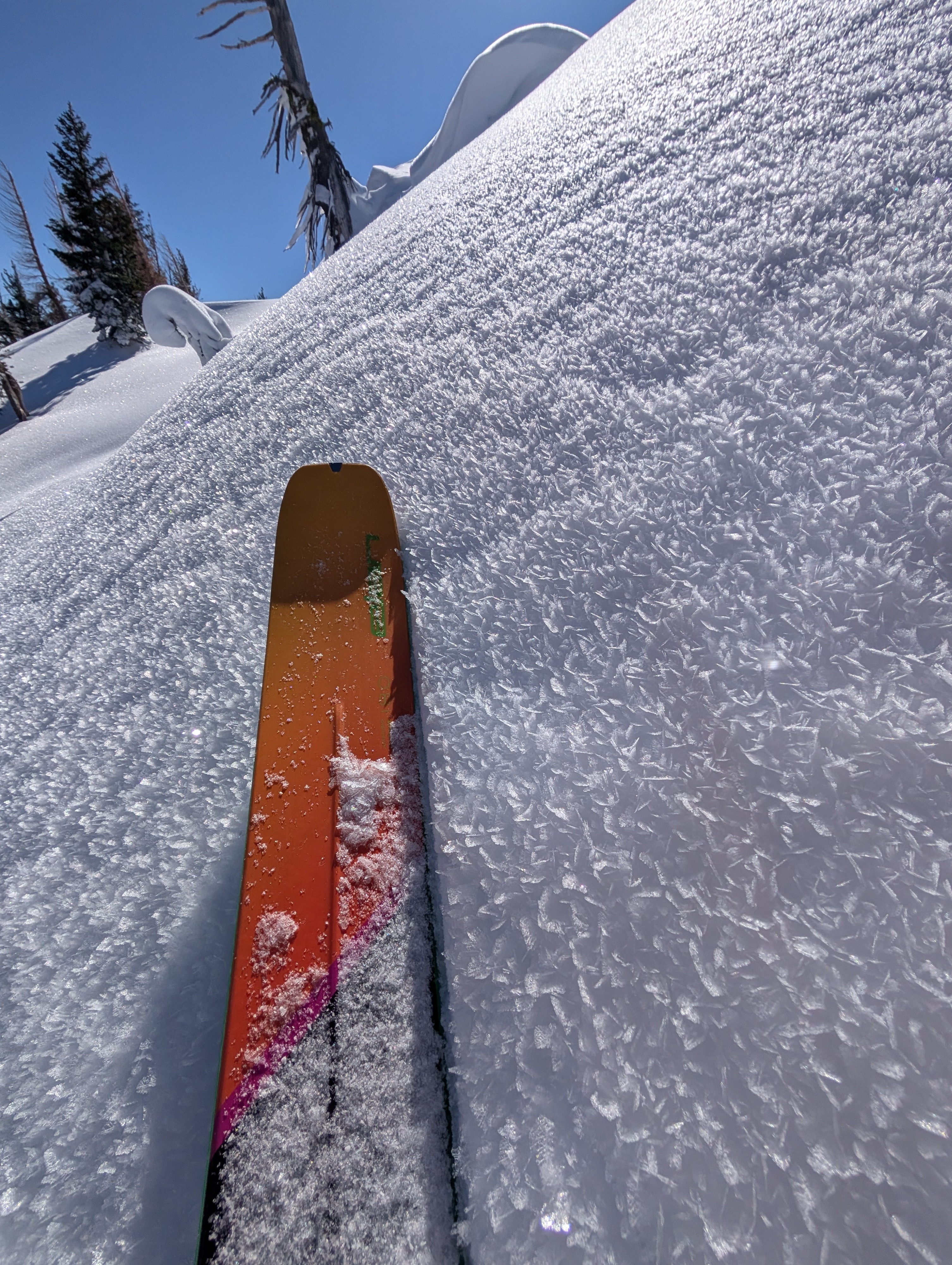
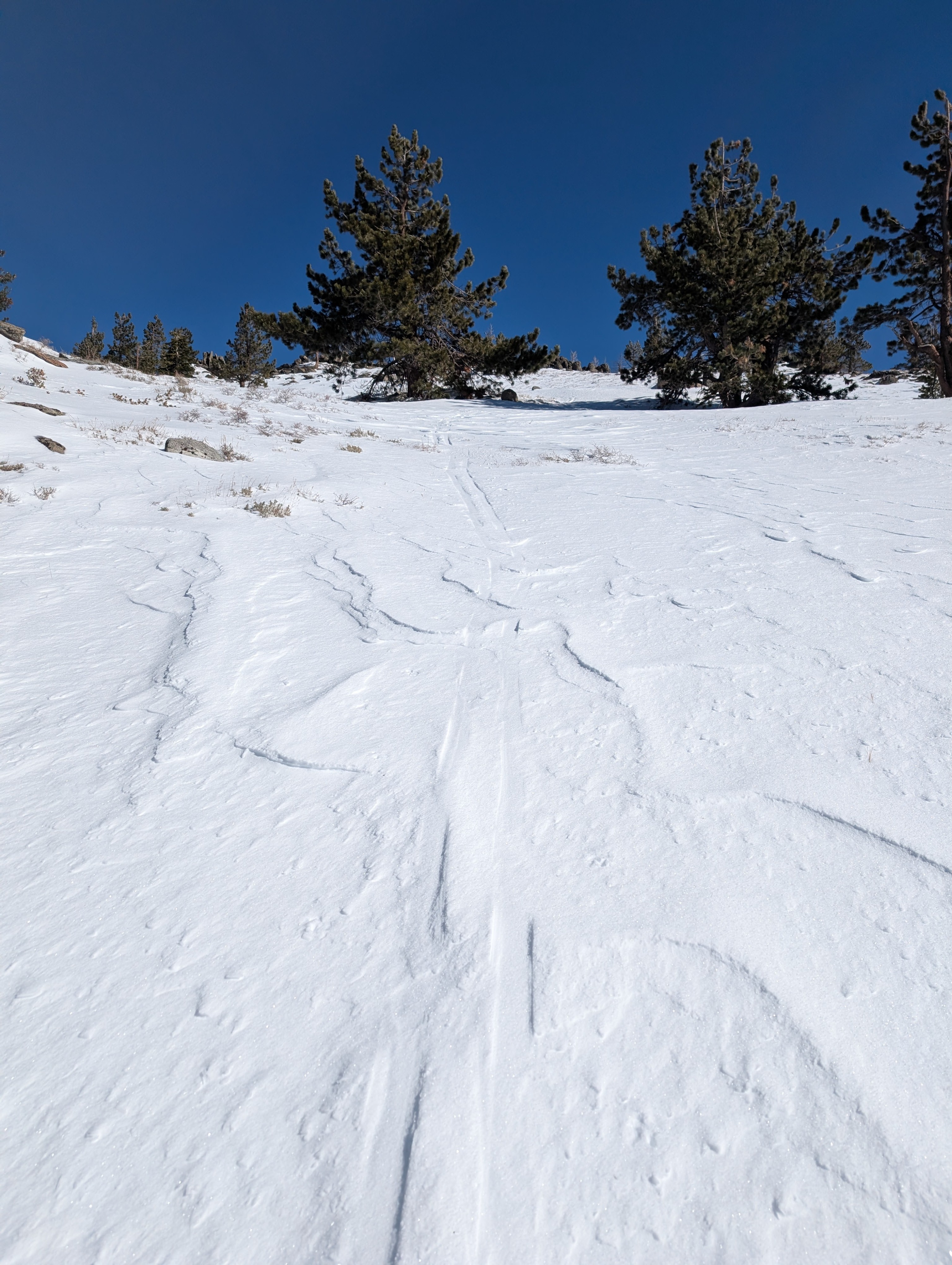
We targeted an area on the eastern side of the forecast area, looking for a shallower snowpack where the weak layers might be closer to the surface. We found much less recent storm snow resting on top of a thinner rain crust with weak faceted snow below it on N-NE-E aspects above about 8000 ft. Other aspects and areas lower than 8000 ft had much less snow cover and numerous exposed rocks, logs, bushes, etc. Large surface hoar (fragile feather snow crystals) existed up to the ridge tops in this area into the afternoon despite wind speeds picking up.
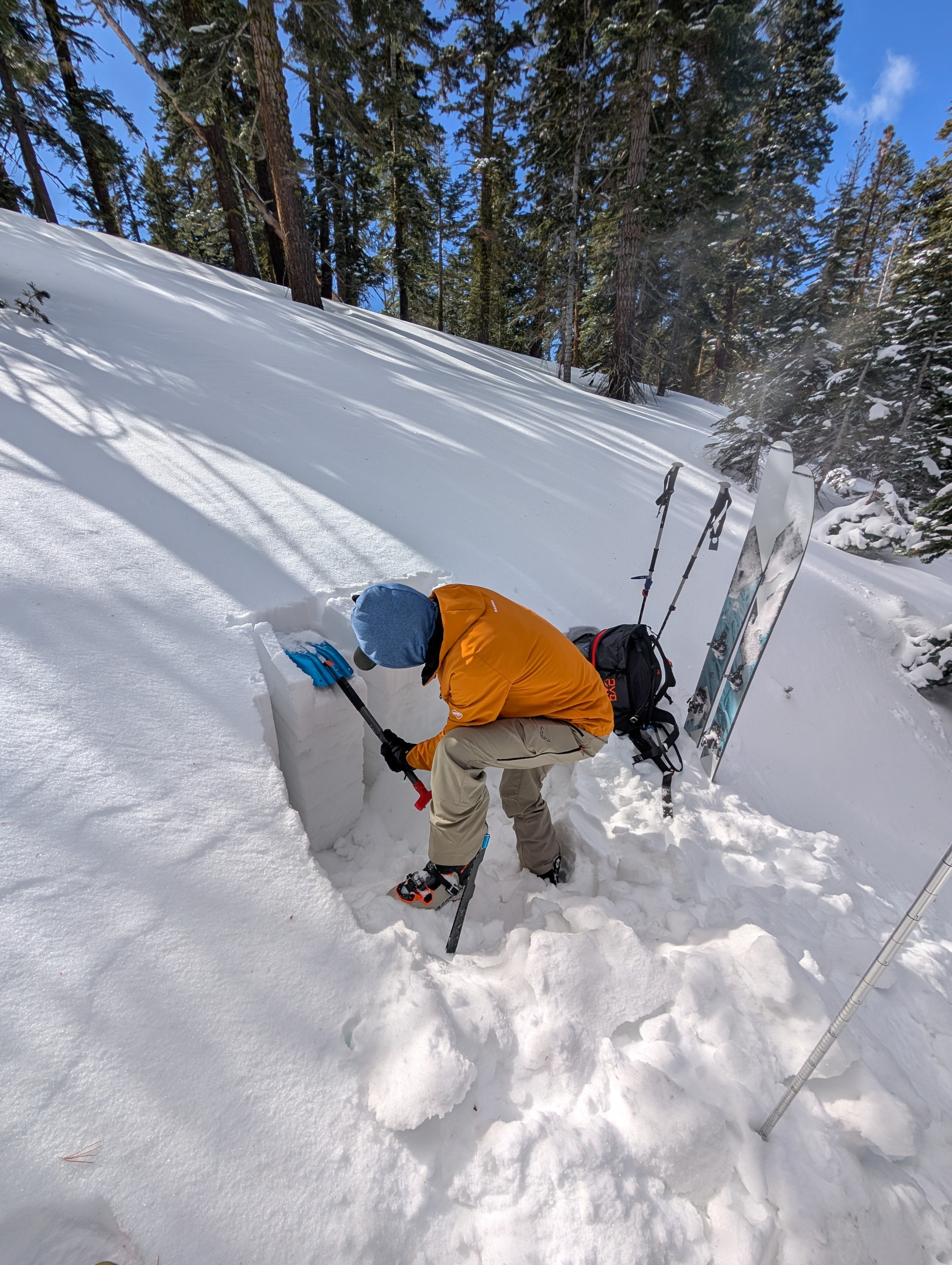
Snowpit tests at 8200 ft on a N aspect and 8900 ft on a NE aspect gave mixed information, with some tests yielding unstable results and others not. Still, the structure of a slab layer on top of weak snow was present in both places. We also toured across many N-NE-E aspects Between 8100 ft and 9000 ft without triggering any snowpack collapses or whumps.
Weather
- Cloud Cover
- few
- Wind Loading
- light
- Snow Avail For Transport
- small smounts
During our tour, we experienced cold temperatures, clear skies, and increasing SW to W winds.We saw some light blowing snow along the summit ridge.