
Quick report
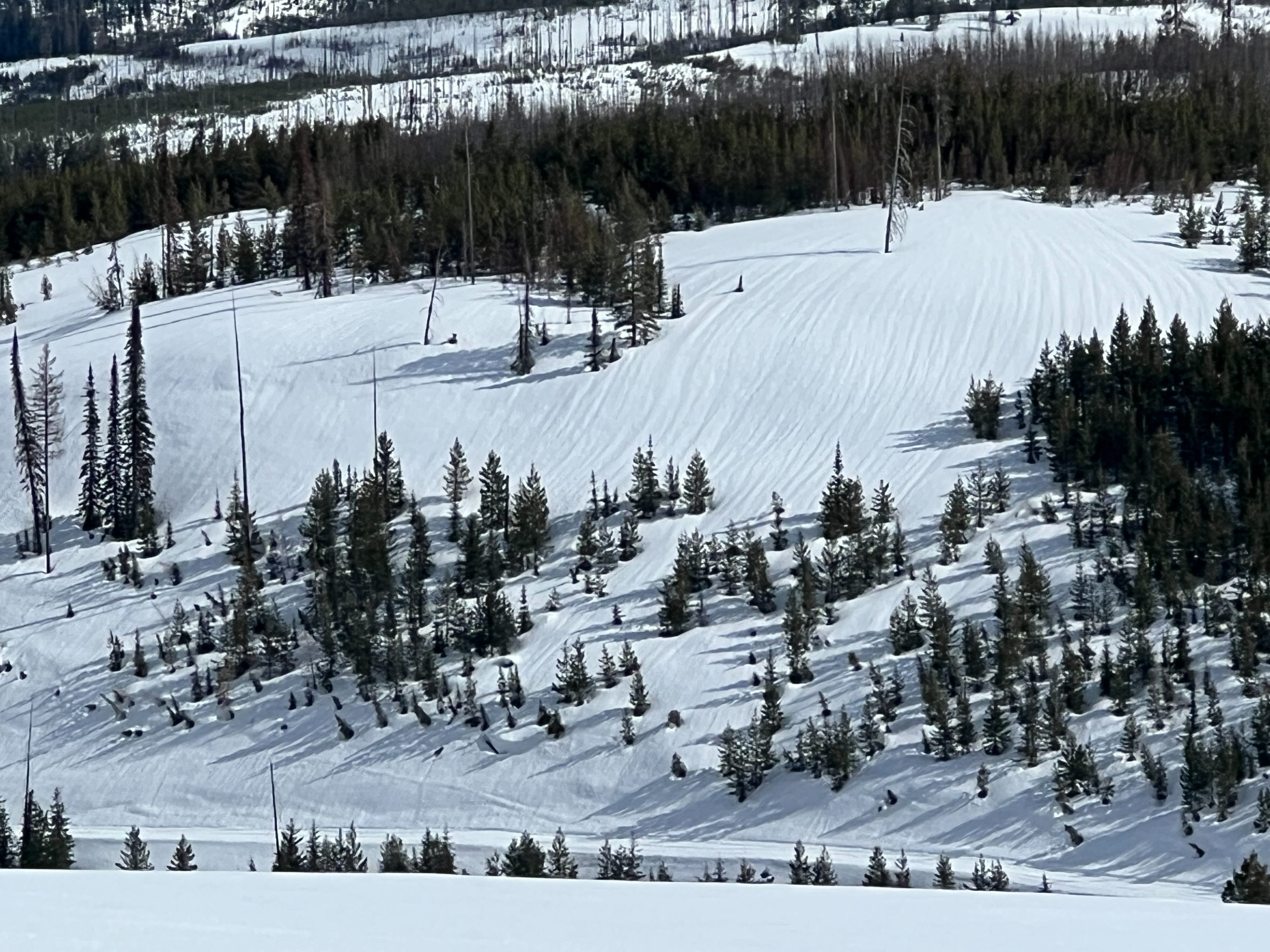
Our observations were focused on looking for previous wet loose avalanches, any recent cornice failures, and to see how deep in the snowpack any water has percolated from the recent warmup. We saw no new avalanches, no recent cornice failures, but did find moist snow from the surface down two feet below the surface. The water has been able to reach to the 4" Melt Freeze Crust that was buried two weeks ago.
Temperatures have been dropping at a slowish rate and have allowed for good bonding of any new snow to the old snow surface.
Weather
- Air Temp
- 37
- Cloud Cover
- broken
- Wind Loading
- none
- Rain Elevation
- 6000
- Recent Snowfall
- 3
- Snow Avail For Transport
- small smounts
We experienced a mix of Rain and Snow below 6,000' with intermittent snow showers above that elevation. Winds were calm to light/variable. Temperatures were in the mid 30's. Skies were moody- ranging from overcast to broken with the sun poking out, to low level clouds.
Snowpack
We found a strong snowpack that has seen water percolation through about the upper 2 feet down to the stout crust that was buried about 2 weeks ago. The water has reached this crust and has started to break down the hardness of the crust. The January Facets could be found about 2.5 feet from the surface and are well bonded and rounding. No alarming snowpack test results were observed.