
Quick report
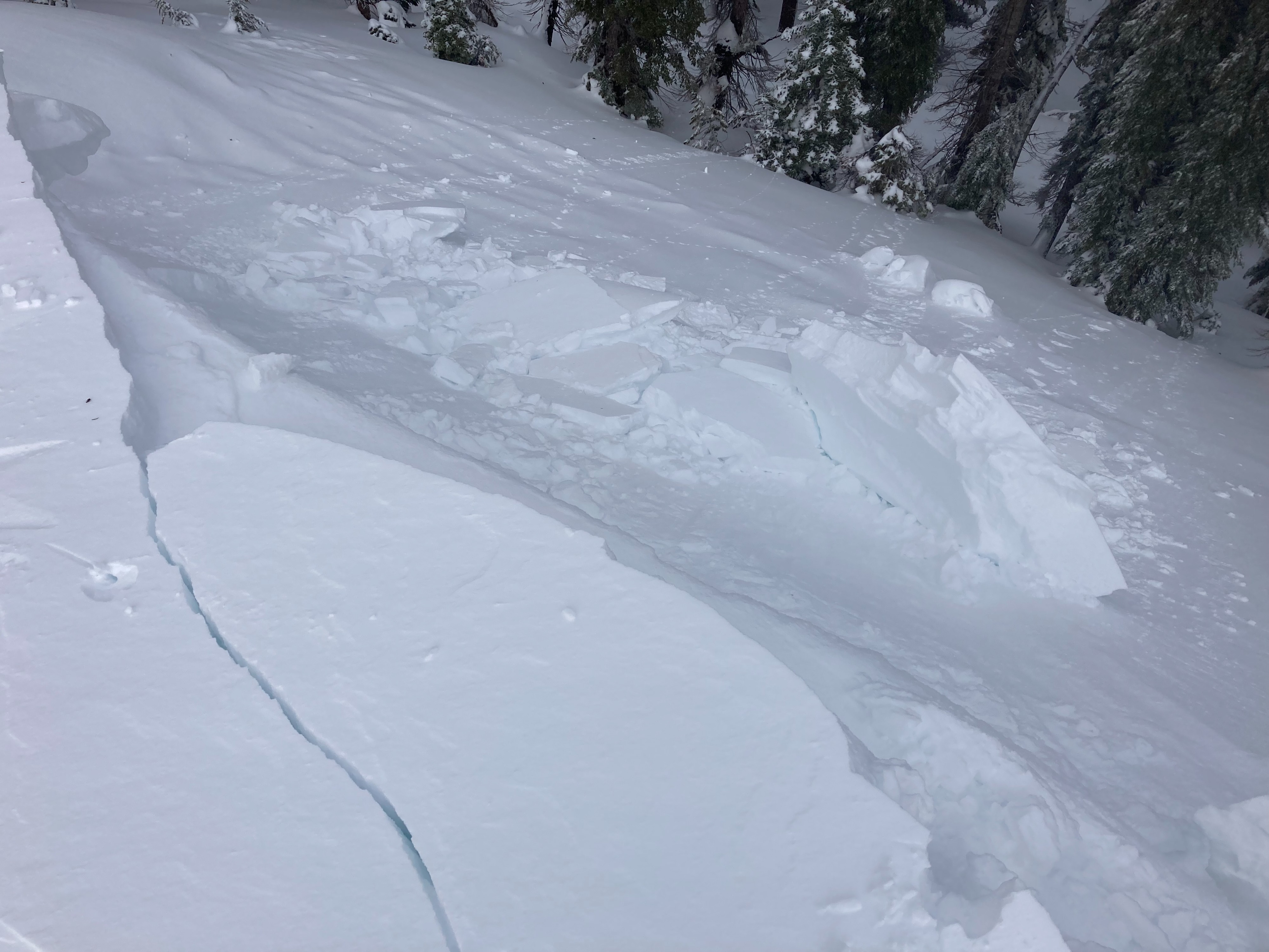
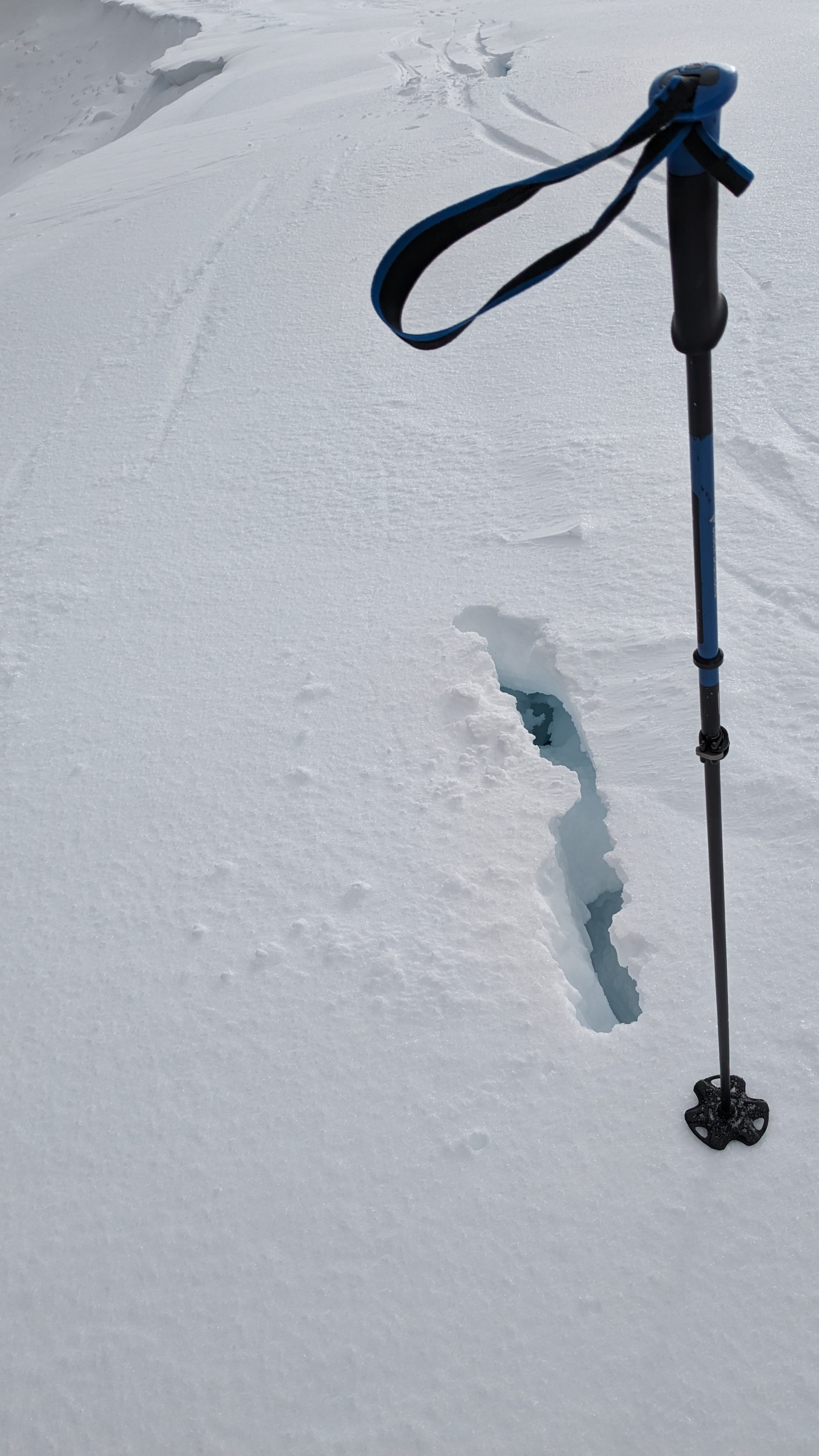
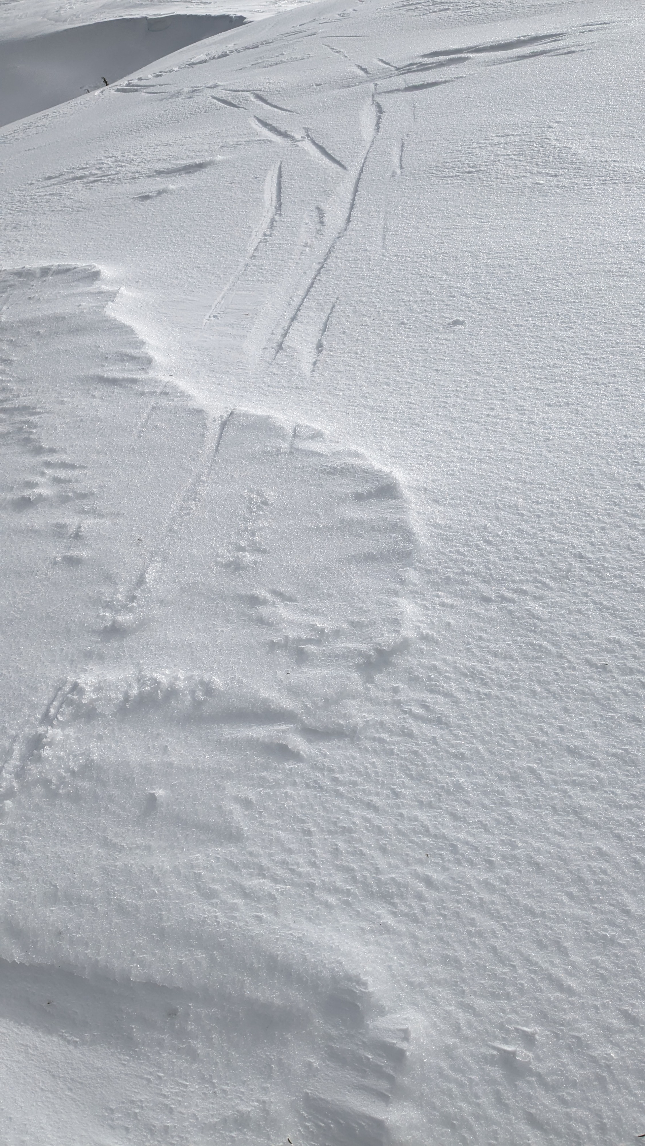
We toured on Mt. Judah this afternoon. As expected, new rain crust from last night was widespread on all aspects. It had clearly rained higher than the 8,200’ summit in this area. In wind protected areas, we encountered about 2 inches of recent new snow. Wind exposed areas were either scoured down to rain crust or were wind loaded 8 to 12 inches deep. Near cornice areas, wind slabs were dense and mostly unreactive. We did not encounter any obvious signs of instability associated with the Jan 2 PWL today (no fresh avalanches, no collapses, no cracking). With no obvious signs of instability present we chose to dig a test pit to evaluate the Jan 2 PWL. Our test results indicated triggering difficult but still a concern, which matched with our informal obs.
Weather
- Cloud Cover
- broken
- Wind Loading
- none
- Rain Elevation
- Somewhere above 8,200'
- Recent Snowfall
- 4
- Snow Avail For Transport
- none
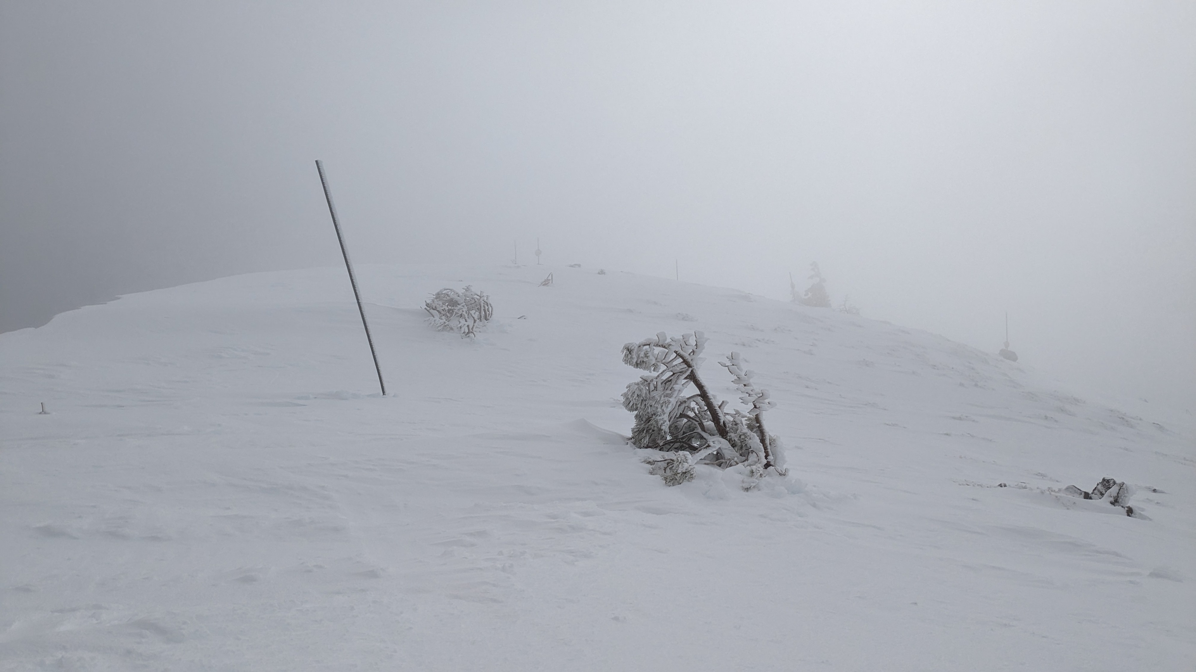
Some fog around the tops of the peaks that came and went. Gale force W winds on the ridgetops, but blowing snow was done in this area as the windward side had been scoured down to rain crust.
Snowpack
Having encountered no obvious signs of PWL instability we dug a testpit to check reactivity on the Jan 2 PWL. We chose an open area below treeline on a N aspect at about 7,870'. At this location, HS was 162cm and the Jan 2 PWL was found 100 cm below the snow surface. Test scores on Jan 2 PWL = CT-18 SC, ECTX, and PST 47/100 end. Propagation remains likely, but triggering difficult at this location.