
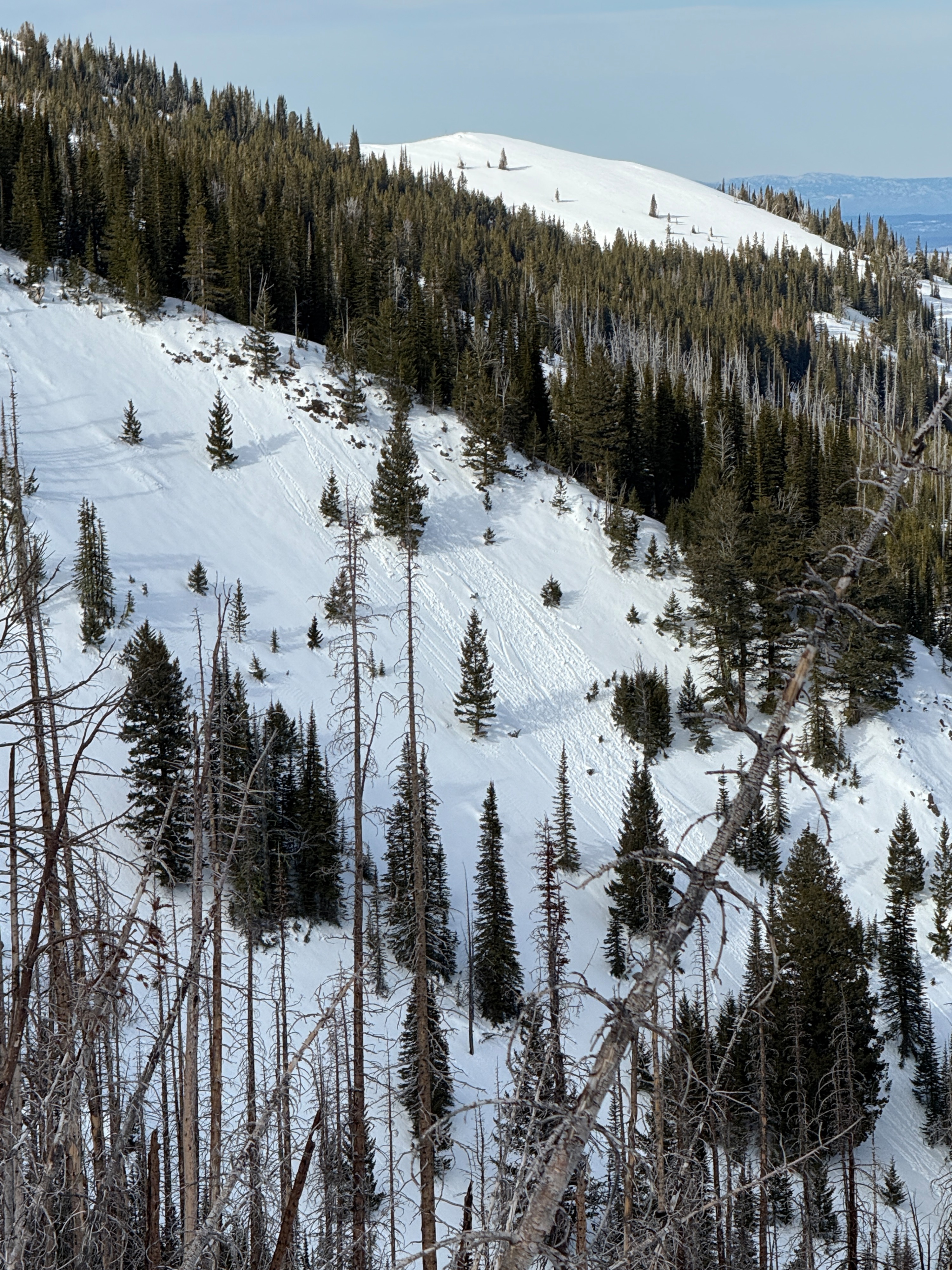
Quick report
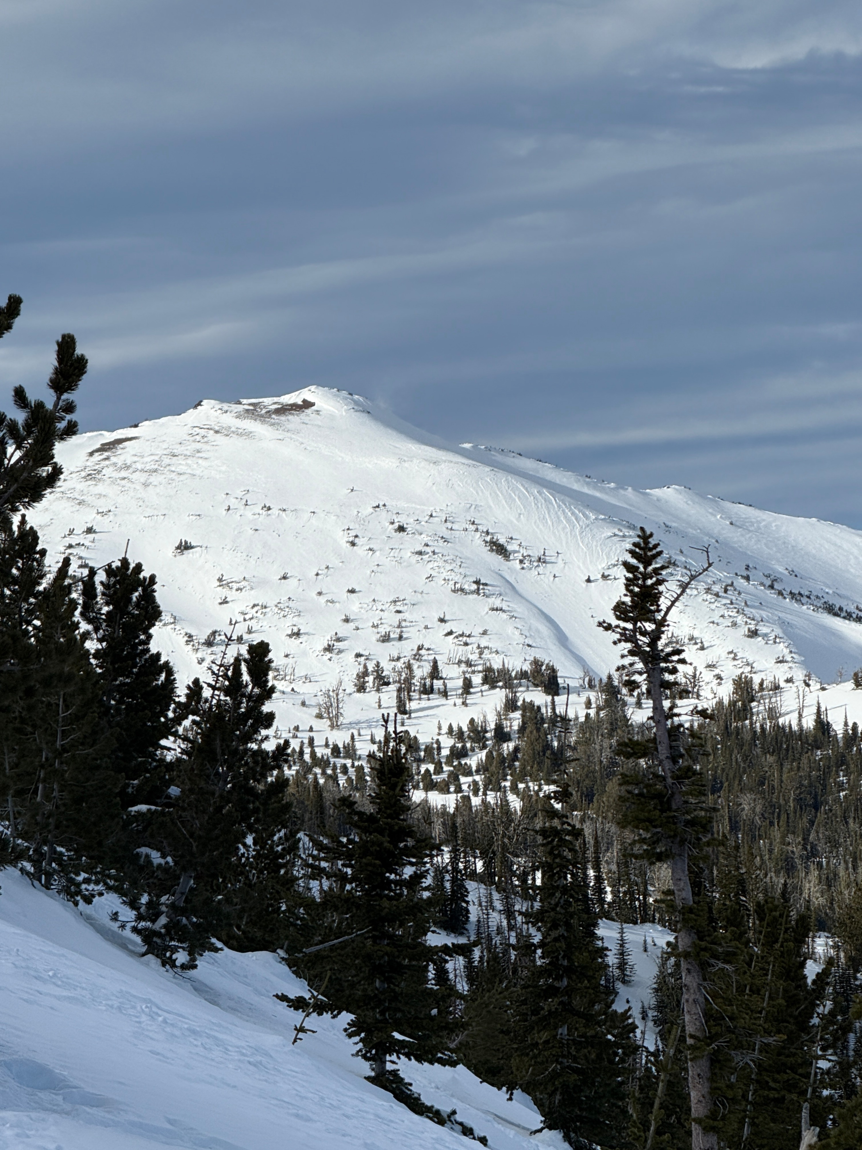
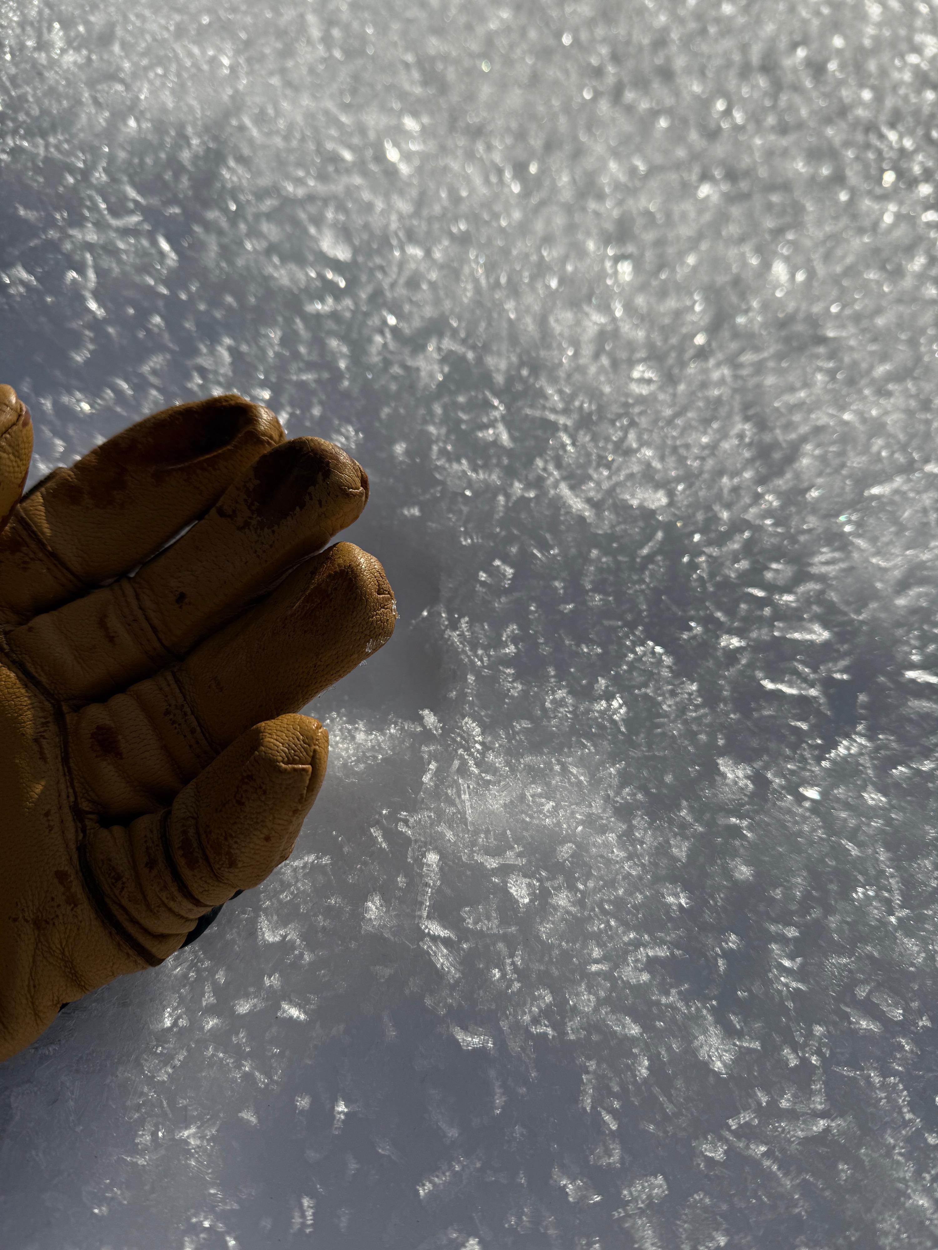
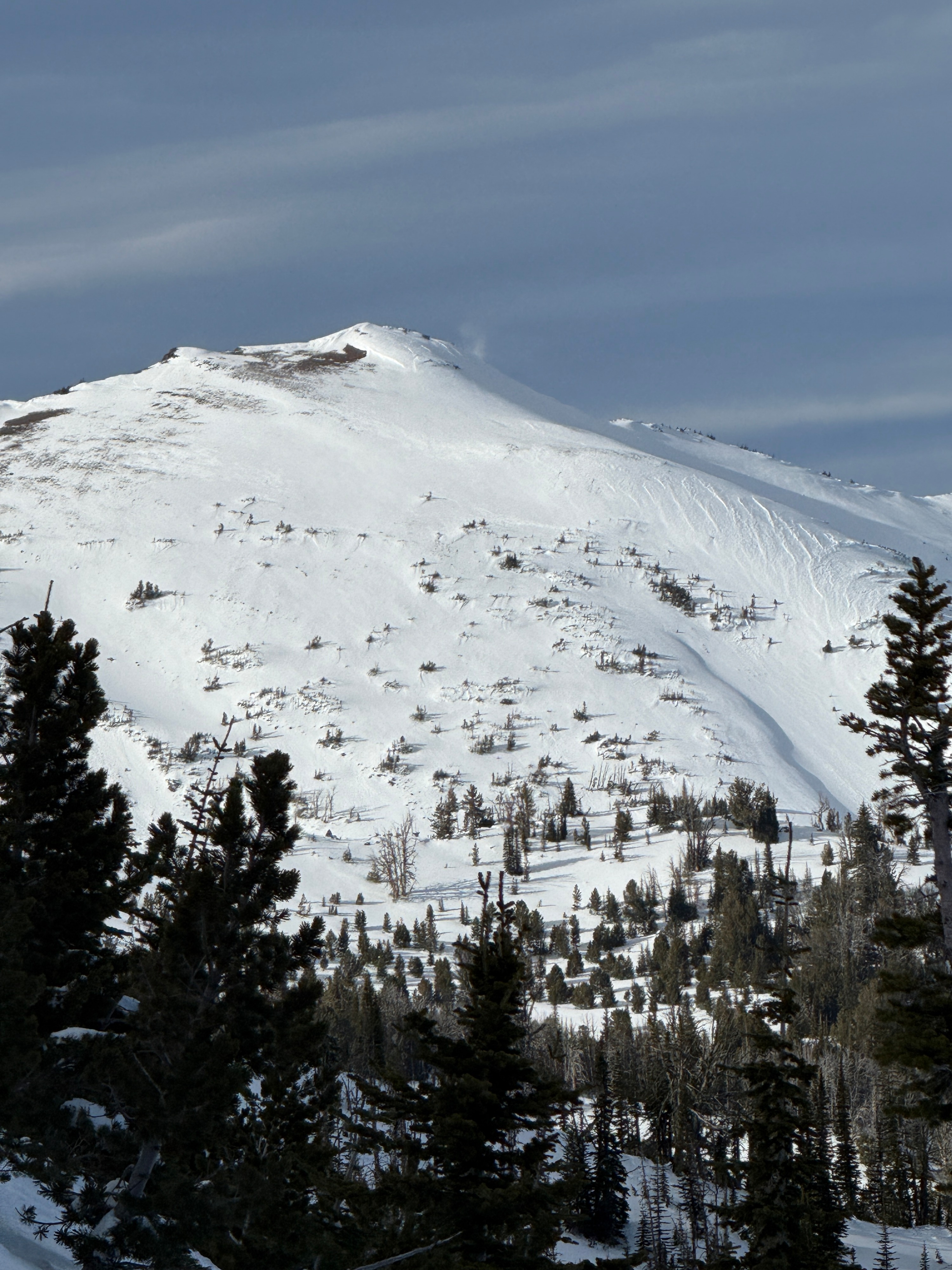
A warm day out there today, but shady aspects still hold cold snow. Noted some Surface Hoar at the snowpark and in sheltered below treeline terrain near creeks. Faceting of the snow surface has been occuring on shady aspects. A thin melt freeze crust exists on solar aspects. There was evidence of wind transported snow on higher elevation exposed ridgelines. Near the top of Phat Ridge, we felt wind stiffened snow, but none of it was reactive or very sizable. We also noted some roller balls on steep east aspect.
Weather
- Air Temp
- 45
- Cloud Cover
- scattered
- Wind Loading
- light
- Snow Avail For Transport
- small smounts
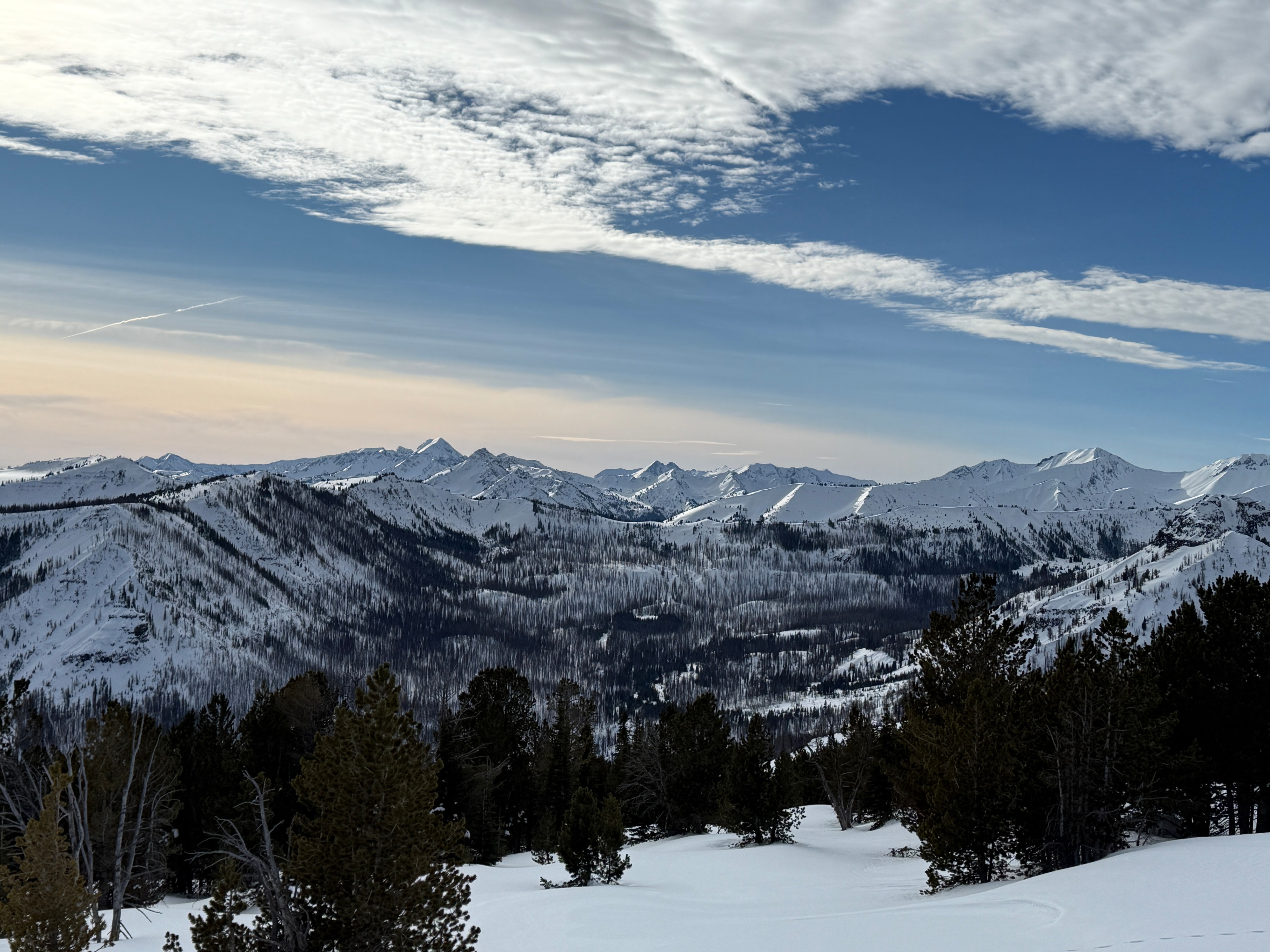
Warm temps up high. It was 18 when I left Enterprise and 36 when I got to Salt Creek Summit around 9:30. Intermittent high clouds throughout the day. 45 degrees at noon at 7700'.
Snowpack
I dug a pit on a northeast aspect at 7700' and found about 4 feet or 130cm of total snow. The snowpack was mostly right-side up and the 12/18 crust was 70 cm from the surface. The crust/weak snow sandwich that I had observed almost 2 weeks ago has seemed to gain strength. The layer below this crust sandwich was a layer of 4F hard, rounding facets- with which I could almost make a snowball. I had a couple snowpack test results in the newest snow, both on layers of graupel within the new snow. The lower one, a little less than 1 foot from the surface, failed on a thin crust with graupel above it. ECTN20 down 15cm CT24RP down 25 cm.