
Quick report
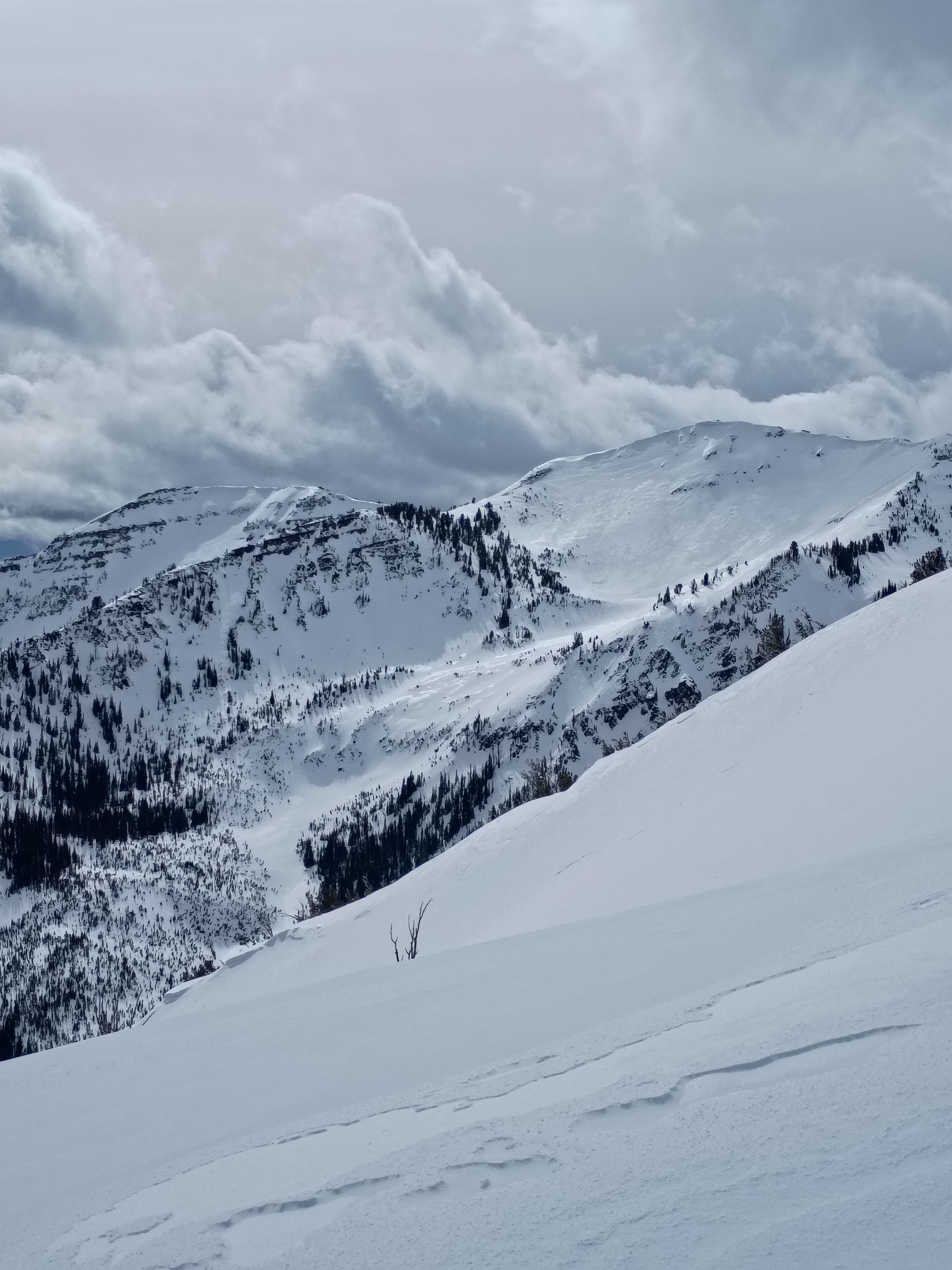
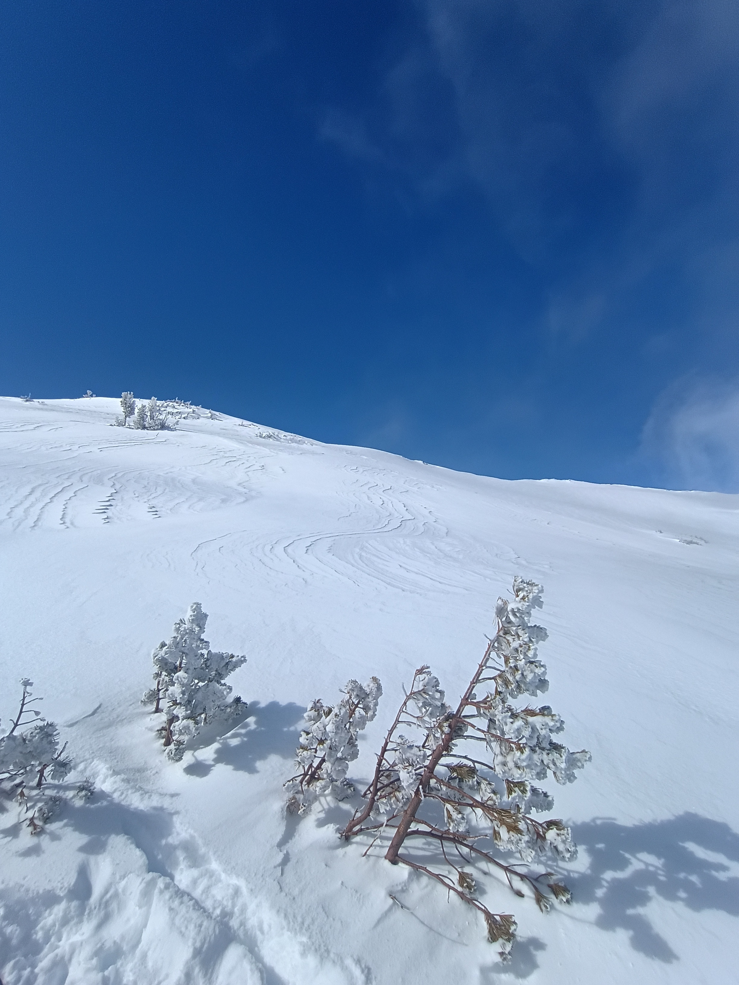
Dug a pit around noon on 3/13/26 at 8600' on a ENE aspect with a slope of 30 degrees. It was partly cloudy, right around freezing, with a light wind that shifted around. In this location there was more than 300cm total snow with 20cm of heavy fresh. CT17RP on the storm snow and CT28 and CT29 on the Valentines and 2/8 layers, which were about 45cm and 85cm down respectively. ECTN17. Similar results with no propagation on suspect layers. Decided to ski larger exposed lines in the 30-35 degree range on E/ENE aspects. No wind slabs observed up high, and the snow was supportable and consistent from top to bottom of the run. Saturday 3/14/26 was much colder, with temps in the teens and a strong wind out of the north with snow on and off. About 4" accumulated. Wind was strong enough to form crusts on ridgelines and cause some rough patches on exposed slopes, but overall it wasn't too bad to ruin the north face at mid-elevation. Dug a pit at 0900 on 3/13/26 at 8000' on a ESE aspect with a slope of 30 degrees. It was sunny, around 20F, with no wind. Basically right around the corner from the previous pit but on a solar and windward aspect, total snow hovered around 110cm with the bottom 50cm being all facets. CT5RP 10cm down on the storm snow, and then CT18RP 20cm down and CT22 50cm down. ECTN5 on the new snow and now breaks or propagation on any layers below. It was possible to get the blocks to fall in a slab when prying them out with the shovel, but it took a lot of force. Skied ESE aspects before noon that held good snow. No signs of instability observed and it seemed like the erratic warmup and cooldown helped heal the PWL some.