
Quick report
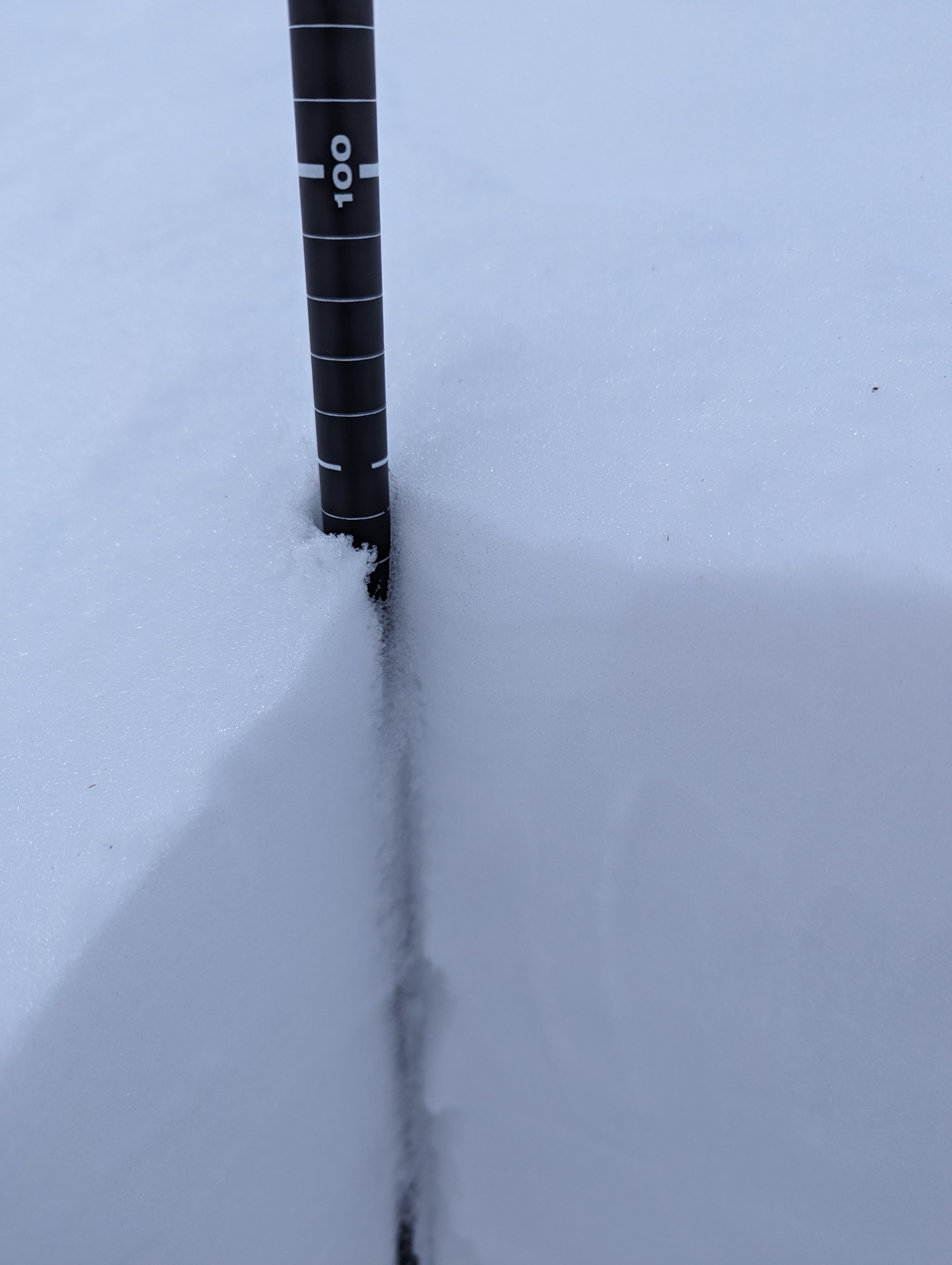
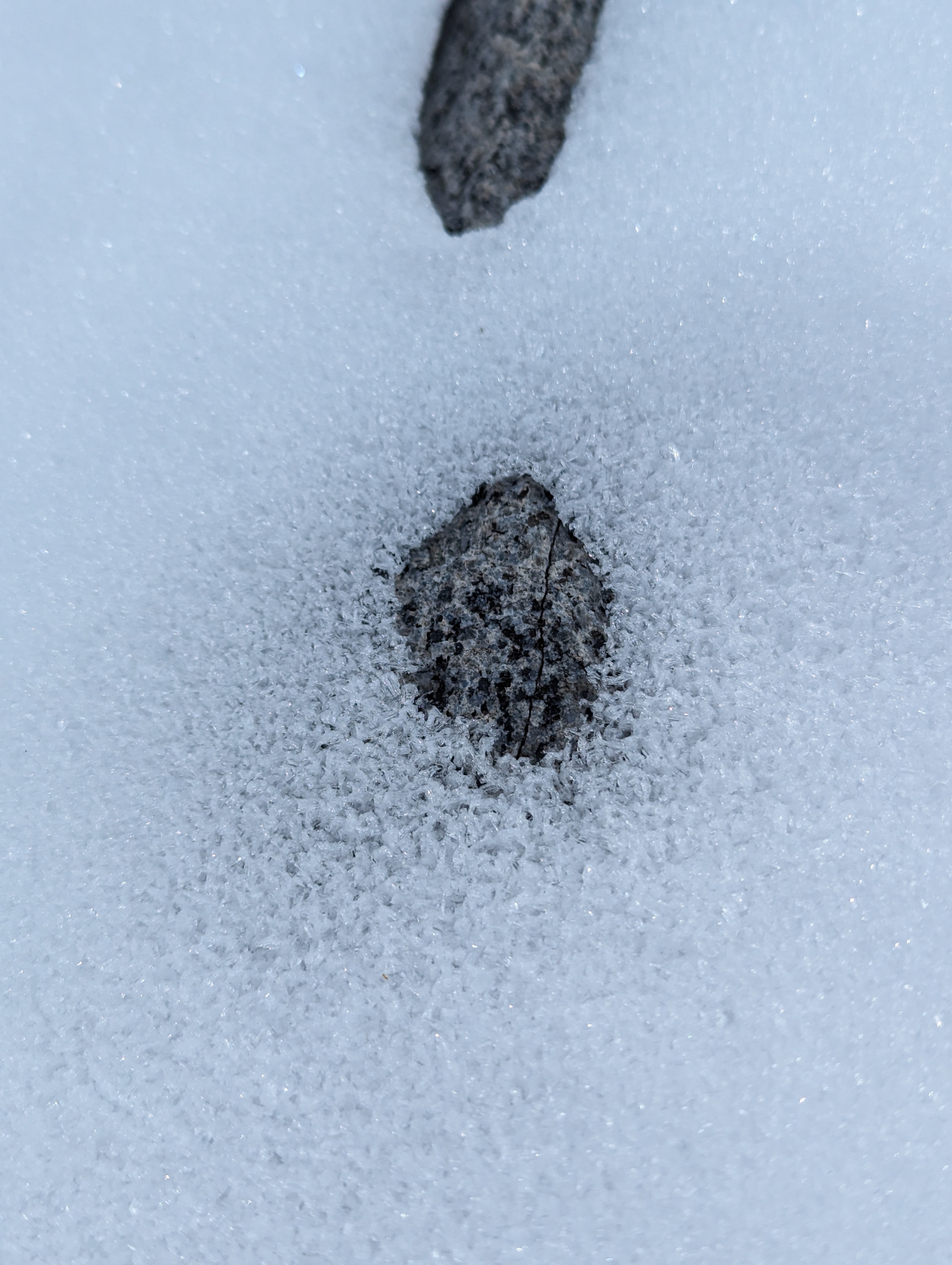
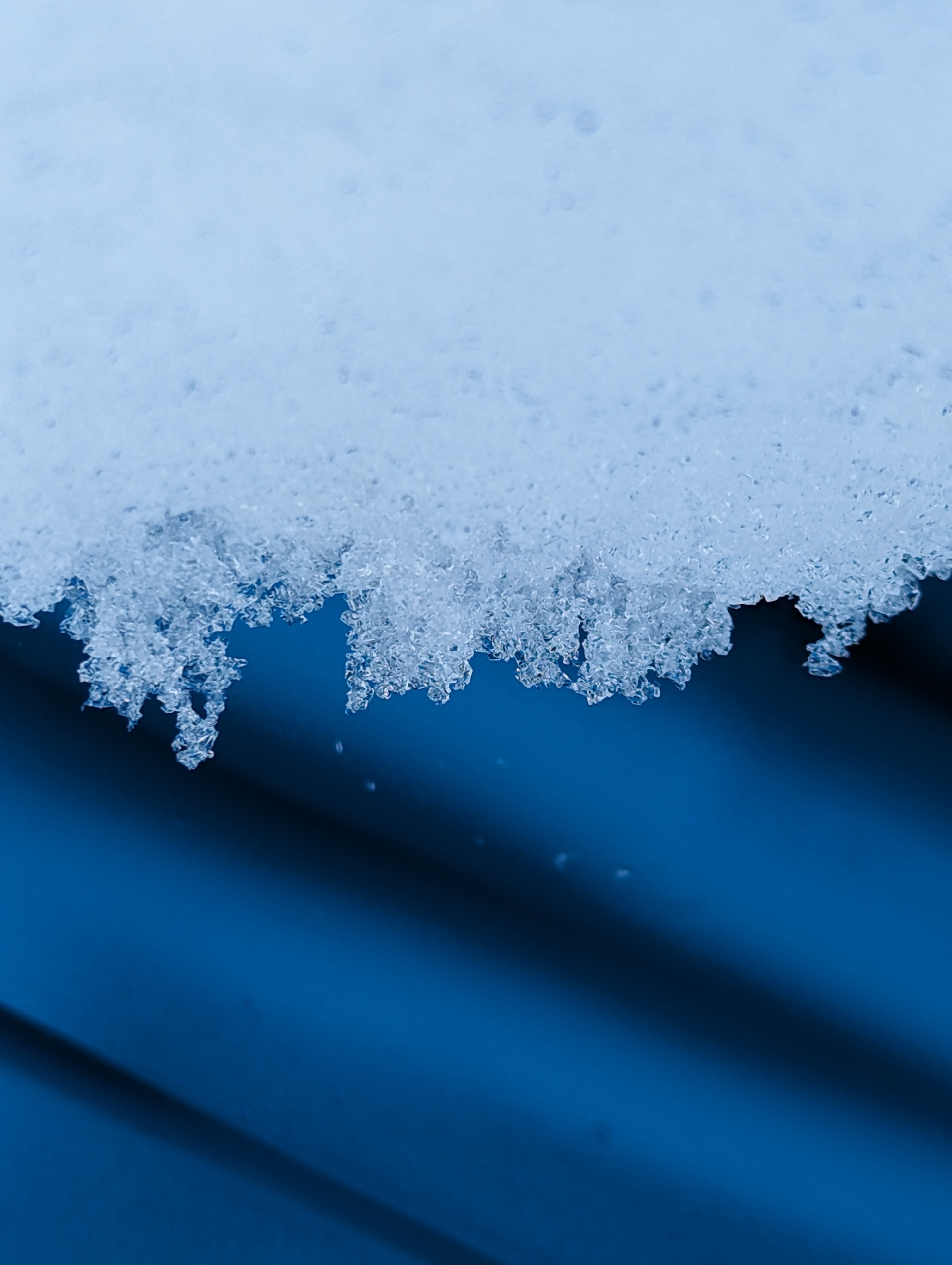
I followed the same general route as I did on 12/11, to see what's changed and to assess the snowpack prior to the incoming storm. The snowpack was shallow but usable, with small facets on the surface making for enjoyable skiing even though it hasn't snowed in a while. Deeper facets are still present in this area, but where they were dry and fist hard on 12/11, today they were moist and four finger hard. ECTs and Deep Taps did not indicate instability.
No signs of instability observed today. Although I found facets at the ground, ECTs and Deep Tap tests did not produce unstable results.Weather
- Cloud Cover
- broken
- Wind Loading
- none
- Recent Snowfall
- 0
- Snow Avail For Transport
- small smounts
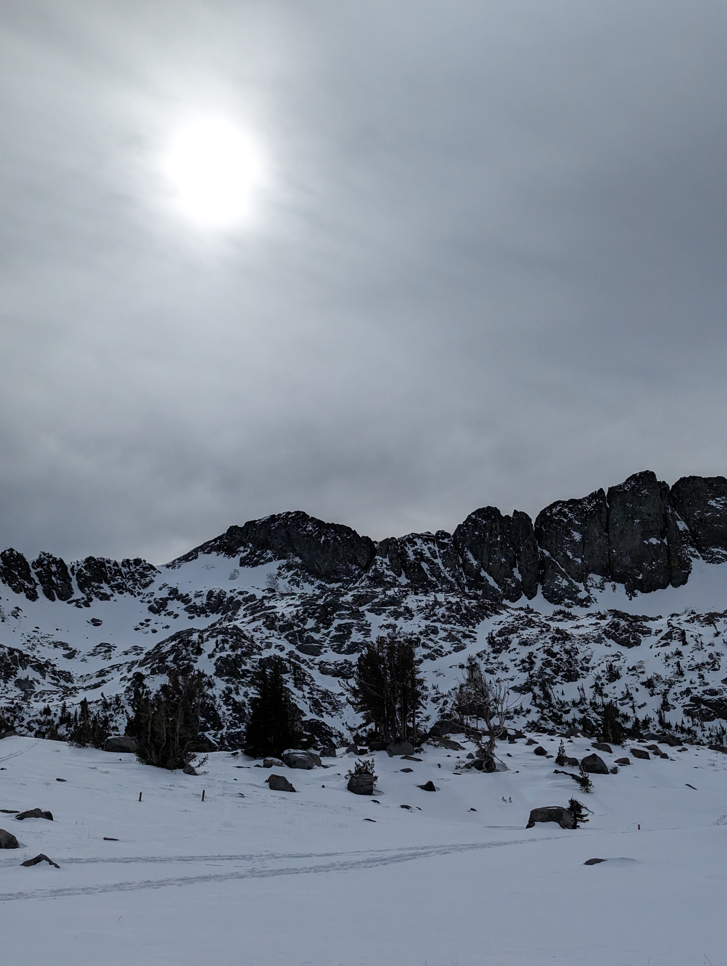
Warm day even though incoming storm clouds were blocking solar input. Morning winds were calm to light from the south. Mid-day winds were light to moderate from the southeast/east.
Snowpack
Most cold slopes had small facets at the surface, and in many places a thin (1-3") layer of stronger wind blown snow was on top of the facets. Informal obs showed easy and clean fractures under the wind blown snow. I dug a snowpit near where I did one last week, and the facets at the ground appeared to be gaining strength. Last week they were dry and fist hard. Today they were moist and four finger hard. ECTs and Deep Taps did not indicate instability. Mid-pack was strong, with pencil and one finger hard rounds observed.