
Quick report
For all the signs of avalanche activity in the last week, travel conditions on the descent were the most hazardous part of the day. The surface crust that made for tricky turns also kept in check wind slab layers that formed in the past 24 hours, and also prohibited fresh slab formation. Notably low snow cover in the small drainage behind False Herman.
While we didn't really dig into upper spx layering, it was apparent that upper elevations still held plenty of dry snow to react to warming and rain this weekend, while mid-elevation snow was moist and dense enough that it should be less reactive compared to Jan 19-20. Lower elevations are mostly rained out and many of the steep slopes and cliff features have shed a big percentage of their snow cover, but some still snow remains to shed with additional rain.
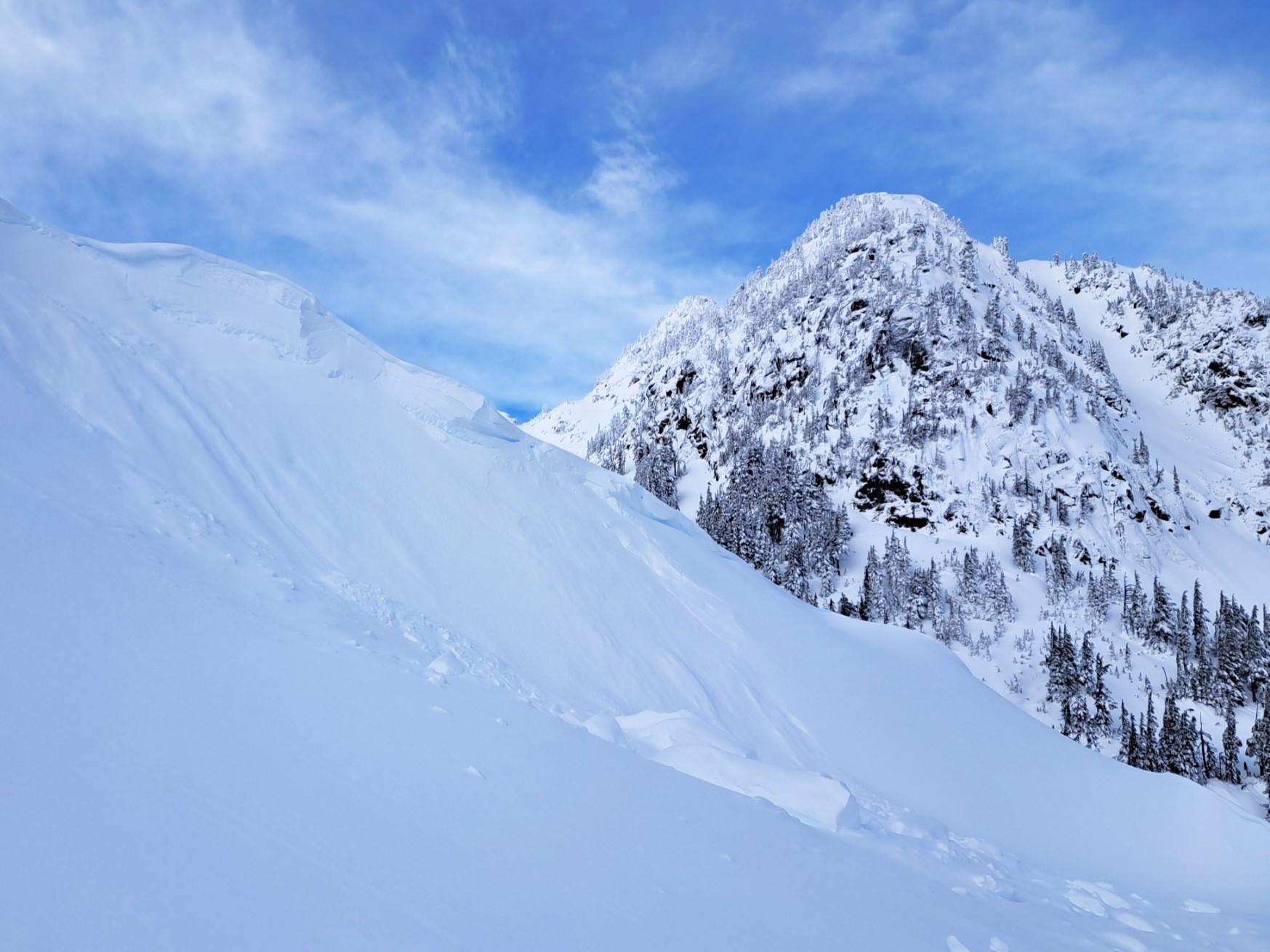
Few signs of instability. Cornices and wind-loaded features produced no cracking. Hand shears identified a few areas with stubborn wind slabs. Ski cuts, etc produced no results despite lots of wind drifted snow.Weather
- Cloud Cover
- broken
- Wind Loading
- none
- Rain Elevation
- 4500'
- Snow Avail For Transport
- none
Broken going to overcast through the morning. Near-freezing temps @ 5000' but moderate to strong winds kept it cool in wind-exposed terrain. Very minor wind drifting - would have been more notable if there hadn't been a firm crust capping the snow surface on all aspects.
Snowpack
A crust topped the surface from 4200' up to at least 5800'. It melted down at lower elevations but stayed frozen at mid and upper elevations. At 5000', there appeared to be 80cm of new snow that had fallen since the beginning of the week. Lower elevations had the occasional crust and obviously rain-affected snow mixed in with new snow layers. Mid elevation layers were moist and dry snow was found below the surface crust up high. 150-220cm over the 12/30 crust.
Avalanche
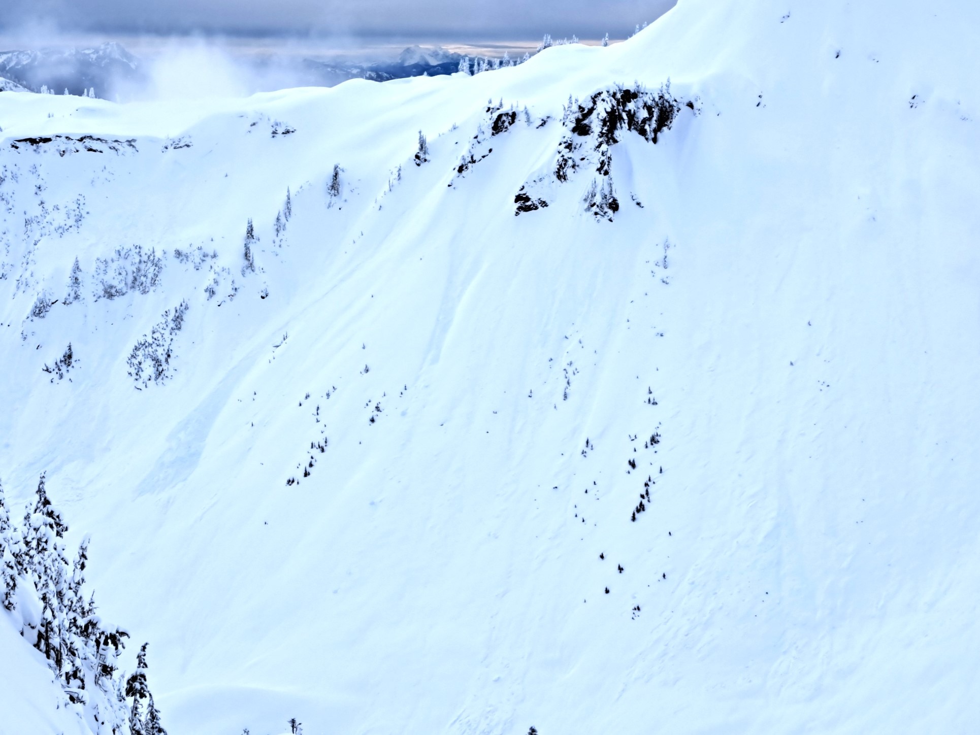
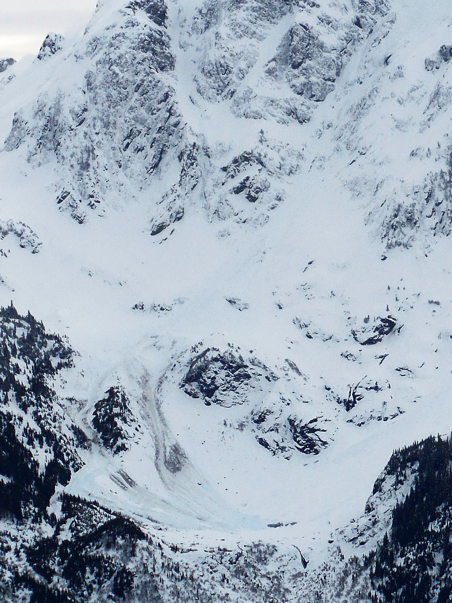
Signs of many wet loose, slab and cornice fall avalanches from the first warm-up last weekend. Many had crowns partly filled in with recent snow and chunky debris was also covered with new snow. A few avalanches seemed more recent based on debris appearance. Wet loose on Table, north aspect at 5000' (WL-N-D2-S). Shallow slab on hanging snowfield above the Boulderfield, triggered by tree bomb or small wet loose (SS-N-D1.5-S). Large debris under the NW aspect of Shuksan that terminated at 4200' - D3, not sure if it was a wet loose, slab, etc.