
Quick report
- Cracking
- specific
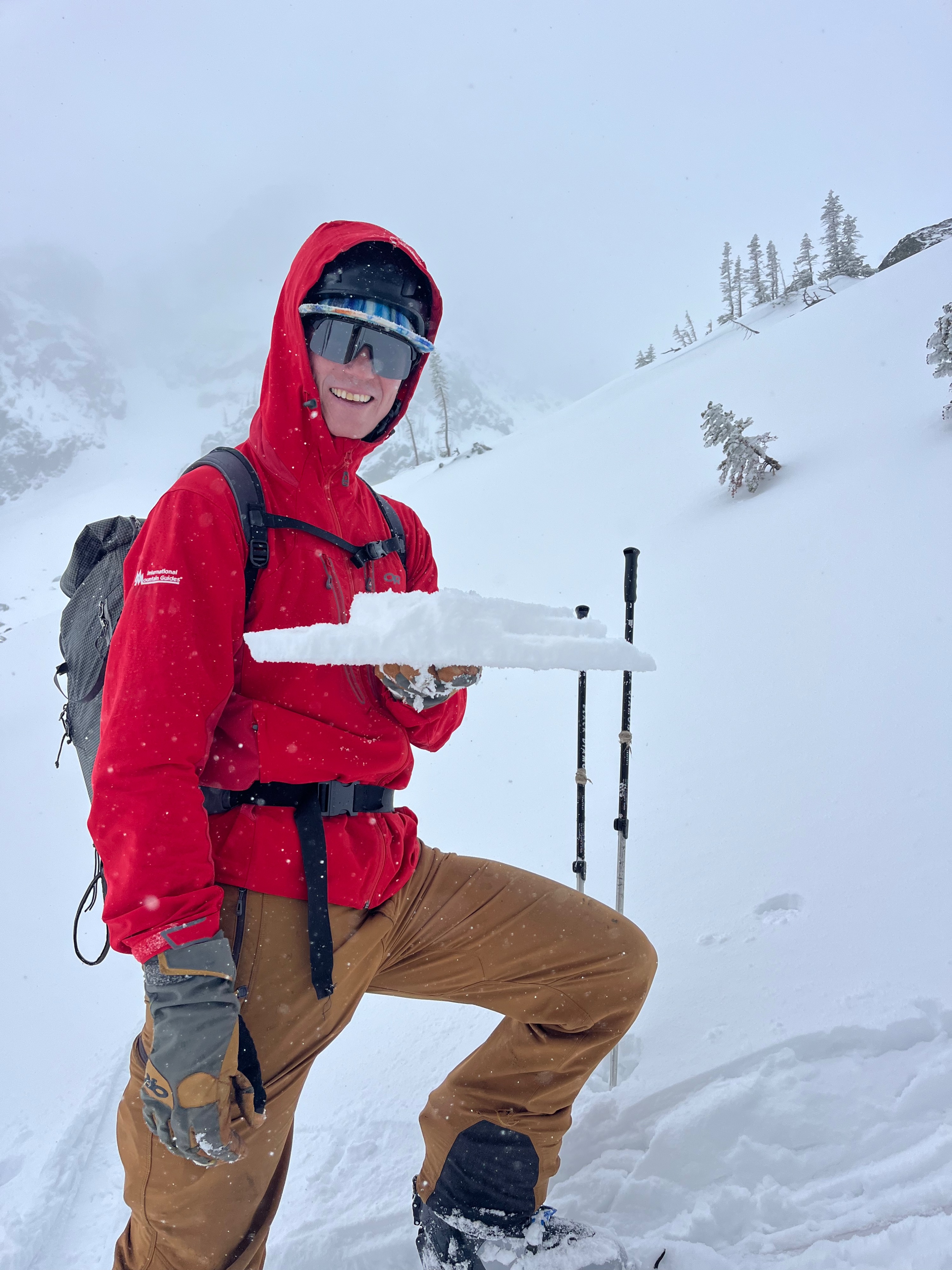
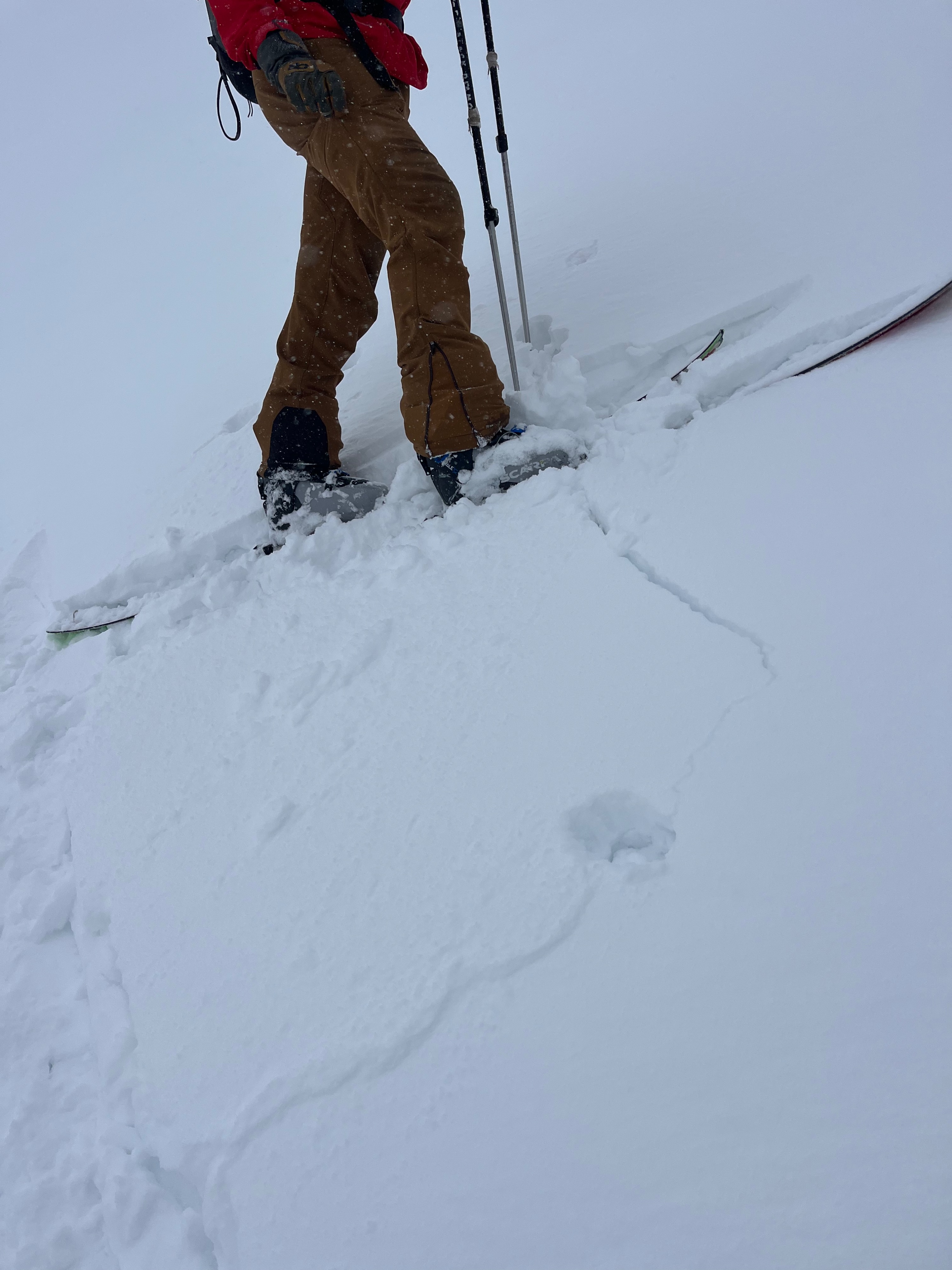
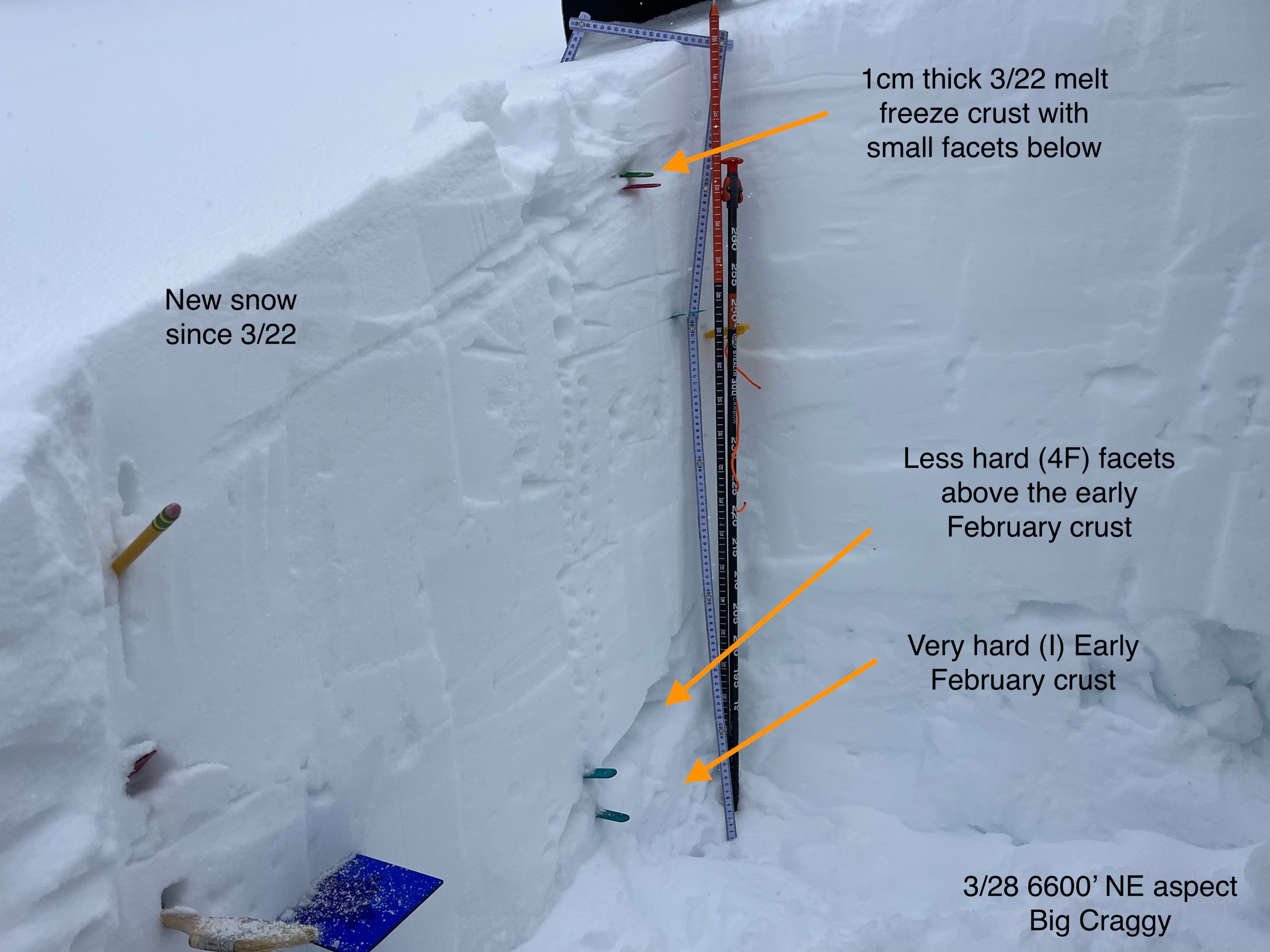
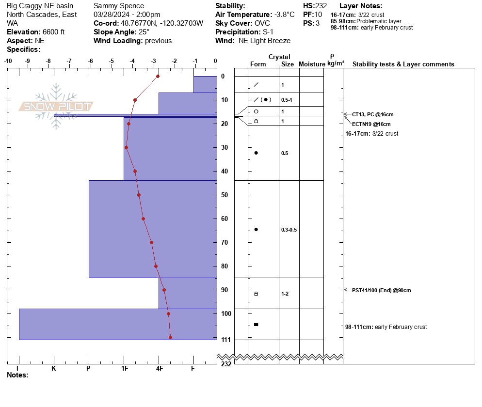
We travelled up eight mile and took a look at the snowpack near Big Craggy. Graupel fell from the sky in a light NE wind. We found a 200+cm snowpack above 6000'. Things have stayed colder in the zone in recent weeks. We observed shooting cracks in shallow pockets of wind slab. The 3/22 crust is only 1 cm thick at 6600'.
We obsered shooting cracks in shallow wind slabs. In some cases the slab would include the 3/22 crust and other times the failure would be in the storm snow above the crust.Weather
- Air Temp
- 25
- Cloud Cover
- overcast
- Wind Loading
- light
- Rain Elevation
- 3800'
- Recent Snowfall
- 3cm
- Snow Avail For Transport
- moderate amounts
Graupel snow fell intermittently with a light NE wind. Skies remained mostly overcast.
Snowpack
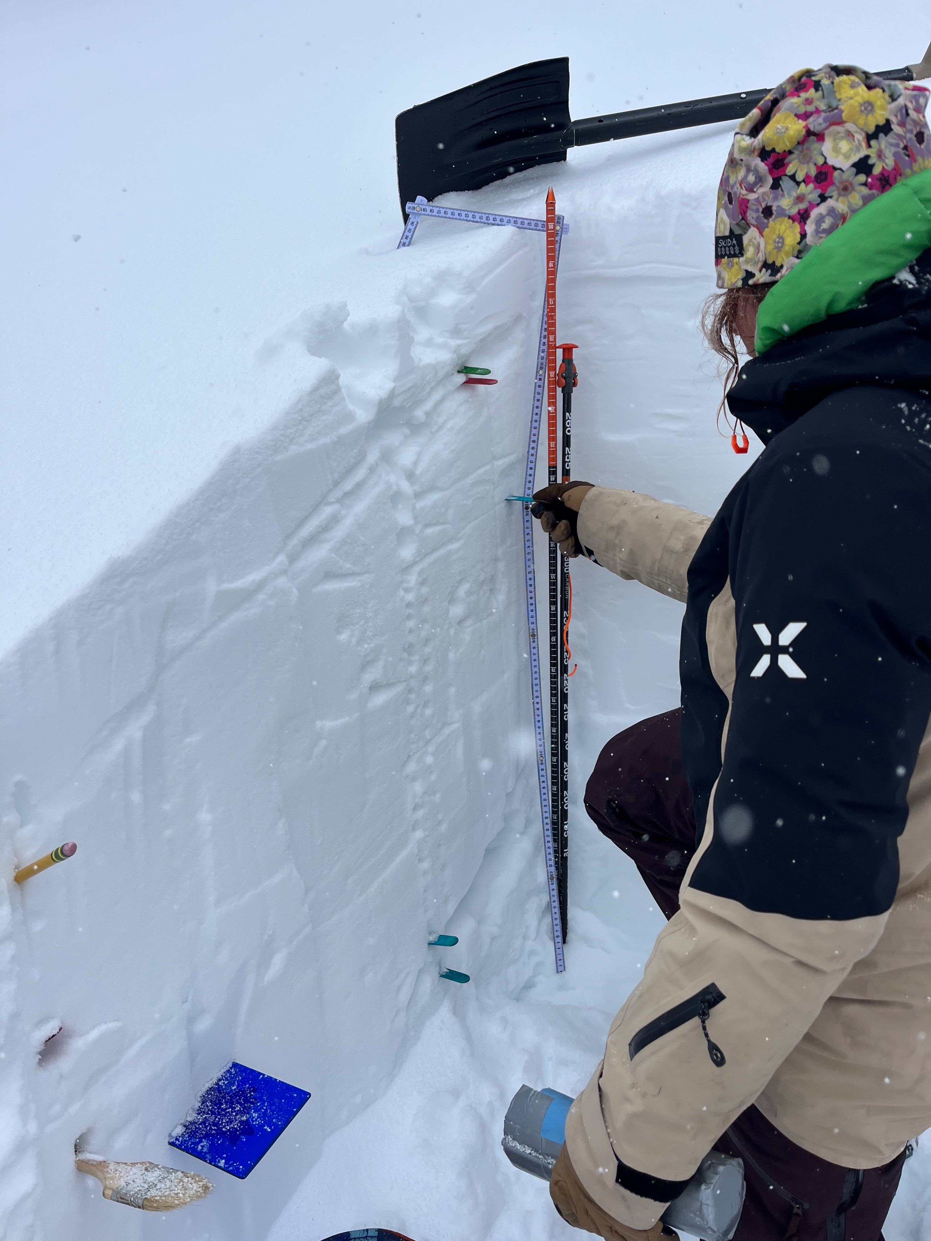
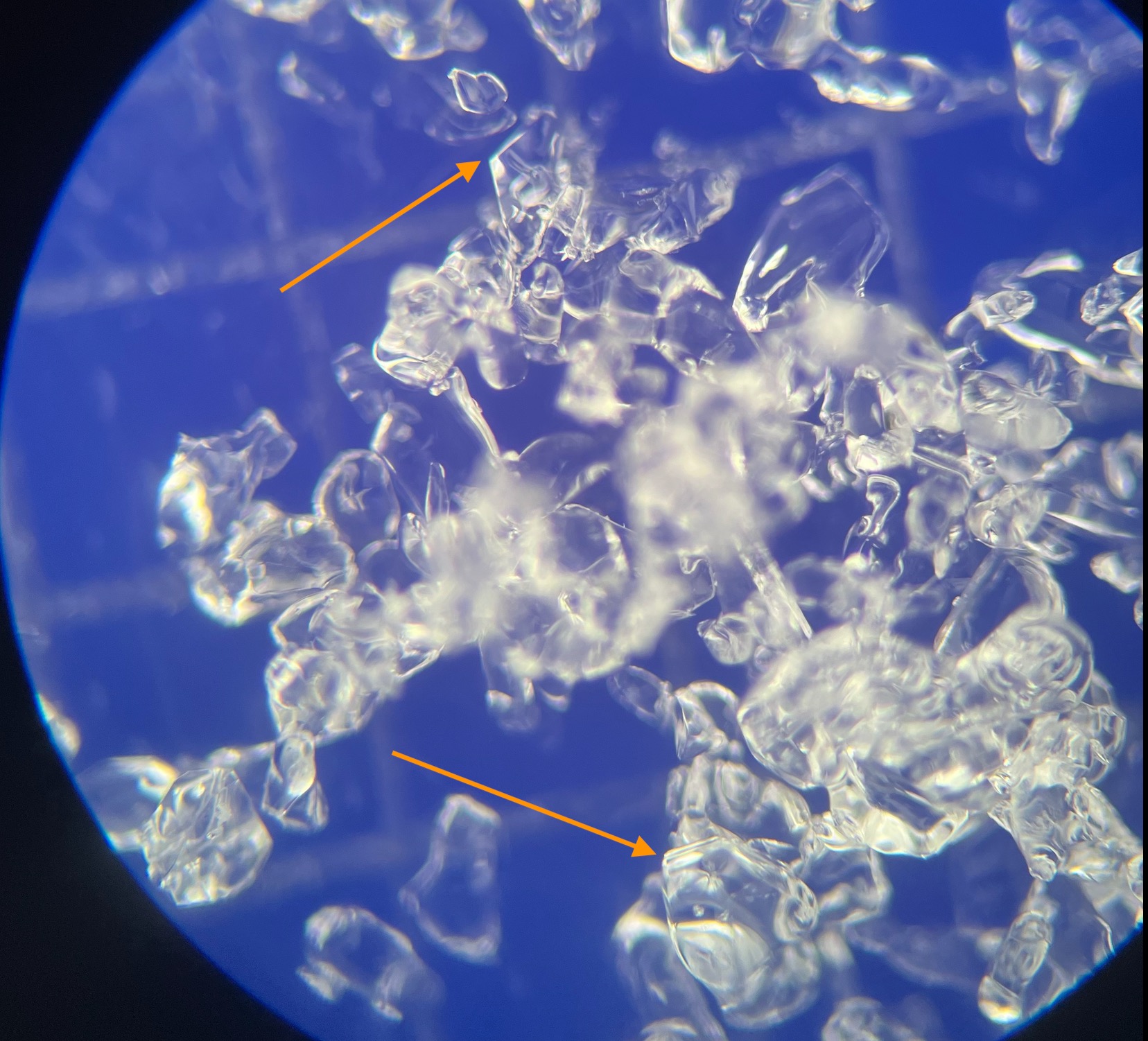
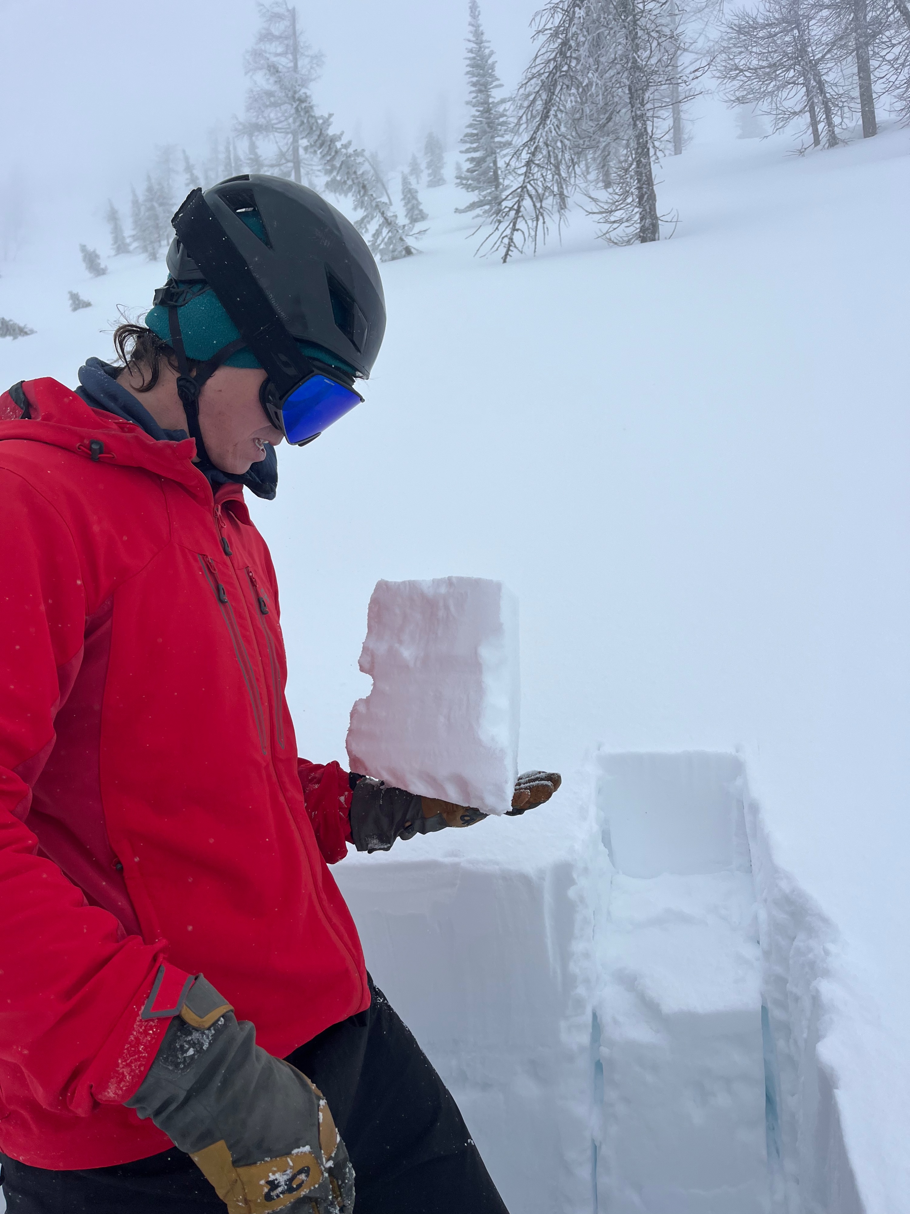
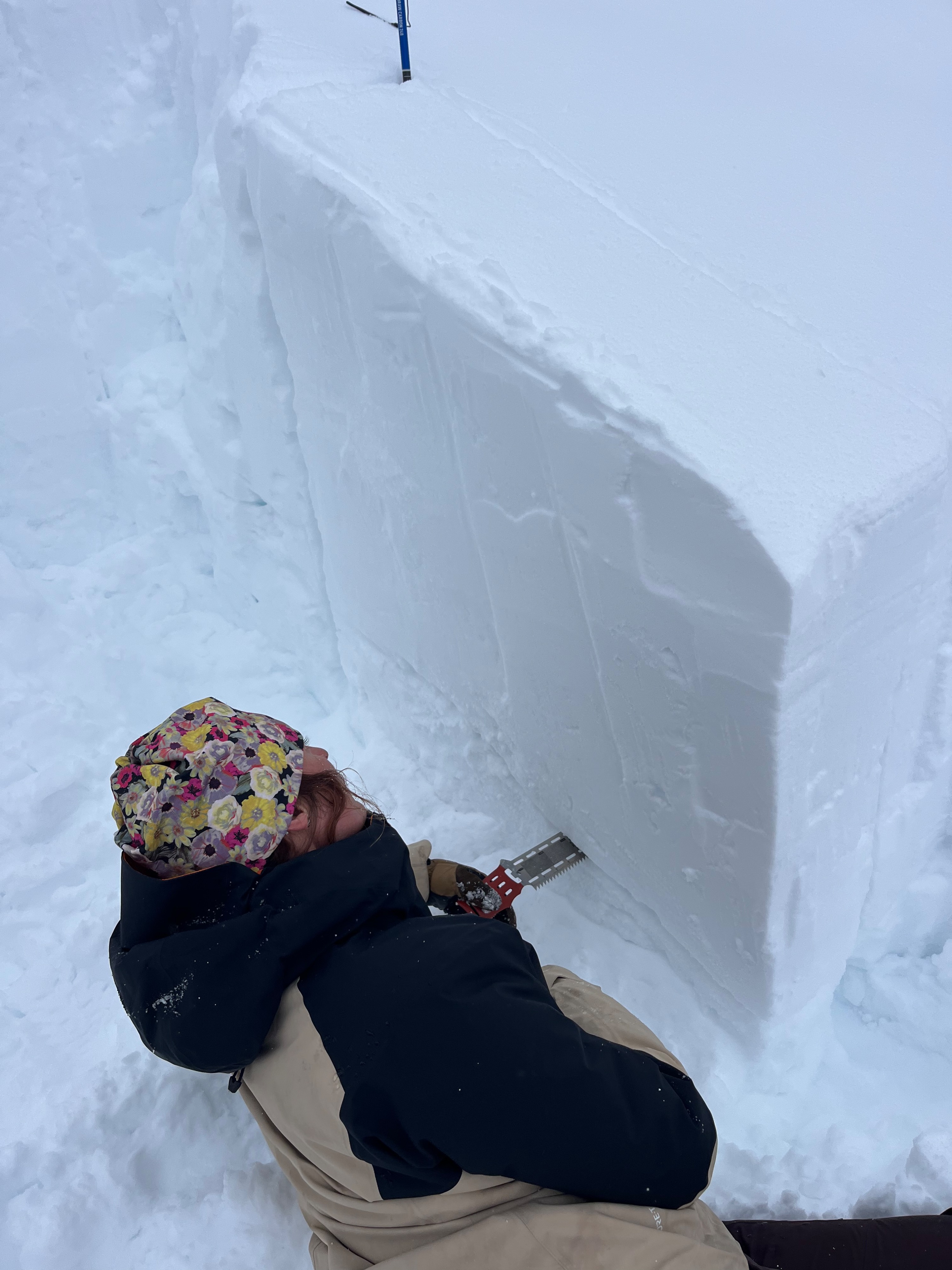
Below 4000' there isn't much snowpack to speak of. Above 5000' There is a steady 100cm snowpack with a 30cm thick 3/22 melt freeze crust. Once we got above 6000' things appeared much more wintery and we found a snowpack deeper than 200cm in most places. In shaded terrain near 6500' there is little to no 3/22 crust. This is kind of amazing when you consider the week long warm spell in mid March. This zone seems to have stayed colder than other parts of the East North . Deeper in the snowpack there are preserved facets above the early february crust. Those cold temps in mid February did a number on the snowpack here. We experienced no collapses while travelling. In a propagation saw test we had somewhat middling results with propagation to to end at 41cm out of 100. This colder more easterly snowpack has held onto some basic structural problems.
Avalanche
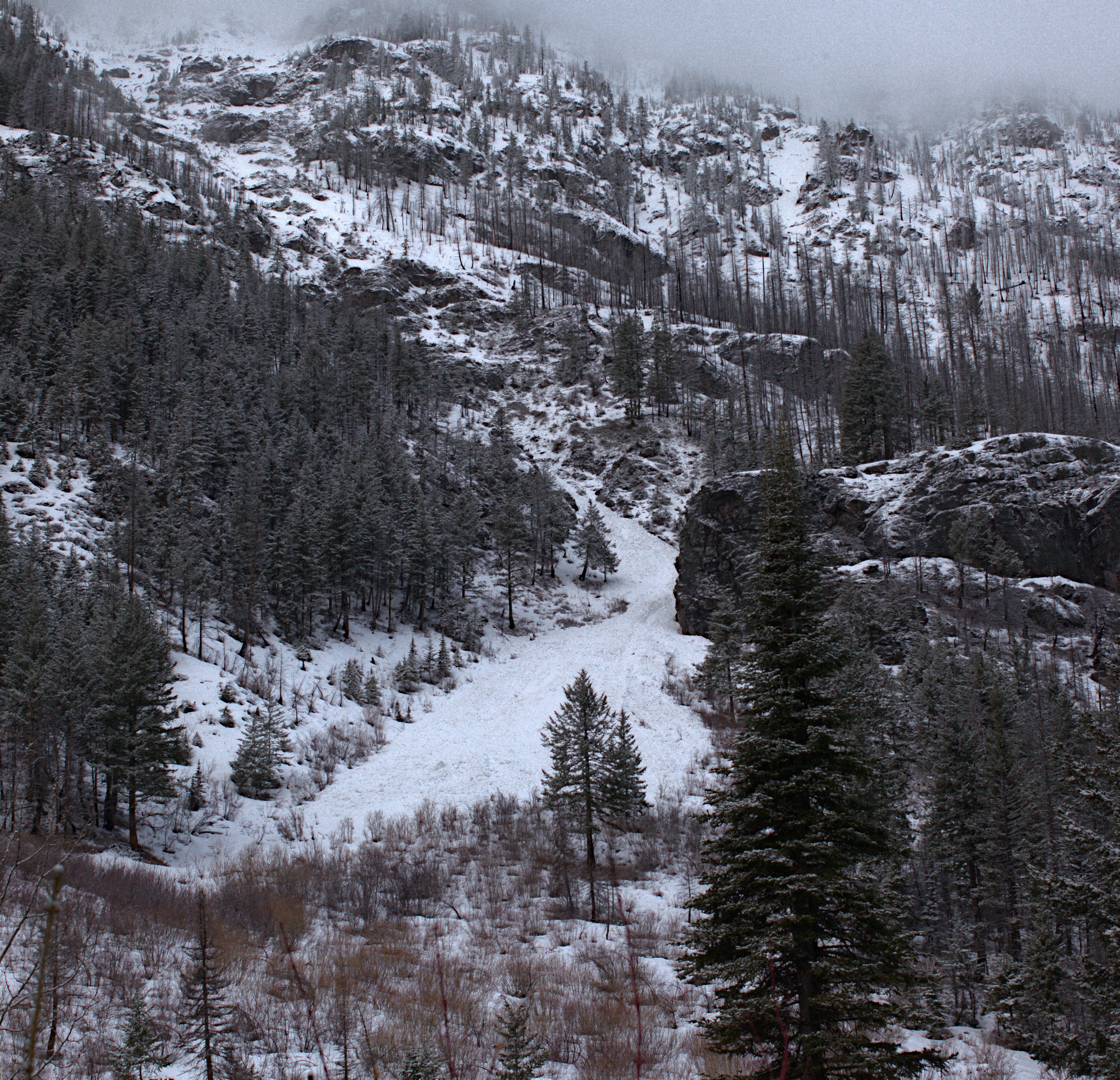
We observed the wet debris of numerous avalanches in the eight mile drainage. These are fairly old and likely released during the 3/14 - 3/20 warm up.