
Quick report
Today we observed less than striking snow pit results and attention grabbing recent avalanches which stepped down into persistent weak layers.
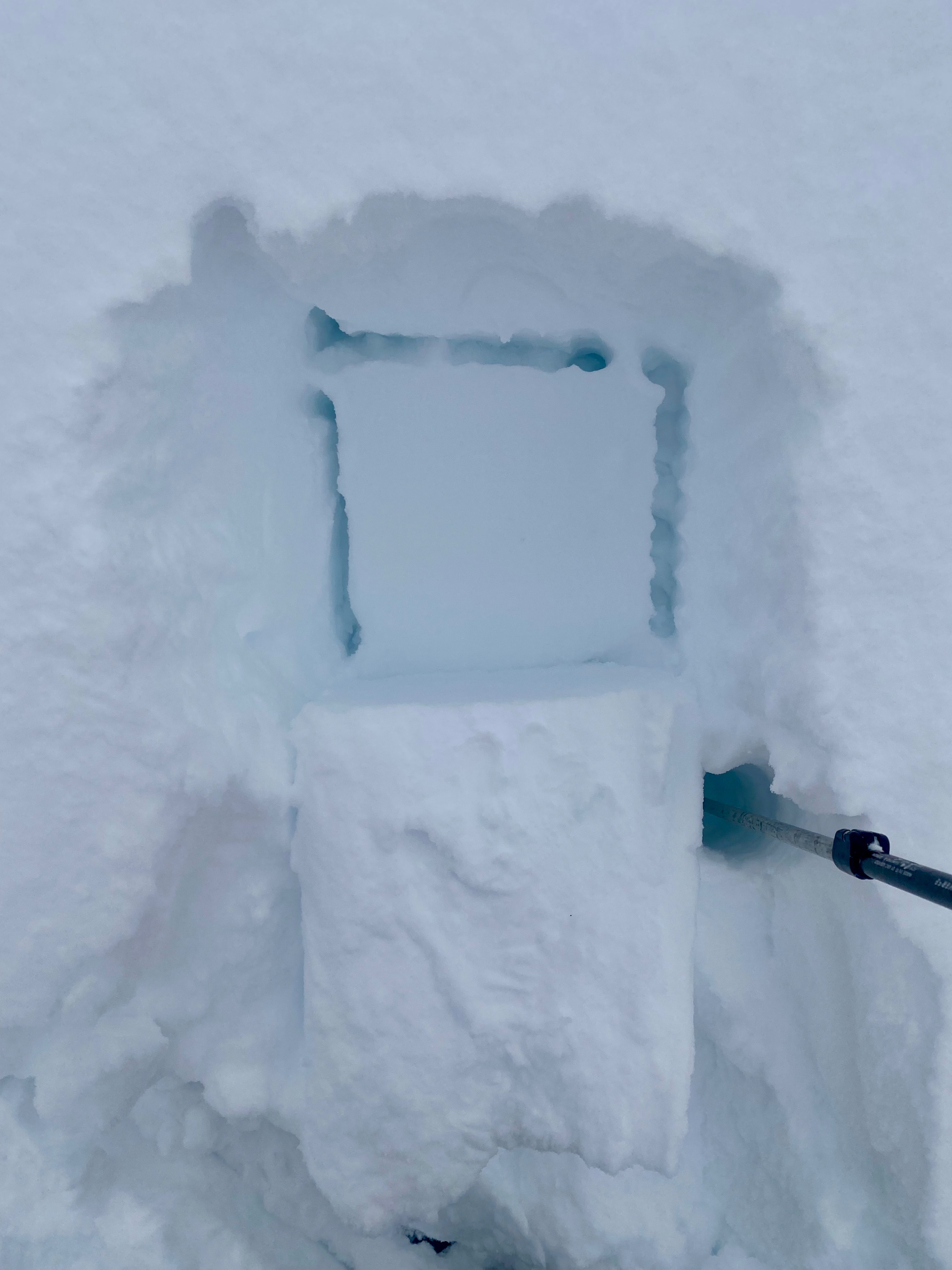
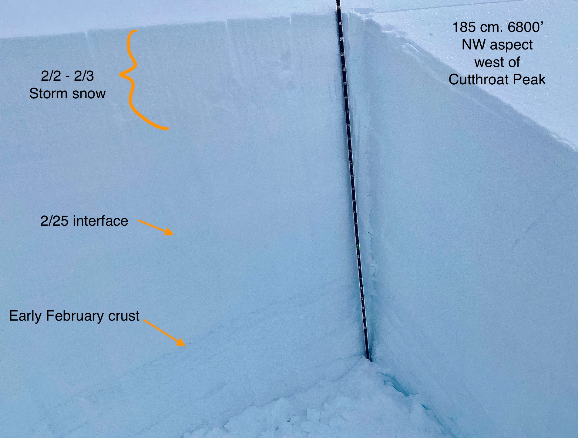
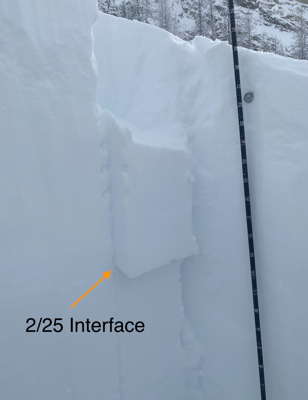
During the morning with light snowfall and overcast skies we travelled through terrain west of Cutthroat Peak. The new storm snow appeared unconsolidated and dry with several small dry loose slides. The 2/25 interface would release with moderate force in small hand pits. This interface, 60-70cm down also failed in hard taps during a compression test in a pit at 6800’ on a NW aspect. There is a subtle step down in hardness at the top of this interface and I found some rather broken down surface hoar here. The 1 meter deep early February crust did not respond to a deep tap test. No results in an ECT.
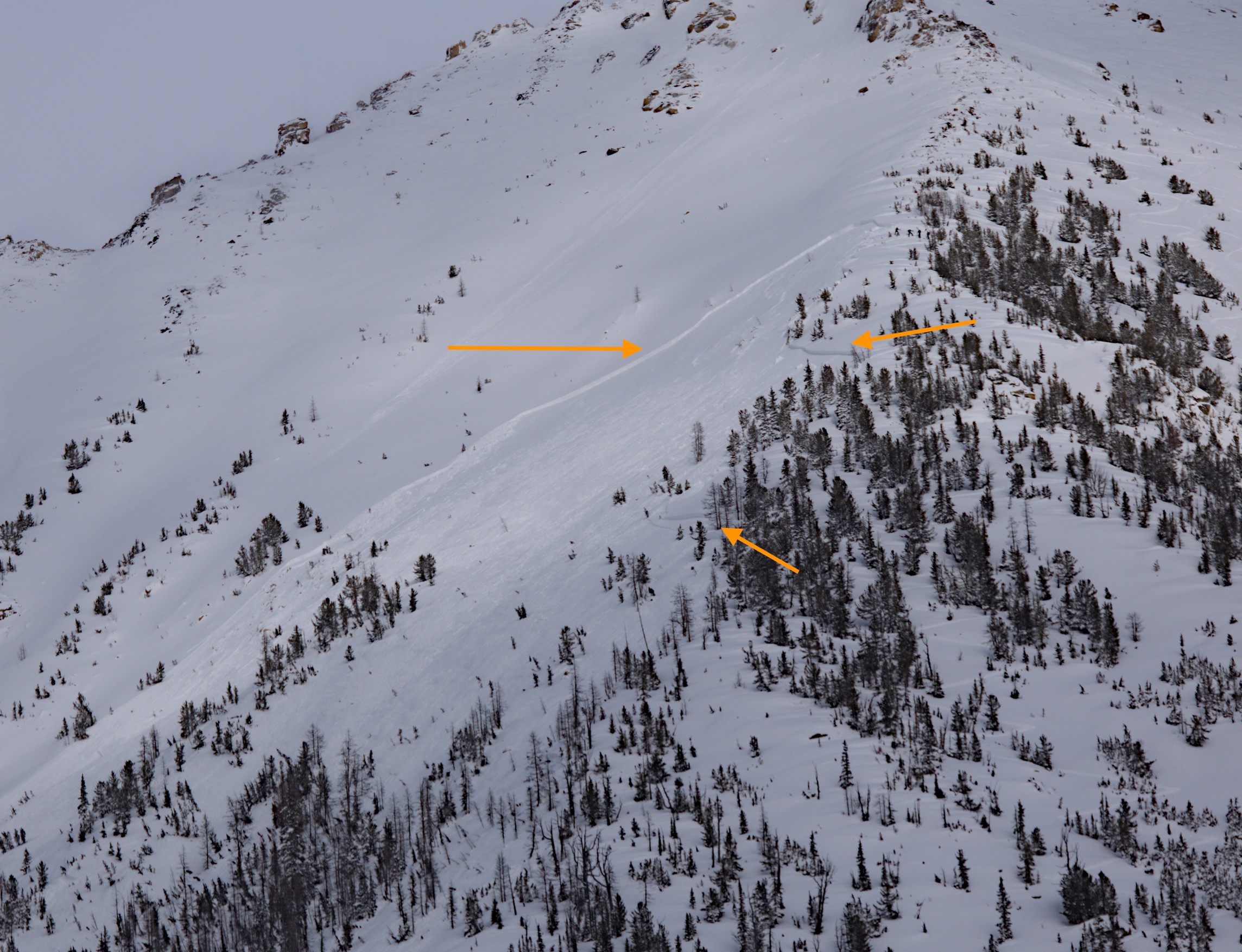
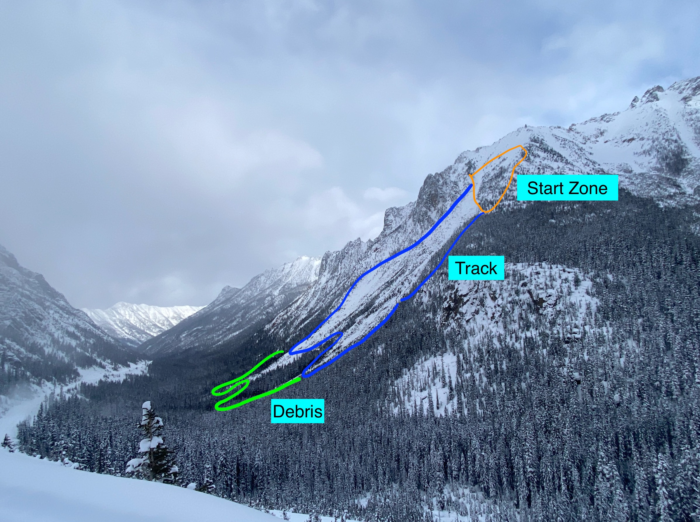
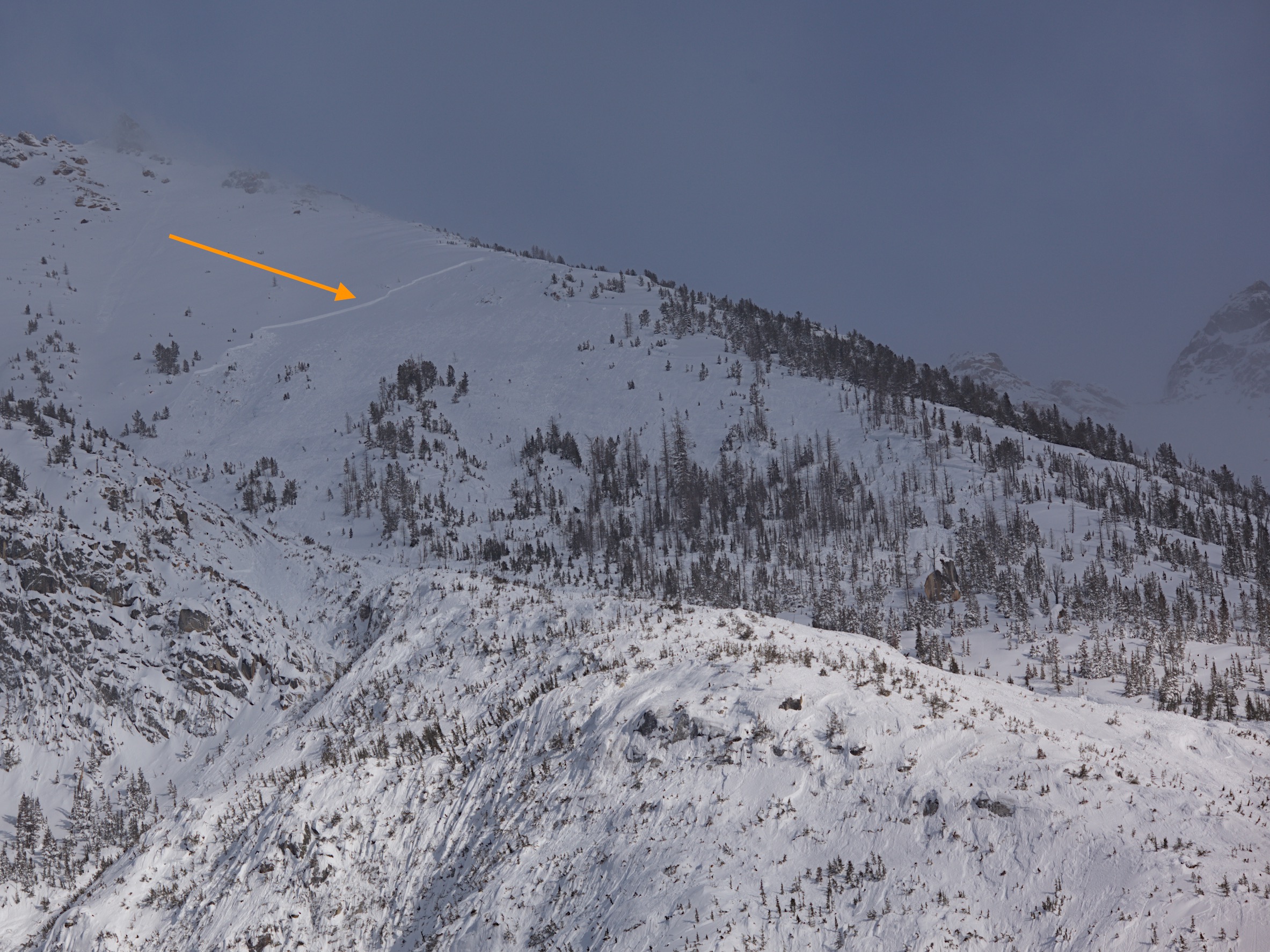
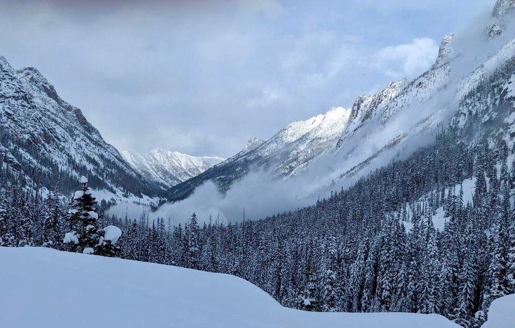
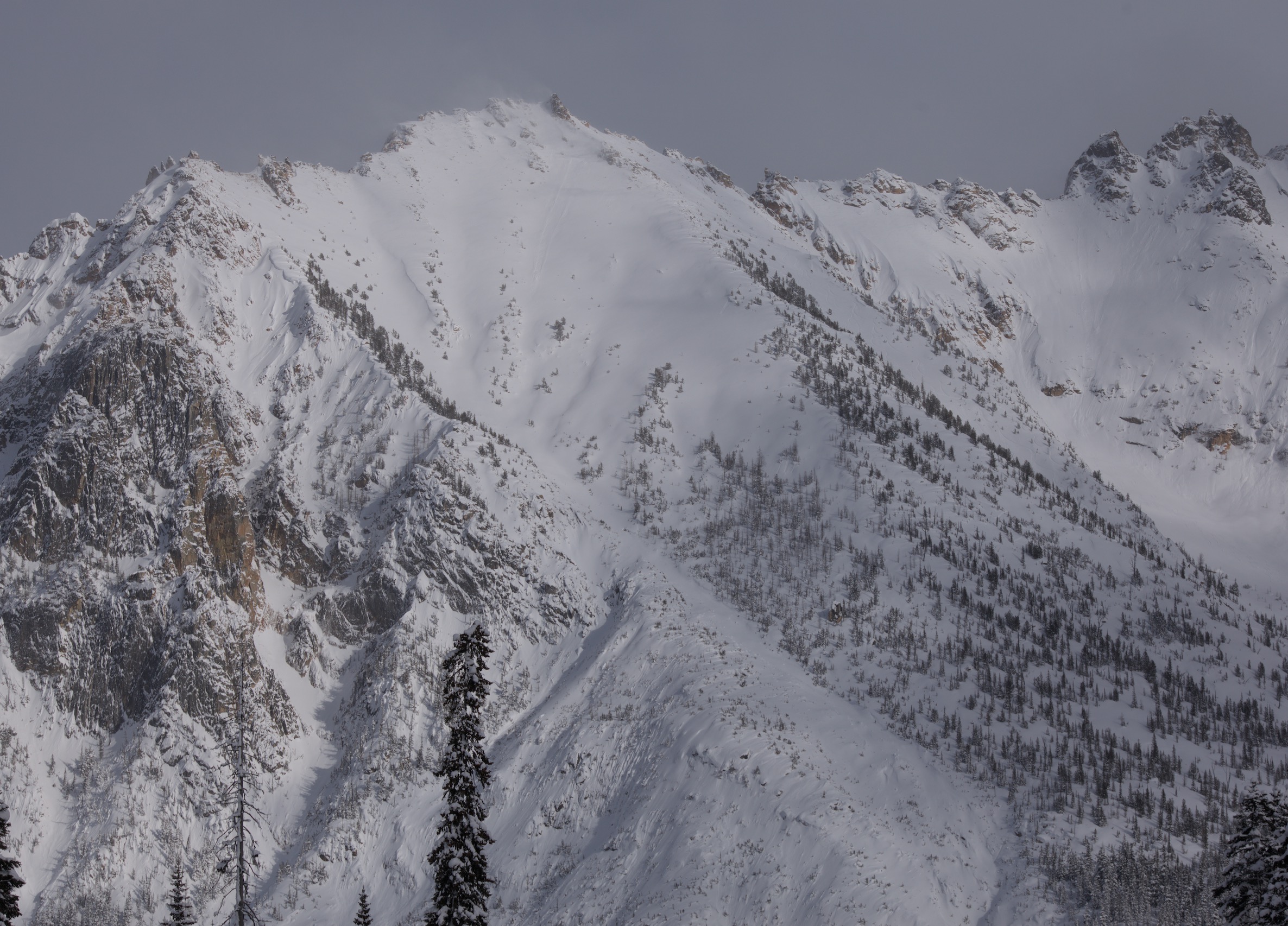
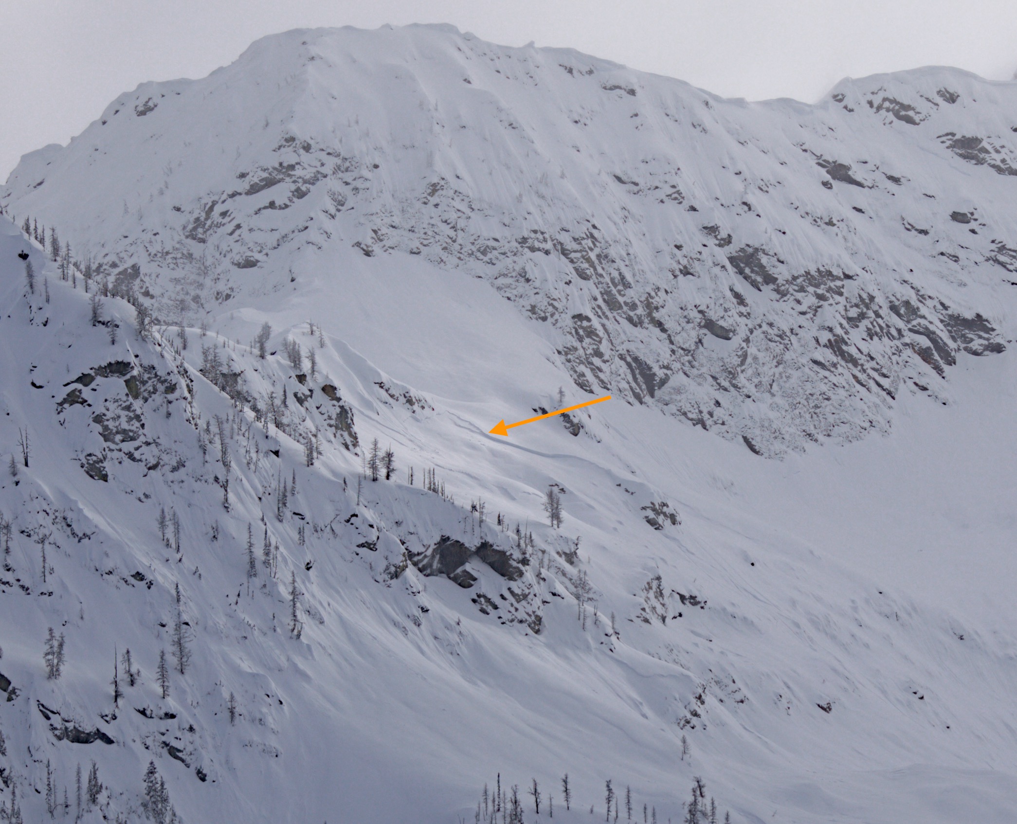
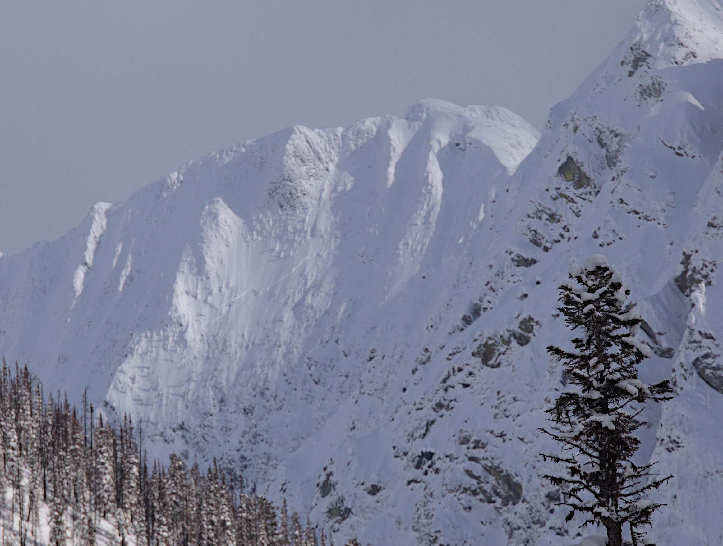
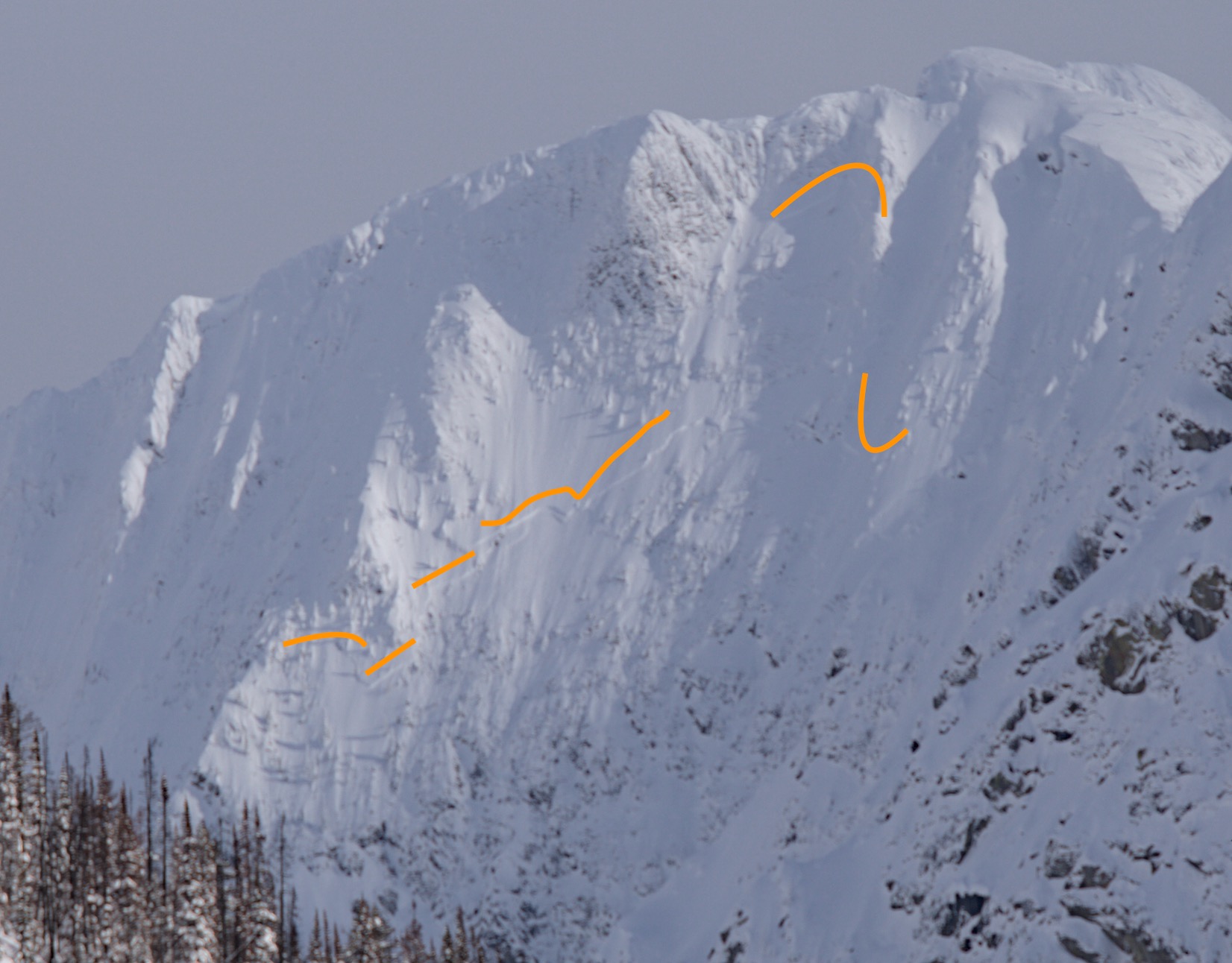
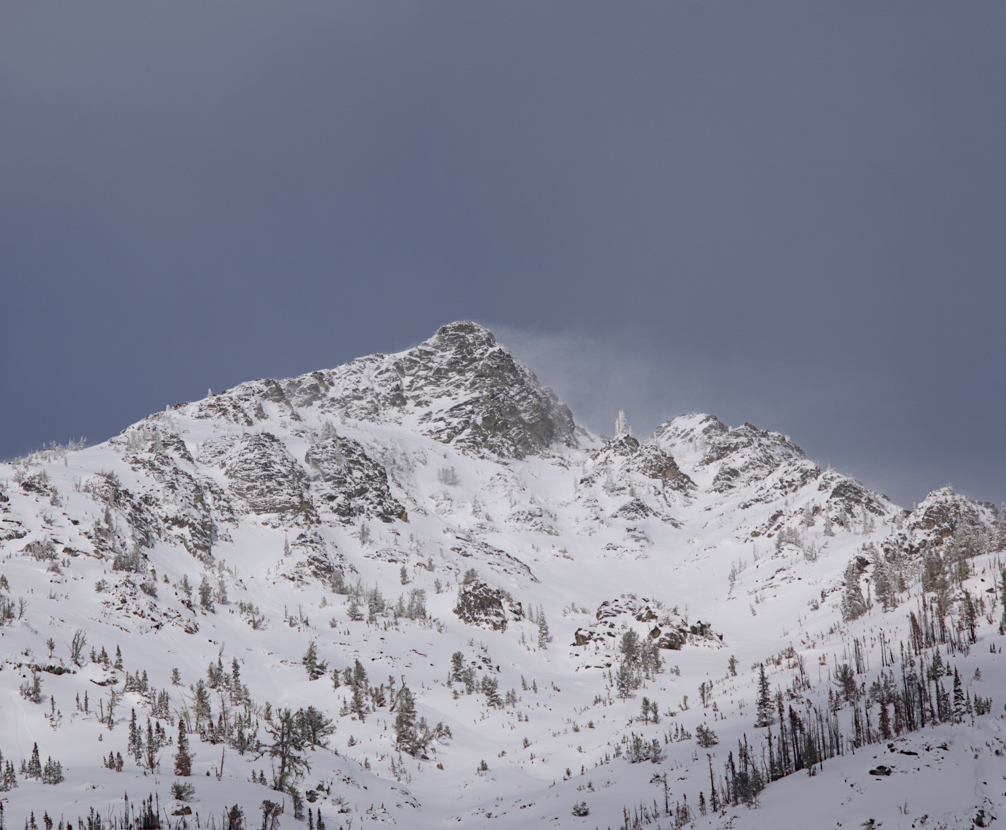
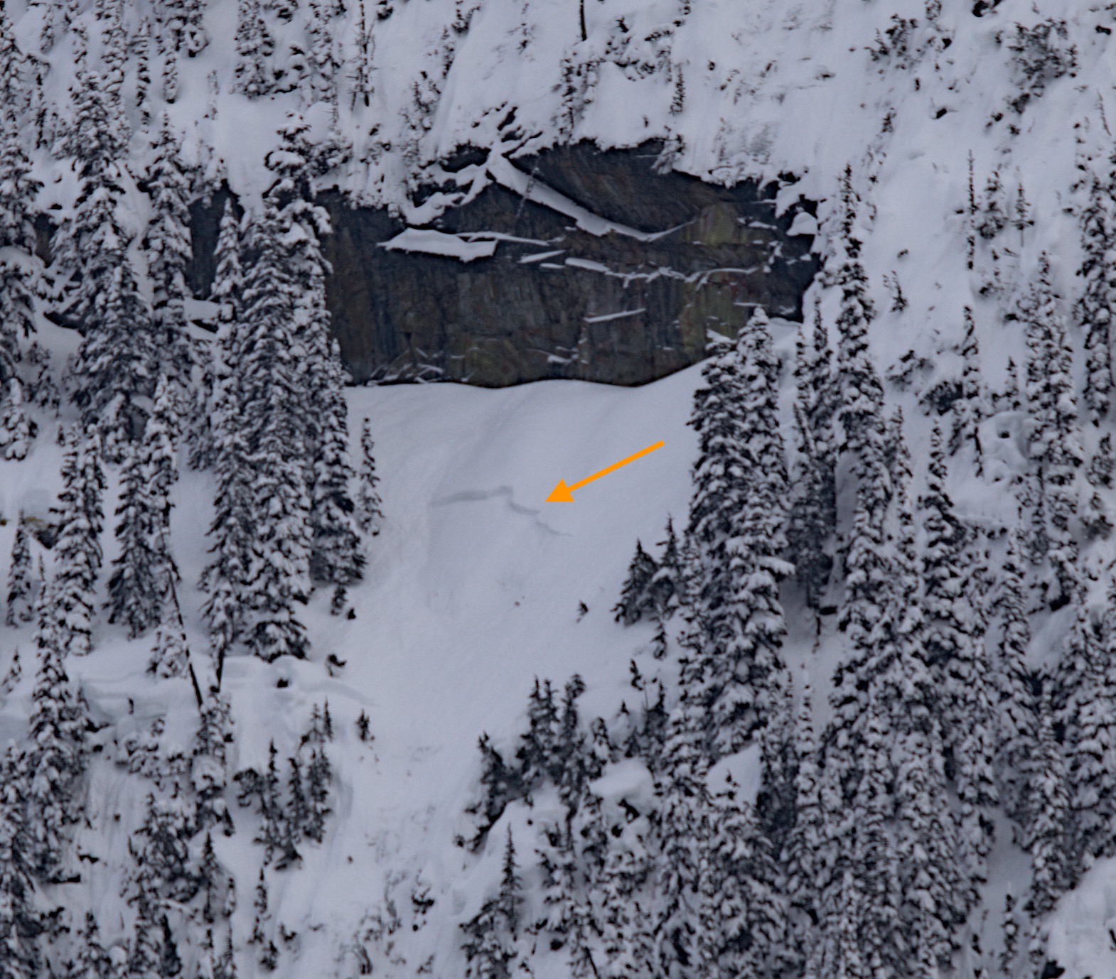
In the afternoon a light to moderate west wind was seen blowing snow on ridge lines. The clouds broke and we were able to see surrounding peaks during our ride back east from Rainy Pass. I am grateful for the good visibility as we were able to see several recent avalanches. We saw several D1 storm slab avalanches in steep terrain. Of note, we saw an estimated D2.5 with large step down on a north aspect of Stiletto and a D2 with step down on a west aspect near Rainy Lake. Near the hairpin turn we saw the powder cloud from an avalanche coming off Kangaroo Ridge. There didn’t appear to be ski tracks leading into this rather large avalanche. We saw a party traveling uphill on a lower angle ridge line immediately next to the crown. I am making the assumption that this was a remote or skier trigger and very glad to see the party out of harms way. I was not able to look at the bed surface of any of these recent slides. I would hazard a guess that these are stepping down to the 2/25 interface.
Very recent storm snow avalnches appear to be stepping down to deeper interfaces, probably the 2/25 interface.Weather
- Air Temp
- 23
- Cloud Cover
- scattered
- Wind Loading
- moderate
- Recent Snowfall
- 30
- Snow Avail For Transport
- large amounts
Light snowfall and overcast during the morning. Light to moderate west winds picked up mid day and skies cleared for great visibility in the afternoon.
Snowpack
30cm of soft dry powder snow sits atop more recent storm snow. 60 to 70cm down the 2/25 interface shows itself in resistant planar compression tests and moderate shear hand pits. At 6800' on a NW aspect I found the remnants of buried surface hoar at the top of the 2/25 interface. These were rather broked and mixed with rounds and facets. This subtle layer has a step down in hardness. In the location I dug, the 1 meter deep early February crust didn't show signs of instabilty. I get the impression that there is a good deal of variability and complexity to these layers, so 1 pit is a very limited picture. The recent avalanches tell us a lot more than a snow pit.
Avalanche
- Size
- D2
- Count
- 3
- Aspect
- W
- Trigger
- N
- Elevation
- 6700 ft