
Quick report
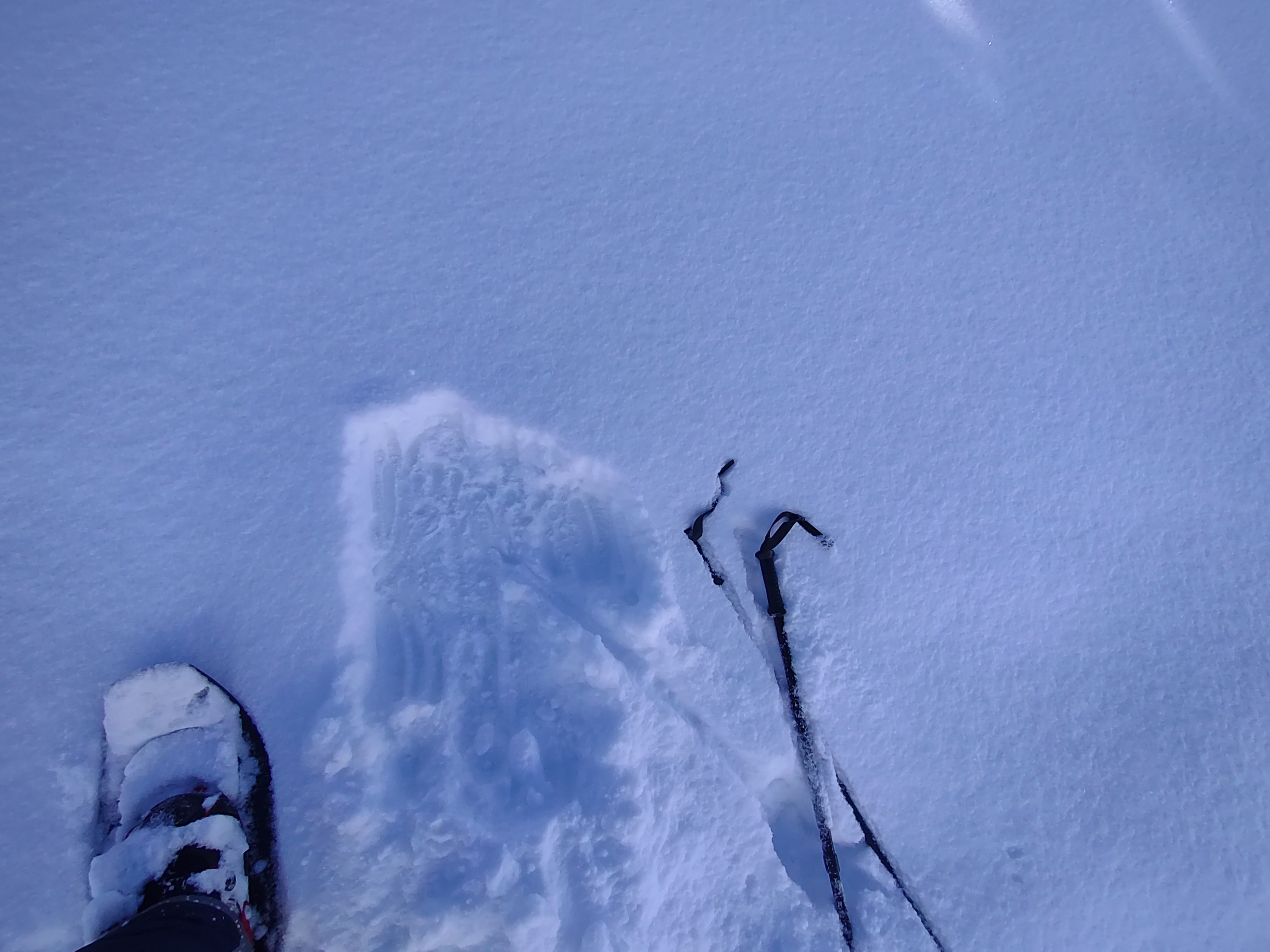
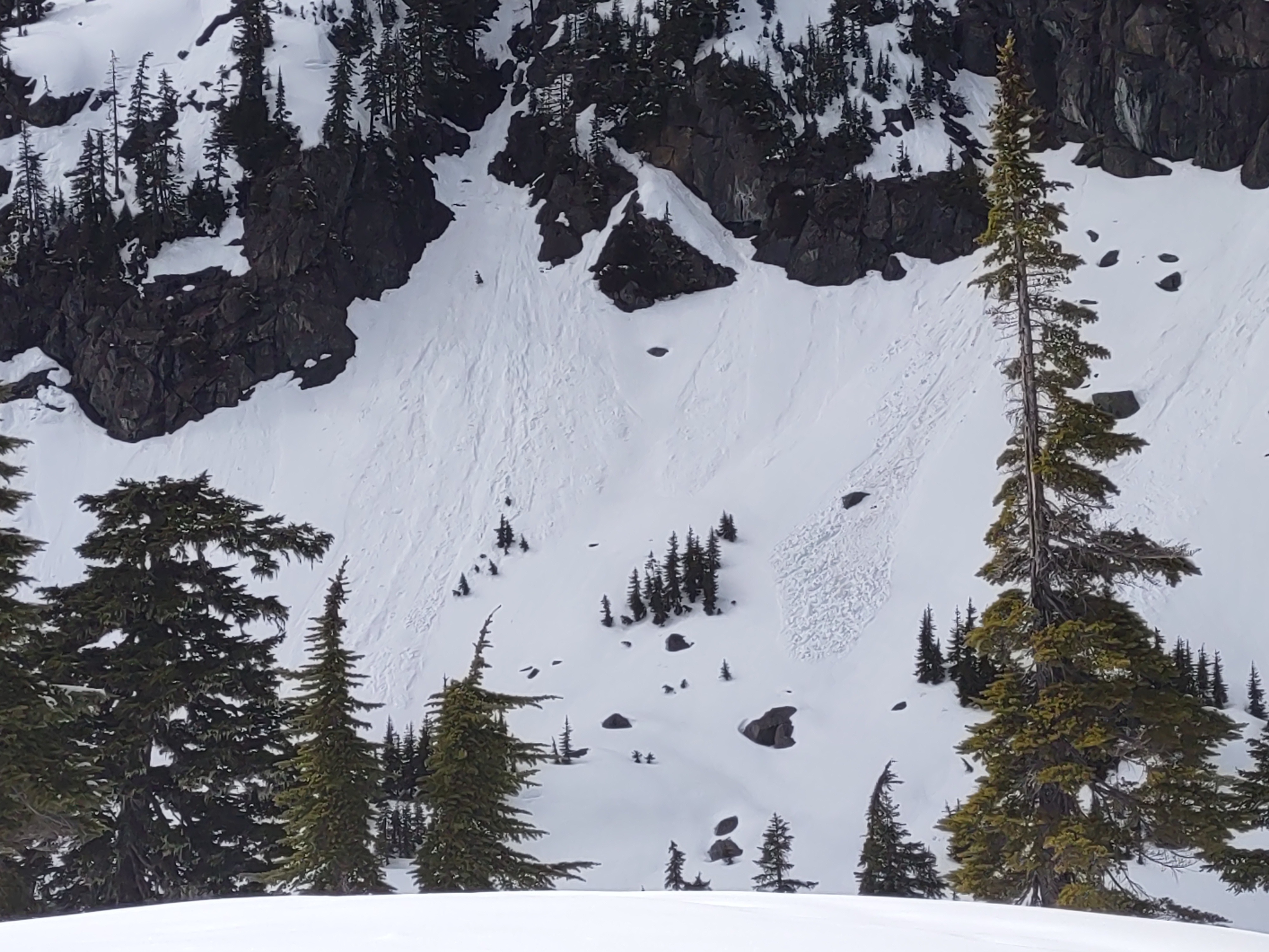
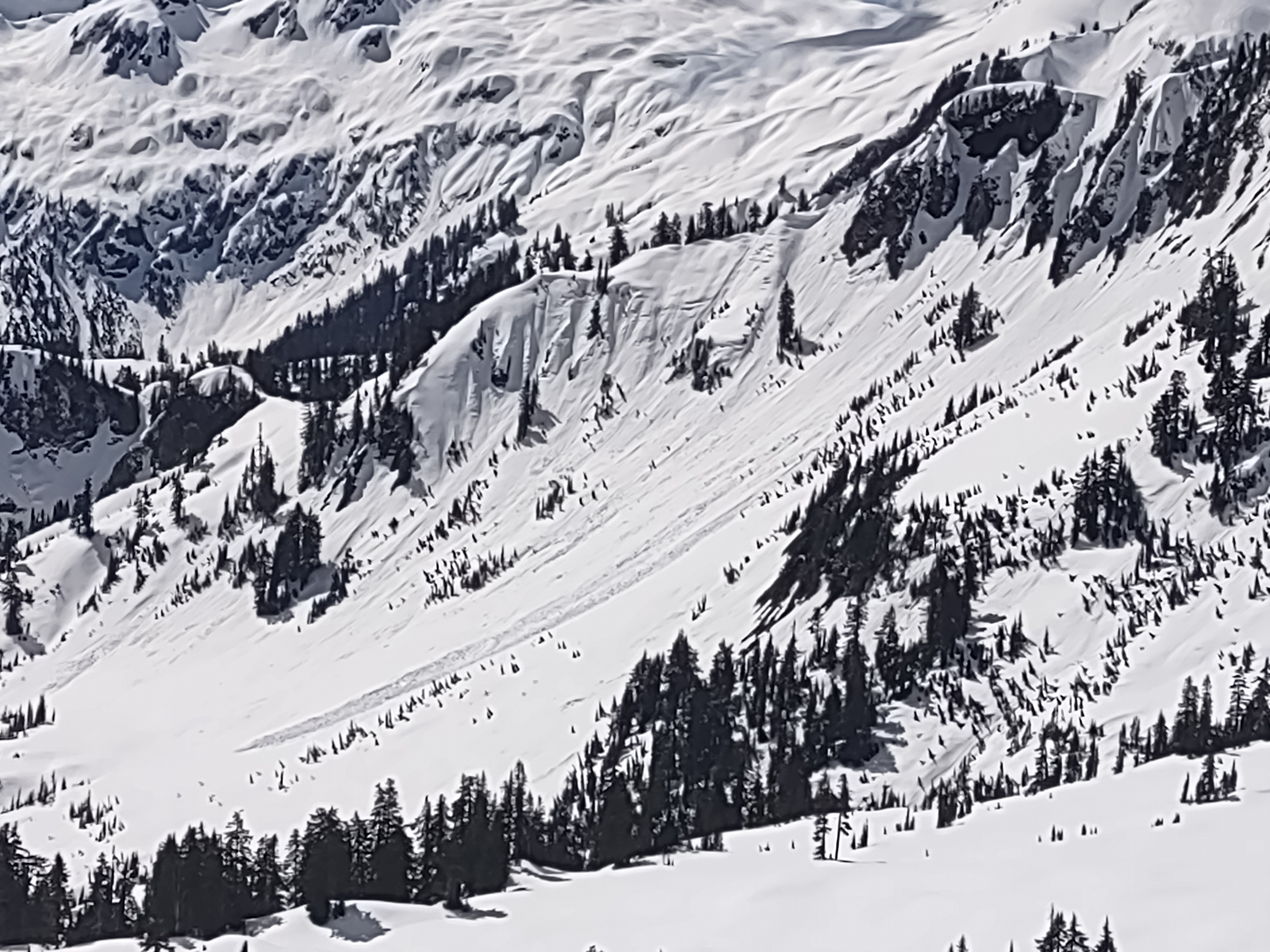
Overall, I generally found safe avalanche conditions where I traveled. On average there was 2-4 inches of new snow sitting on top of a supportive crust. Most new snow became wet or moist in the afternoon, however only small amounts if any new wet avalanches were observed.
Weather
- Air Temp
- 30s
- Cloud Cover
- scattered
- Wind Loading
- previous
- Recent Snowfall
- 10
- Snow Avail For Transport
- small smounts
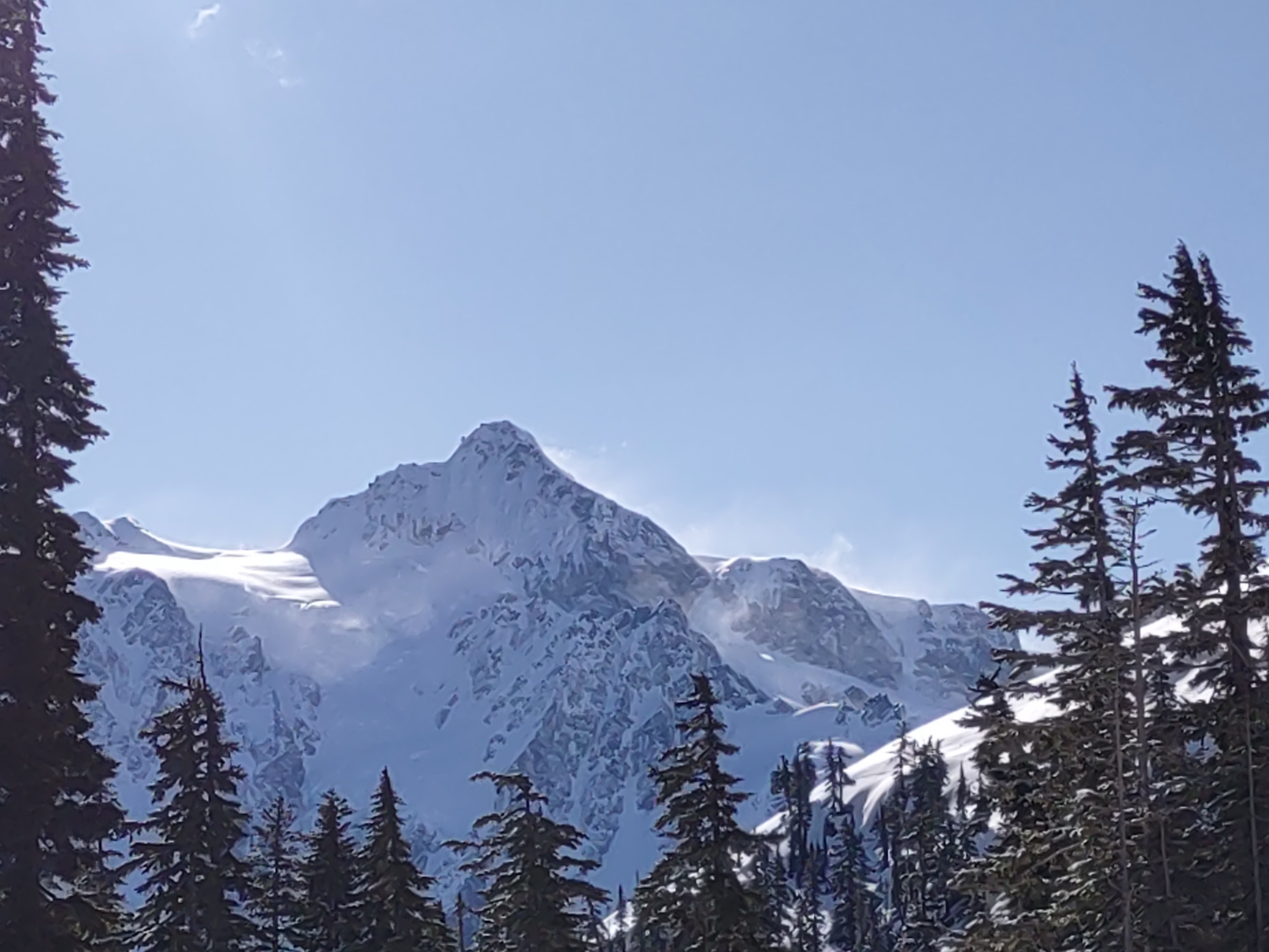
Sunny and cool in the morning, then cumulus clouds built into the afternoon and temperatures warmed. Light winds coming out of the east in Heather Meadows in the morning with visible transport of snow on Shuskan. Once at ridgeline winds we're coming out of the north, southerly aspects were wind sheltered therefore warmer.
Snowpack
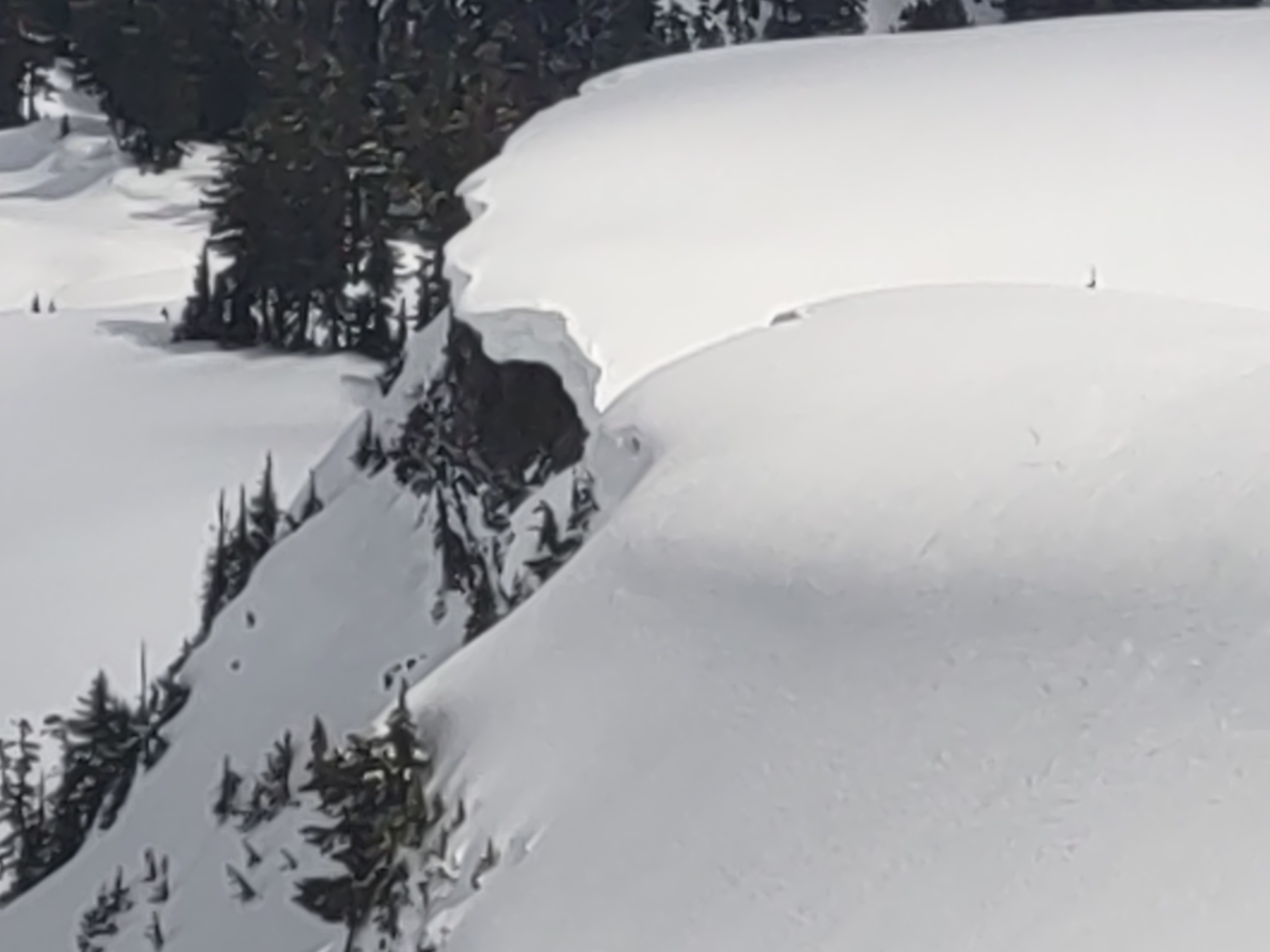
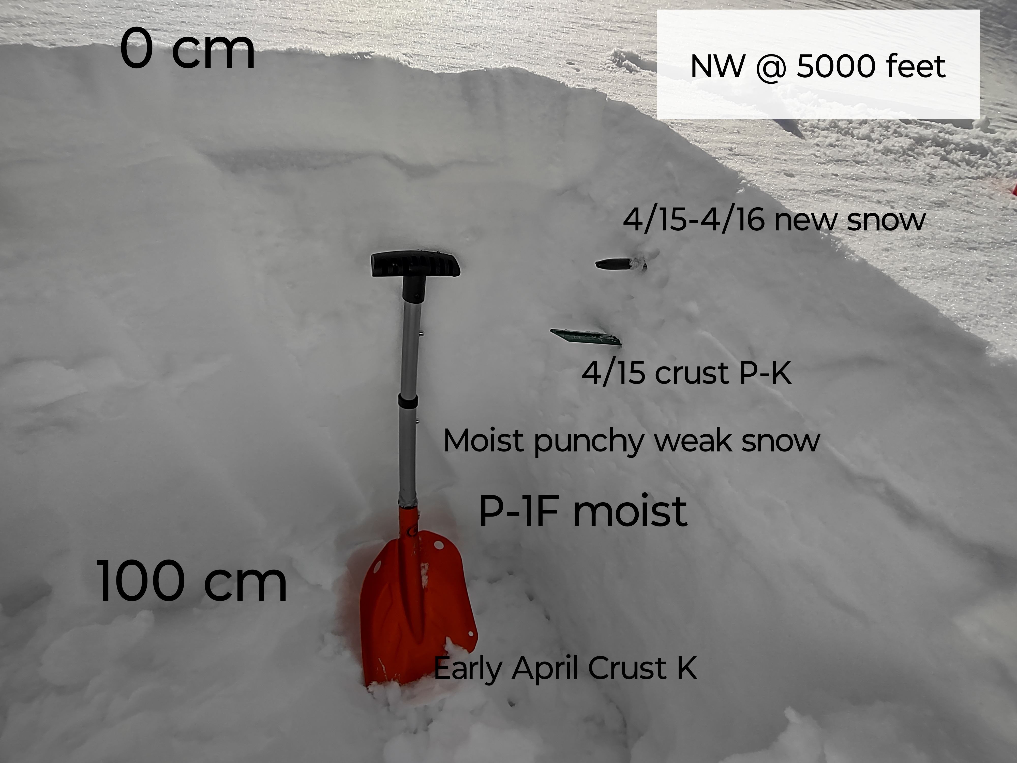
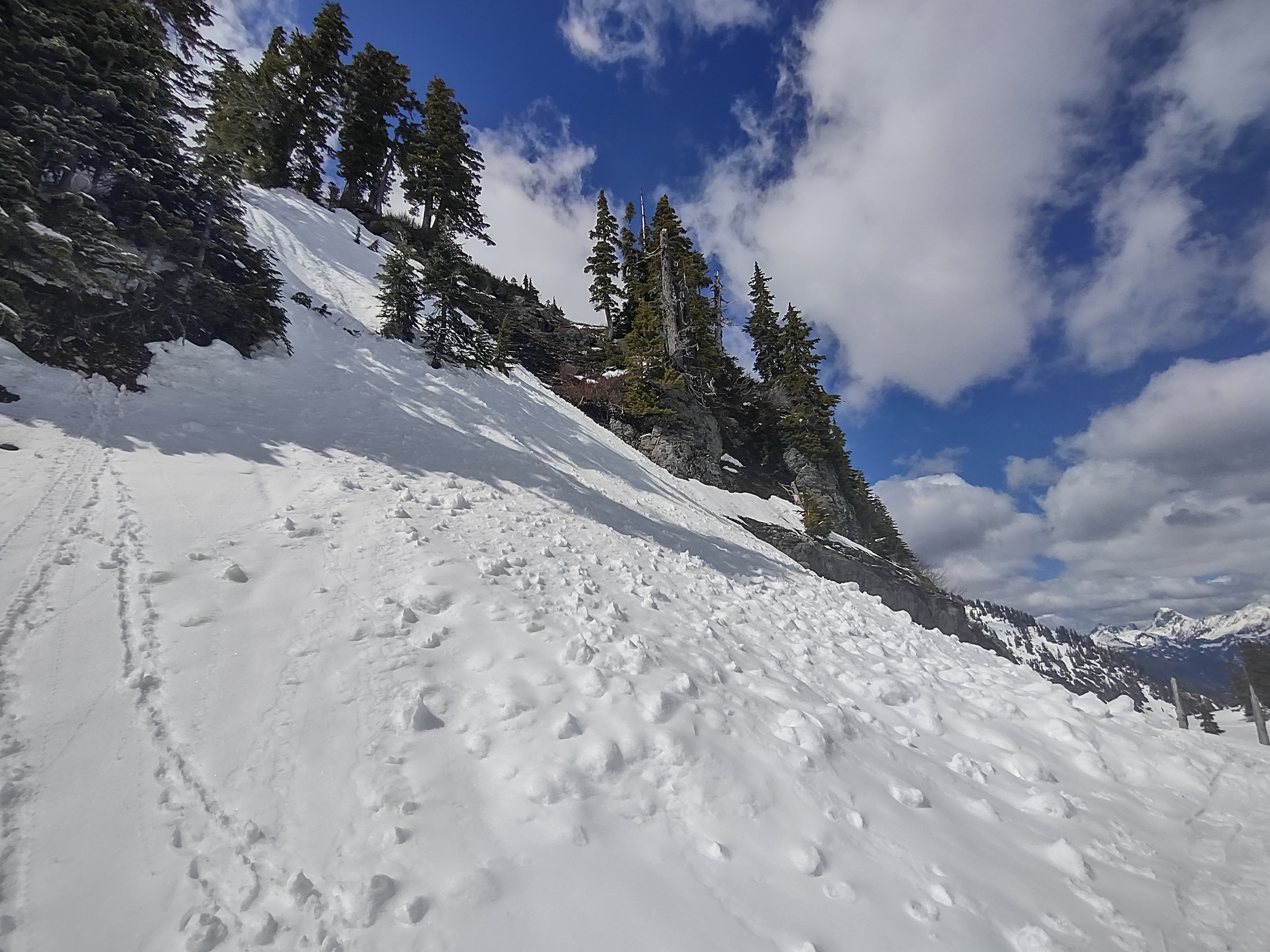
Snowlines are roughly between 3100-3700 ft where a shallow broken snowpack begins on the highway. A much deeper and consistent snowpack begins above 4000 feet. Snow heights are measuring greater than 300 cm at 5000 ft at Artist Point. I generally found 2-4 inches of new snow from 4/15-4/16 sitting over a pencil to knife hard 15-20 cm thick melt freeze crust. Bellow this you could still find moist, punchy wet snow with moist pencil hard snow down to the early April crust which was 100 cm deep. Most if not all snow surfaces became moist or wet in the afternoon. It's possible dry snow still lingered in true northerly shaded terrain. Most aspects began with dry snow. Overall found a variety of surfaces some were wind affected with drifted deposits of 6-10 inches in wind loaded areas, while other had been scoured close to an inch of snow over the 4/15 crust. Southerly and easterly aspects cooked in the morning and received the brunt of warming and wetness. It was easy to get roller balls going on moist aspects, however the snow was well bonded to the underlying crust and didn't slide easily as a true wet loose.