
Quick report
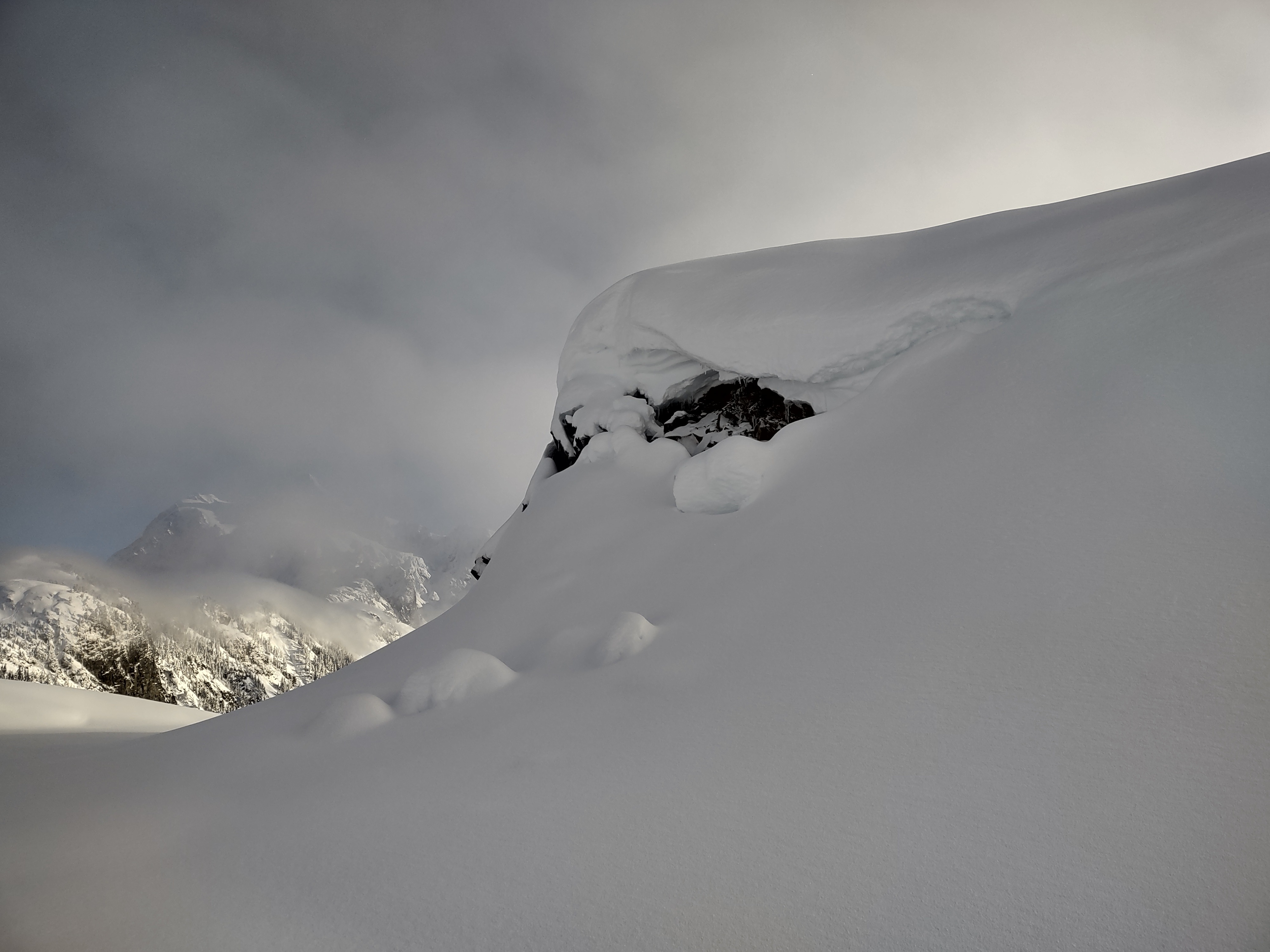
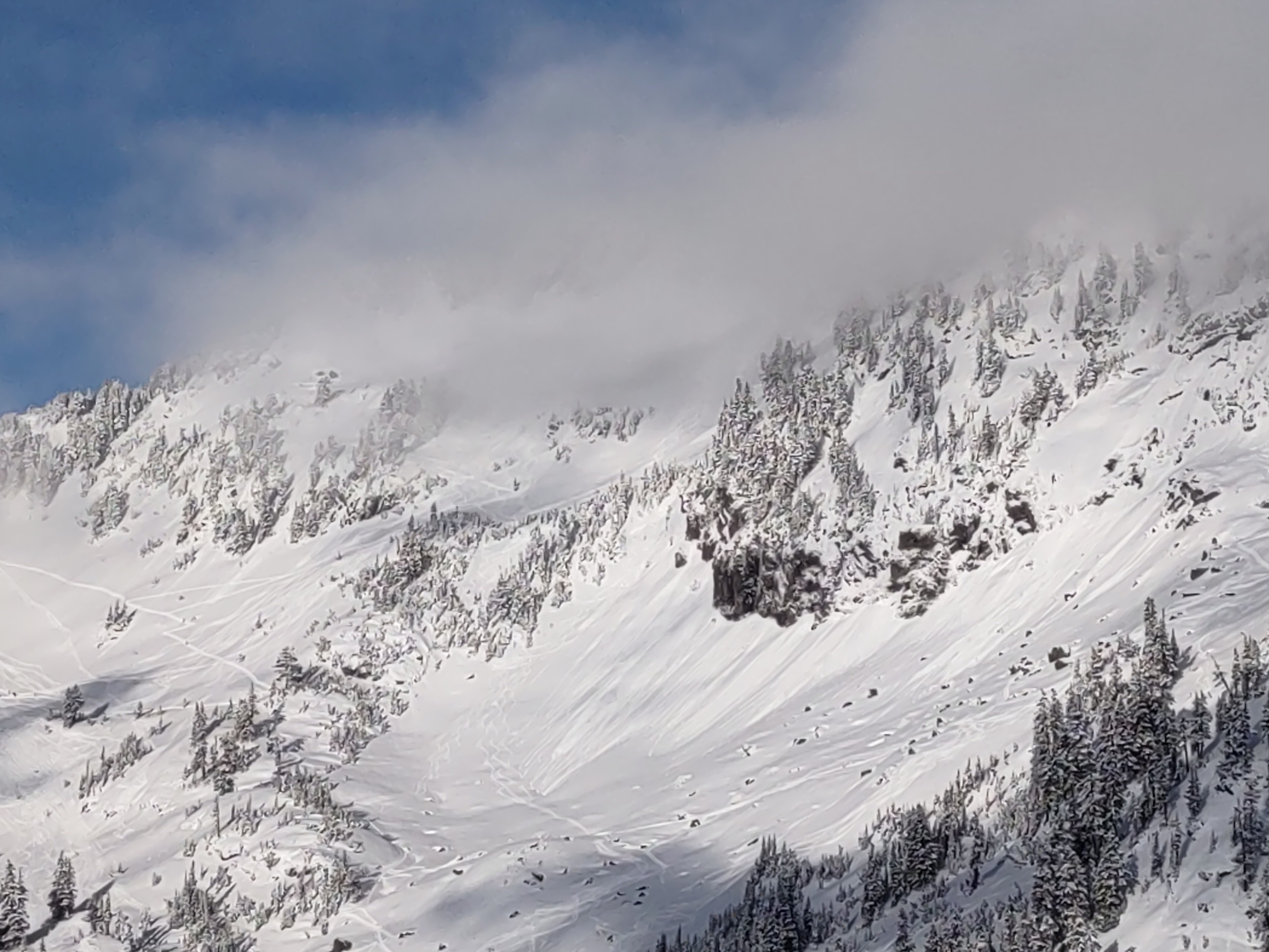
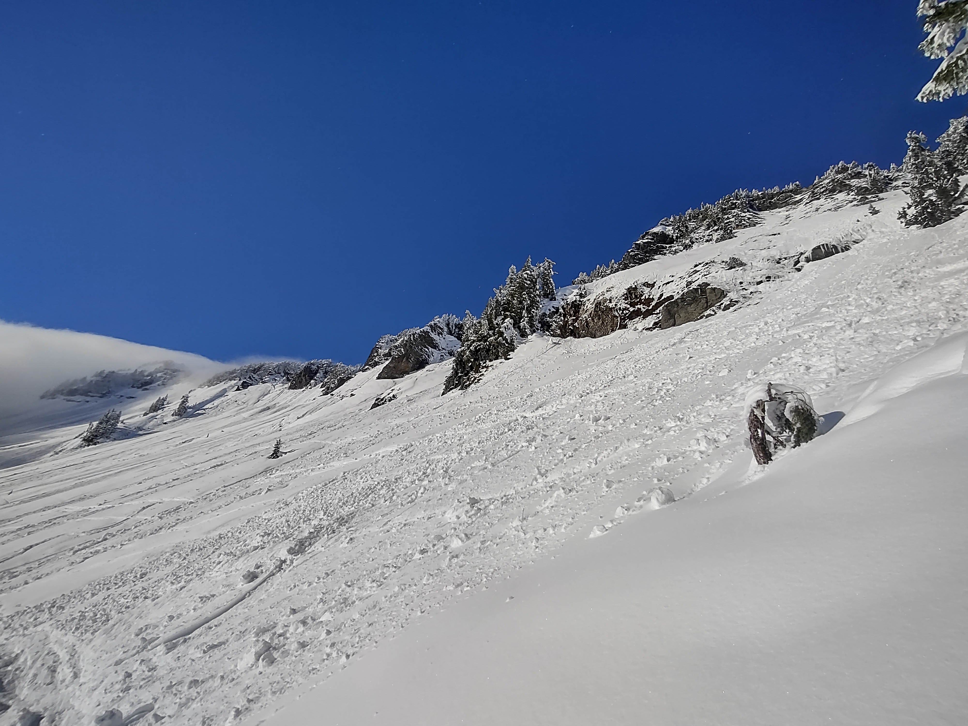
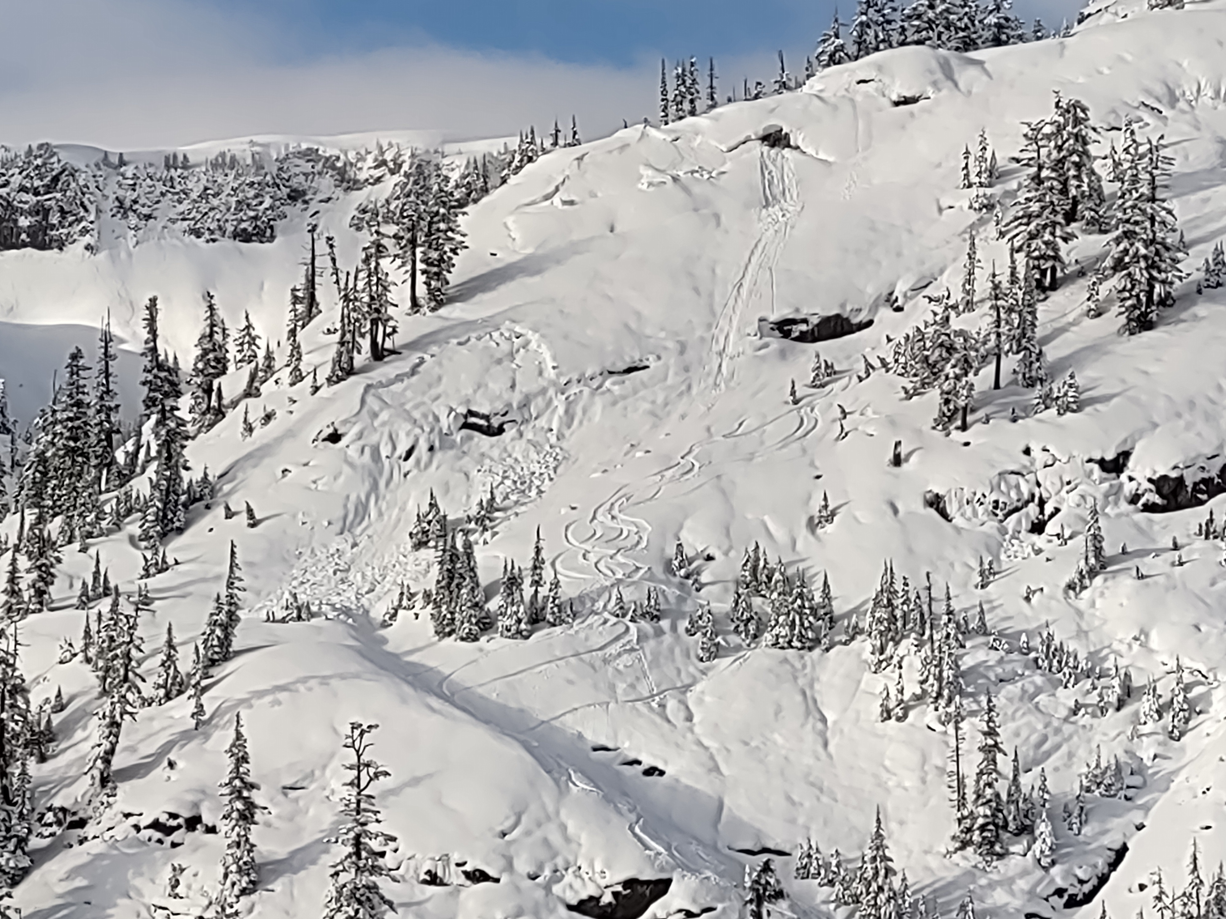
A lot of Backcountry travelers out today. We found new snow to be well bonded to a developing crust about 1-1.5 ft deep. Travel was pleasant with the new snow layer above a supportive rain crust. Old glide cracks are still visible, as well as old wet and glide avalanche debris. South facing slopes saw some warming with rollers and small wet avalanches. No signs of stability besides fresh roller balls on south facing slopes and old visible glide cracks.
Weather
- Air Temp
- 20s
- Cloud Cover
- scattered
- Rain Elevation
- 2000
- Recent Snowfall
- 35-40
- Snow Avail For Transport
- moderate amounts
It was mostly cloudy upon arrival, with multiple cloud layers and some clearing across the valley. Temperatures were cold and comfortable. Clouds cleared out quite a bit before lunchtime with some low clouds hanging around.
Snowpack
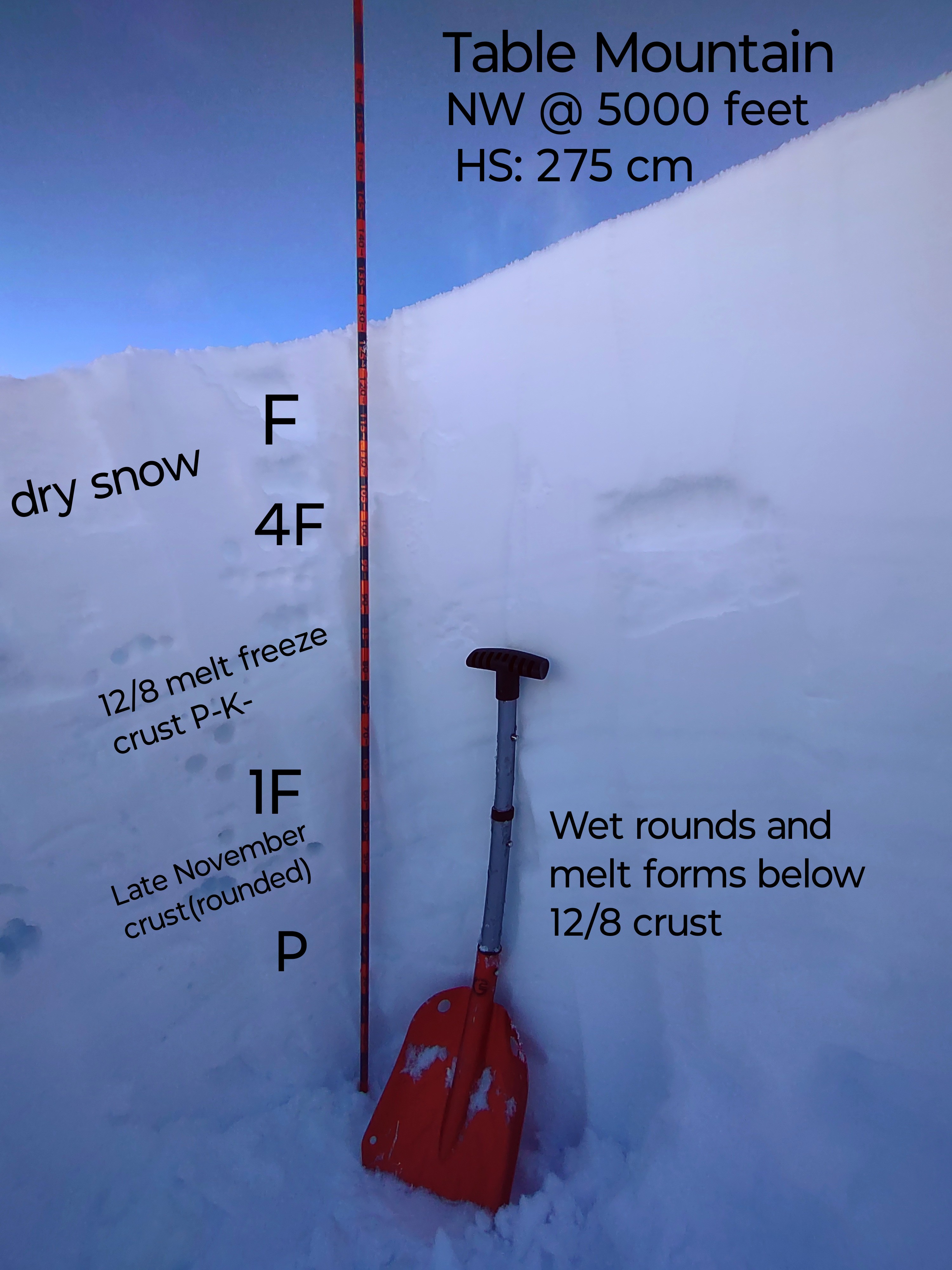
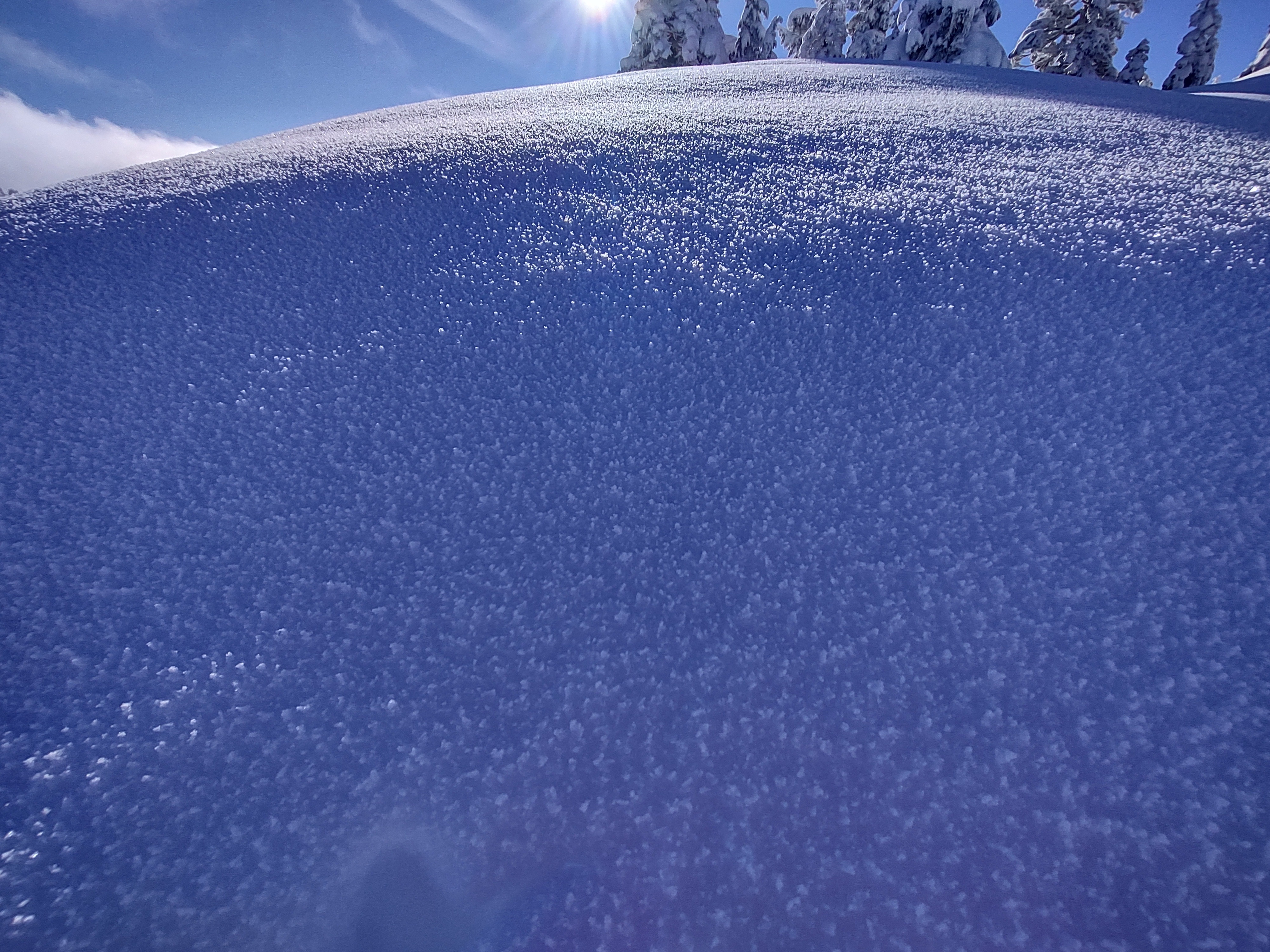
I found about 35-40 cm of right side up storm snow from Saturday into Sunday over the new 12/8 crust. The snow above was dry forms, however the entire snowpack below the crust is moist/wet rounds with some visible water polling in between 40-80 cm above the late November crust. Test results were negative above the most recent crust in CT and ECT, CTN18 and ECTN. I observed a stable and well bonded snowpack with no instabilities within the new storm snow. Snow surfaces warmed on direct southerly aspects. They will have a crust on them in the morning. All other aspects held dry snow and surface hoar is already developing and surviving in shaded areas and on northerlies.
Avalanche
- Size
- D2.5 R2
- Type
- WL
- Aspect
- S
- Trigger
- N
- Elevation
- 5500 ft
Small wet avalanches, roller balls were seen on southerly aspects. Evidence of large wet/glide avalanche cycle up to D2.5 in sise from 12/7-12/8 is still visible.