
Quick report
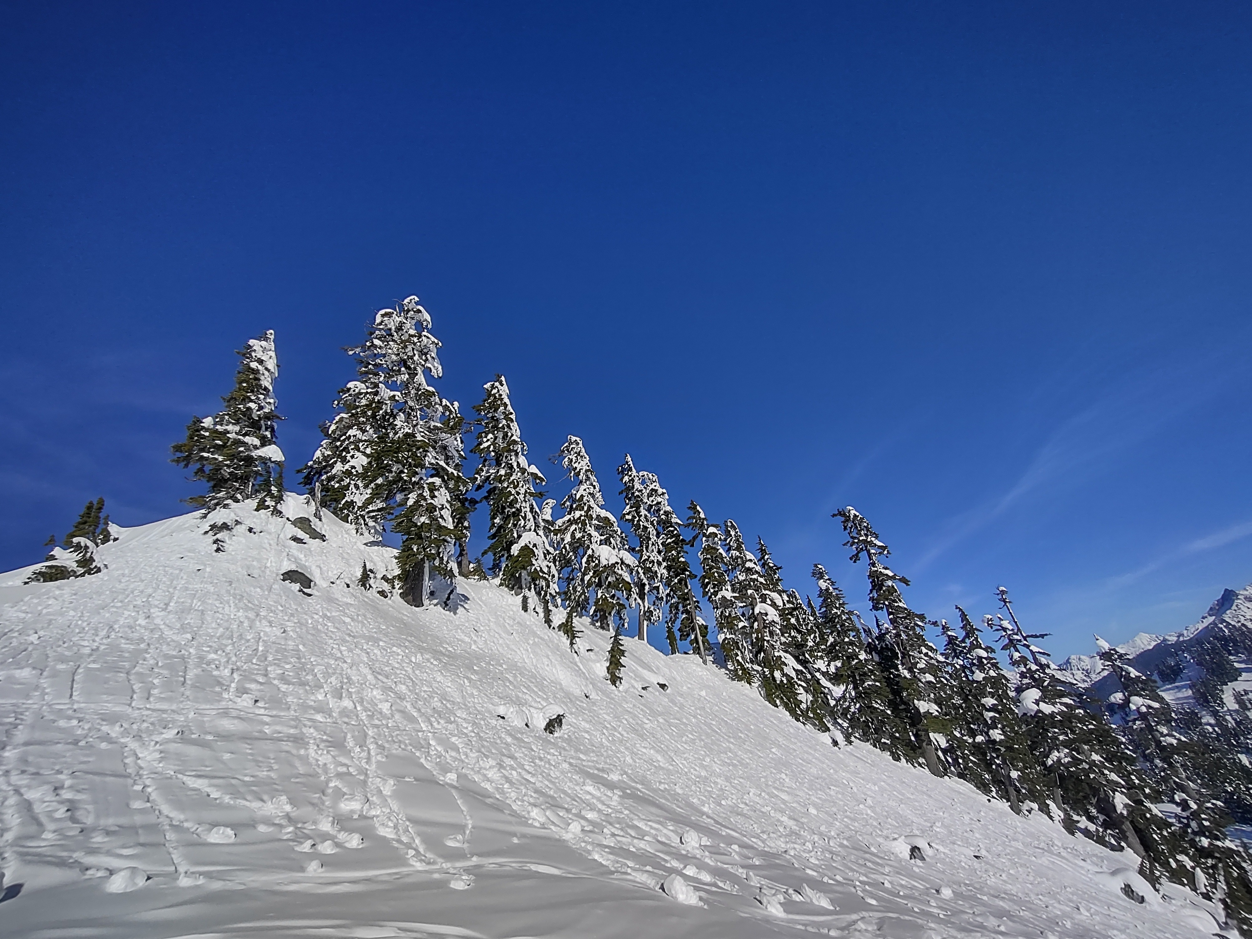
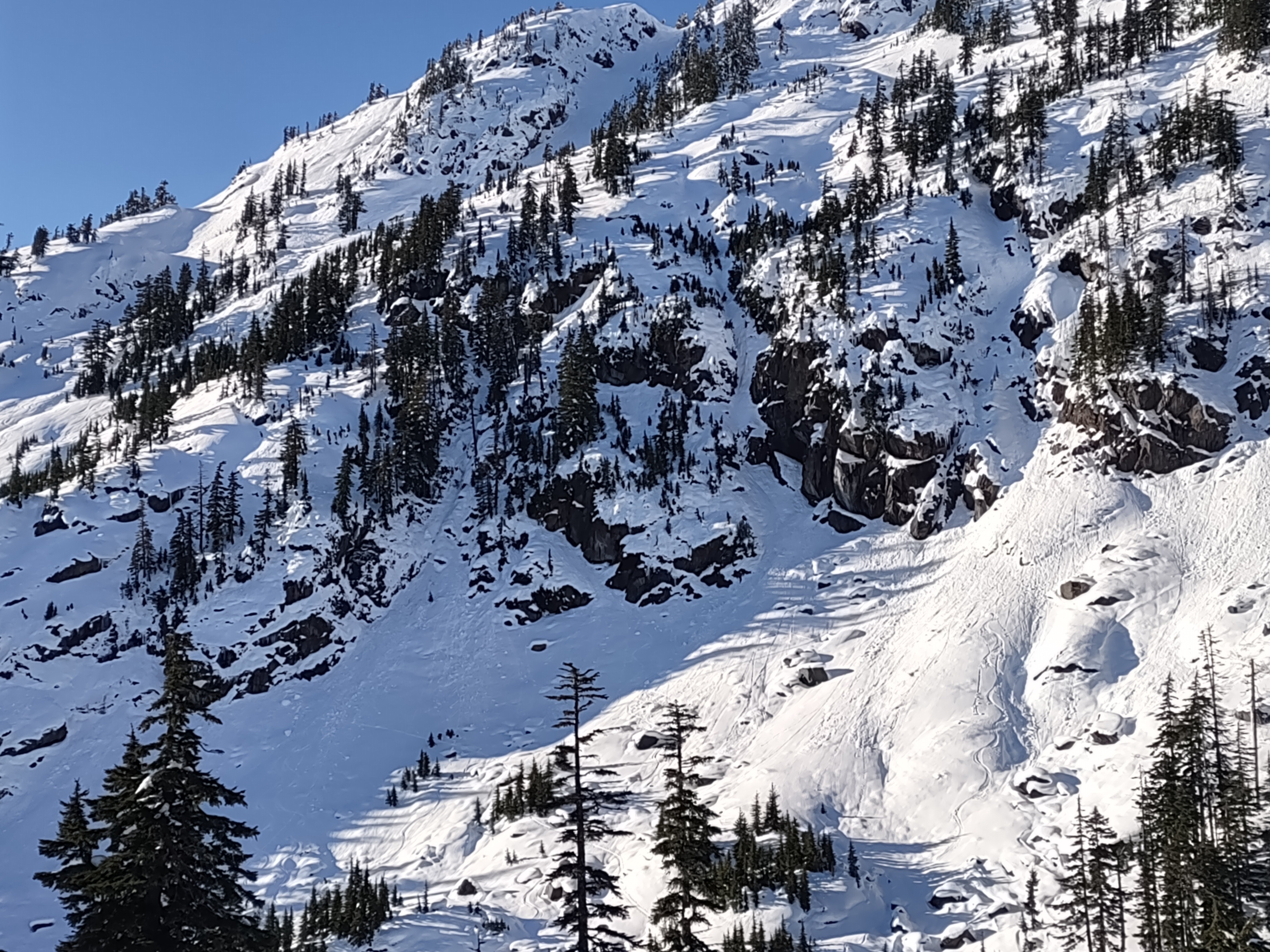
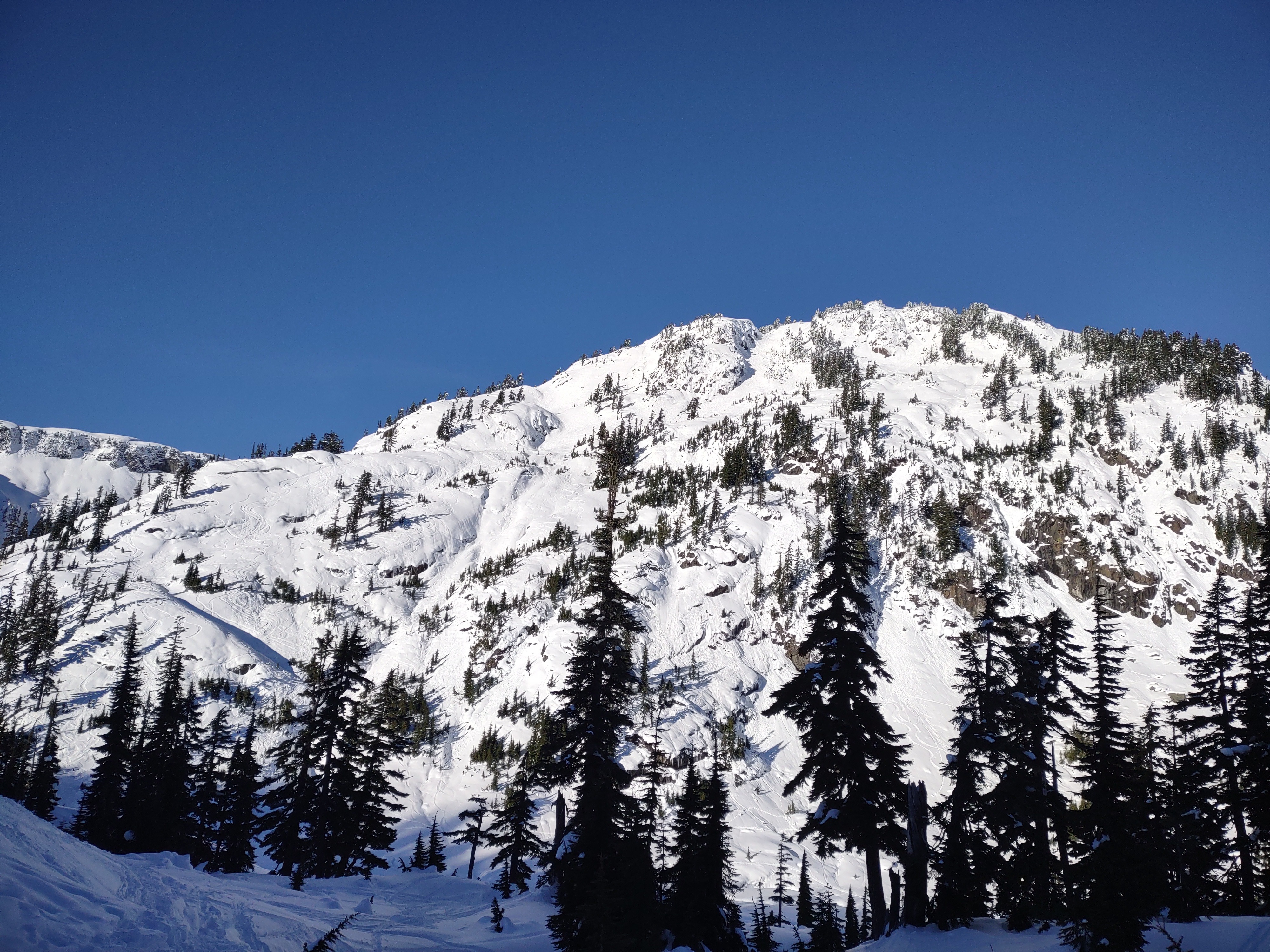
We enjoyed a beautiful day in the mountains. Most snow surfaces stayed cold with the wind, even though it was above freezing. Little in the way of new wet avalanche activity was seen, besides some roller balls. No signs of snowpack instability besides previous small roller balls in steeper rocky areas throughout the Bagley Basin and surrounding area.
Weather
- Air Temp
- 26 at 2000 feet and 40 ish at 5000 feet
- Cloud Cover
- few
- Wind Loading
- previous
- Snow Avail For Transport
- small smounts
Sunny and bluebird. Almost completely clear skies besides thin high clouds. Winds were light out of the south southwest at Ridgeline. A notable temperature inversion was noted on the drive up with around a 10-15 degree increase from 26-30 in the valley to 35-40 in Heather Meadows.
Snowpack
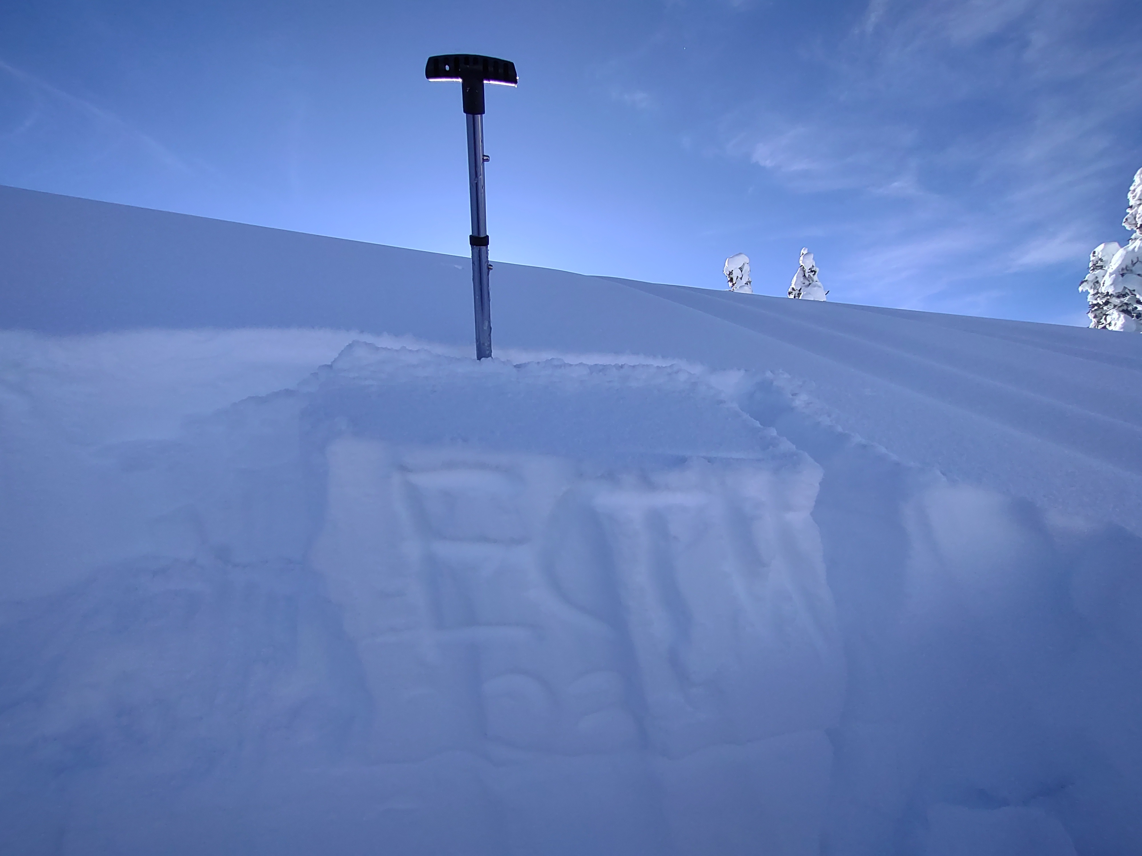
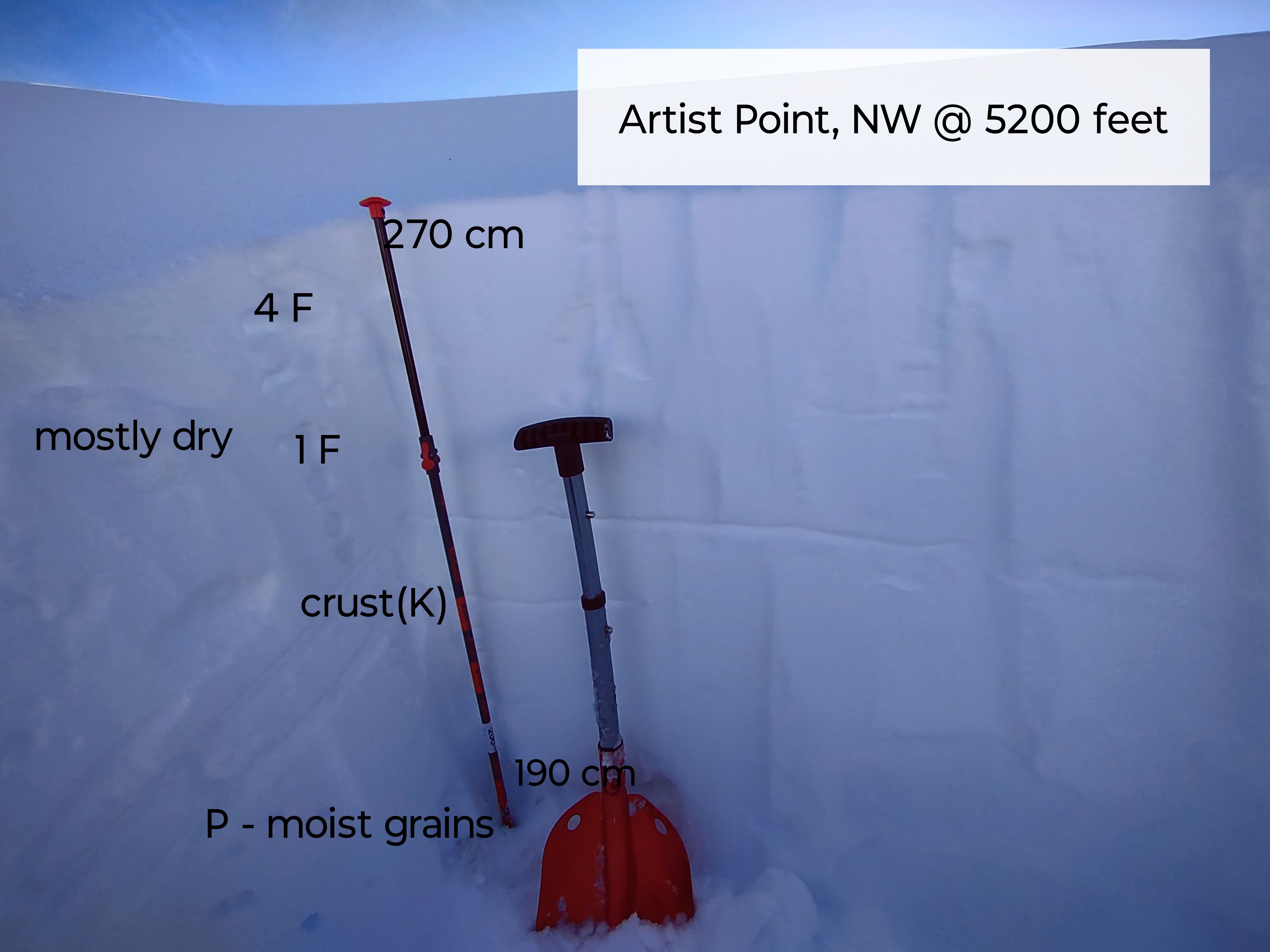
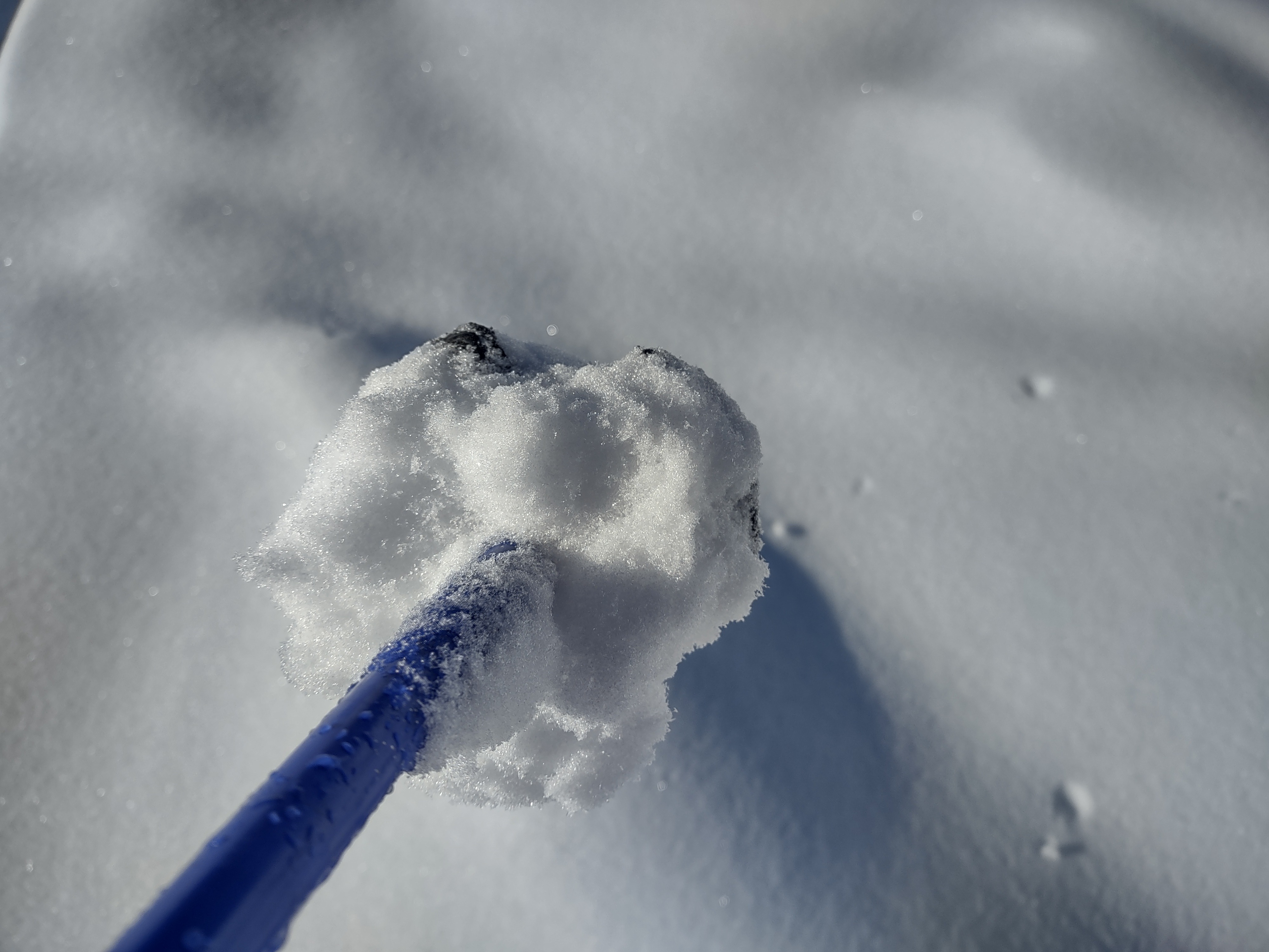
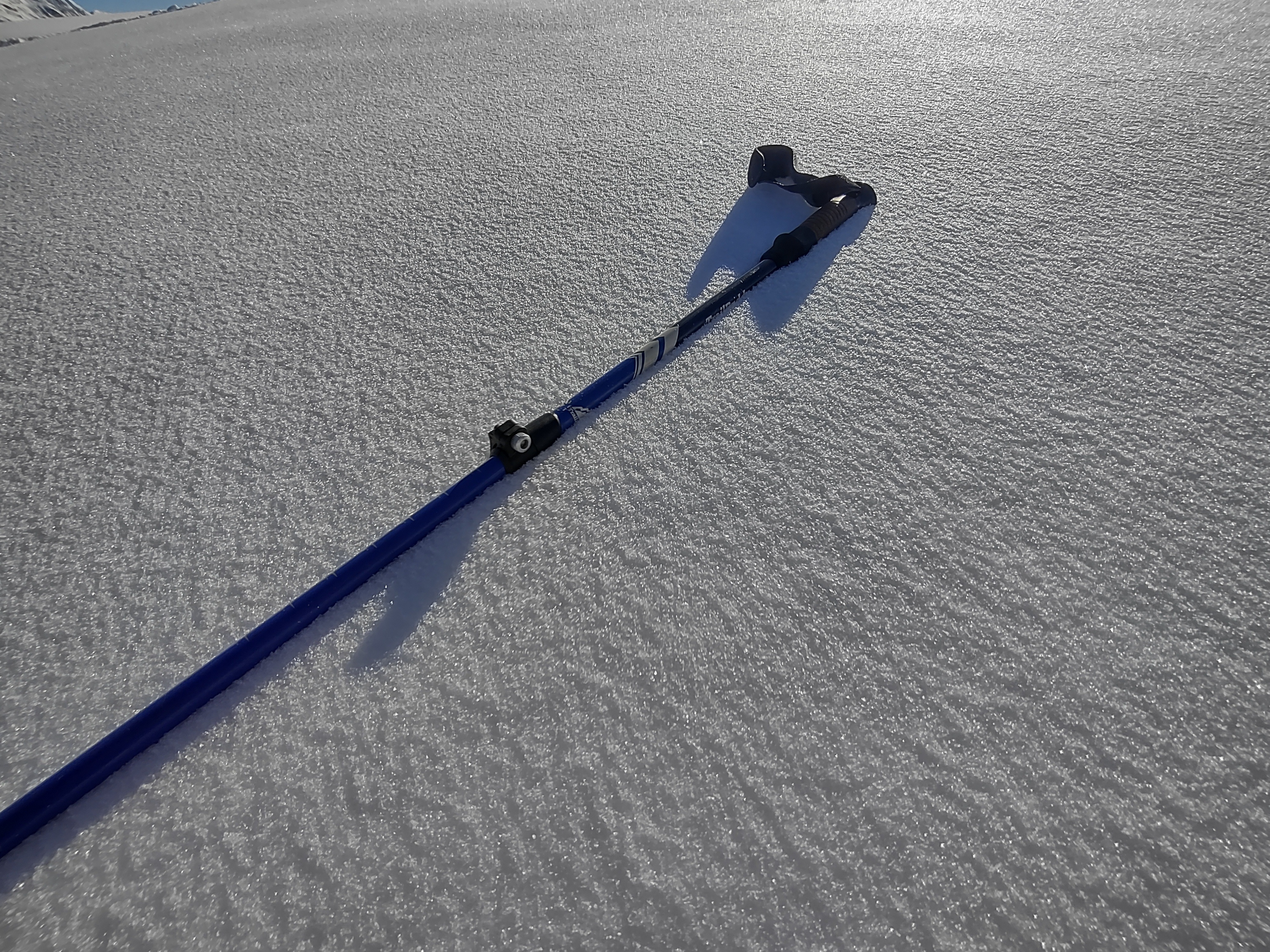
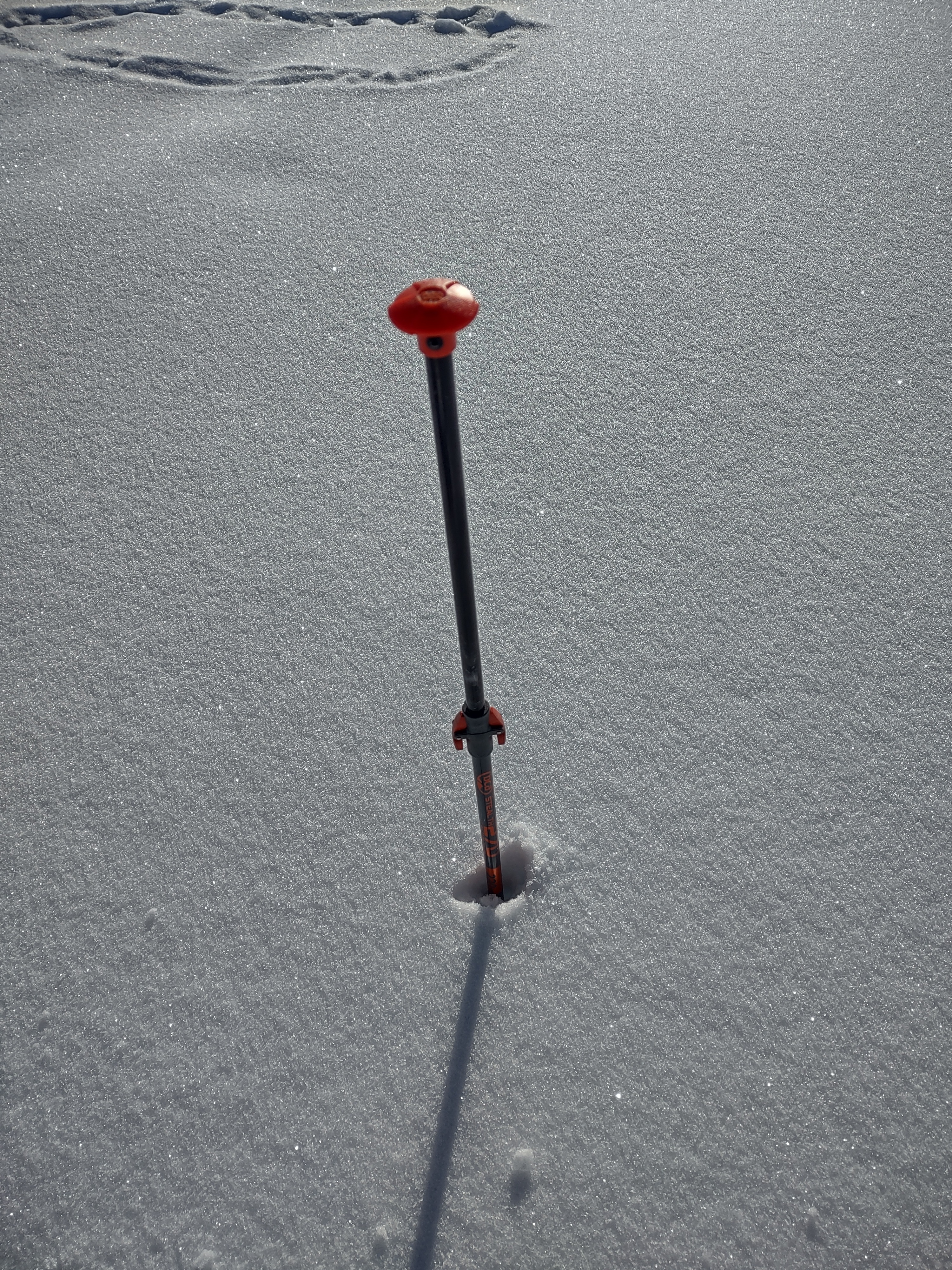
Even with the recent dry spell, mostly cold temperatures have preserved a fantastic early season snow pack in the baker backcountry. While there are still plenty of early season obstacles such as rocks, coverage is excellent for dec 2. Anywhere I traveled, I found mostly 6-12 inches of softer dry newer snow from the last week above the most recent melt freeze crust. Even though it was well above freezing, for the most part Snow surfaces stayed cooler with a light wind and lower winter sun angle. Snow surfaces on Polars and in shaded areas are preserving mostly dry snow, while sun impacted slopes are developing a thin crust which was approximately 2 cm. S, SE aspects that I traveled were becoming wet when the wind wasn't blowing. I dug a pit on a NW aspect at Artist Point, with a snow height of 270 cm. Found a right side up snowpack with 4F hardness to 1F hardness(mostly dry) with a 5 cm melt freeze crust 35 cm below the surface. Below the melt freeze crust the snow was pencil hard and moist. The snow was well bonded to this crust. Extended column test(ECTX23). No real instabilities were observed with the current upper snowpack, however some surface faceting as mentioned in some previous reports was present.
Avalanche
I did see a few wet slides, most of them were shedding from steeper rocky terrain around the area. Most of this activity was most likely from Sunday. Almost all slides stayed in the D.5-D1 range if that.