
Quick report
- Cracking
- specific
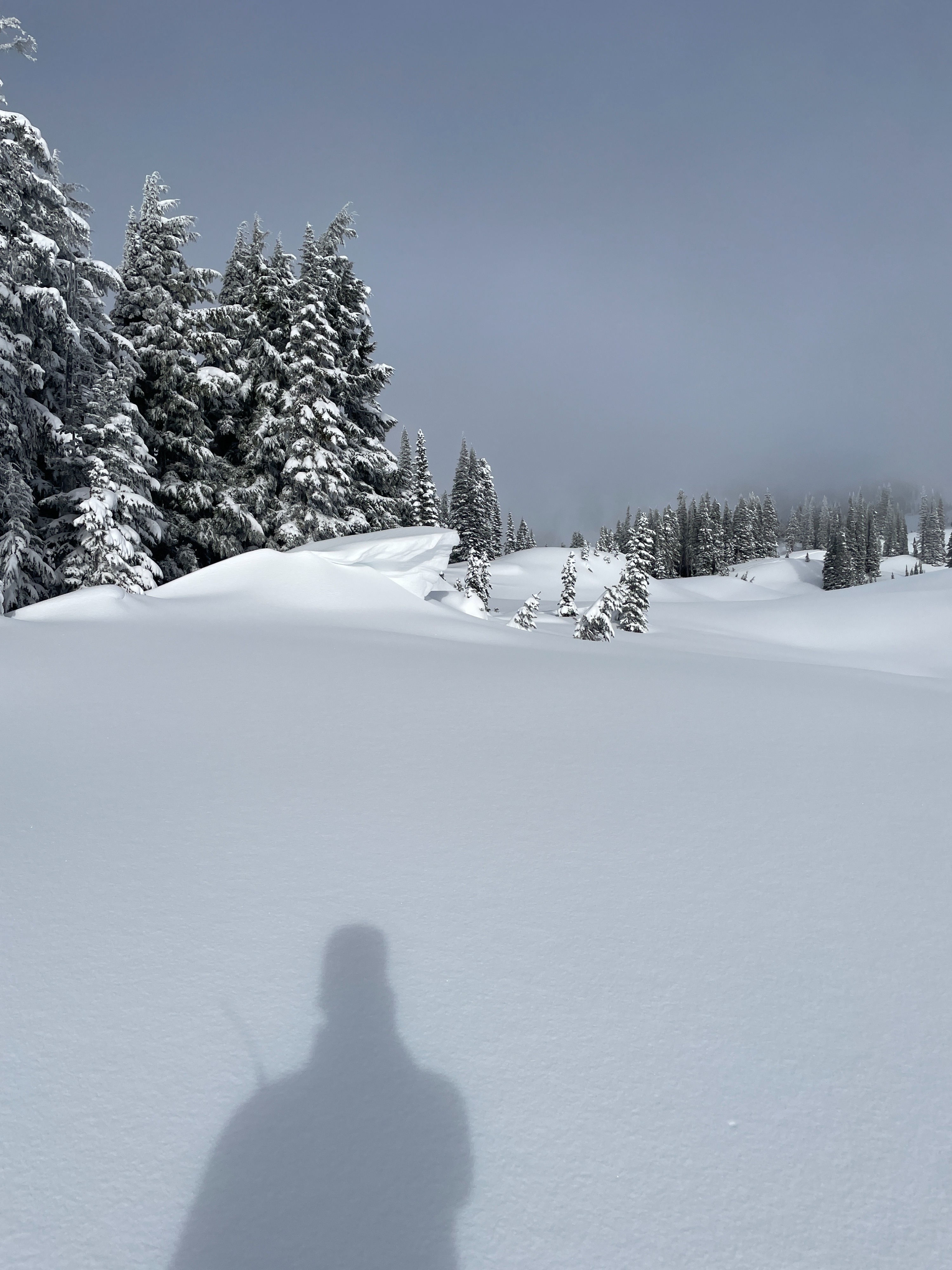
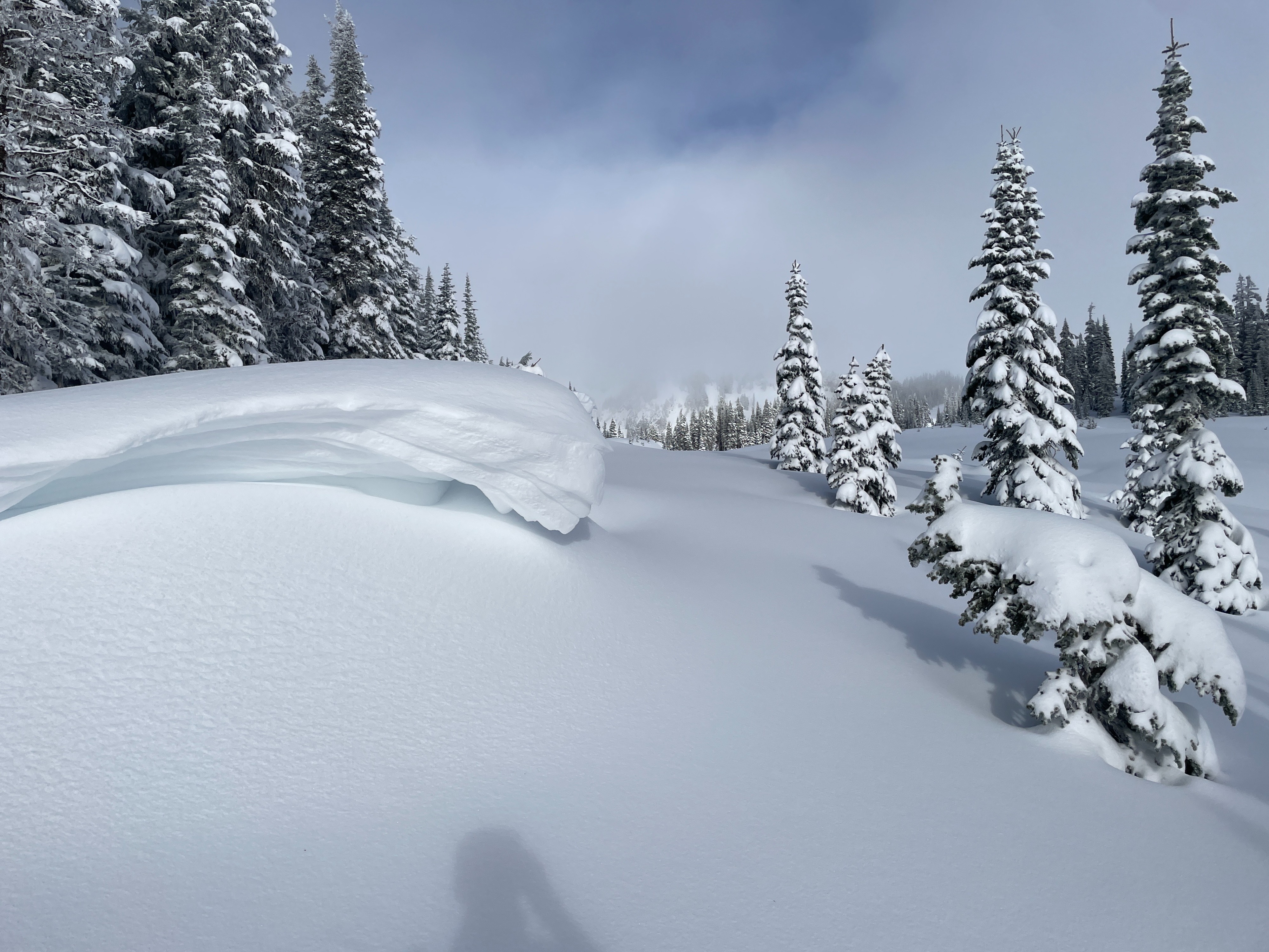
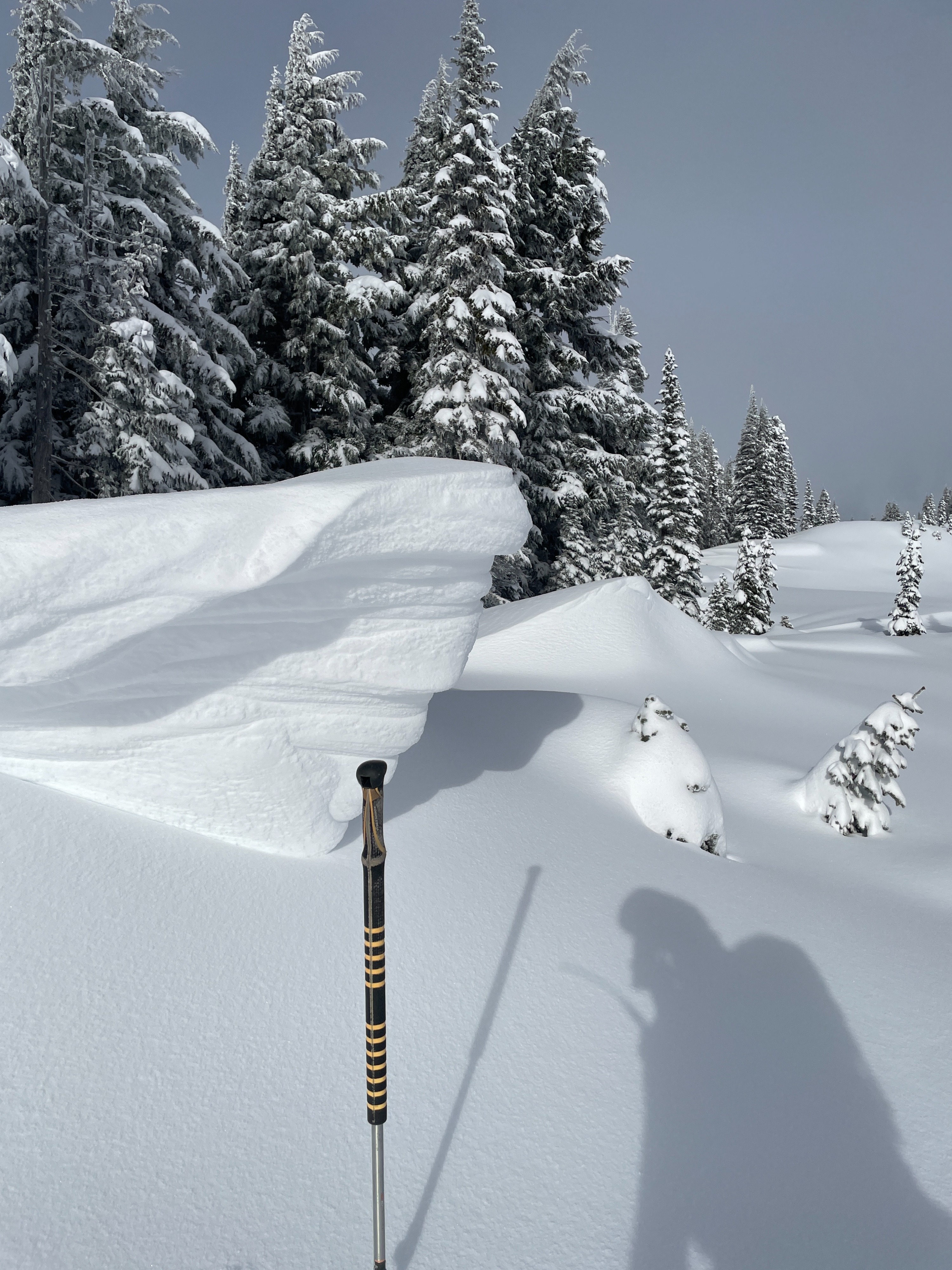
Wind affected snow was apparent on the ridgeline with the impact between this past weekend's east and west winds apparent in different locations. New snowfall was right-side-up and remained soft throughout the day. Saturday's overnight snowfall occurred with minimal wind as trees were blanketed with new snow. Noted a small (D1) dry loose avalanche in the Fly Couloir below Lane Peak visible from the Narada Falls parking area. Cracking was observed near ridgeline in clearly wind affected terrain.
Weather
- Air Temp
- -7 to -1
- Cloud Cover
- broken
- Wind Loading
- none
- Rain Elevation
- 2000
- Recent Snowfall
- 10
- Snow Avail For Transport
- none
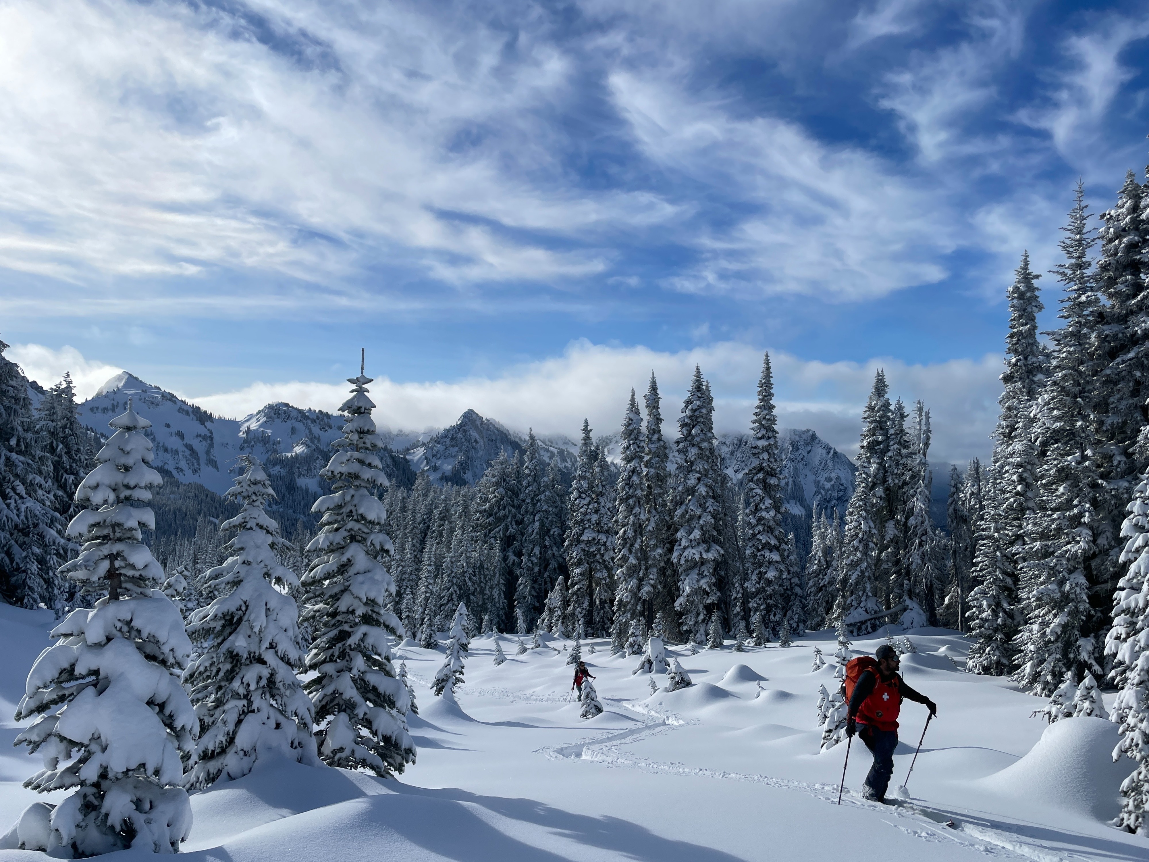
A beautiful day in the mountains. The day started chillier than the last few with temperatures at Narada in the mid-20s. Ascending towards Mazama Ridge, we experienced a brief period of rimed dendrites falling for about 10-15 minutes. That was about the end of precipitation for the day as clouds began to break. In the sun, temperatures felt much more mild, but returning to the shade reminded you it was December. Winds were calm all day. Clouds began to build as our day wrapped up and the next storm approaches.
Snowpack
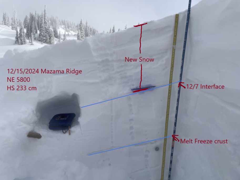
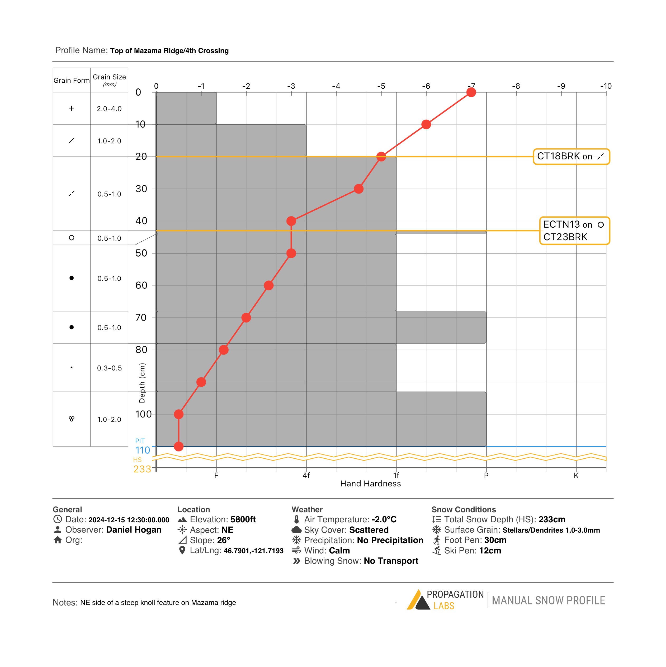
At this location 10 cms of new, low density snow that fell over Saturday night settled nicely on top of a denser layer that was variably impacted by Friday and Saturday's wind. Dug a profile on a NE aspect along a steepr 29 degree feature. Total snow depth was 233 cm at this location. The 12/7 interface was buried 43 cm below the surface. Conducted a CT and ECT in this profile with CT18BRK down 20 cms at a hand hardness change (possibly buried wind affected snow?), CT23BRK down 43, and ECTN13 down 43 results. The latter two occurred on the 12/7 interface, although without a clean shear surface.