
Quick report
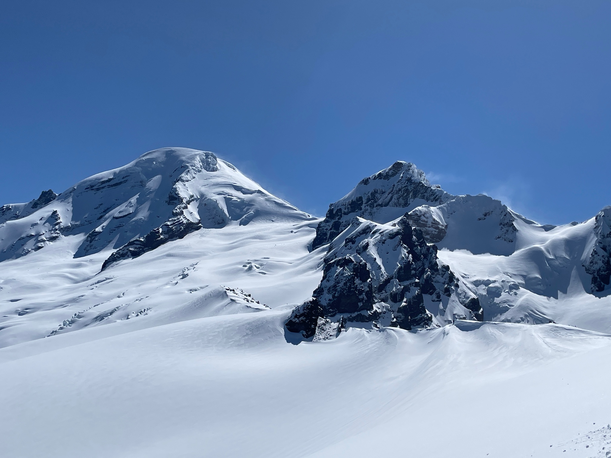
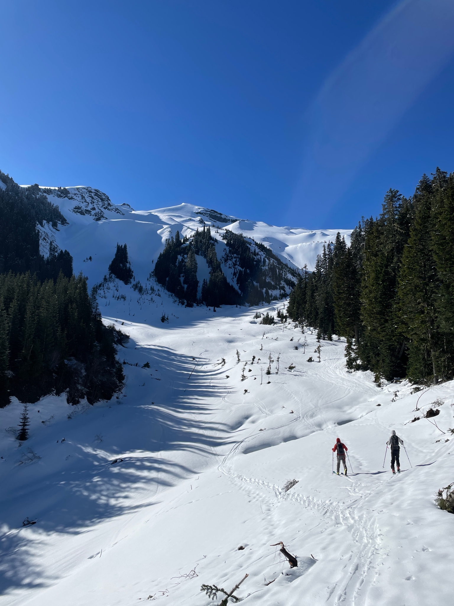
Very firm snow from Heliotrope TH up Grouse Creek approach (continuous snow after a few hundred feet of forest walking from TH). Crust likely developed from warm temps Tuesday afternoon then refroze. Above 5k the crust (3cm) became more sugary/styrofoam texture but remained ski supportable. By 6k more dry snow was being wind transported from above but a crust remained on the NW facing approach slopes. Very active wind transport from N winds above 6800ft and lots of transport visible high on Baker and Colfax. True N facing terrain down to 6k held wonderful powder. We skinned up and descended the NW terrain around 12:30. The crust on this terrain had broken down in the sun/heat and the skiing was very enjoyable down to 5k with no signs of instability. Below 5k the snow became increasingly gloppy. It seems all aspects below 7k feet were likely to have developed a solid sun crust today. Lots of big cornices still lurking ahead of the weekend warmup.
Avalanche
Some wet loose debris from the recent 48 hr snowfall. Most avalanches were point release from trees, cliffs, or down tracks of riders from the previous day. In terrain traps some of this debris ran up to 300ft and included rollerballs up to beach ball size. It seems this snow warmed in the late afternoon on Tuesday and all avalanches we saw had likely happened Tuesday afternoon.