
Quick report
"Variable" continues to be the best way to sum up the wide array of surface conditions. Steep southerly slopes were the only locations we experienced that have undergone an extensive freeze-thaw process. Today they thawed and produced excellent mid-winter spring snow. Other surfaces remain much colder and more winter-like. This includes widespread near surface facets, particularly at middle elevations. After the terrain we had traveled and the conditions we had experienced, we were surprised to see what appeared like a new natural wet loose slide this afternoon.
No cracking or collapsing.Weather
- Air Temp
- 37
- Cloud Cover
- clear
- Wind Loading
- light
- Recent Snowfall
- 0
- Snow Avail For Transport
- small smounts
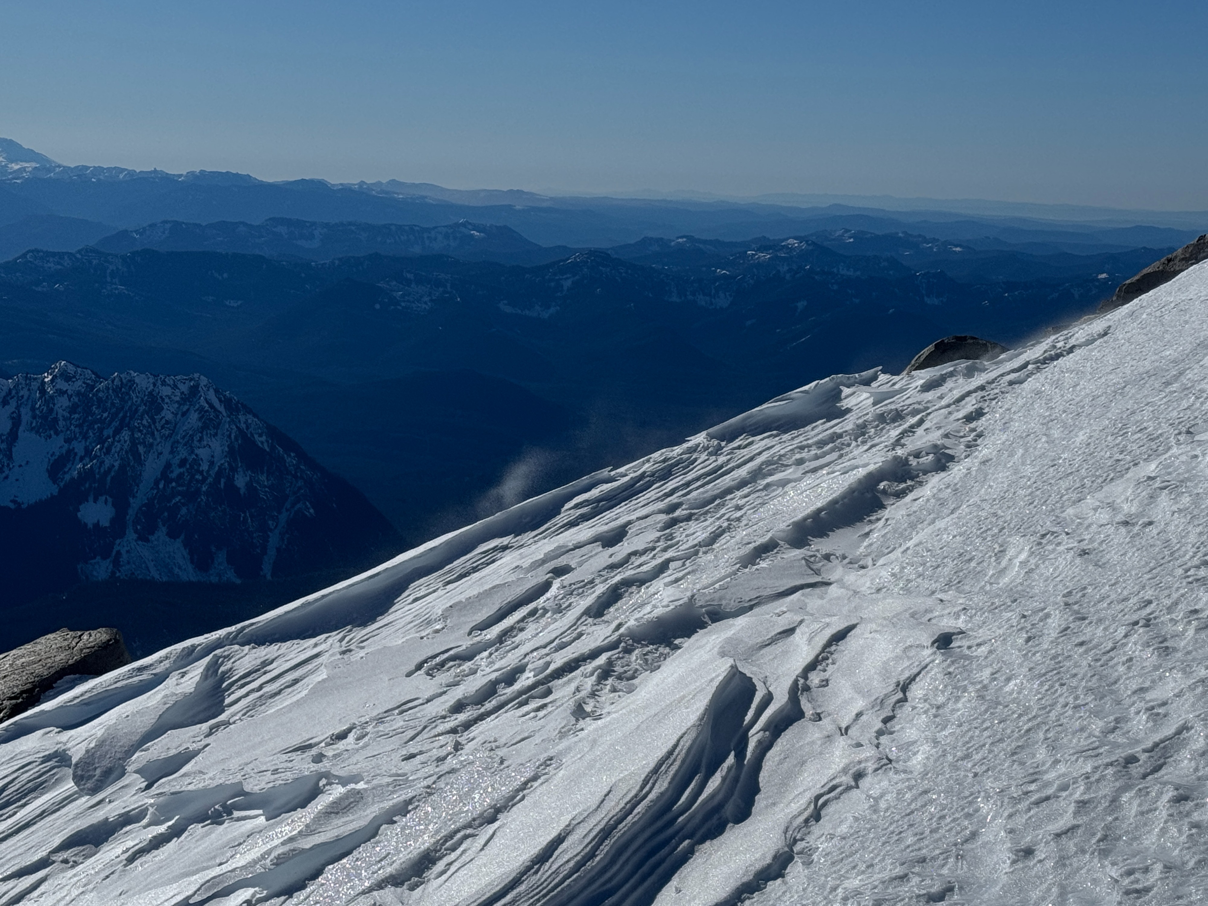
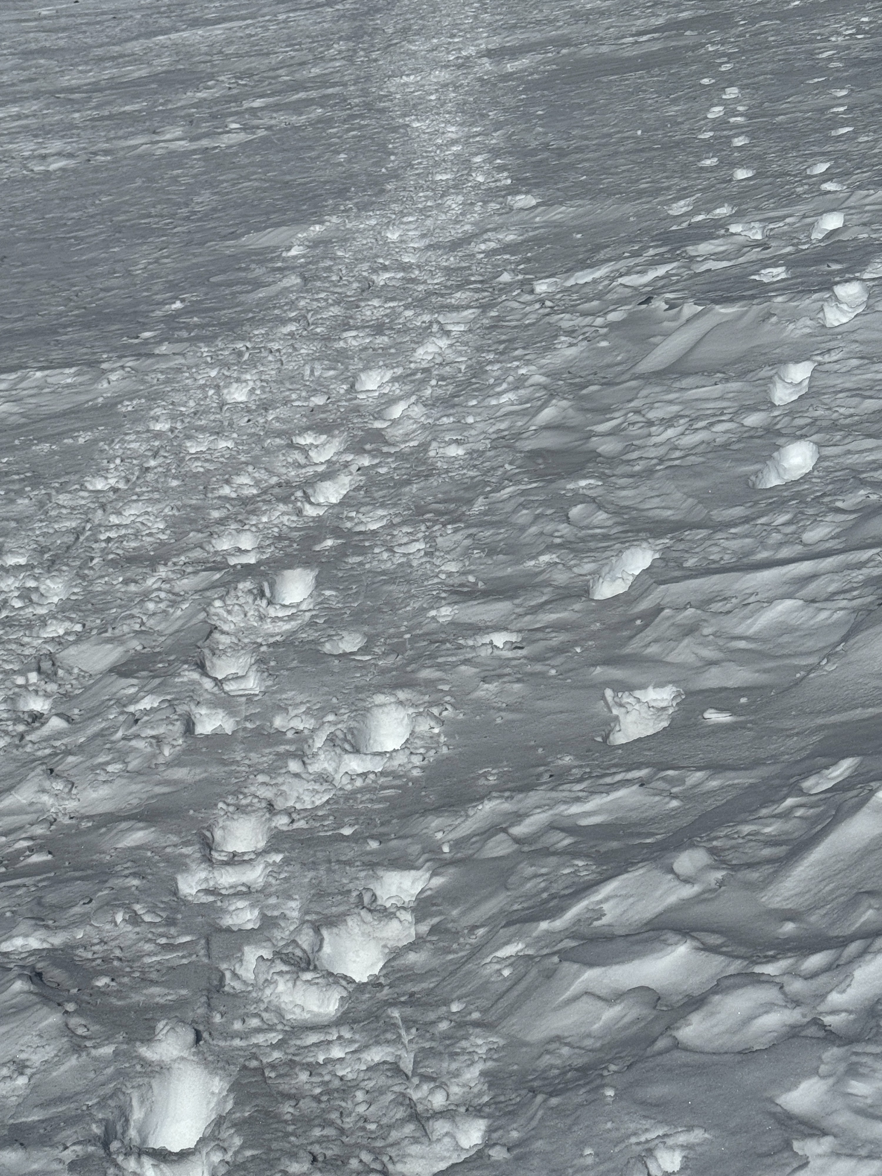
It was a gorgeous day on Rainier! Plenty of sunshine and light winds made it feel much warmer than the air temperatures may suggest. We did not find snow available for transport at middle elevations but closer to 8000ft, there was blowing snow and wind textured surfaces. We did not find any wind slabs.
Snowpack
Middle Elevations:
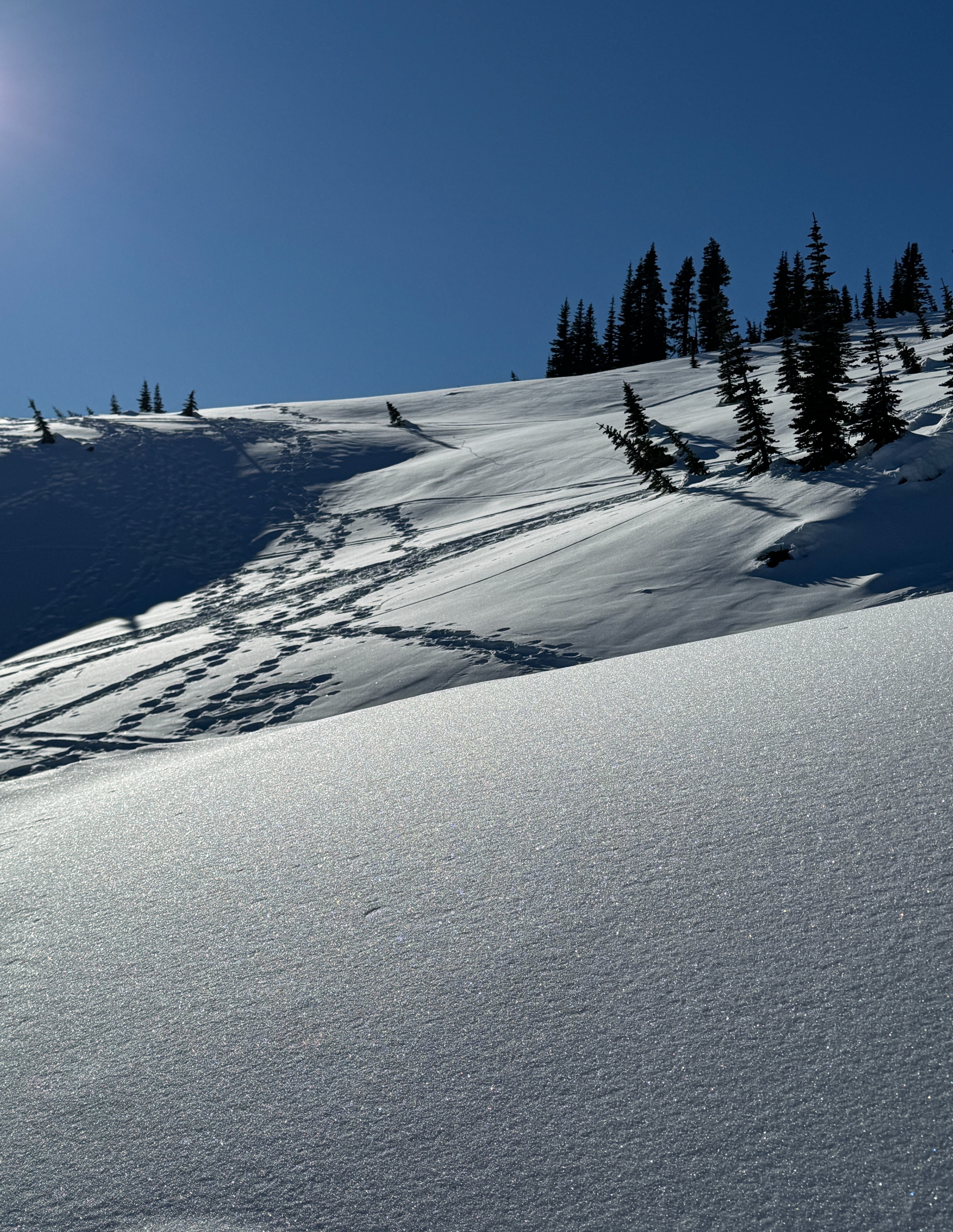
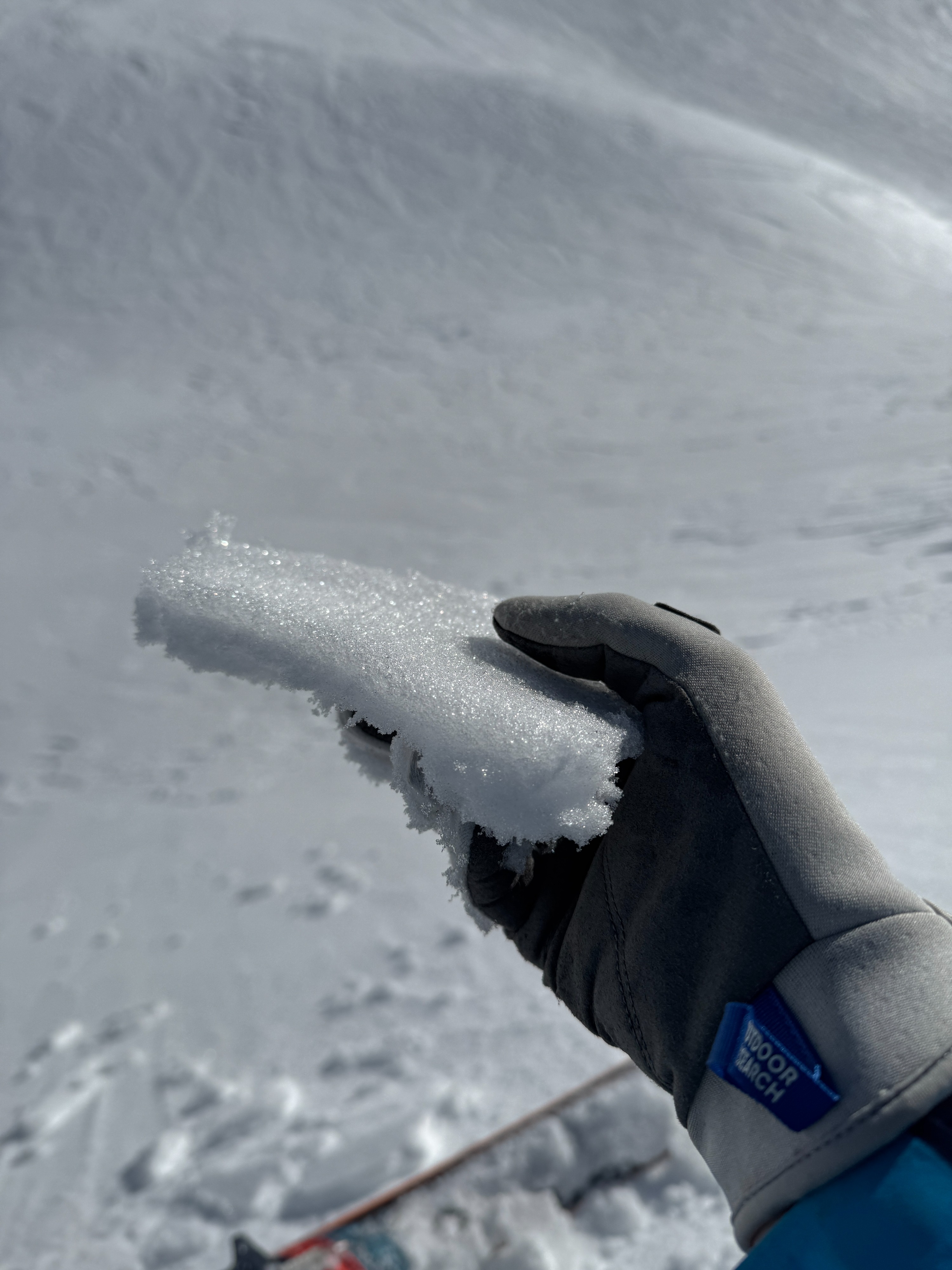
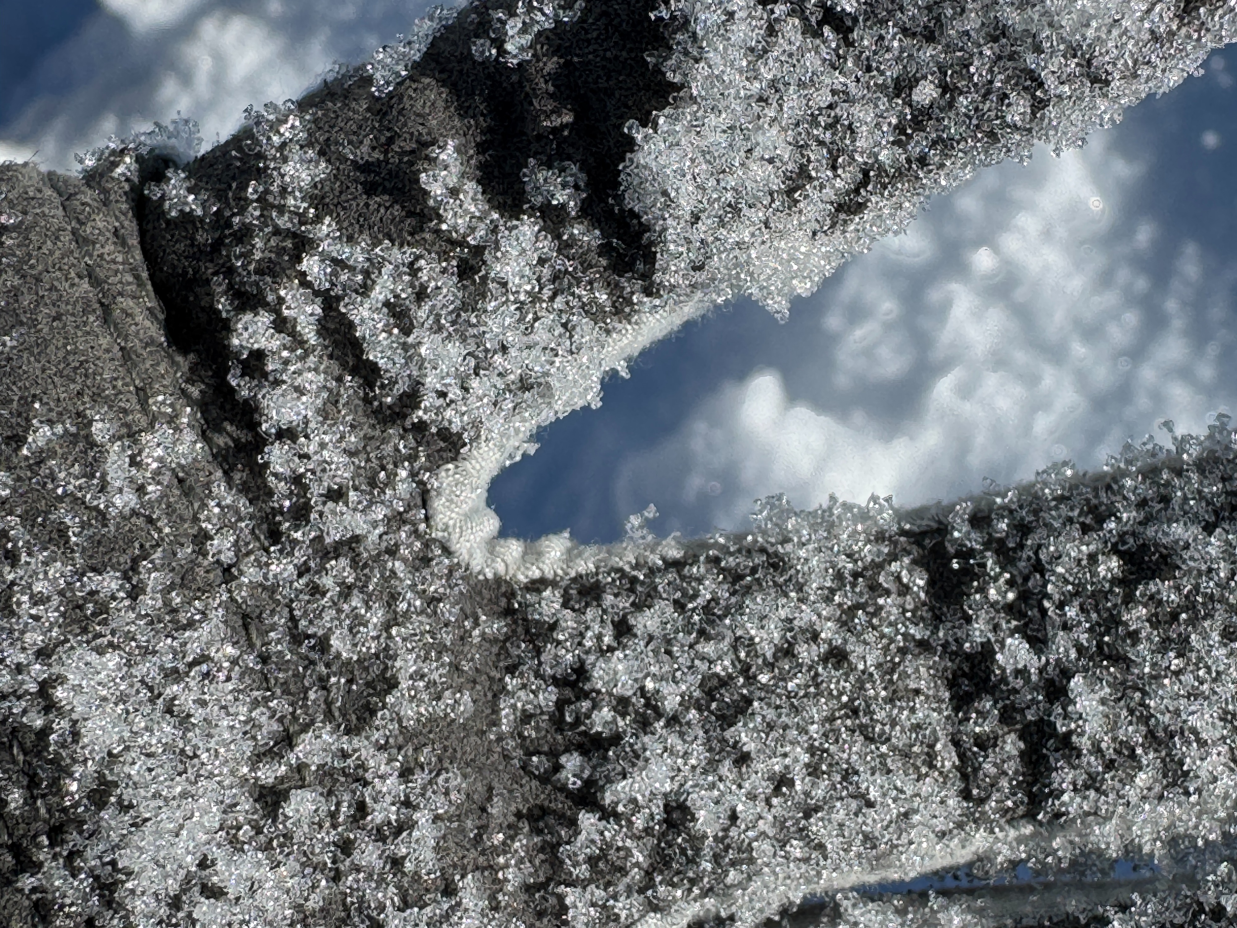
The upper snowpack is generally composed of 1-1.5mm sugary facets over the incredibly stout 1/10 crust. The difference from slope to the next is the depth of the facets and whether they are capped by a thin melt-freeze crust? The depth of the near surface facets ranges from just 1/2 inch (1cm) to about 8-10 inches (20-25cm). A surface crust is more common on lower angle southerly slopes and steeper E-SE and SW-W aspects.
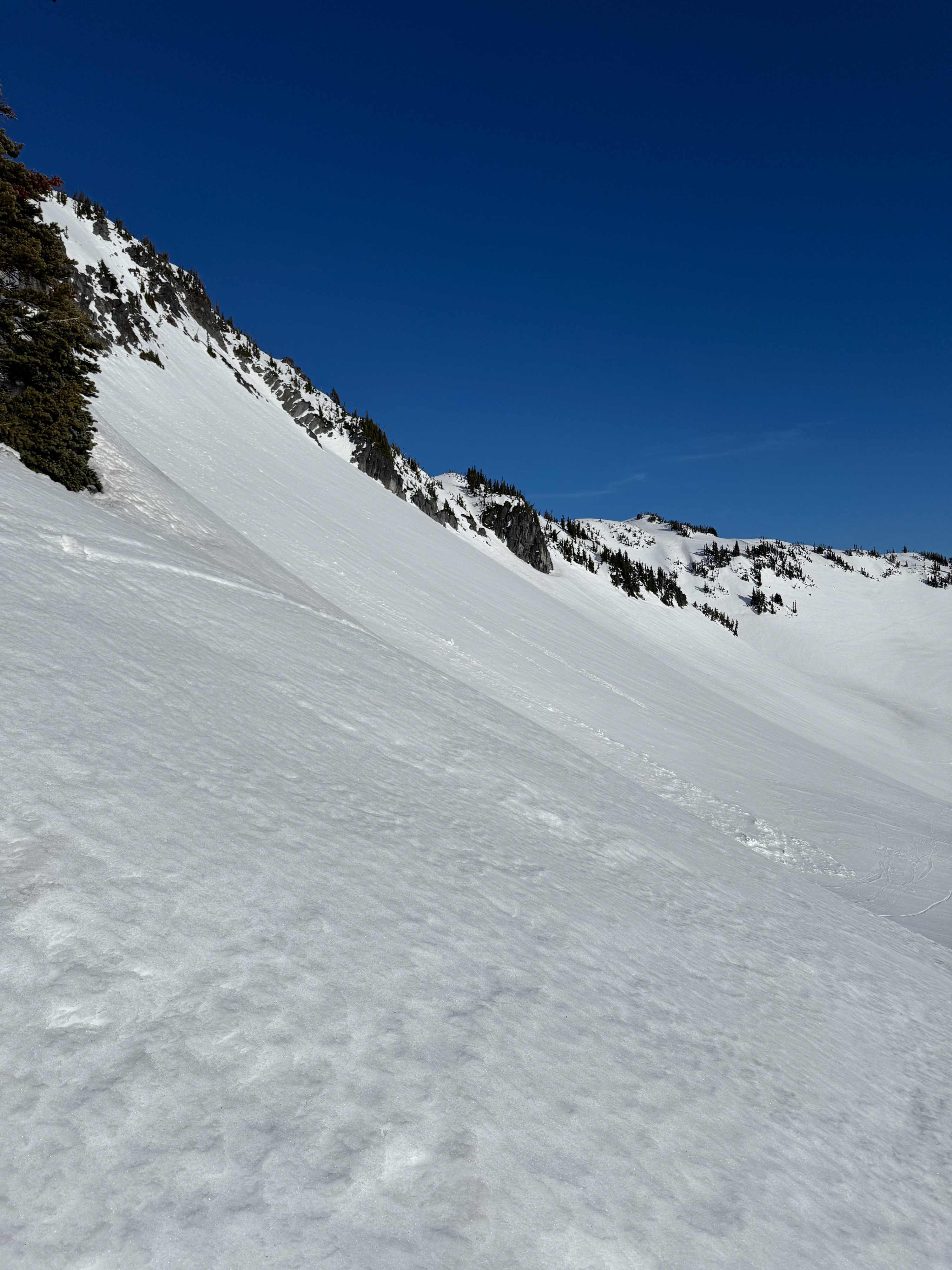
Steeper southerly terrain has undergone a more consistent freeze-thaw cycle over the past two weeks. While firm in the morning, these slopes softened today, producing ~1 in (2-3cm) of spring snow (corn). We were unable to trigger any rollerballs or wet loose slides even on slopes greater than 40 degrees.
In exposed locations, strong winds from various directions have stripped the snowpack, but these wind scoured areas were generally confined to ridges.
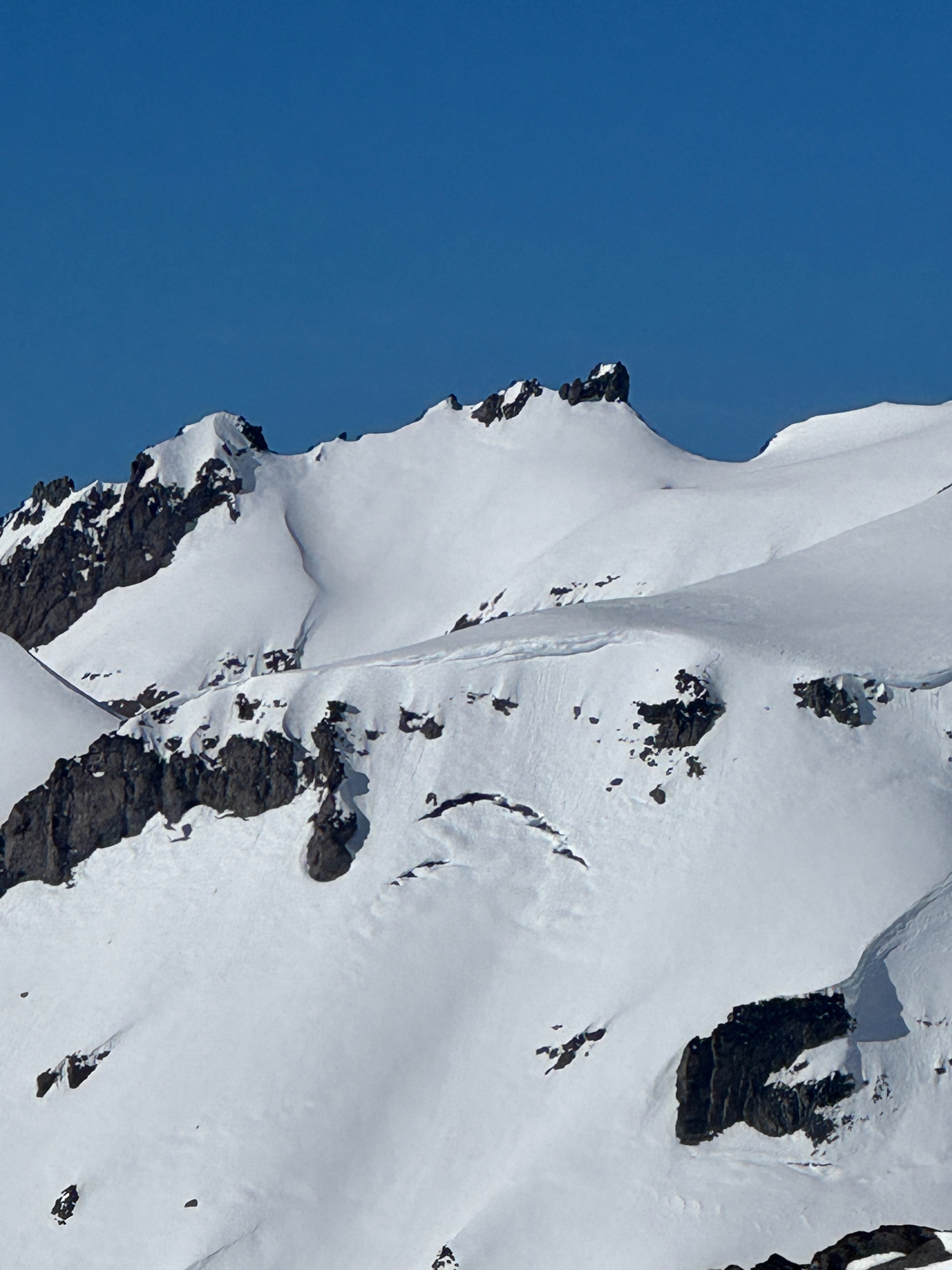
It's impressive to still see piles of old avalanche debris from nearly 2 weeks ago. These slides likely occurred between 1/12 and 1/15.
Upper Elevations:
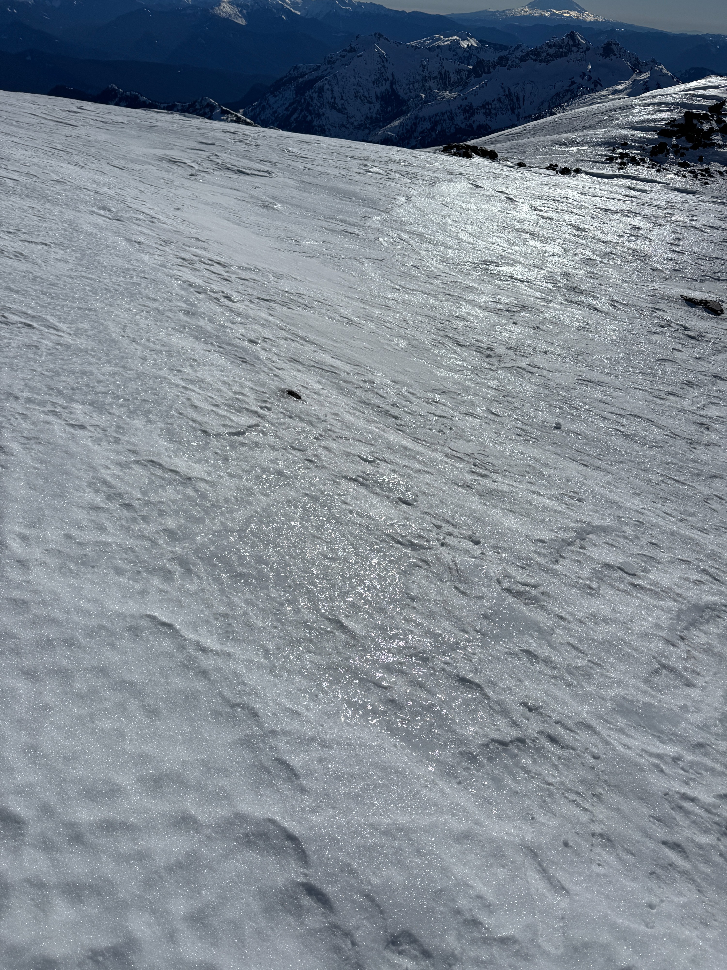
Many slopes are highly wind affected. Large wind textured (sastrugi) surfaces were common along with blowing snow. Some locations are scoured down to the ice below. Sparkley near surface facets were found at upper elevations but were less common, much smaller, and more localized.
Only these steepest southerly (SE-S-SW) terrain had entered a spring-like freeze-thaw cycle. Similar to slopes at middle elevations, these areas softened nicely in the sunshine and produce soft spring snow by 1pm. Again in very steep (40degree) terrain we did not trigger any rollerballs or wet loose slides.
Avalanche
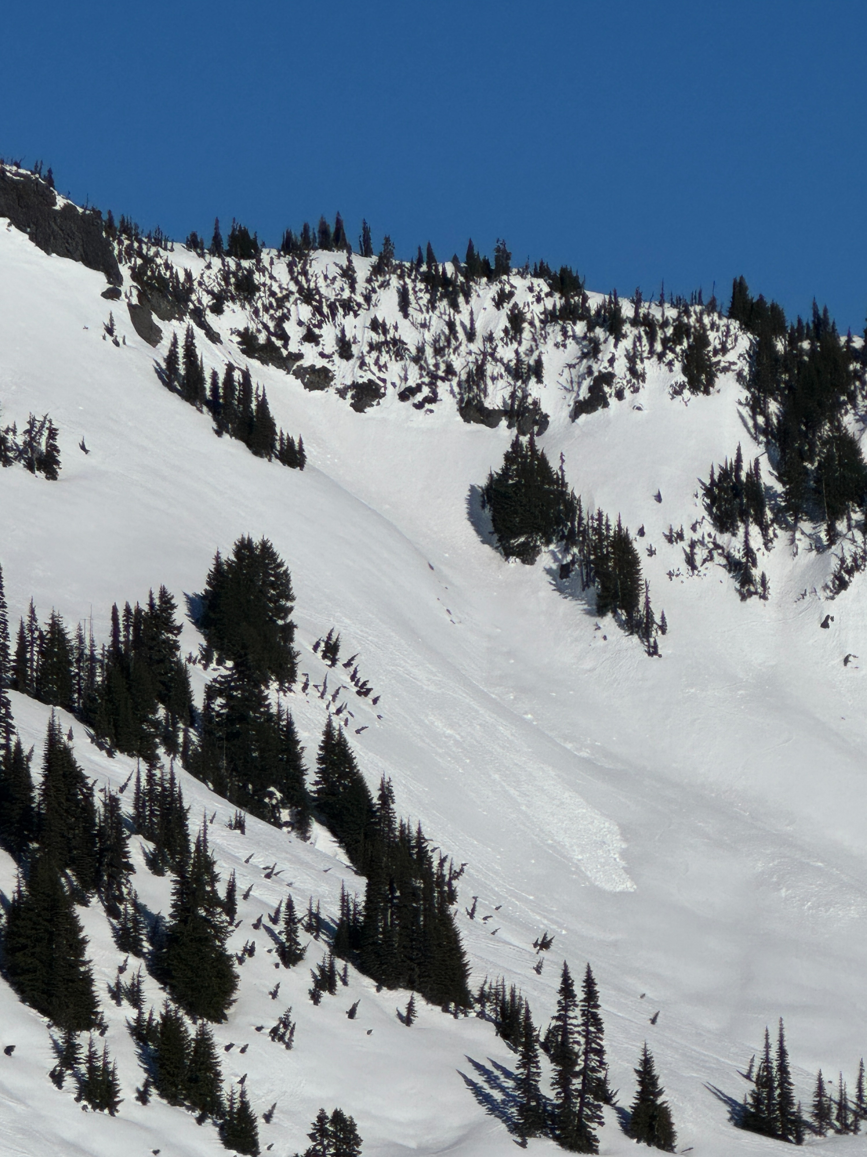
We saw what appeared to be one new natural wet loose avalanche. While this slide could be older, the bright white and sharp texture make it appear much newer than the other piles of old debris. The avalanche occurred on a S facing slope around 6200ft just west of Sluiskin Falls. WL-N-R1/D1.5-U