
Quick report
- Cracking
- specific
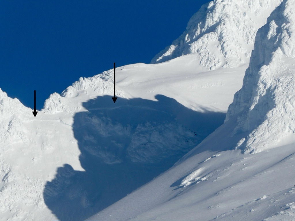
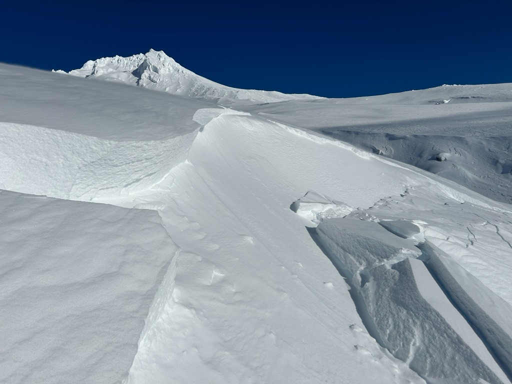
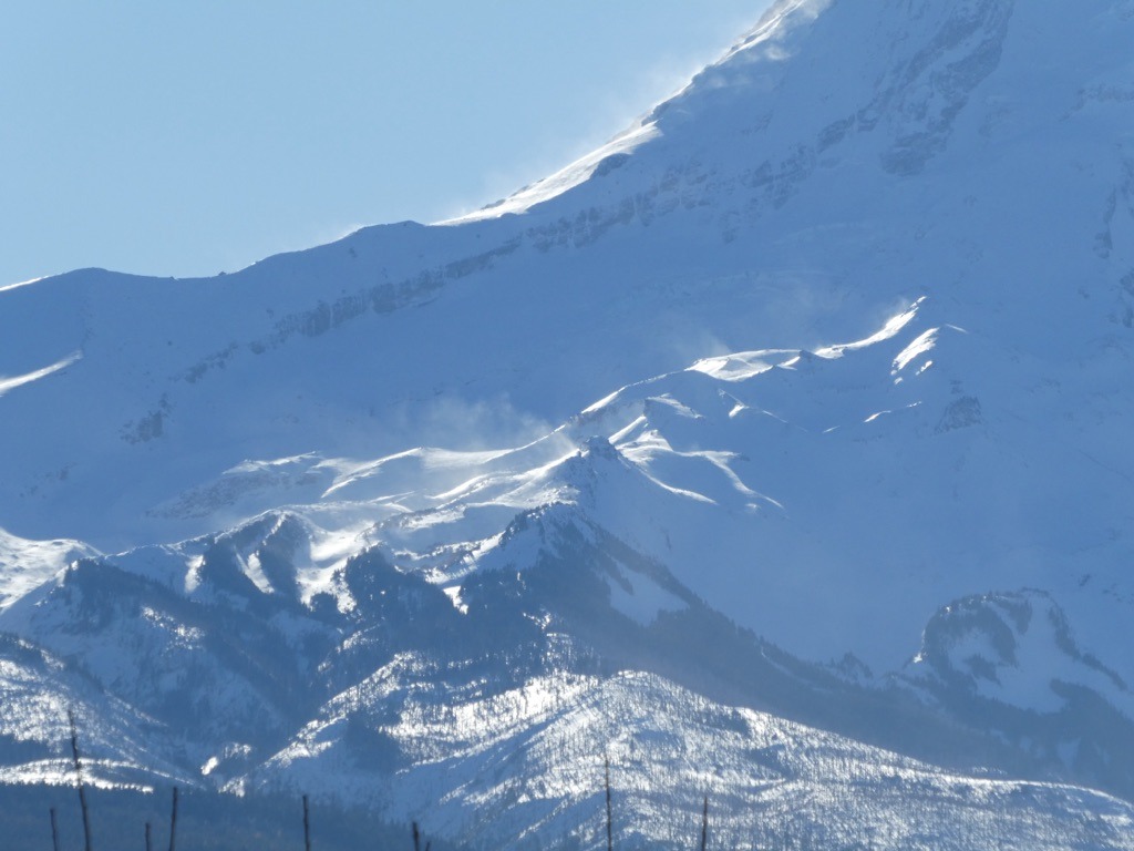
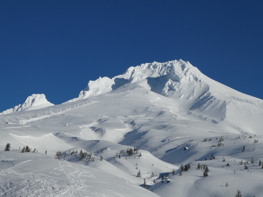
We took advantage of the first sunny day to check out the snowpack at upper elevations on the south side of Mt. Hood. In general, we found about 5-7 inches of new snow resting over the late November crust. Recent moderate winds drifted new snow into reactive 1-2' thick slabs which were easy to trigger on small slopes. Larger avalanches on the upper mountain serve as a reminder that avalanche conditions become more complex as you climb higher on the mountain.
Weather
- Air Temp
- Below breezing
- Cloud Cover
- clear
- Wind Loading
- moderate
- Rain Elevation
- 5000'
- Recent Snowfall
- 12-14
- Snow Avail For Transport
- large amounts
We broke through low-level clouds into bluebird skies around 4000'. Winds were rather light through the morning hours, but they ramped up around lunchtime into the moderate range and started driting new snow.
Snowpack
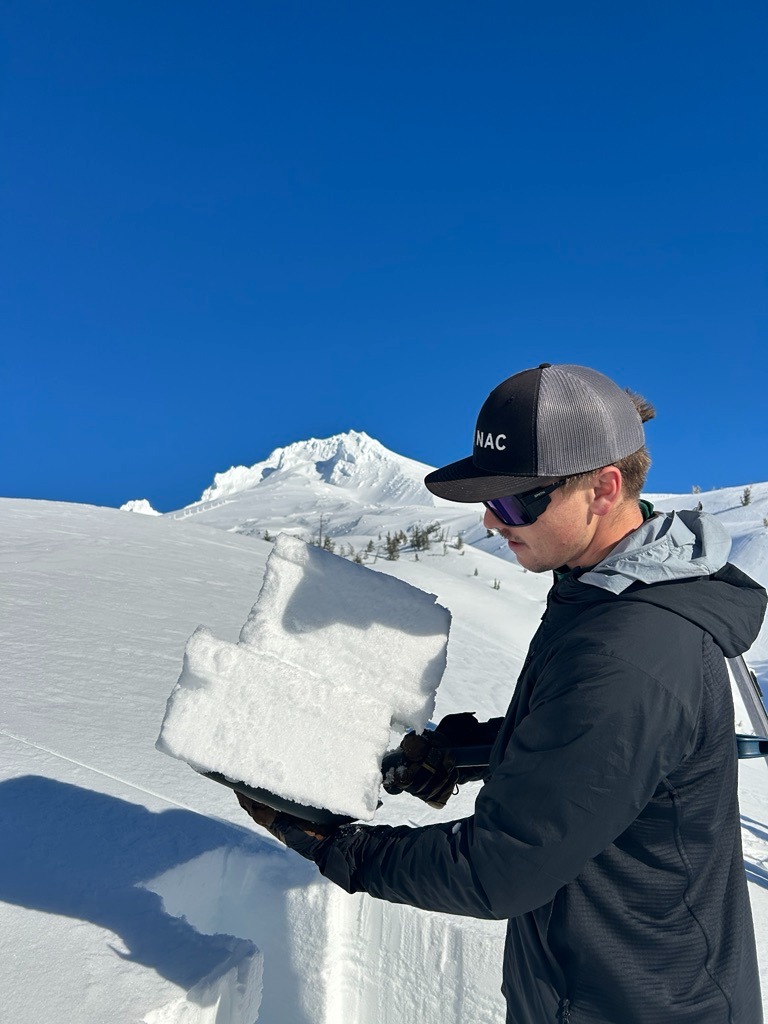
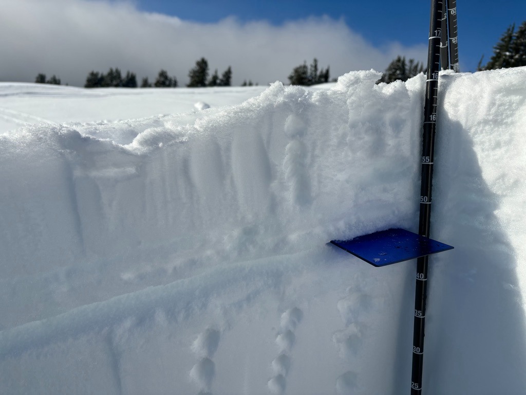
HS ranged from 160-190 cm between 6-7000'. In a test profile on SE aspect @ 6000' we observed a strong, right side up mid and lower pack. The upper snowpack is made up of a series of crusts from our warm-up last week. We found this crust extending to our high point at 8400 ft.
This upper crust produced planar results with shovel tilt tests, but failed to produce any meaningful results with CT's/ECT's likely due to the lack of slab above. Interestingly, we did find a layer of graupel (40 cm below surface) that did produce SP results with CT's (CT22), but failed to propagate with larger columns.
Avalanche
- Size
- D1 R1
- Type
- SS
- Count
- 2
- Aspect
- SE
- Trigger
- AR
- Elevation
- 7000 ft