
Quick report
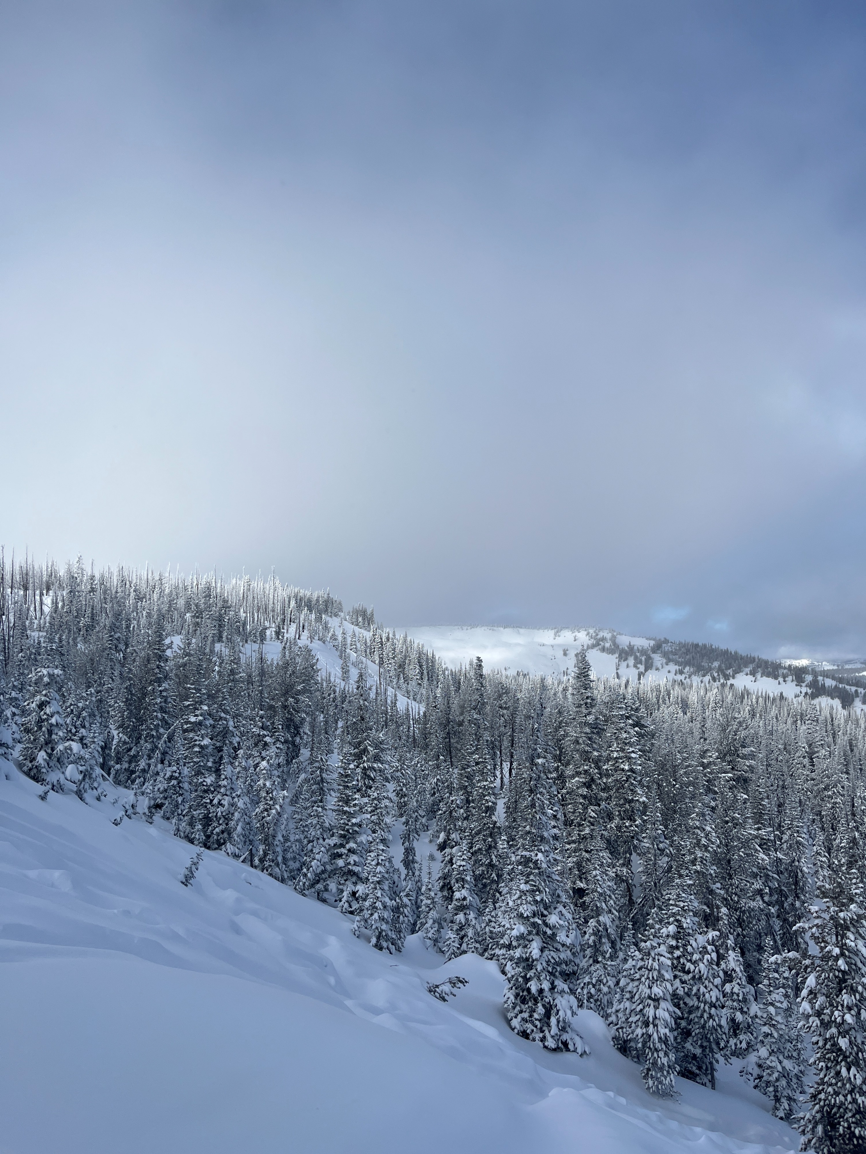
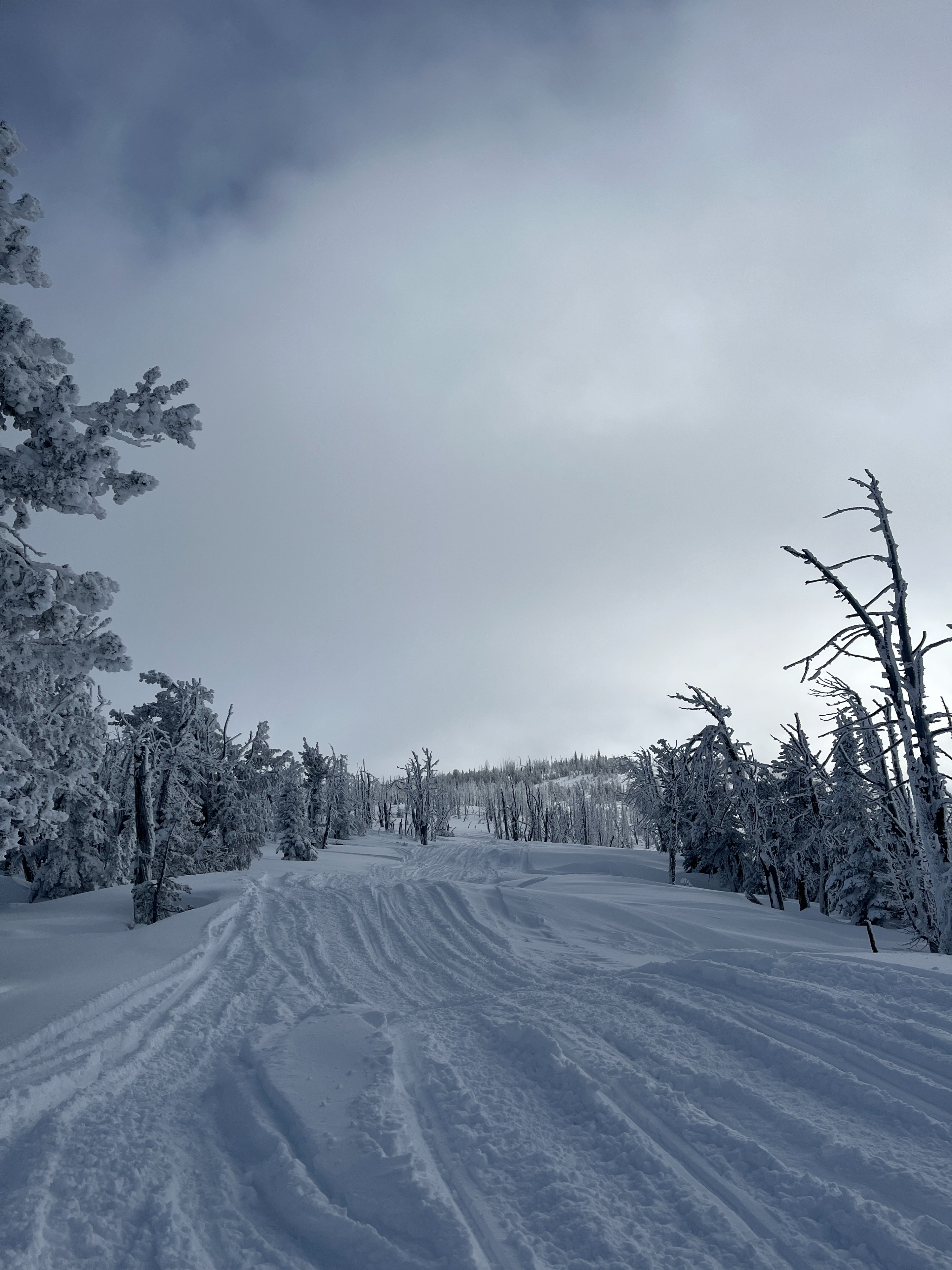
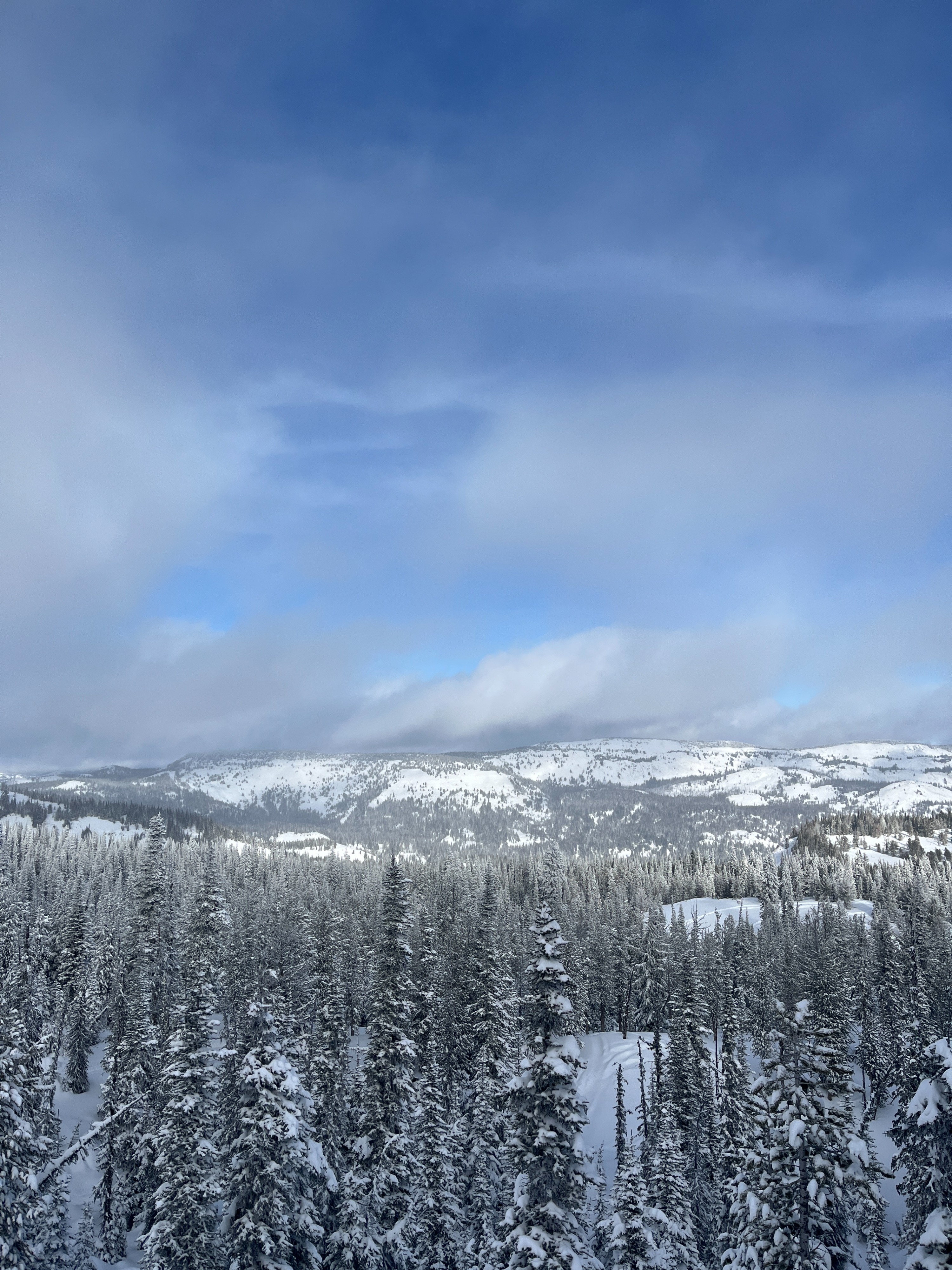
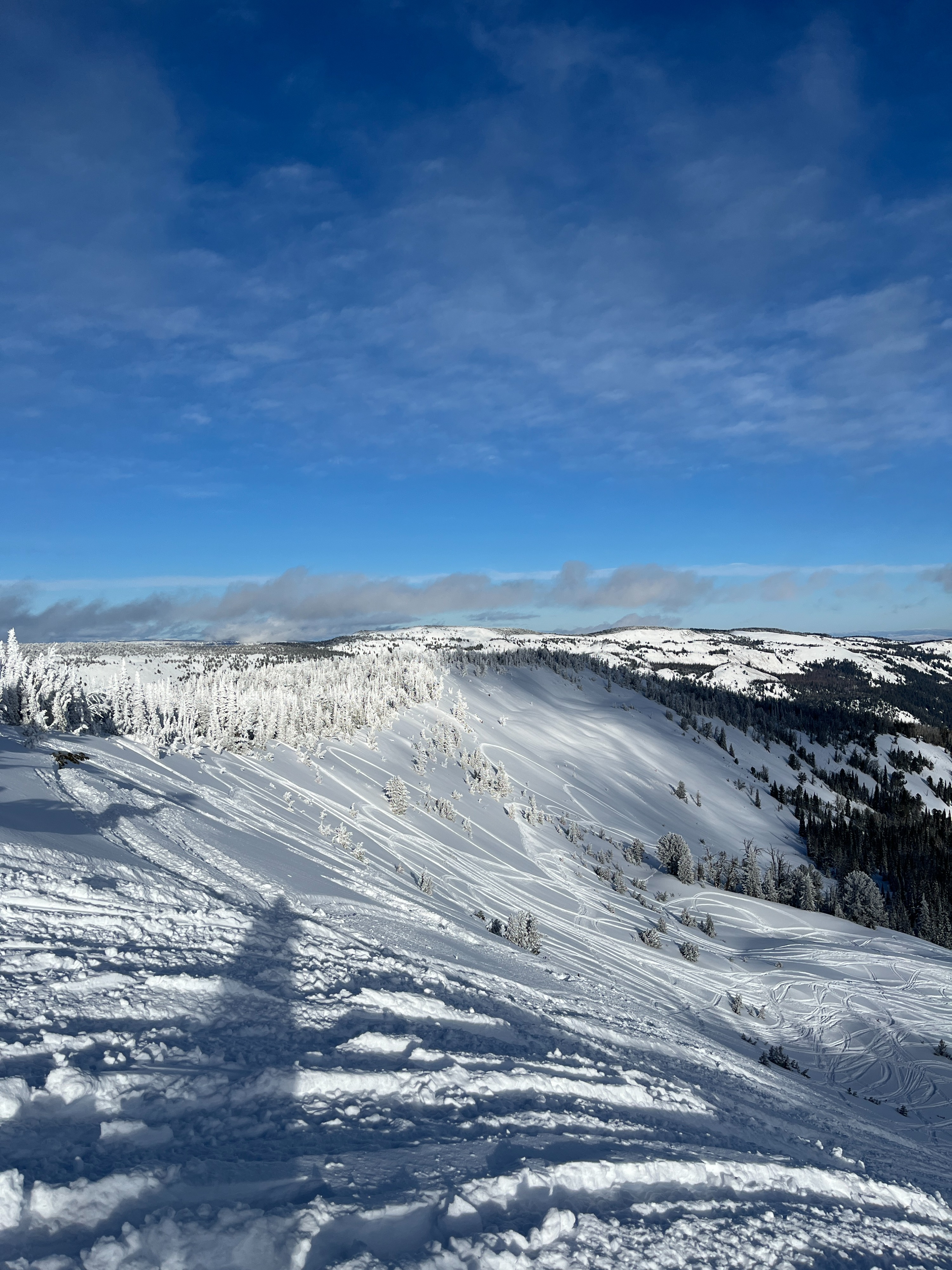
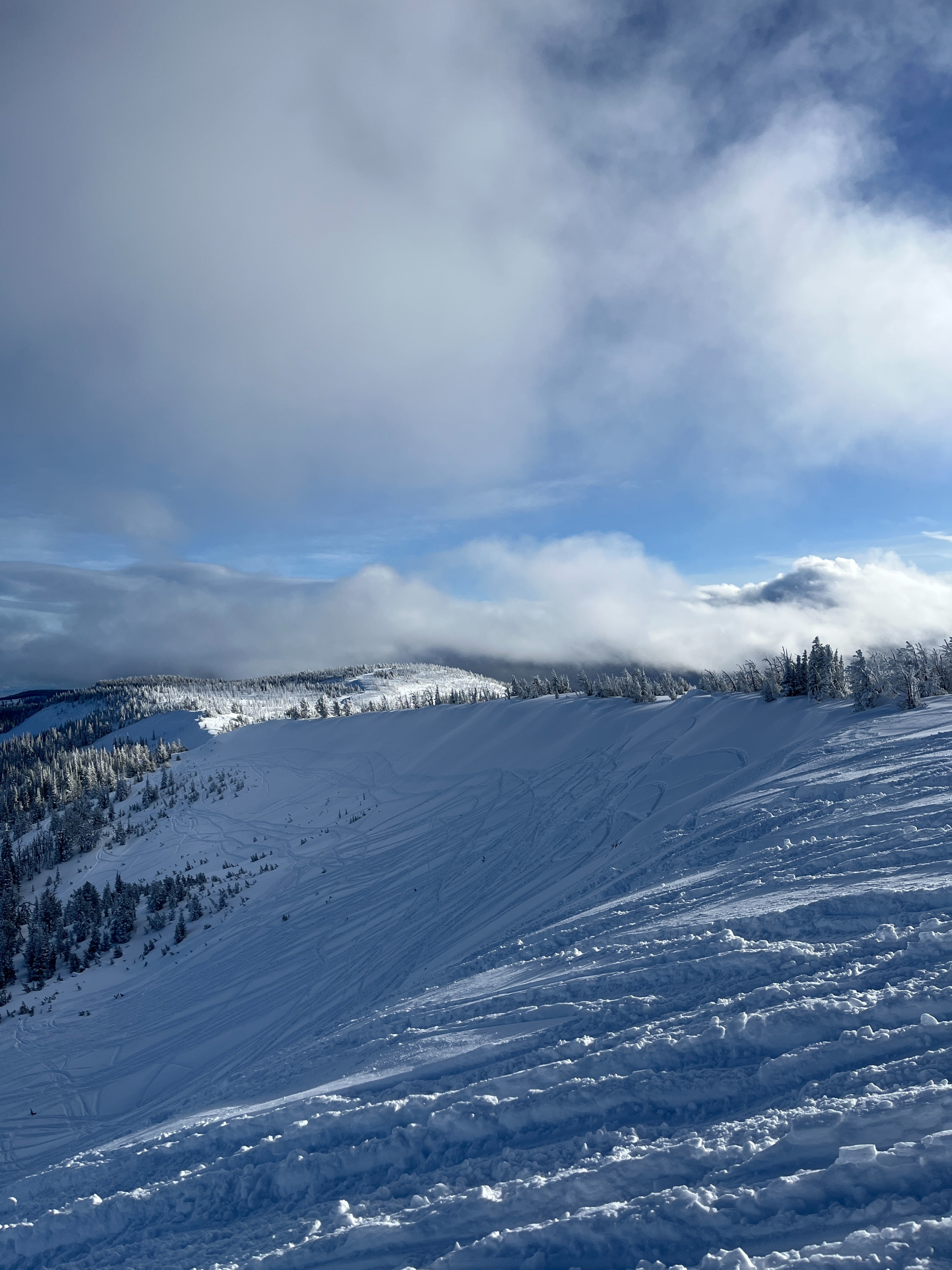
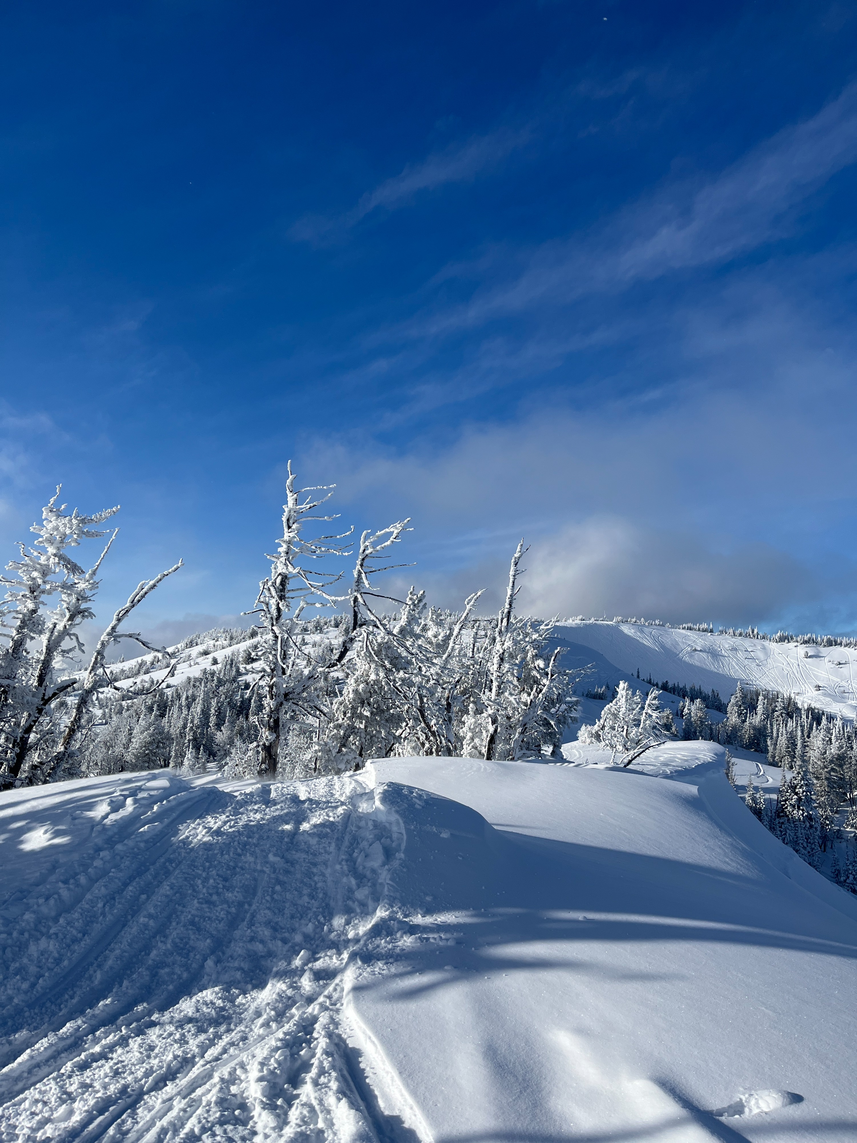
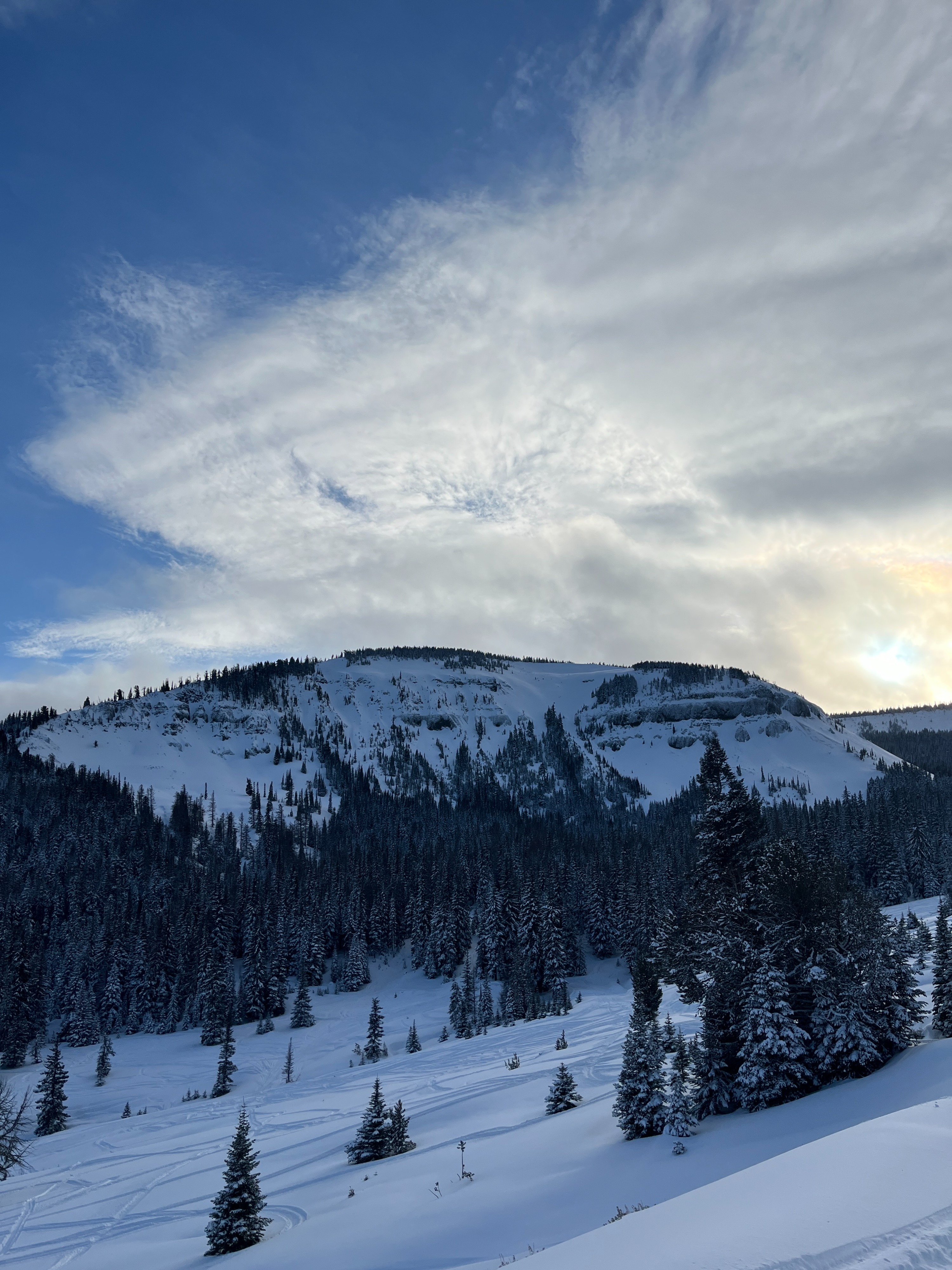
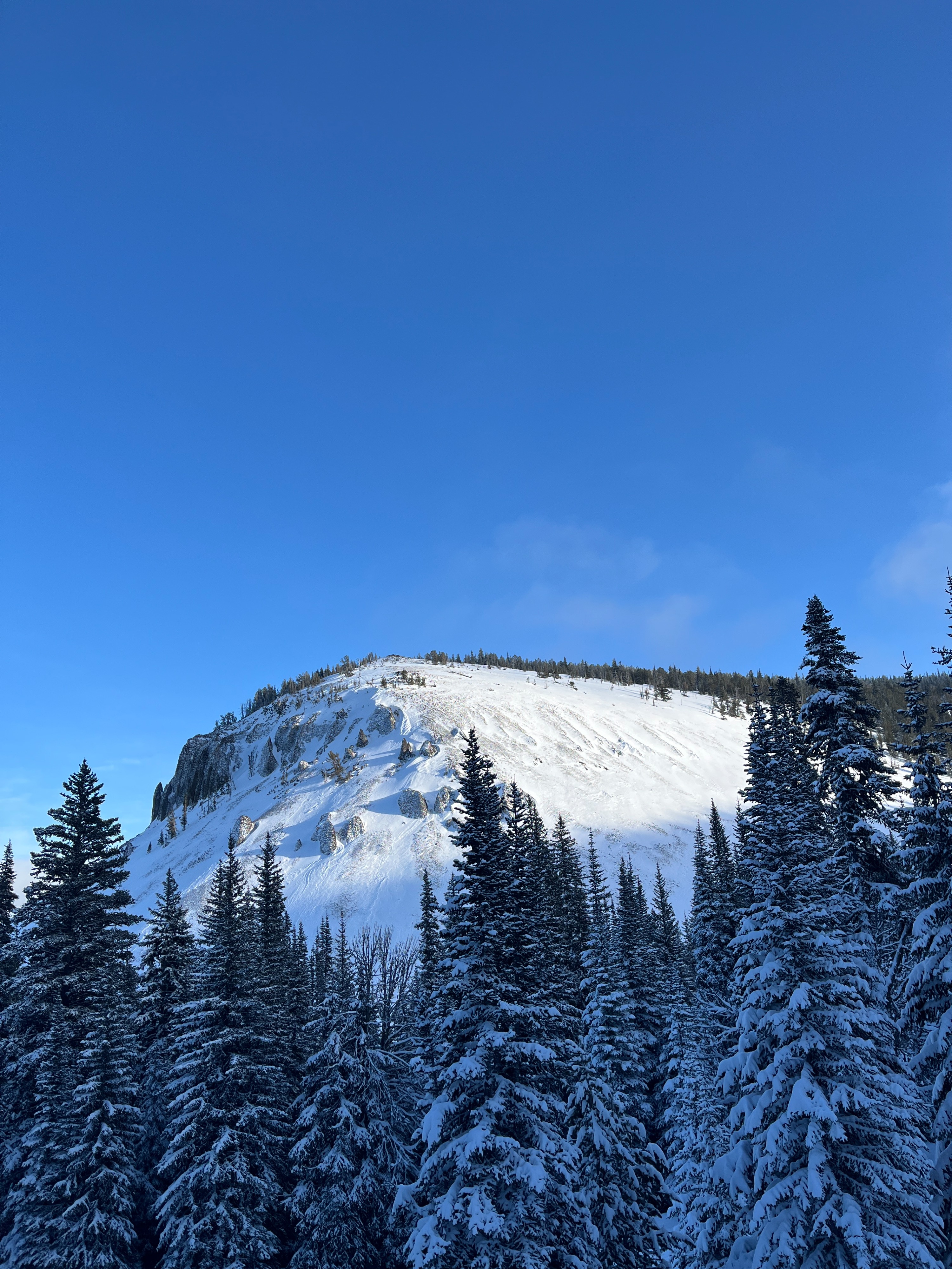
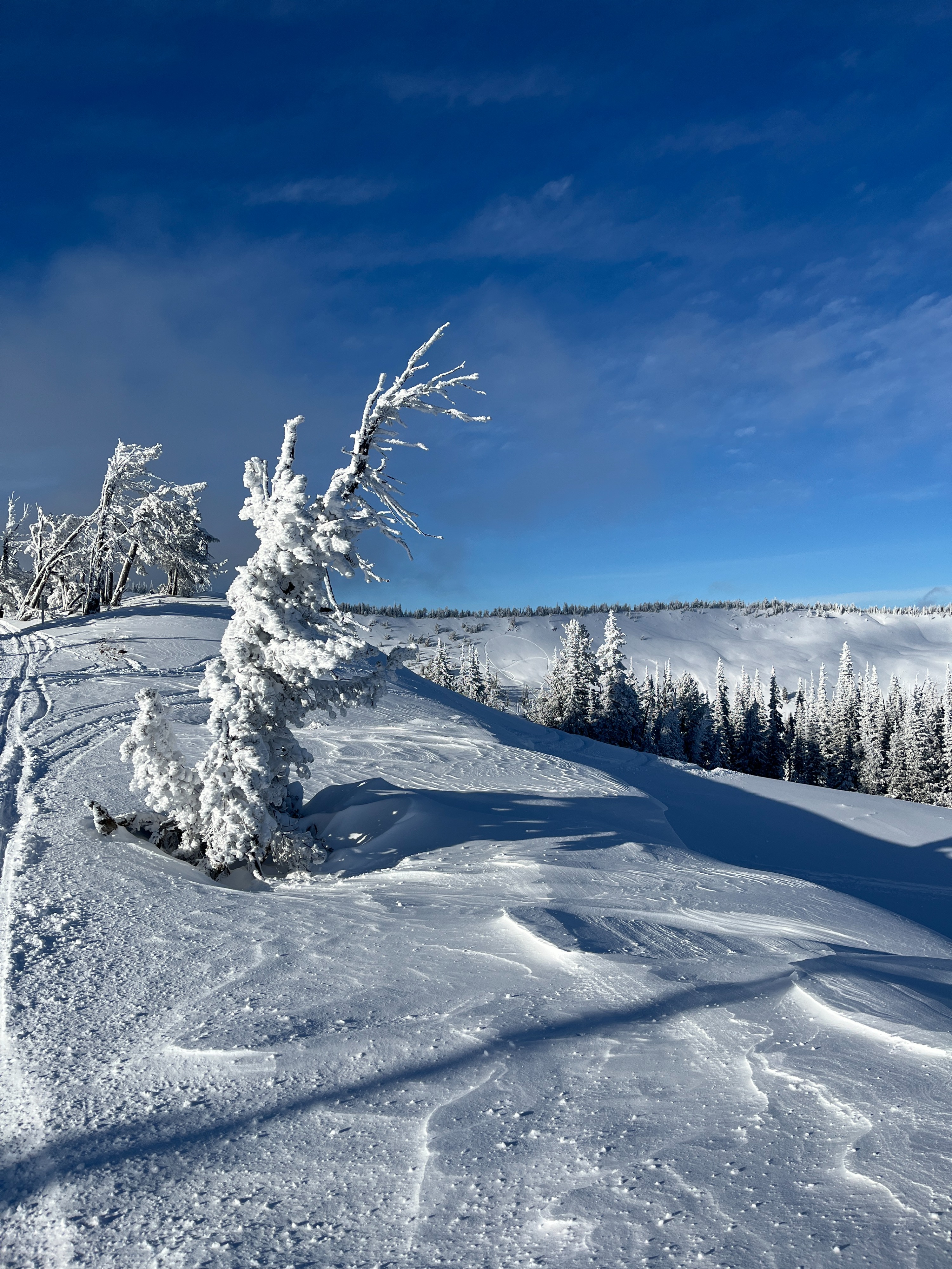
Today's objectives were terrain familiarization and info gathering for our data-starved East South zone. I was pleasantly surprised to find more snow in the Darland area than expected. The area had gotten a much needed refresh from recent storms. We encountered no signs of instability except for one tiny dry loose sluff. We did observe lots of indications of wind transport.
We observed one D0.5 dry loose sluff on a NE aspect at middle elevations.Weather
- Air Temp
- -12
- Cloud Cover
- scattered
- Wind Loading
- light
- Recent Snowfall
- 45
- Snow Avail For Transport
- moderate amounts
The sun was in and out throughout the day behind lower clouds. Temperatures remained cold. Wind was calm with light gusts from the southwest. Light gusts transported soft surface snow onto lee slopes.
Snowpack
At lower elevations, there is still minimal snow coverage but we didn't encounter any patches of dry ground. The snowpack begins to increase in depth around 3500 ft. The average depth at 3700 ft was 24in/60cm and at 4700 ft was 32in/80cm.
We dug a pit on a N aspect at 6800 ft. The depth of this pit was 59in/149cm. There was18in/45cm of very soft and unconsolidated new/recent snow overlaying the 12/7 facet/crust combo we've been eyeing for signs of overloading. Below this was a number of melt freeze crusts interspered by layers of either rounded grains or faceting rounds. Overall, the snowpack structure was relatively good. We got a hard result on the facet/crust combo in a shovel shear test (STH). An extended column test produced a moderate non-propagating result within the layer of new/recent snow and then a hard non-propagating result at the facet/crust combo (ECTN14, ECTN28).