
Quick report
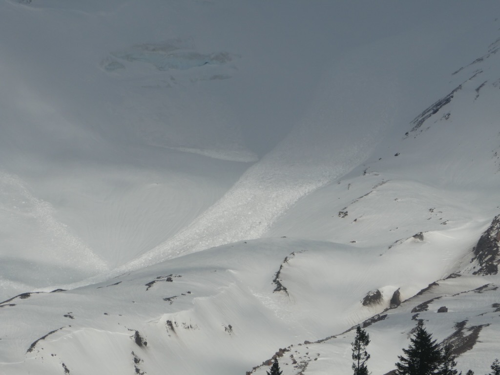
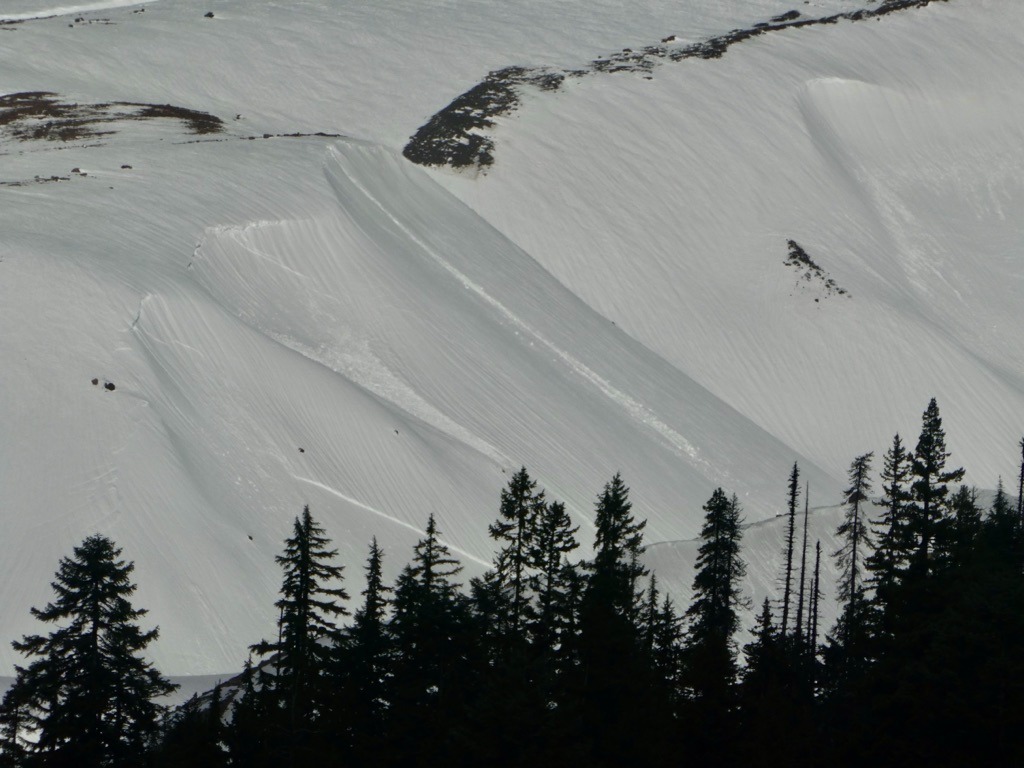
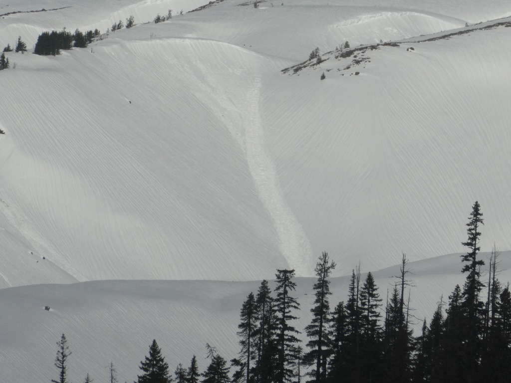
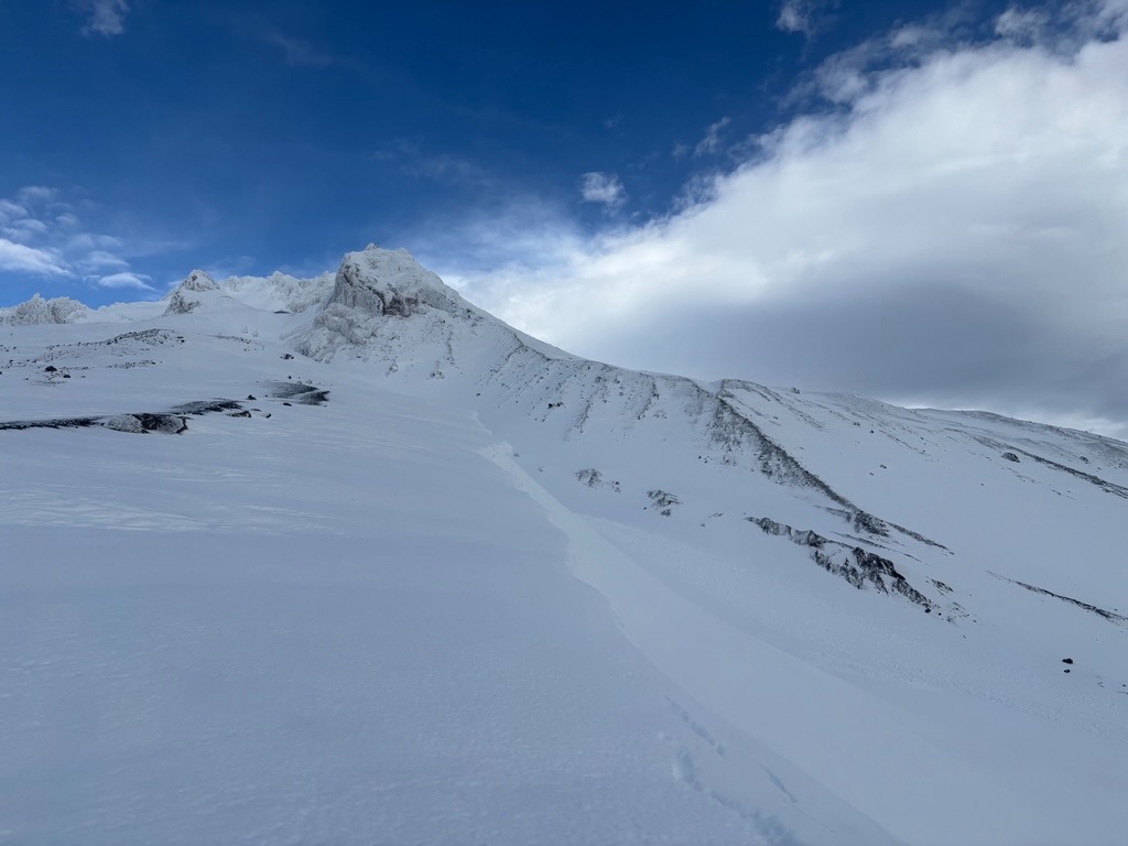
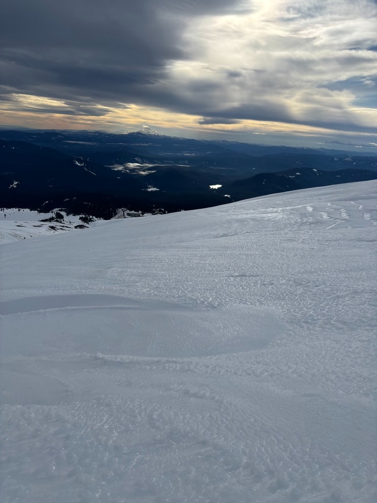
The Dec 17th rain event sure left its mark across the terrain on the south side of Mt Hood. The snowpack endured quite a beating and released numerous large to very large avalanches in the White River Canyon. Rain runnels, wet-punchy snow, and a thin-breakable surface crust make up much of the surfaces below 7500 ft. Once above this elevation, the crust becomes boot and ski-supportable and quite slick. Be ready with the proper mountaineering gear and the ability to self-arrest a fall if you climb to upper mountain terrain.
While triggering a wet loose is becoming less likely with time, wet snow instabilities still exist at middle and lower elevation slopes. With the mild overnight temps, it didn't take much time for the surface crust to break down and for the upper snowpack to feel sloppy under-ski.Weather
- Air Temp
- 40's
- Cloud Cover
- overcast
- Wind Loading
- none
- Rain Elevation
- Over 10,000 ft
- Recent Snowfall
- 0
- Snow Avail For Transport
- none
Visibility was fickle above 8000 ft. There were few short-lived sun breaks, but these seems few and far between.
Snowpack
Below 7500 ft: The snowpack remains wet and punchy with a thin surface crust in the morning. The top 15 cm consists of wet grains with moist snow below. Ski/ Boot Pen: 10 cm / 30 cm on average. These will be the elevations where you are most likely to encounter wet snow instabilites.
Above 7500 ft: The crust becomes much firmer and more supportable. These elevations are slick and the ski quality is poor. Climbers will find more enjoyable travel than folks attempting to slide on skis or splits.
Avalanche
White River Canyon offered a nice display of recent wet loose & slab avalanches in the D2-D3 range from our natural cycle on 12/17.