
Weather
- Cloud Cover
- obscured
- Wind Loading
- none
- Snow Avail For Transport
- small smounts
Minimal, very light rain from 8a-12:30. Rapid onset of heavy rain at 12:30. Clouds were high, above 5,500-6,500ft into mid-AM, then began to thicken and lower with fog by 12:30.
Avalanche
- Size
- D2
- Type
- WL
- Count
- 3
- Aspect
- S
- Trigger
- N
- Elevation
- 5000 ft
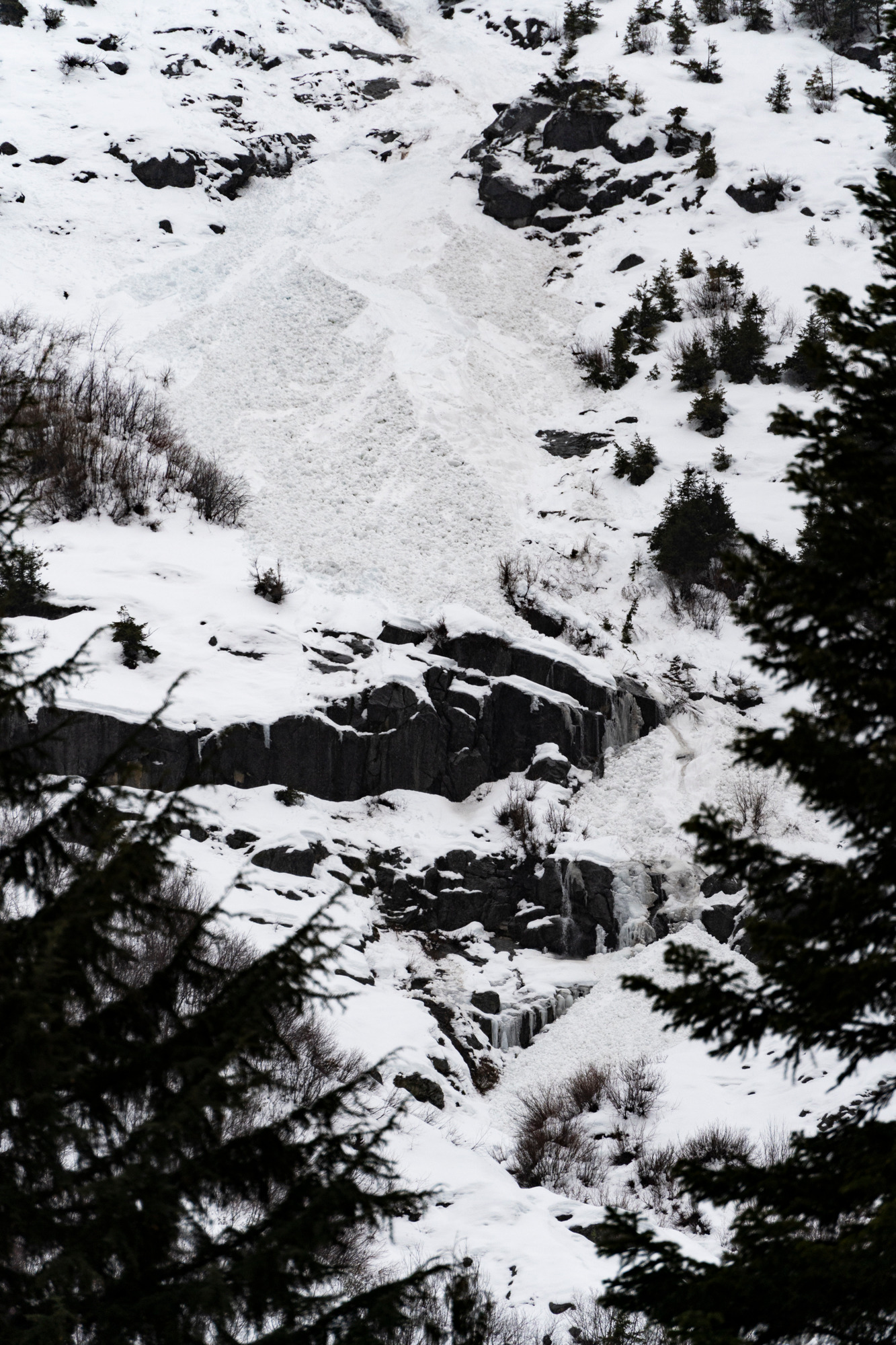
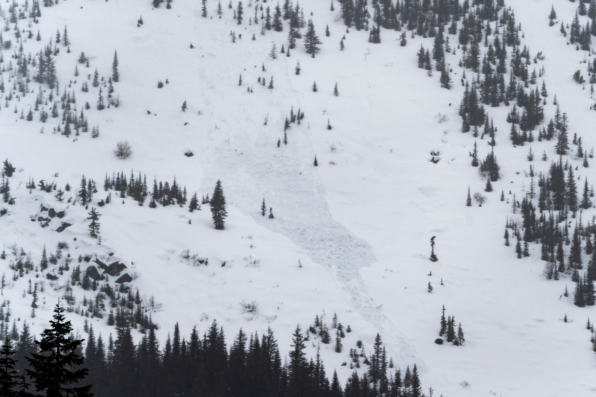
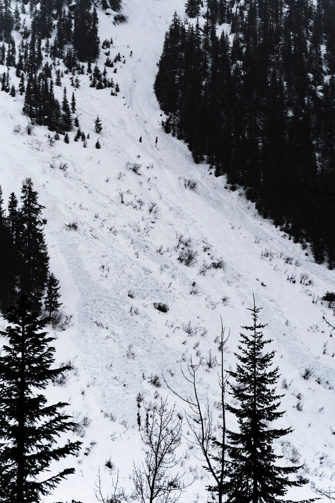
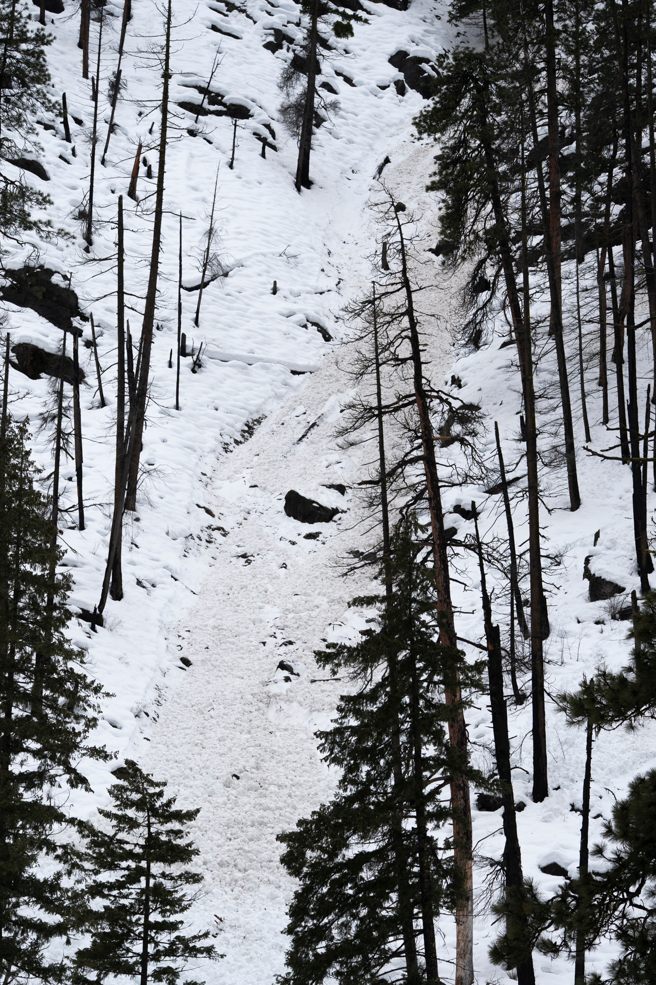
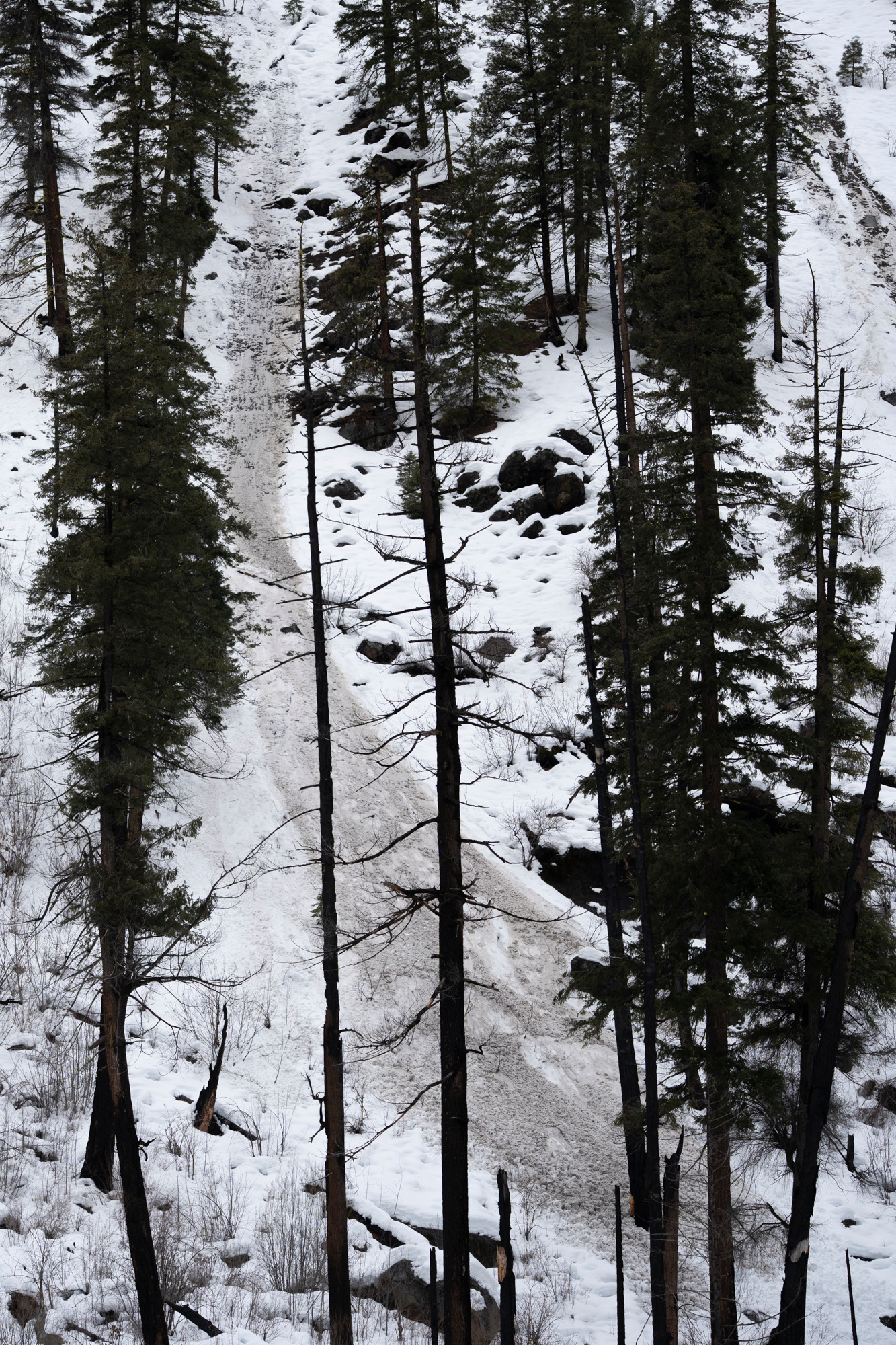
Numerous wet avalanches, no confirmed crowns. Likely Wet Loose. Many D1, numerous D2, at least one D2.5. Most avalanches viewed from the highway corridor occurred by daylight on 2/23. A 9a cycle of natural avalanches occurred in closed inbound terrain at Stevens Pass resort. Other locations include: the Wellington path (Windy Ridge), Skyline Lake chutes, multiple D1.5 on Cowboy Mtn (Bobby/Nancy), Berne Chutes (Nason Ridge), The Swath (White Pine creek), Tumwater canyon- Swiftwater picnic area