
Quick report
- Cracking
- isolated
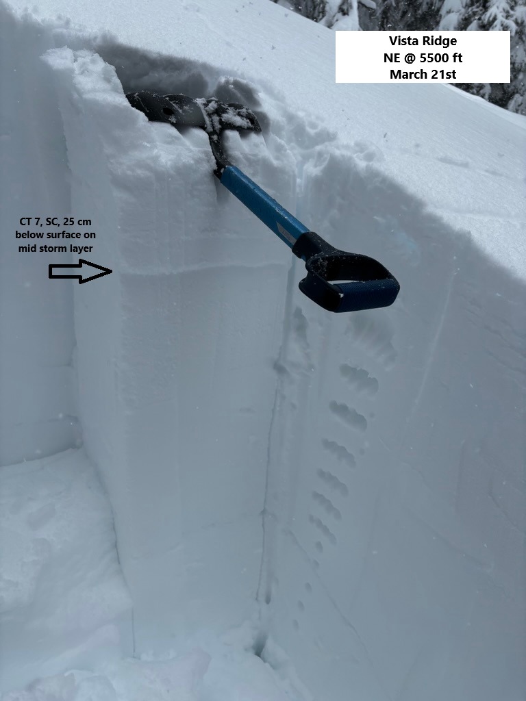
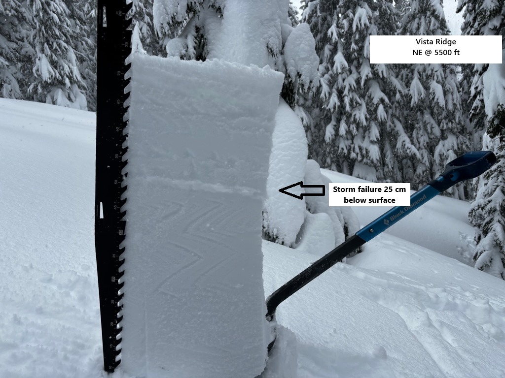
I went for a stormy morning walk and found an upside-down, moist upper snowpack at lower and middle elevations. Cracking was limited, but snowpack tests consistently produced unstable test results on a weaker layer 8-10 inches below the surface. Poor visibility and heavy drifting turned me around 6200 ft. Surfaces became heavily wind-affected around 5900 ft.
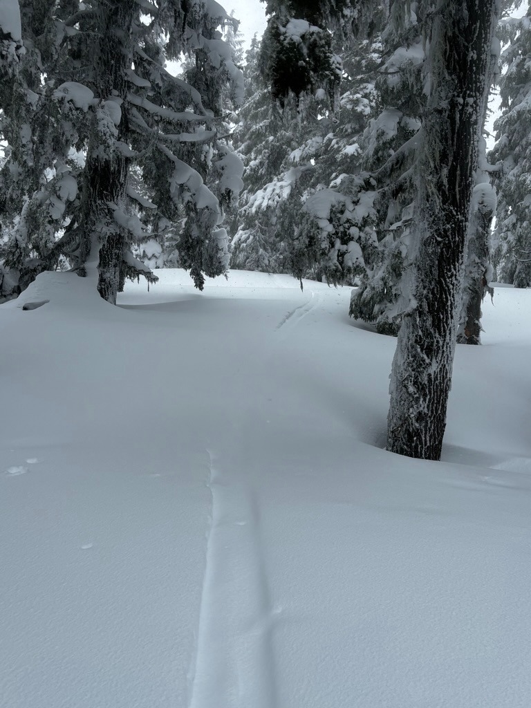
Trailbreaking is deep and laborious. Tree-wells and creek holes are a real hazard at the moment.
The new snow was stacking up as I left the field around 1 PM.
Instability was confined to the new and wind-drifted snow.Weather
- Air Temp
- 32
- Cloud Cover
- obscured
- Wind Loading
- intense
- Rain Elevation
- 4500
- Recent Snowfall
- 20 cm
- Snow Avail For Transport
- large amounts
Snowing and blowing! Very stormy and wet. Snow lines sat around 4500-5000 ft. While precipitation stayed in solid form through the morning, I was still drenched after my tour.
Snowpack
As of Friday morning, the new snow was wet and upside down. Travel was tough and deep. While I didn't see much for cracking on the ascent, snowpack tests quickly produced unstable test results. CTs produced SP results with easy force, shovel tilt tests popped right out, and I received ECTNs on the same layer of fist-hard, softer snow beneath a 4-finger layer of moist new snow.
Around 5900 ft, the new snow became more supportable and drifted. Above 6000 ft, I found thick drifts and poor visibility.