Morrisey Is Still On!
Apr 10th, 2026 3:00 PM
southrockies
Flathead
Details
Type
quick
Coordinates
49.406200, -114.970910
Quick Observation
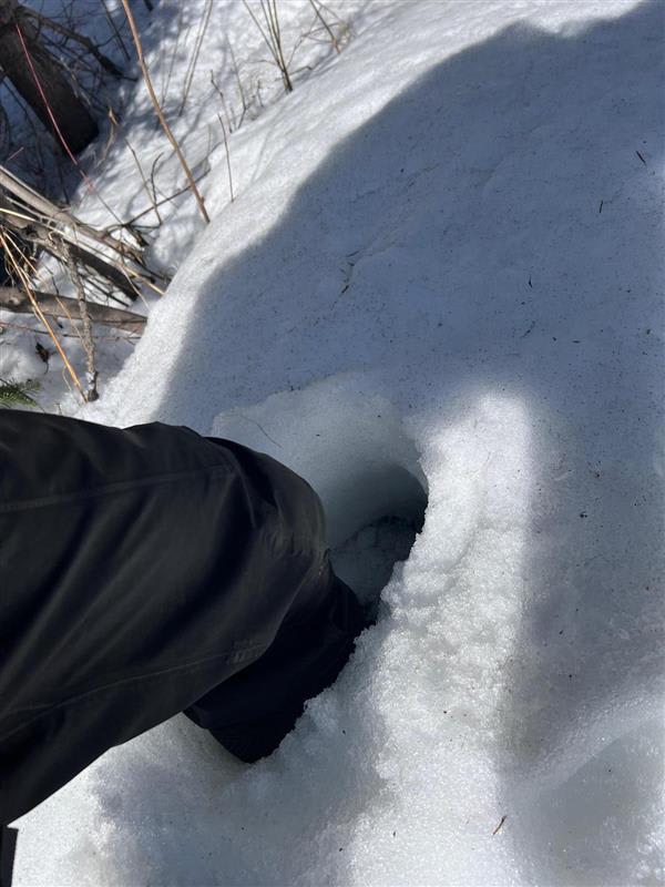
This morning, when we checked the weather, we noticed we didn’t get as strong of a freeze overnight, and temperatures were already climbing. Knowing this, we chose a trip plan closer to home to maximize our time outside before peak daytime warming. We decided to head to Morrissey and drove the Morrissey Creek FSR to about km 25, where the snow line started.
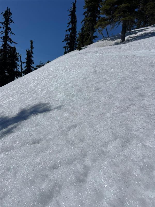
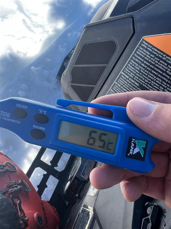
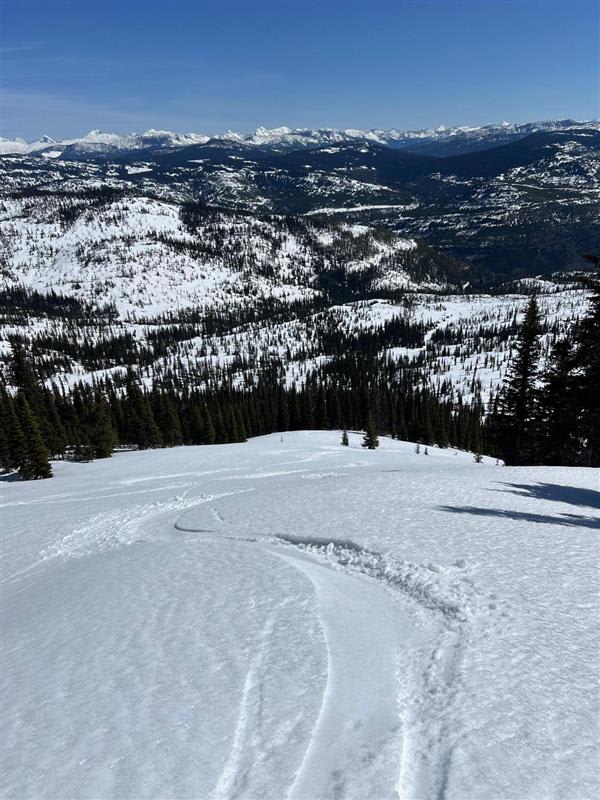
The skies were clear, the sun was hot, and there was little to no wind to keep the snow surface cool. We traveled up to 2100 m on Morrissey Ridge, where it was +6°C at noon. Ski quality was great, with 190 cm of snow still on Morrissey Ridge. The top 2–5 cm of snow was soft and sitting on a supportive crust. We called it a day at 2 p.m. once the snow became isothermal and the crust stopped being supportive.
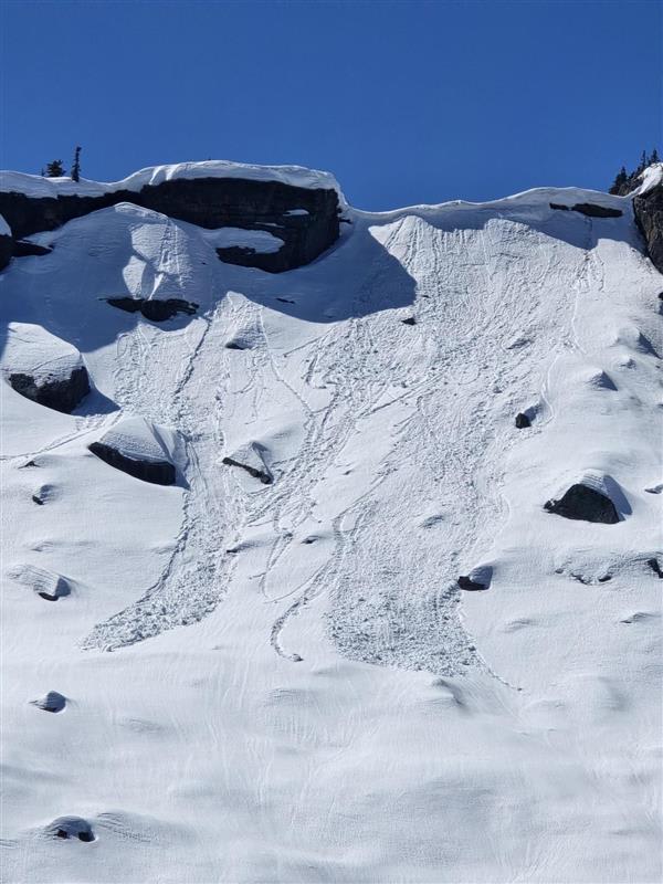
Throughout the day, we had excellent visibility and did not observe any avalanche activity. The snowpack is currently going through a classic diurnal cycle, freezing overnight and melting during the day. This can provide stable conditions in the early morning, with a rising hazard trend throughout the day. GOing forward into the weekend, we may not get the same refreeze. Keep an eye on the avalanche forecast and local weather forecast to have the best plan for riding this weekend!
P.S. It was nice to see several groups of snowmobilers out there. Winter's not done yet!
Photos (6)