
Quick report
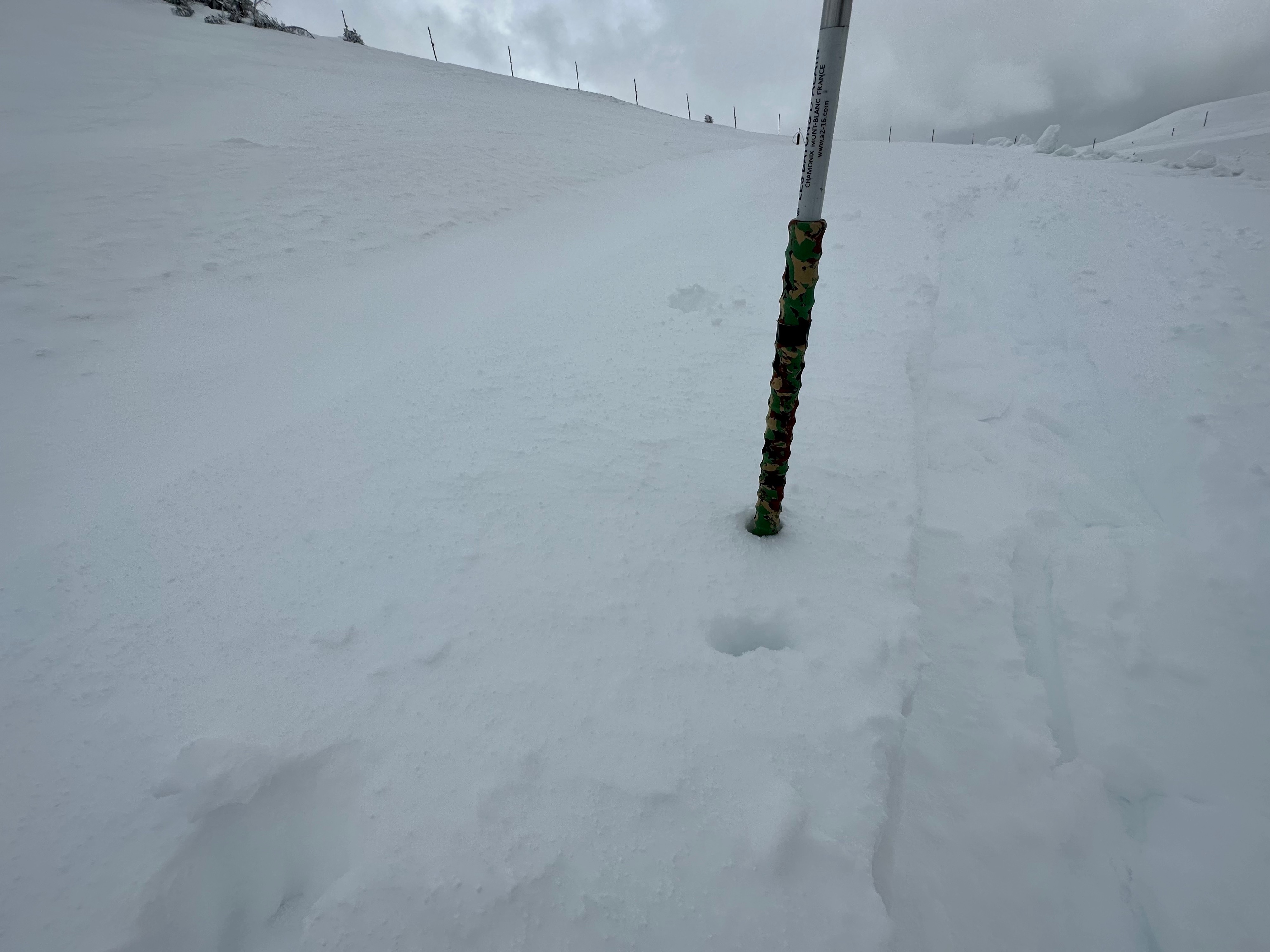
A couple inches of cream snow mixed with a bit of graupel, around 4-6cm in the upper elevations. The snow is sitting on top of an edgeable firm crust, I say edgeable because the interface wasn't terribly crusty until you reached the upper elevations. The wind had transported this snow near the ridgelines, and surprisingly I found a few locations near the top with 30cm of snow – additionally the interface here was more scoured and icier. I’d expect some areas in the high peaks to have similar characteristics and perhaps more reactivity with some wind drifted snow in very steep terrain – increasing in sensitivity when the temperatures warm and the sun pokes out again.
Today winds were light with cool temperatures below freezing. The sun emerged in the late afternoon though the highest peaks within GTNP seemed shrouded in clouds.
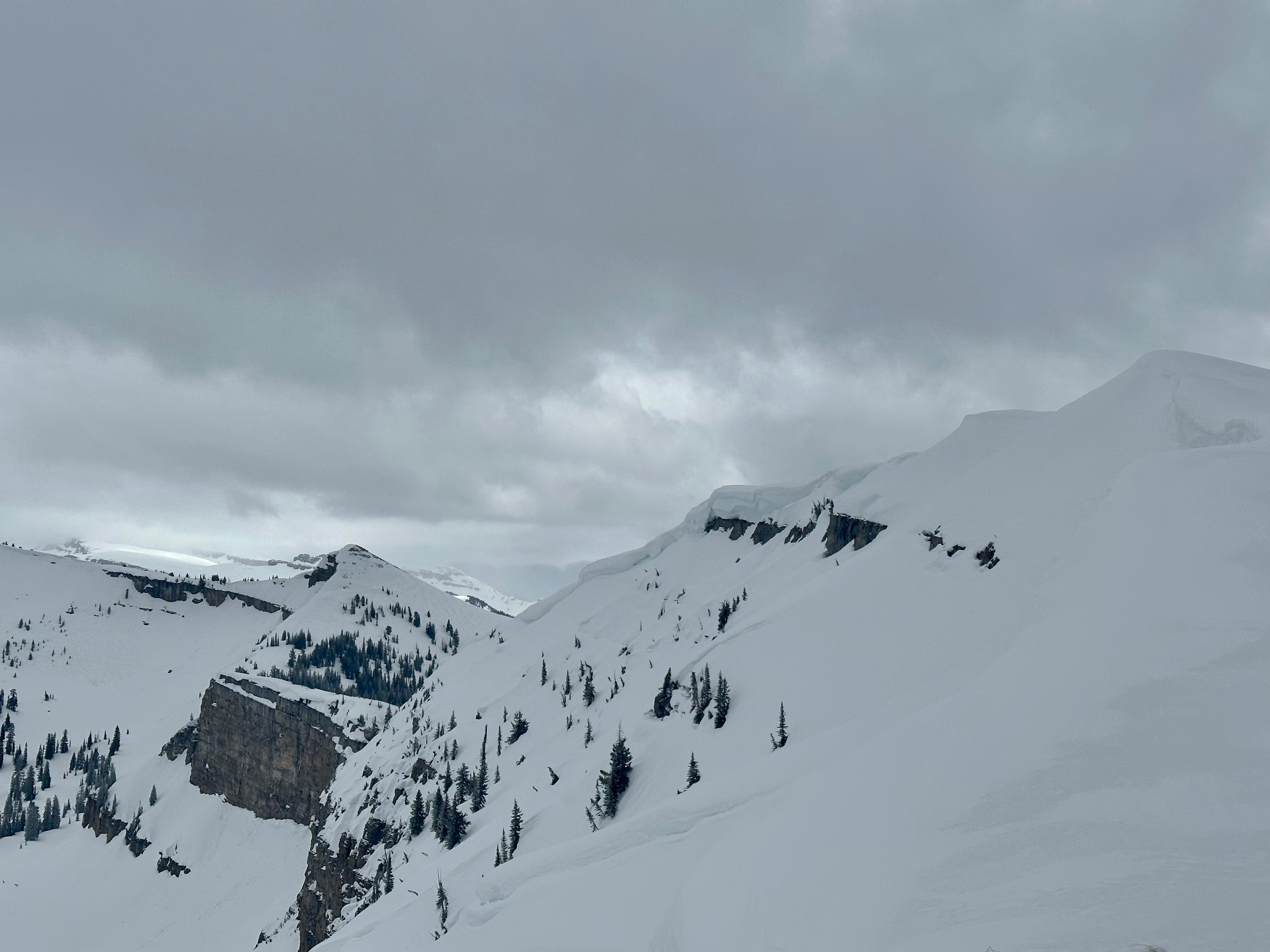
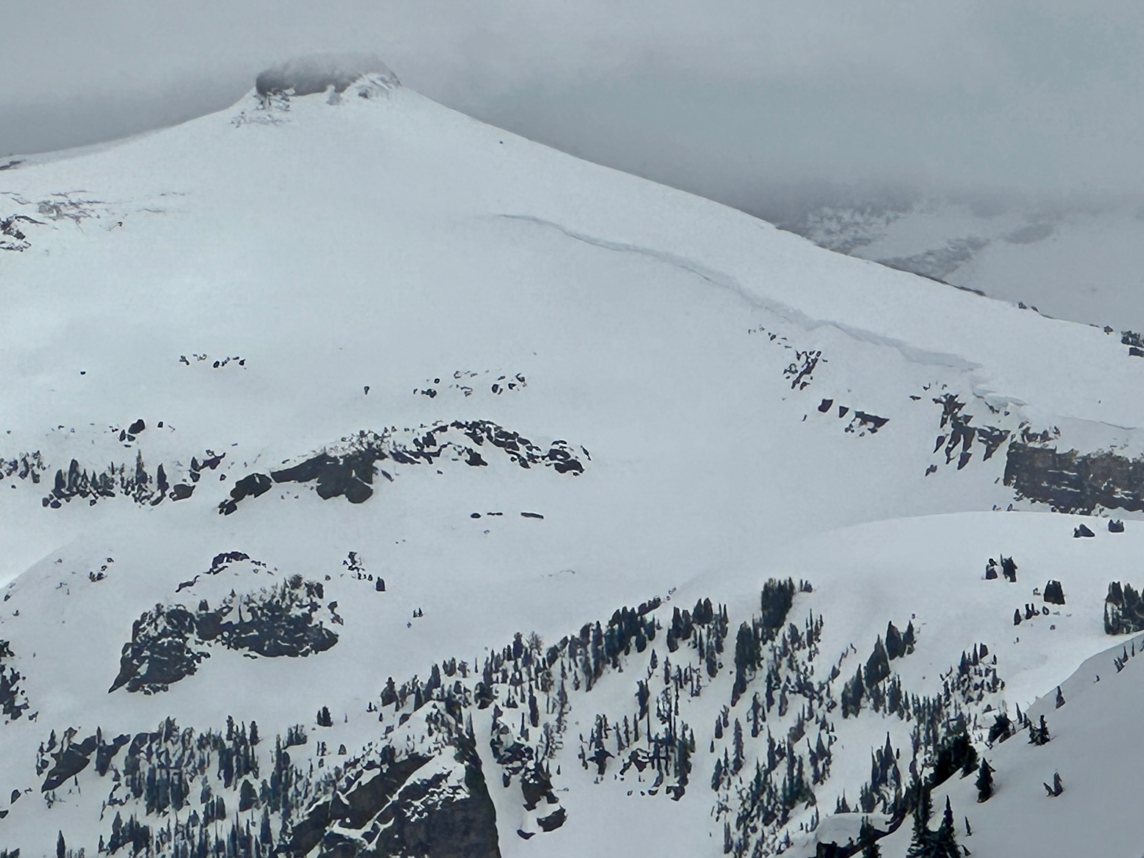
Photos below show the deeper drifts of snow today and some looming cornices. Yesterday’s observation and close call on Togwotee (thank for you submitting!) highlights the risk of cornices and warming snowpacks this time of year.