
Quick report
- Collapsing
- specific
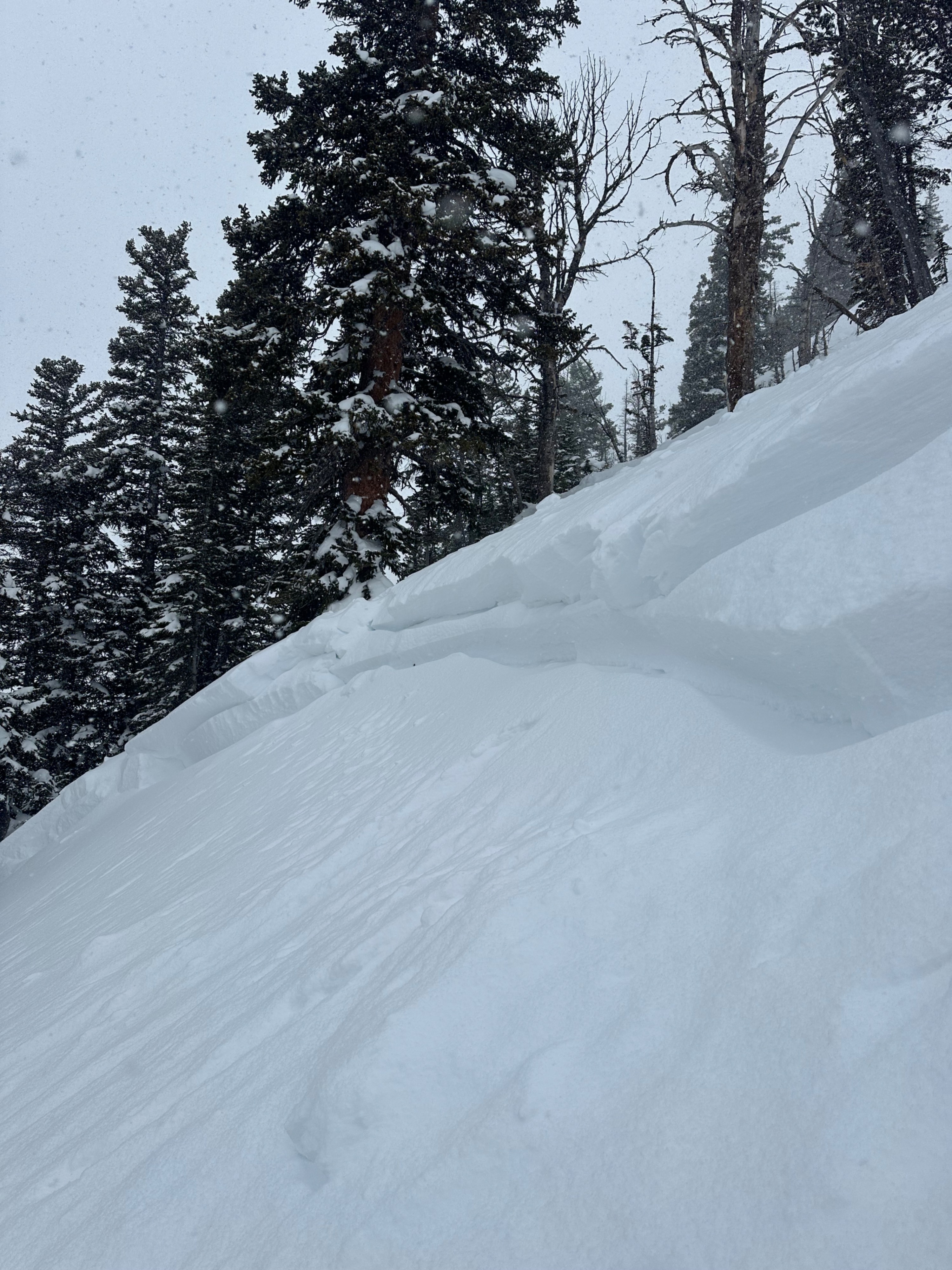
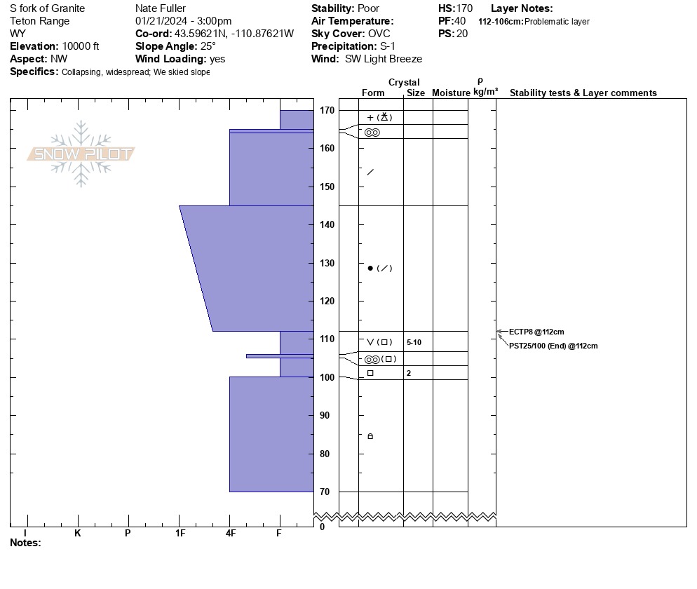
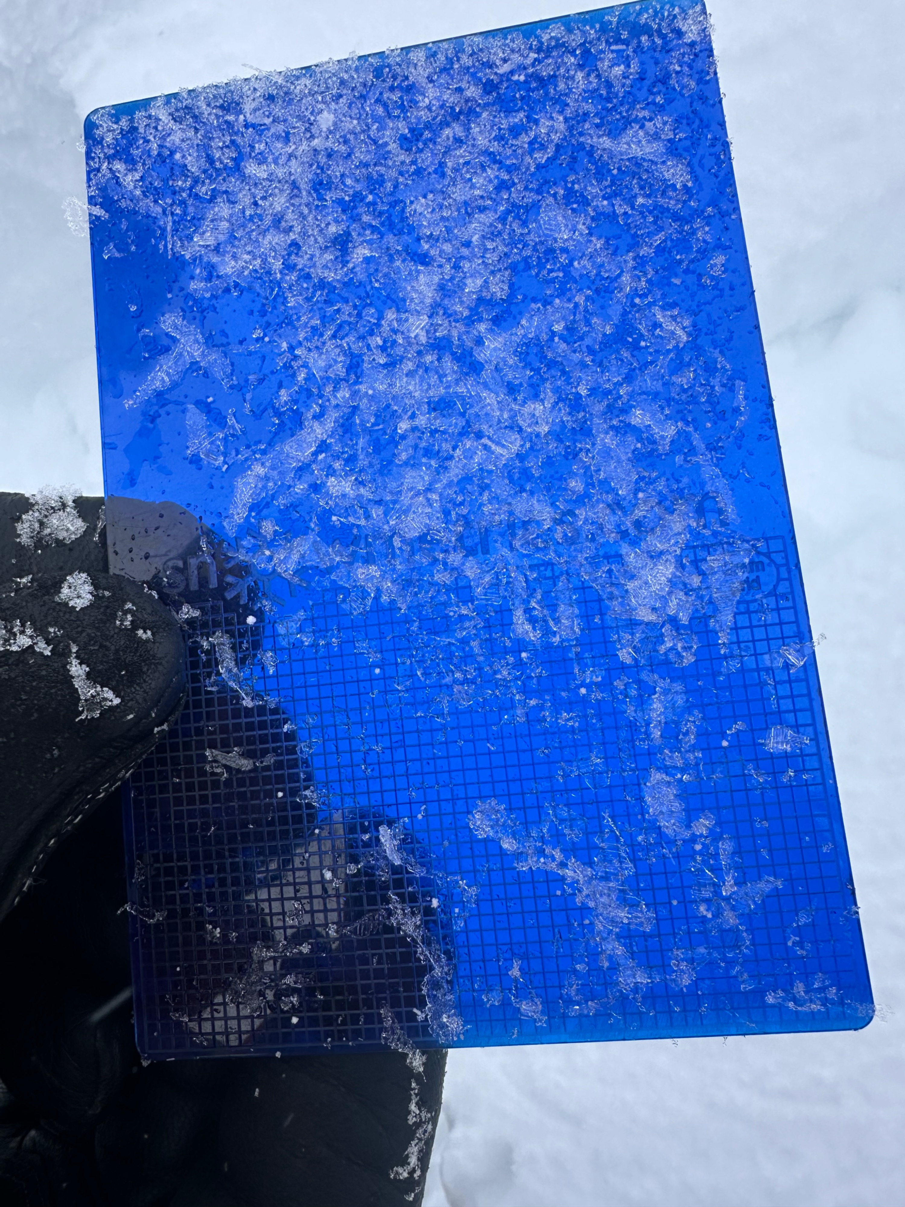
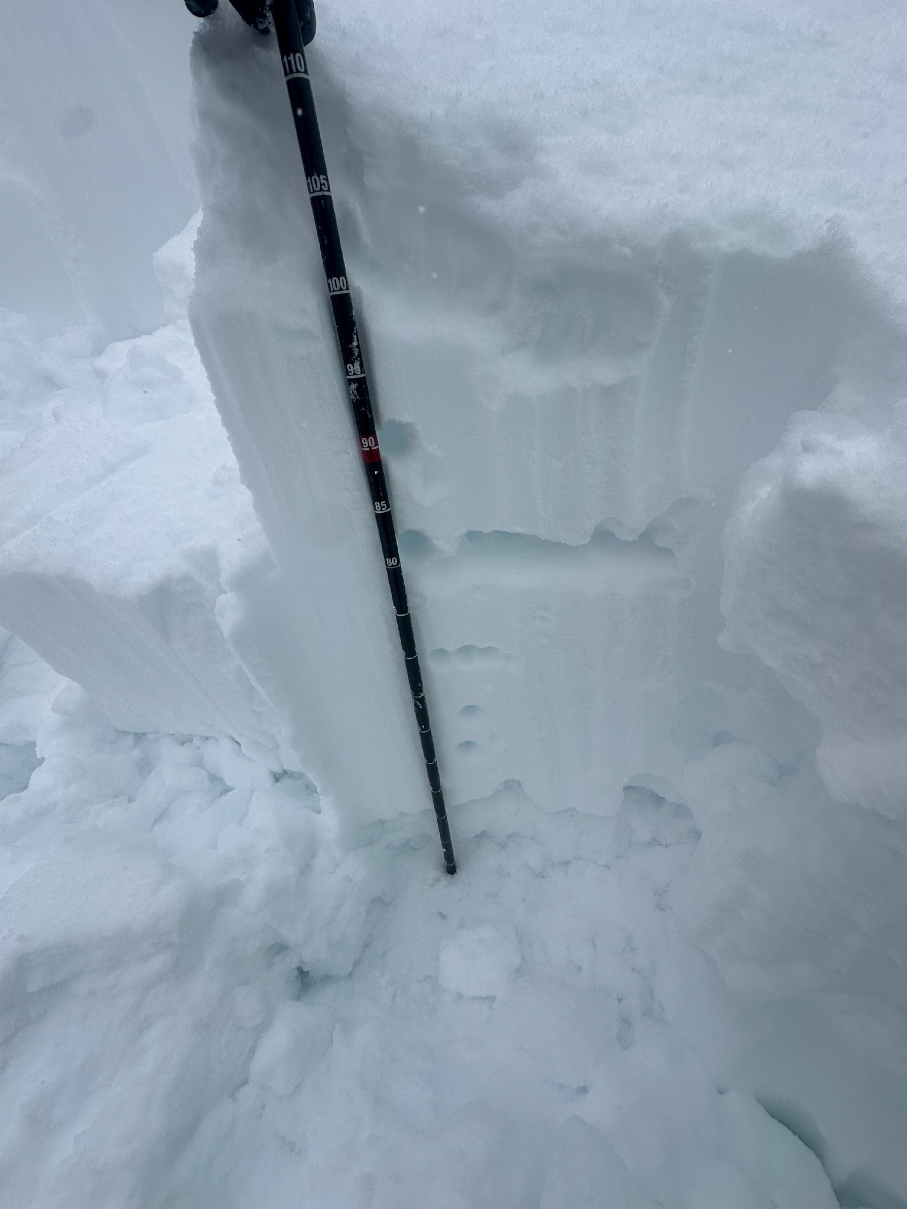
Experienced large collapses on N/NE facing terrain. Snowpit revealed easy propagation (ETCP8, PST 25/100 End) with a total HS 180cm (~ 6 feet total height of snow) and problem layer at 112cm (about 2-2.5 feet deep). This year is shaping up to resemble the DDL, with some notable differences in the depth of the snowpack (this year is shallower than that year) and mix of weak snow types (more surface hoar this year) and crust presence or absence that composes the problem layer. At elevations above 9,000 feet where this layer borders on being 3 feet or deeper, I think a PST might be a better tool for tracking activity. At middle and low elevations, this weak snow will likely remain easier to impact and trigger for longer, making these areas more hazardous moving forward. There's certainly good riding to be had (especially if caught before it's been refreezing lately and while things are still riding soft), but choosing terrain and aspects appropriate to the current avalanche problem is key. As time passes with fairly stable weather & slowly trickling snowfall, this problem will slowly become less likely to trigger. However, the consequences of triggering it will remain the same for the near future. Give yourself (and this avalanche problem) an extra wide margin this season, and give things more time.
Weather
- Cloud Cover
- broken
- Wind Loading
- light
- Recent Snowfall
- 2
- Snow Avail For Transport
- small smounts
Snowpack
~16 days of snowfall has settled into a cohesive hard slab